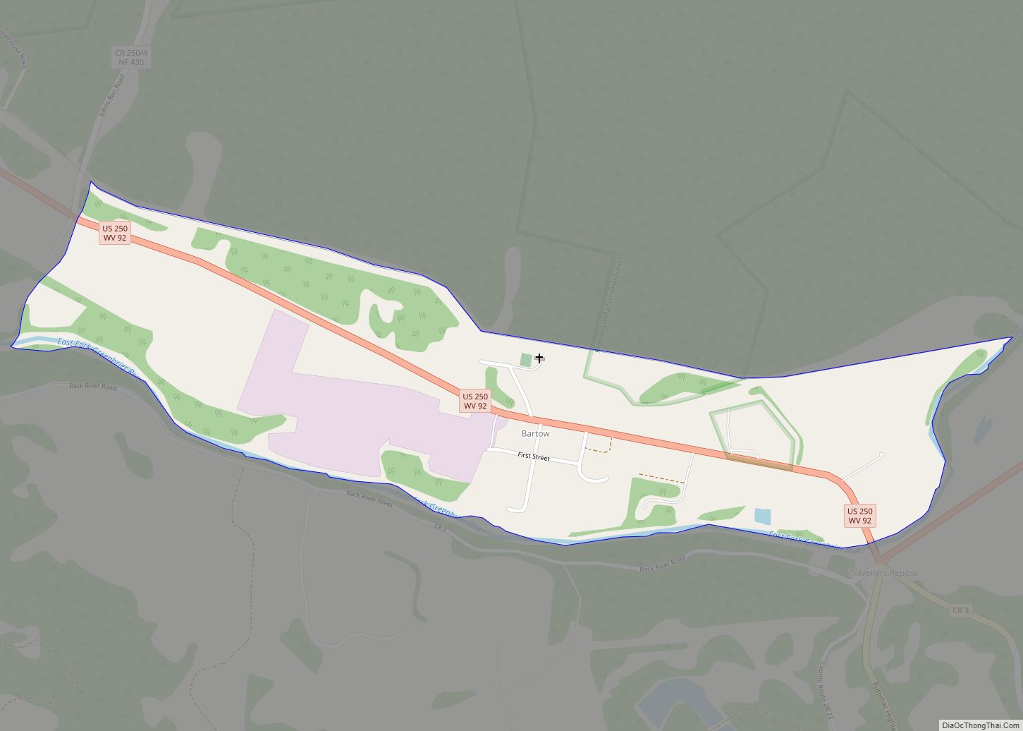
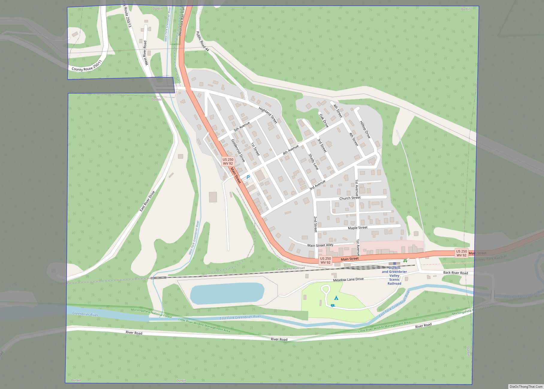
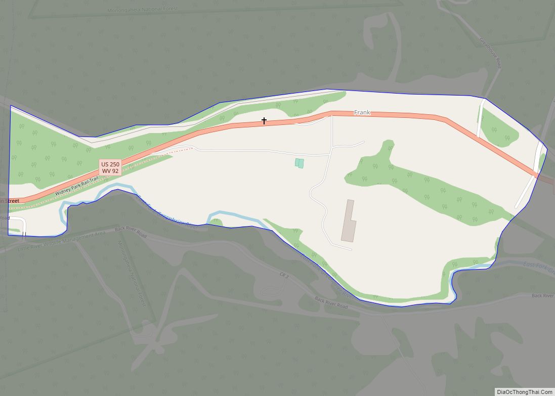
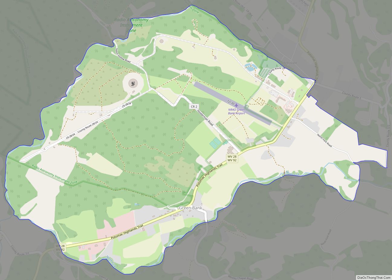
Cass is a census-designated place (CDP) and unincorporated community on the Greenbrier River in Pocahontas County, West Virginia, United States. The population was 38 at the 2020 census. The community, founded in 1901, was named for Joseph Kerr Cass, vice president and cofounder of the West Virginia Pulp and Paper Company.
| Name: | Cass CDP |
|---|---|
| LSAD Code: | 57 |
| LSAD Description: | CDP (suffix) |
| State: | West Virginia |
| County: | Pocahontas County |
| Total Area: | 0.790 sq mi (2.05 km²) |
| Land Area: | 0.790 sq mi (2.05 km²) |
| Water Area: | 0 sq mi (0 km²) |
| Total Population: | 38 |
| Population Density: | 48/sq mi (19/km²) |
| FIPS code: | 5413684 |
Online Interactive Map
Click on ![]() to view map in "full screen" mode.
to view map in "full screen" mode.
Cass location map. Where is Cass CDP?


History
Cass was created in 1901 as a company town for those who worked for West Virginia Pulp and Paper Company, logging the nearby Cheat Mountain. The cut logs were brought by rail to the town, where they were processed for use by paper and hardwood-flooring companies throughout the United States. Cass’s skilled laborers, who worked in the mill or the locomotive repair shop, lived with their families in 52 white-fenced houses, built in orderly rows on a hill south of the general store.
In 1960 the mill closed. In 1963, the state bought the logging railroad and converted it into a tourist attraction, carrying passengers into the vast Monongahela National Forest. In the late 1970s, the state bought most of the town and its buildings for the new Cass Scenic Railroad State Park. In 1982 the mill burned down.
The Cass Historic District was listed on the National Register of Historic Places in 1980.
Cass Road Map

Cass city Satellite Map

See also
Map of West Virginia State and its subdivision:- Barbour
- Berkeley
- Boone
- Braxton
- Brooke
- Cabell
- Calhoun
- Clay
- Doddridge
- Fayette
- Gilmer
- Grant
- Greenbrier
- Hampshire
- Hancock
- Hardy
- Harrison
- Jackson
- Jefferson
- Kanawha
- Lewis
- Lincoln
- Logan
- Marion
- Marshall
- Mason
- McDowell
- Mercer
- Mineral
- Mingo
- Monongalia
- Monroe
- Morgan
- Nicholas
- Ohio
- Pendleton
- Pleasants
- Pocahontas
- Preston
- Putnam
- Raleigh
- Randolph
- Ritchie
- Roane
- Summers
- Taylor
- Tucker
- Tyler
- Upshur
- Wayne
- Webster
- Wetzel
- Wirt
- Wood
- Wyoming
- Alabama
- Alaska
- Arizona
- Arkansas
- California
- Colorado
- Connecticut
- Delaware
- District of Columbia
- Florida
- Georgia
- Hawaii
- Idaho
- Illinois
- Indiana
- Iowa
- Kansas
- Kentucky
- Louisiana
- Maine
- Maryland
- Massachusetts
- Michigan
- Minnesota
- Mississippi
- Missouri
- Montana
- Nebraska
- Nevada
- New Hampshire
- New Jersey
- New Mexico
- New York
- North Carolina
- North Dakota
- Ohio
- Oklahoma
- Oregon
- Pennsylvania
- Rhode Island
- South Carolina
- South Dakota
- Tennessee
- Texas
- Utah
- Vermont
- Virginia
- Washington
- West Virginia
- Wisconsin
- Wyoming