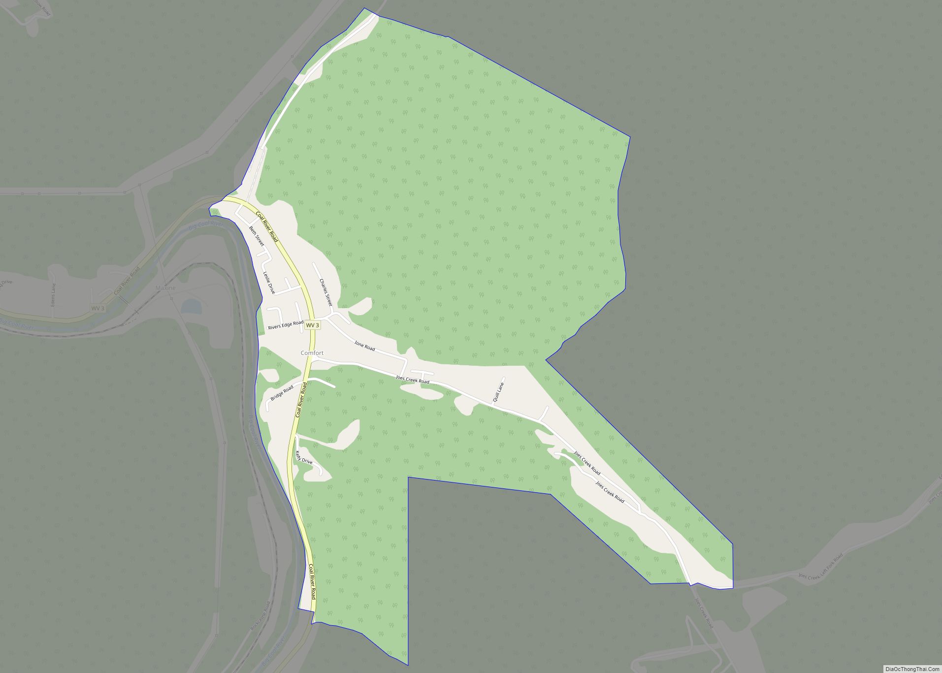
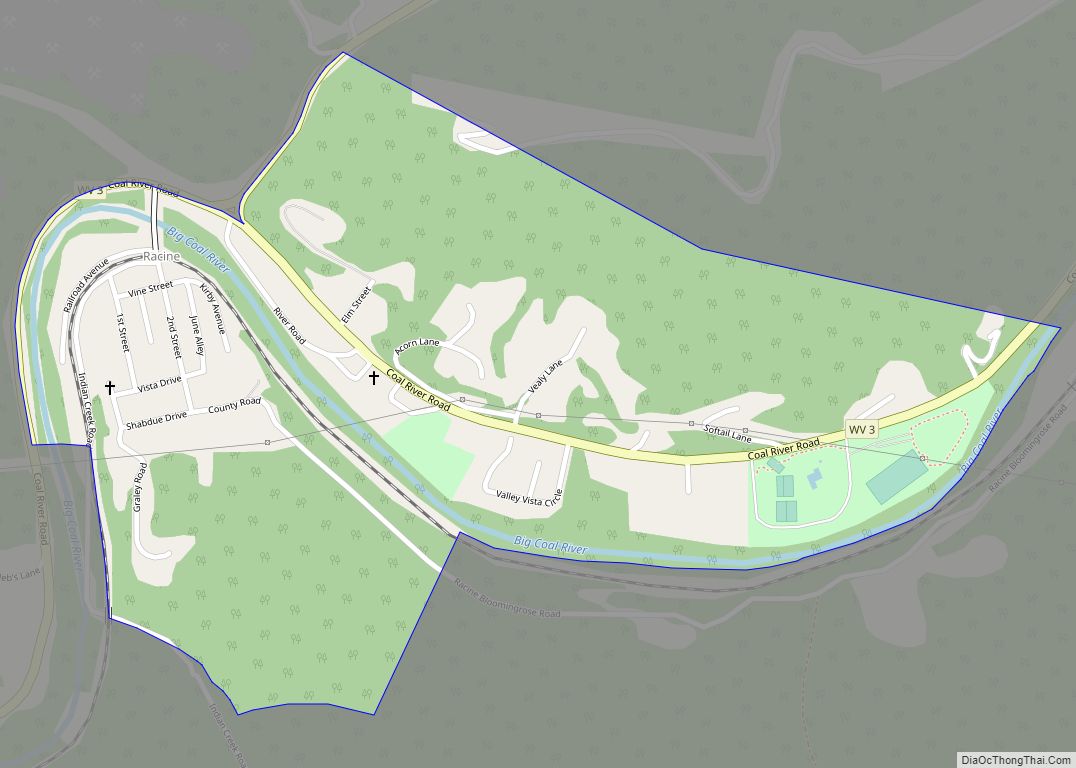
Comfort is a census-designated place (CDP) in Boone County, West Virginia, United States. Comfort is located on West Virginia Route 3, 12 miles (19 km) northeast of Madison. Comfort has a post office with ZIP code 25049. As of the 2010 census, its population is 306. Comfort is the home of Sherman Elementary School.
| Name: | Comfort CDP |
|---|---|
| LSAD Code: | 57 |
| LSAD Description: | CDP (suffix) |
| State: | West Virginia |
| County: | Boone County |
| Elevation: | 692 ft (211 m) |
| Total Area: | 1.004 sq mi (2.60 km²) |
| Land Area: | 1.004 sq mi (2.60 km²) |
| Water Area: | 0 sq mi (0 km²) |
| Total Population: | 306 |
| Population Density: | 300/sq mi (120/km²) |
| ZIP code: | 25049 |
| Area code: | 304 & 681 |
| FIPS code: | 5417380 |
| GNISfeature ID: | 1537547 |
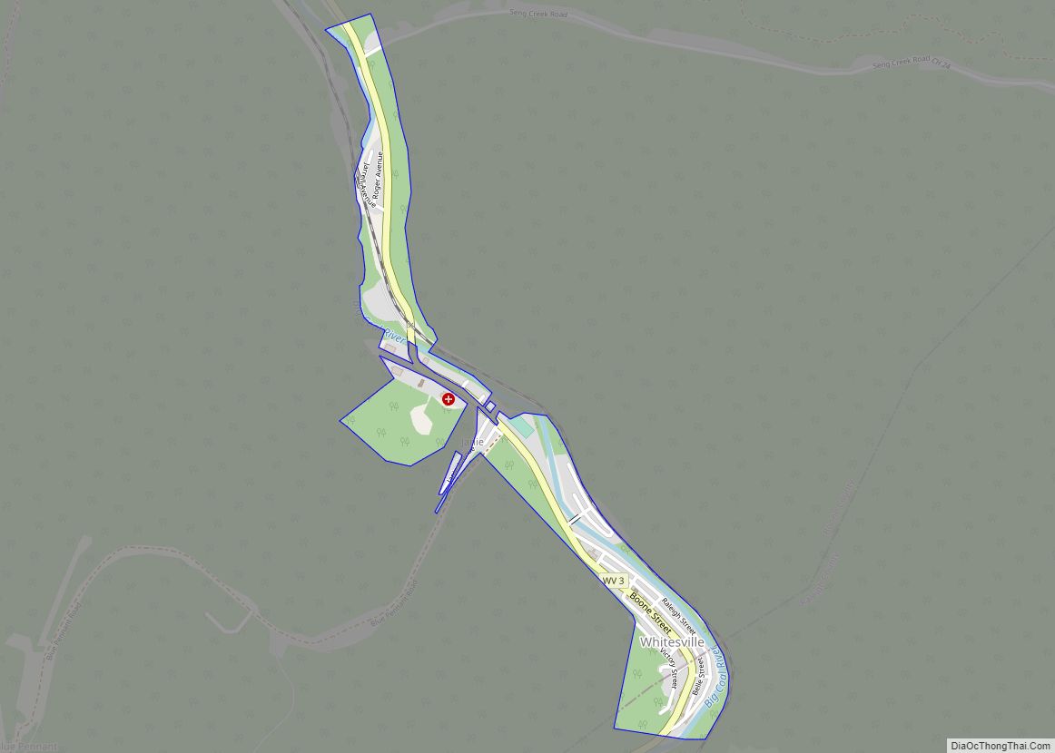
Online Interactive Map
Click on ![]() to view map in "full screen" mode.
to view map in "full screen" mode.
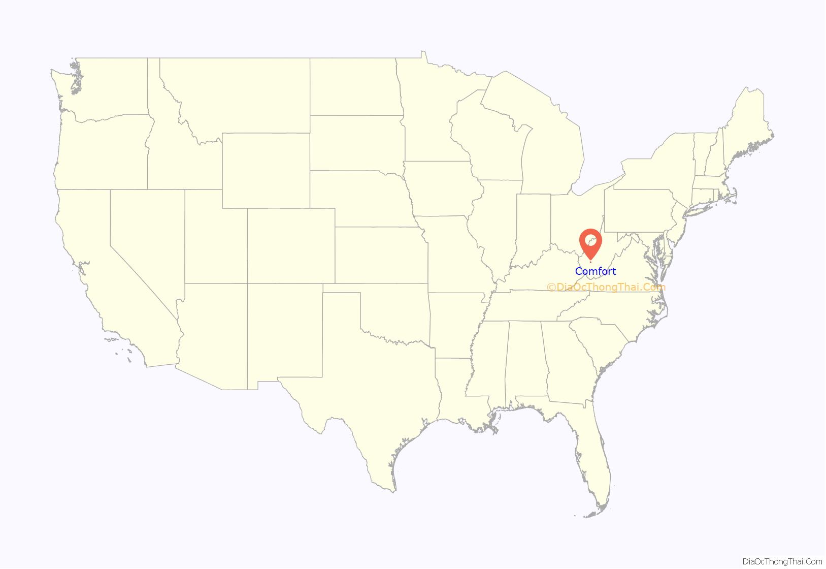
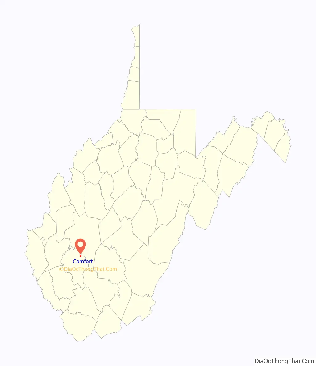
Comfort location map. Where is Comfort CDP?
Comfort Road Map
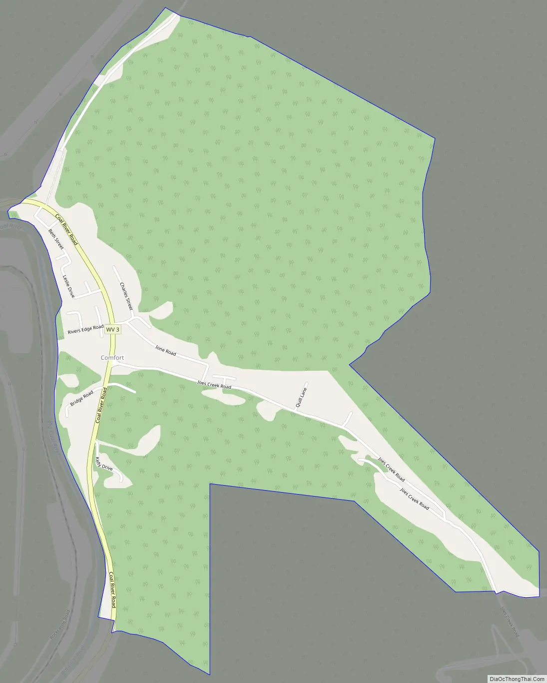
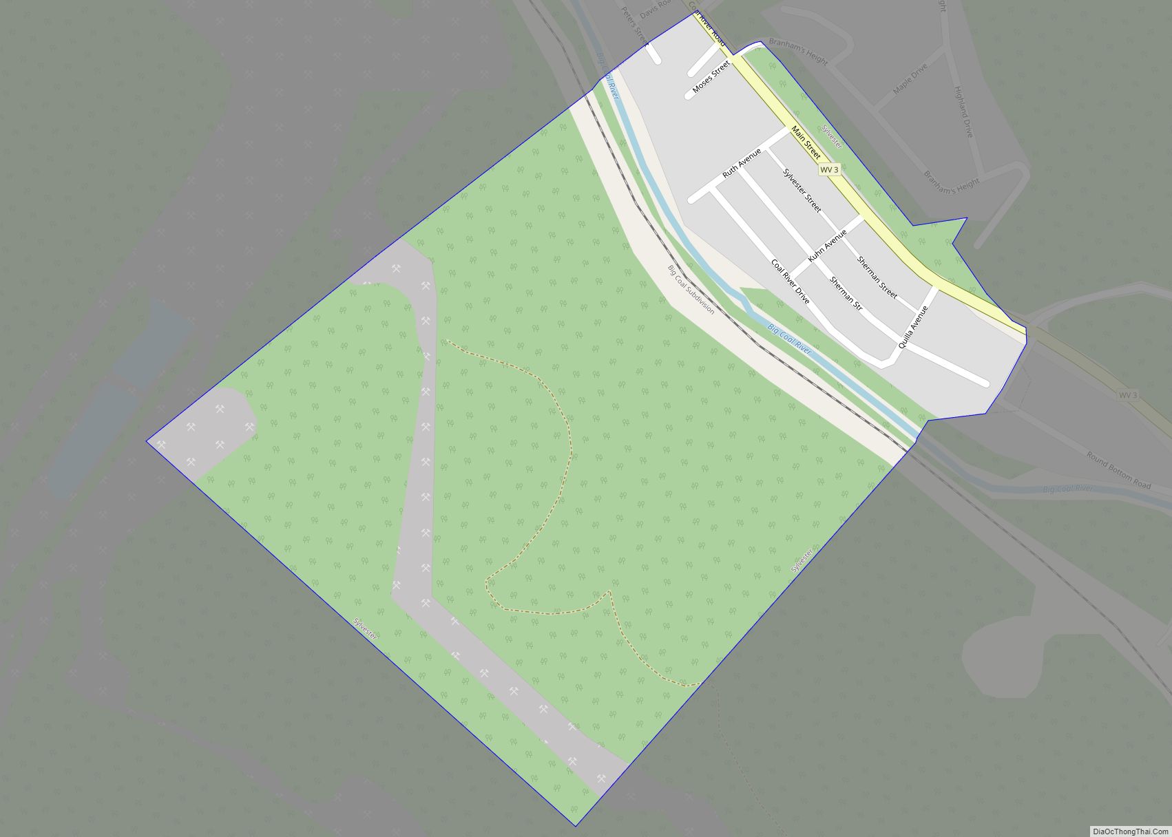
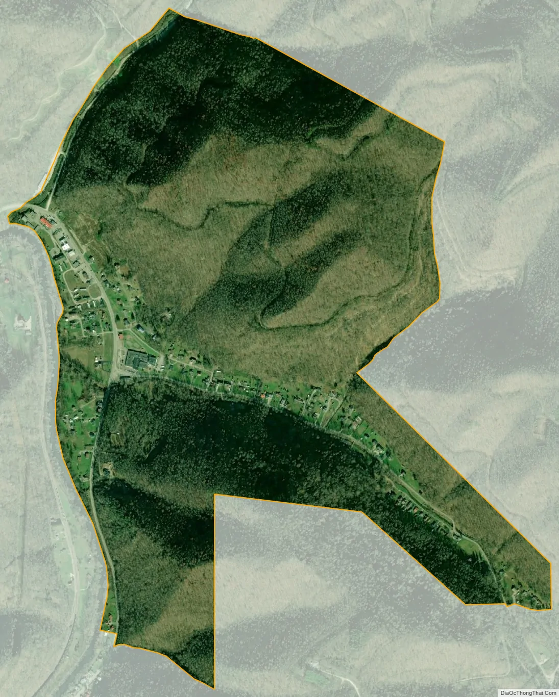
Comfort city Satellite Map
See also
Map of West Virginia State and its subdivision:- Barbour
- Berkeley
- Boone
- Braxton
- Brooke
- Cabell
- Calhoun
- Clay
- Doddridge
- Fayette
- Gilmer
- Grant
- Greenbrier
- Hampshire
- Hancock
- Hardy
- Harrison
- Jackson
- Jefferson
- Kanawha
- Lewis
- Lincoln
- Logan
- Marion
- Marshall
- Mason
- McDowell
- Mercer
- Mineral
- Mingo
- Monongalia
- Monroe
- Morgan
- Nicholas
- Ohio
- Pendleton
- Pleasants
- Pocahontas
- Preston
- Putnam
- Raleigh
- Randolph
- Ritchie
- Roane
- Summers
- Taylor
- Tucker
- Tyler
- Upshur
- Wayne
- Webster
- Wetzel
- Wirt
- Wood
- Wyoming
- Alabama
- Alaska
- Arizona
- Arkansas
- California
- Colorado
- Connecticut
- Delaware
- District of Columbia
- Florida
- Georgia
- Hawaii
- Idaho
- Illinois
- Indiana
- Iowa
- Kansas
- Kentucky
- Louisiana
- Maine
- Maryland
- Massachusetts
- Michigan
- Minnesota
- Mississippi
- Missouri
- Montana
- Nebraska
- Nevada
- New Hampshire
- New Jersey
- New Mexico
- New York
- North Carolina
- North Dakota
- Ohio
- Oklahoma
- Oregon
- Pennsylvania
- Rhode Island
- South Carolina
- South Dakota
- Tennessee
- Texas
- Utah
- Vermont
- Virginia
- Washington
- West Virginia
- Wisconsin
- Wyoming