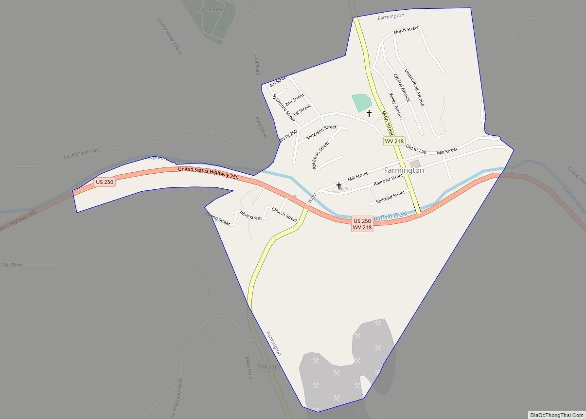
Farmington is a town in Marion County, West Virginia, United States. The population was 389 at the 2020 census. The small town is situated on Buffalo Creek and the Allegheny Mountains about 6 miles west of Fairmont, Marion County’s county seat. It is best known for being the site of the 1968 Farmington Mine disaster.
| Name: | Farmington town |
|---|---|
| LSAD Code: | 43 |
| LSAD Description: | town (suffix) |
| State: | West Virginia |
| County: | Marion County |
| Elevation: | 932 ft (284 m) |
| Total Area: | 0.43 sq mi (1.11 km²) |
| Land Area: | 0.41 sq mi (1.08 km²) |
| Water Area: | 0.01 sq mi (0.03 km²) |
| Total Population: | 389 |
| Population Density: | 879.52/sq mi (339.28/km²) |
| ZIP code: | 26571 |
| Area code: | 304 |
| FIPS code: | 5426932 |
| GNISfeature ID: | 1554446 |
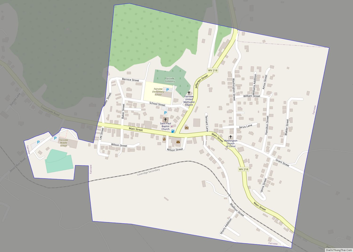
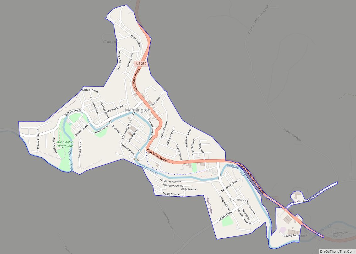
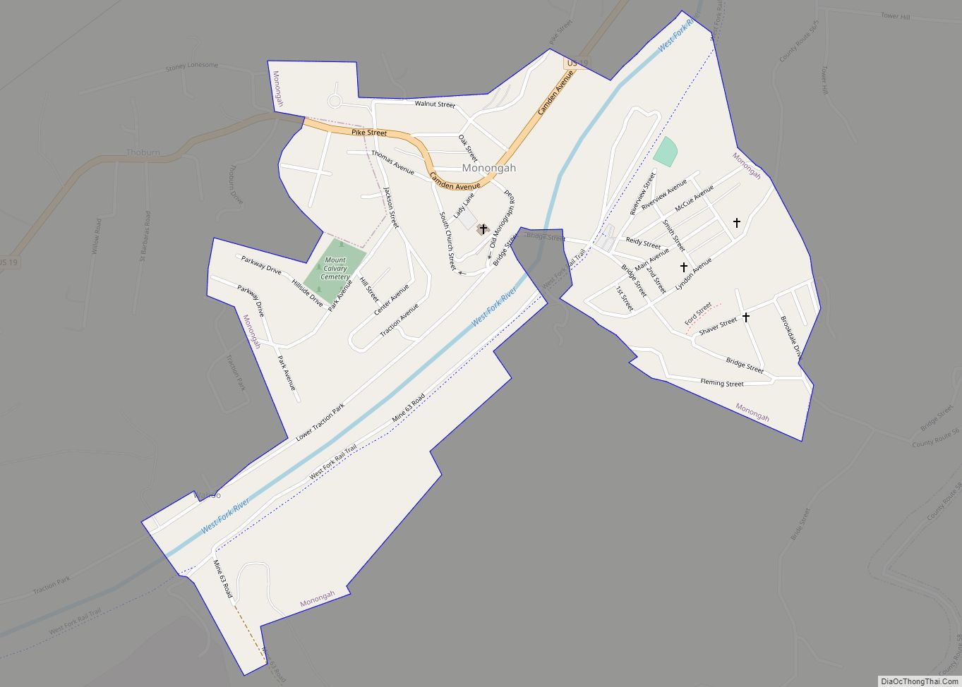
Online Interactive Map
Click on ![]() to view map in "full screen" mode.
to view map in "full screen" mode.
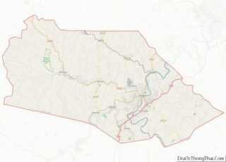
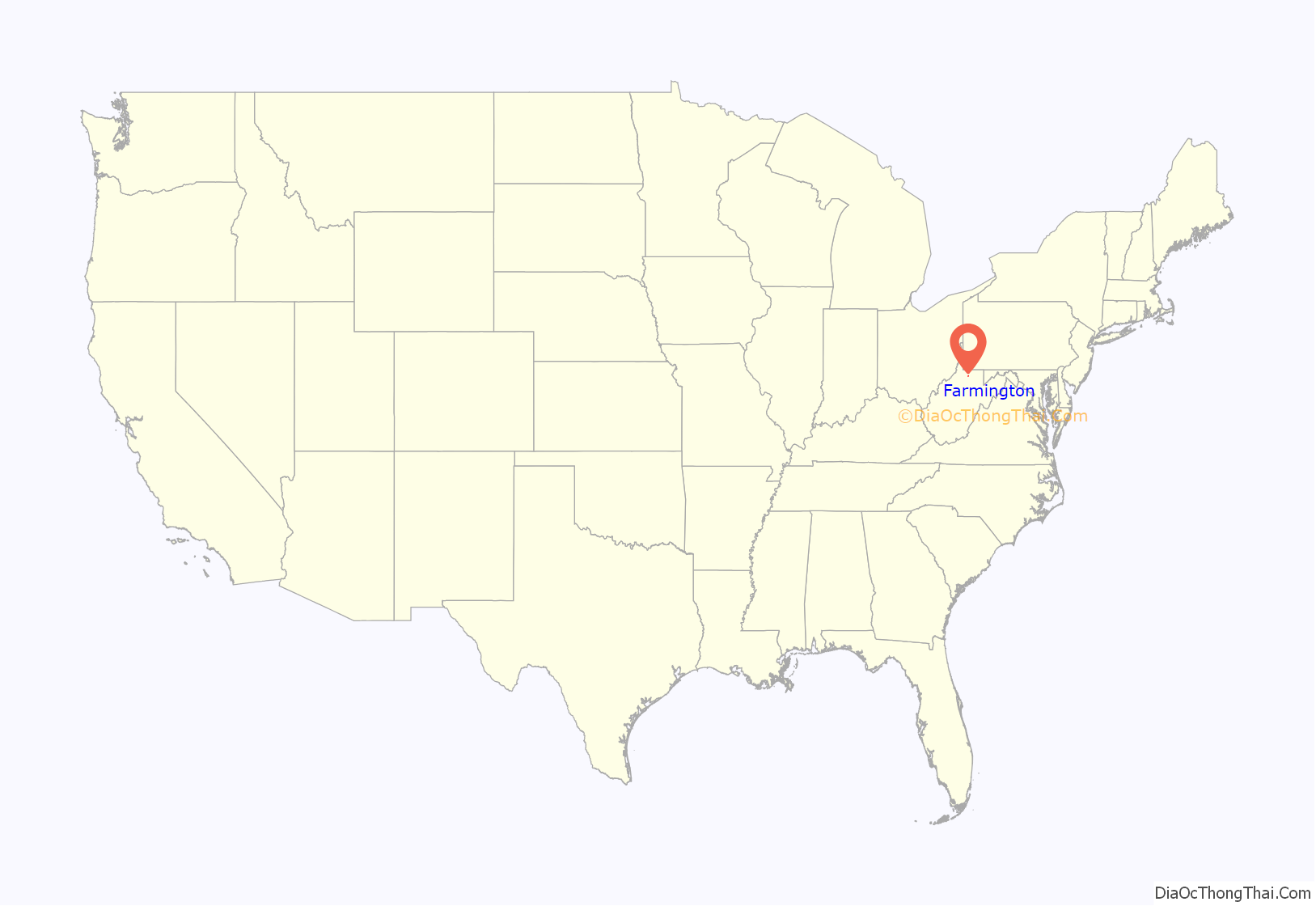
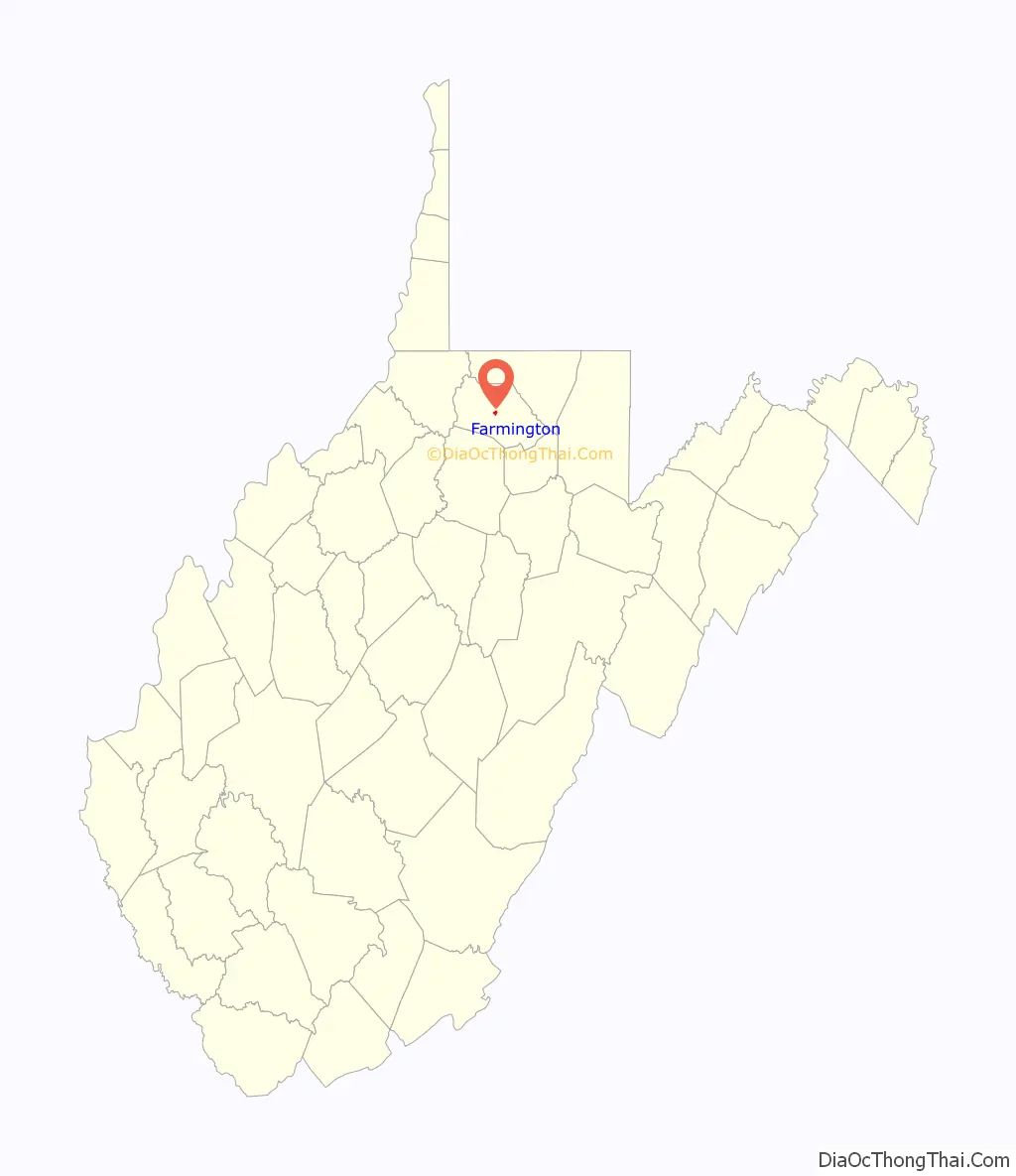
Farmington location map. Where is Farmington town?
History
The community was named for the fact a large share of the first settlers were farmers. The area was first settled by James Goodin in the late 1700s, by Nicholas Wood and family, and by Jacob Straight and family in the 1770s. A later settler, Joseph Morgan, would build a mill here in 1801. The area would later be incorporated in Marion County as the town of Farmington in 1896, but was earlier known as Willeyvile, Willeytown, and Underwood. While it was officially named Farmington in 1896, when the Baltimore and Ohio Railroad ran through the town its stations there went under the name Underwood because of there being many towns of the same name. The town was also home to mines Number 08 of Jamison Coal and Coke Company (exploded in 1926 and then sealed in the 1940s) and Number 09 of Consolidated Coal Company (exploded in 1954 and 1968, then sealed in 1978), to the Farmington High School “Farmers” and the North Marion High School Huskies, and to several small family businesses that run to present day.
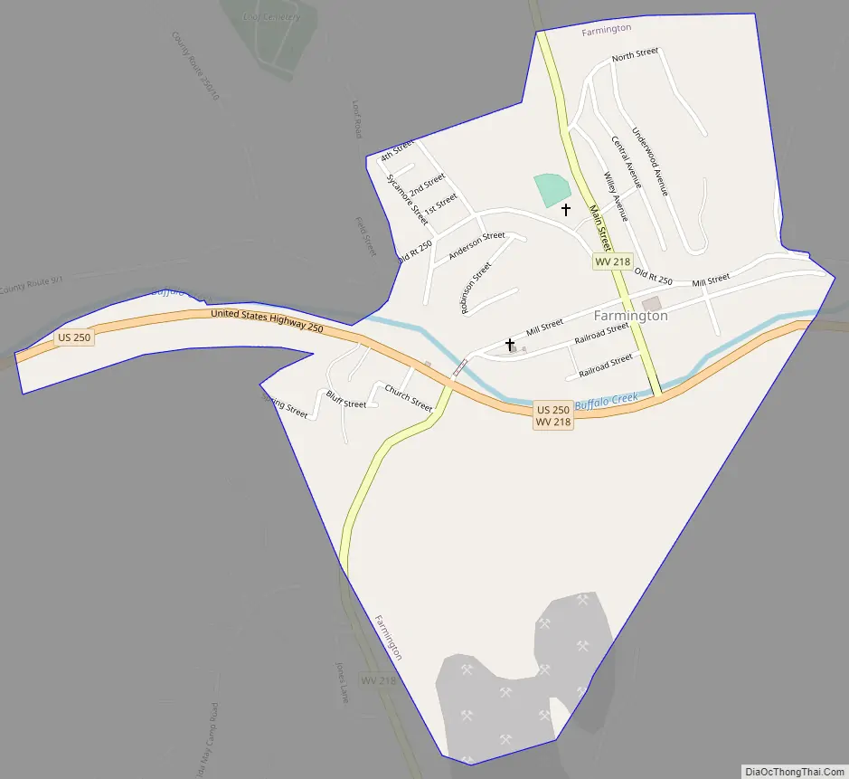
Farmington Road Map
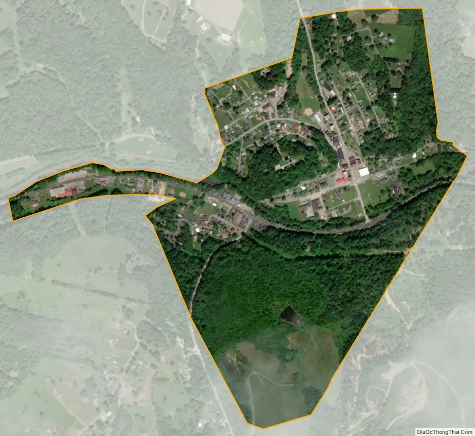
Farmington city Satellite Map
Geography
Farmington is located at 39°30′47″N 80°15′7″W / 39.51306°N 80.25194°W / 39.51306; -80.25194 (39.512979, -80.252060), along Buffalo Creek.
According to the United States Census Bureau, the town has a total area of 0.43 square miles (1.11 km), of which 0.42 square miles (1.09 km) is land and 0.01 square miles (0.03 km) is water.
See also
Map of West Virginia State and its subdivision:- Barbour
- Berkeley
- Boone
- Braxton
- Brooke
- Cabell
- Calhoun
- Clay
- Doddridge
- Fayette
- Gilmer
- Grant
- Greenbrier
- Hampshire
- Hancock
- Hardy
- Harrison
- Jackson
- Jefferson
- Kanawha
- Lewis
- Lincoln
- Logan
- Marion
- Marshall
- Mason
- McDowell
- Mercer
- Mineral
- Mingo
- Monongalia
- Monroe
- Morgan
- Nicholas
- Ohio
- Pendleton
- Pleasants
- Pocahontas
- Preston
- Putnam
- Raleigh
- Randolph
- Ritchie
- Roane
- Summers
- Taylor
- Tucker
- Tyler
- Upshur
- Wayne
- Webster
- Wetzel
- Wirt
- Wood
- Wyoming
- Alabama
- Alaska
- Arizona
- Arkansas
- California
- Colorado
- Connecticut
- Delaware
- District of Columbia
- Florida
- Georgia
- Hawaii
- Idaho
- Illinois
- Indiana
- Iowa
- Kansas
- Kentucky
- Louisiana
- Maine
- Maryland
- Massachusetts
- Michigan
- Minnesota
- Mississippi
- Missouri
- Montana
- Nebraska
- Nevada
- New Hampshire
- New Jersey
- New Mexico
- New York
- North Carolina
- North Dakota
- Ohio
- Oklahoma
- Oregon
- Pennsylvania
- Rhode Island
- South Carolina
- South Dakota
- Tennessee
- Texas
- Utah
- Vermont
- Virginia
- Washington
- West Virginia
- Wisconsin
- Wyoming