Gary is a city located along the Tug Fork River in McDowell County, West Virginia, United States. According to the 2020 census, the city had a population of 762. It was named for Elbert Henry Gary, one of the founders of U.S. Steel. The former coal towns of Elbert, Filbert, Thorpe, and Wilcoe became part of Gary at the time of its incorporation in 1971.
| Name: | Gary city |
|---|---|
| LSAD Code: | 25 |
| LSAD Description: | city (suffix) |
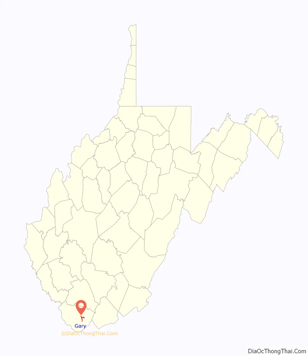
| State: | West Virginia |
| County: | McDowell County |
| Founded: | 1902 |
| Incorporated: | July 1, 1971 |
| Elevation: | 1,411 ft (430 m) |
| Total Area: | 0.87 sq mi (2.26 km²) |
| Land Area: | 0.84 sq mi (2.18 km²) |
| Water Area: | 0.03 sq mi (0.08 km²) |
| Total Population: | 762 |
| Population Density: | 936.98/sq mi (361.88/km²) |
| ZIP code: | 24836 |
| FIPS code: | 5430196 |
| GNISfeature ID: | 1554536 |
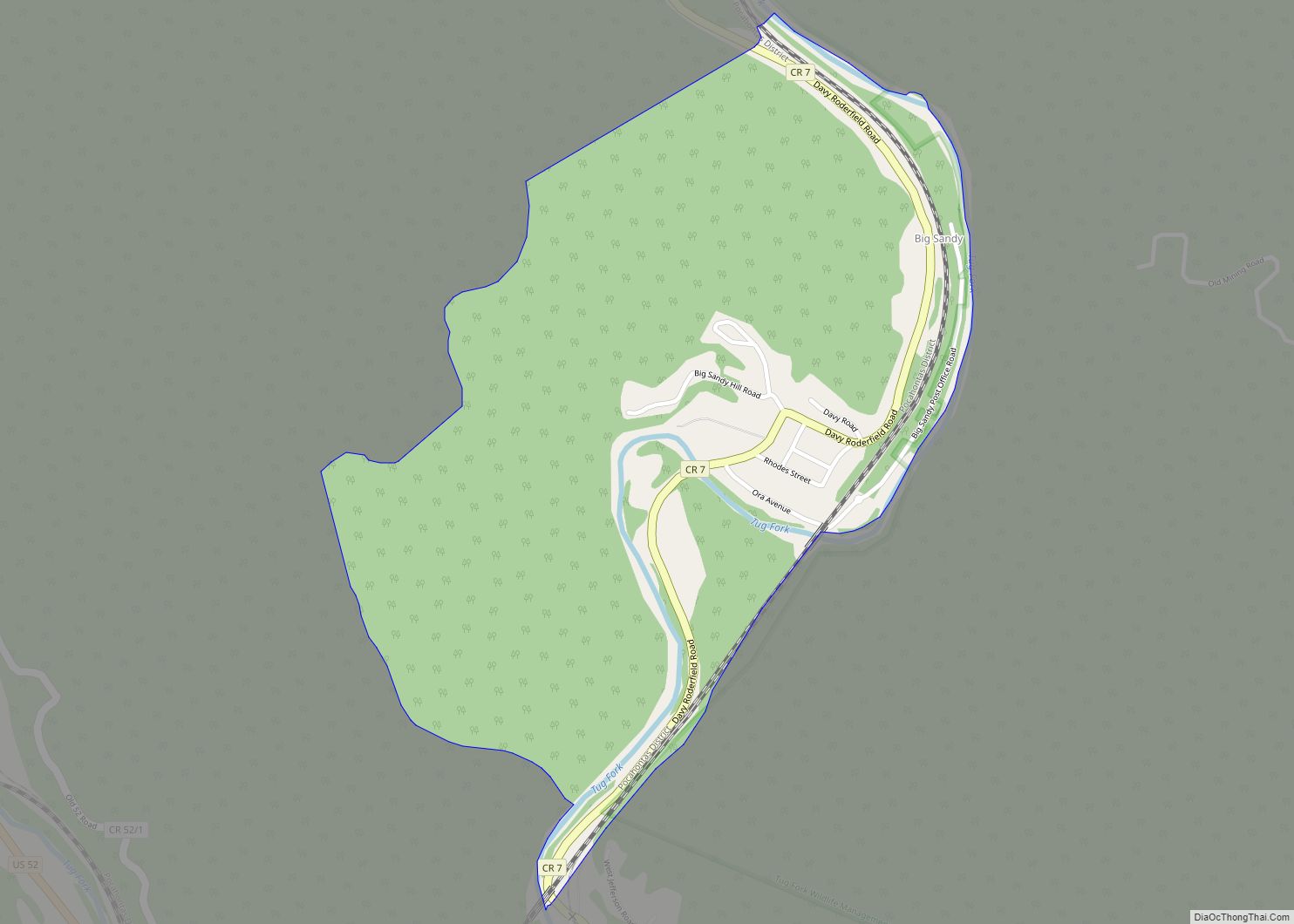
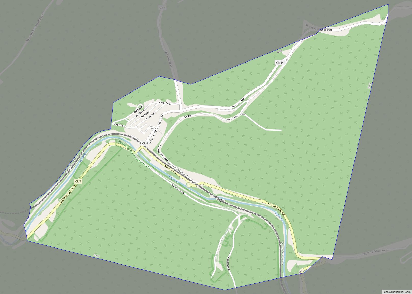
Online Interactive Map
Click on ![]() to view map in "full screen" mode.
to view map in "full screen" mode.
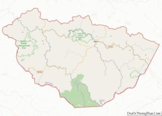
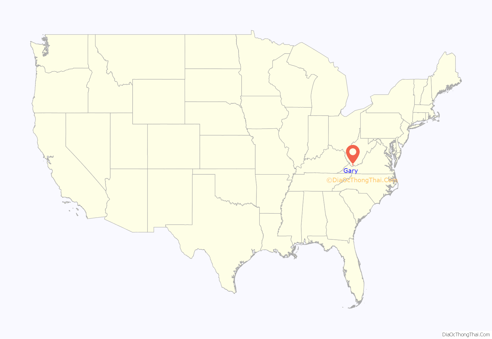
Gary location map. Where is Gary city?
History
In 1902, U.S. Steel began housing people in Gary Hollow for employment at one of the coal town’s fourteen mines that produced metallurgical coal.
During the early 1940s, Gary Hollow, named for Elbert Henry Gary, produced around a quarter of the amount of coal mined from McDowell County, as well as a quarter of the coal used by U.S. Steel during World War II. At the time, the town boasted a large number of African American miners and began integrating the school system in the 1950s. However, Gary Hollow’s education system was not completely integrated until 1964.
On July 1, 1971, the city of Gary was incorporated after the city held an election on March 16, 1970. Beginning in the 1970s, Gary’s unemployment rate began to increase after most of the high-quality metallurgical coal had already been mined. In March 1982 alone, around 550 miners employed by U.S. Steel in the town were laid off. By the end of 1982, all U.S. Steel mines located in Gary were closed. Former mayor, Charles Hodge claimed that U.S. Steel failed to make an effort help the city.
In March 1983, the unemployment rate rose to 90%, the highest of any town in the United States. Four years later, Gary Enterprise reopened one of the mines after purchasing it from U.S. Steel, and other companies arranged sub-leases to mine the remaining coal that was accessible. In 1990, Gary only had 180 mining jobs. Two years later, the now demolished U.S. Coal and Coke Company Store at Ream was listed on the National Register of Historic Places. In July 2003, U.S. Steel announced that they sold their remaining assets to PinnOak Resources.
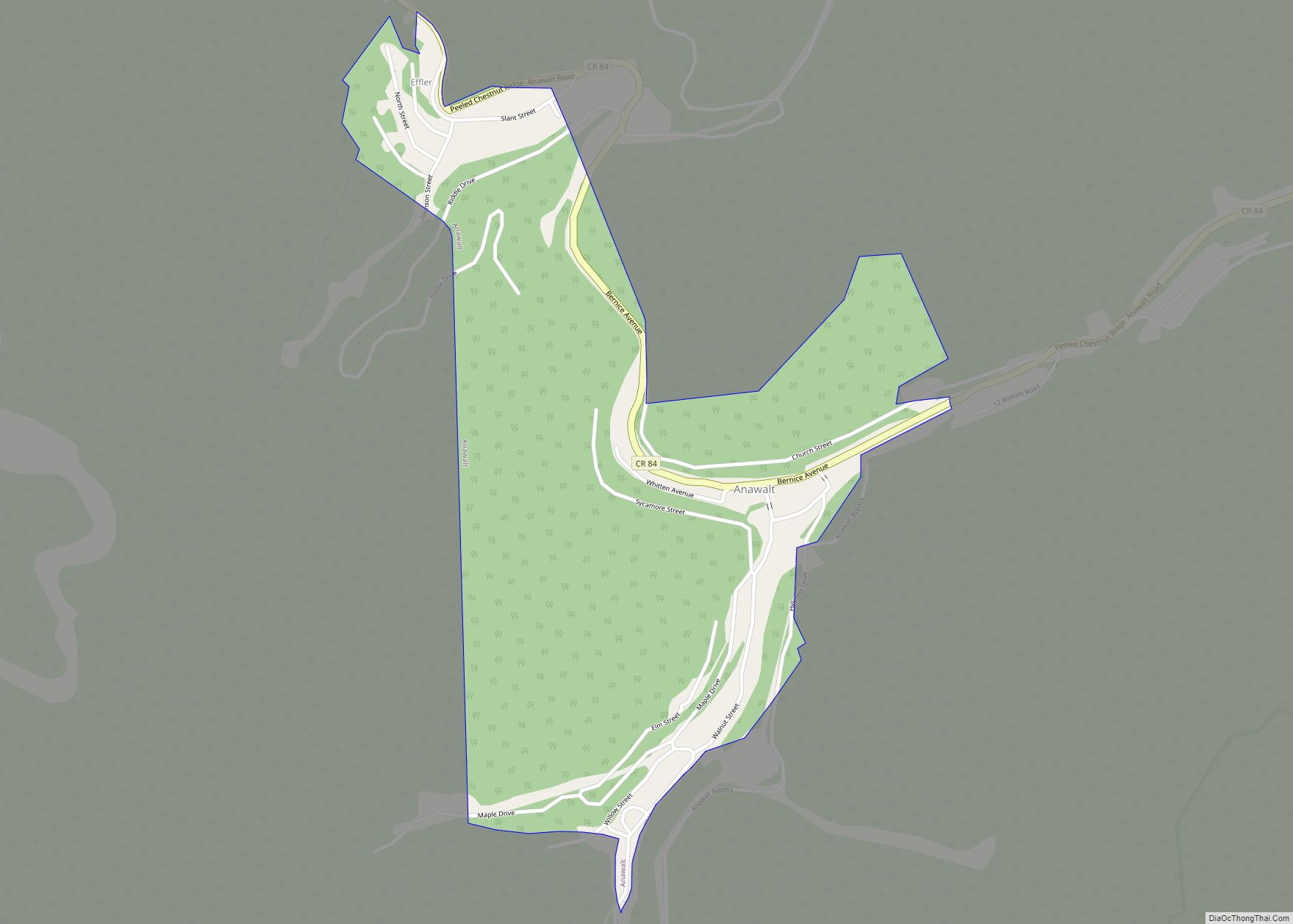
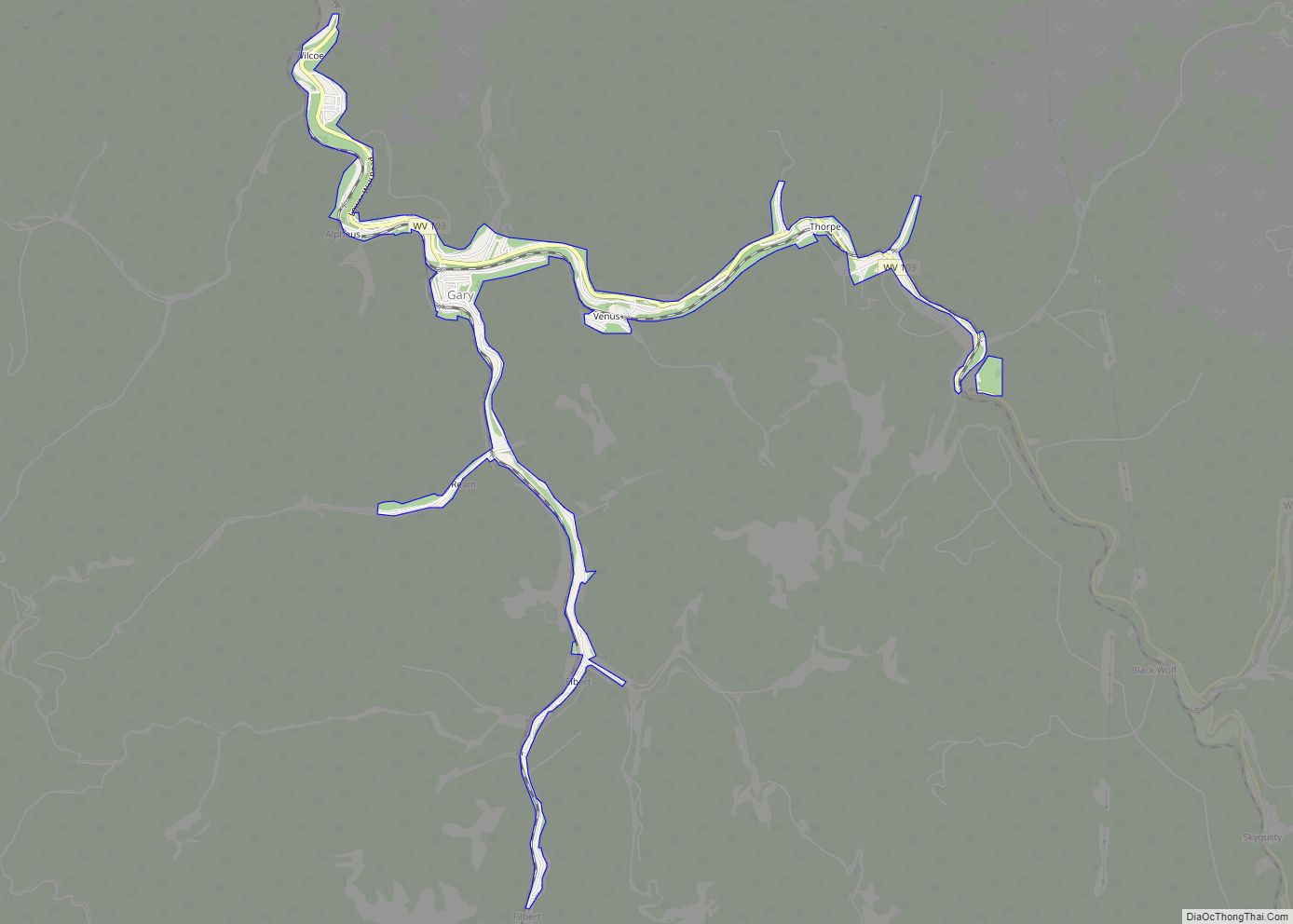
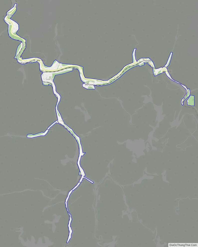
Gary Road Map
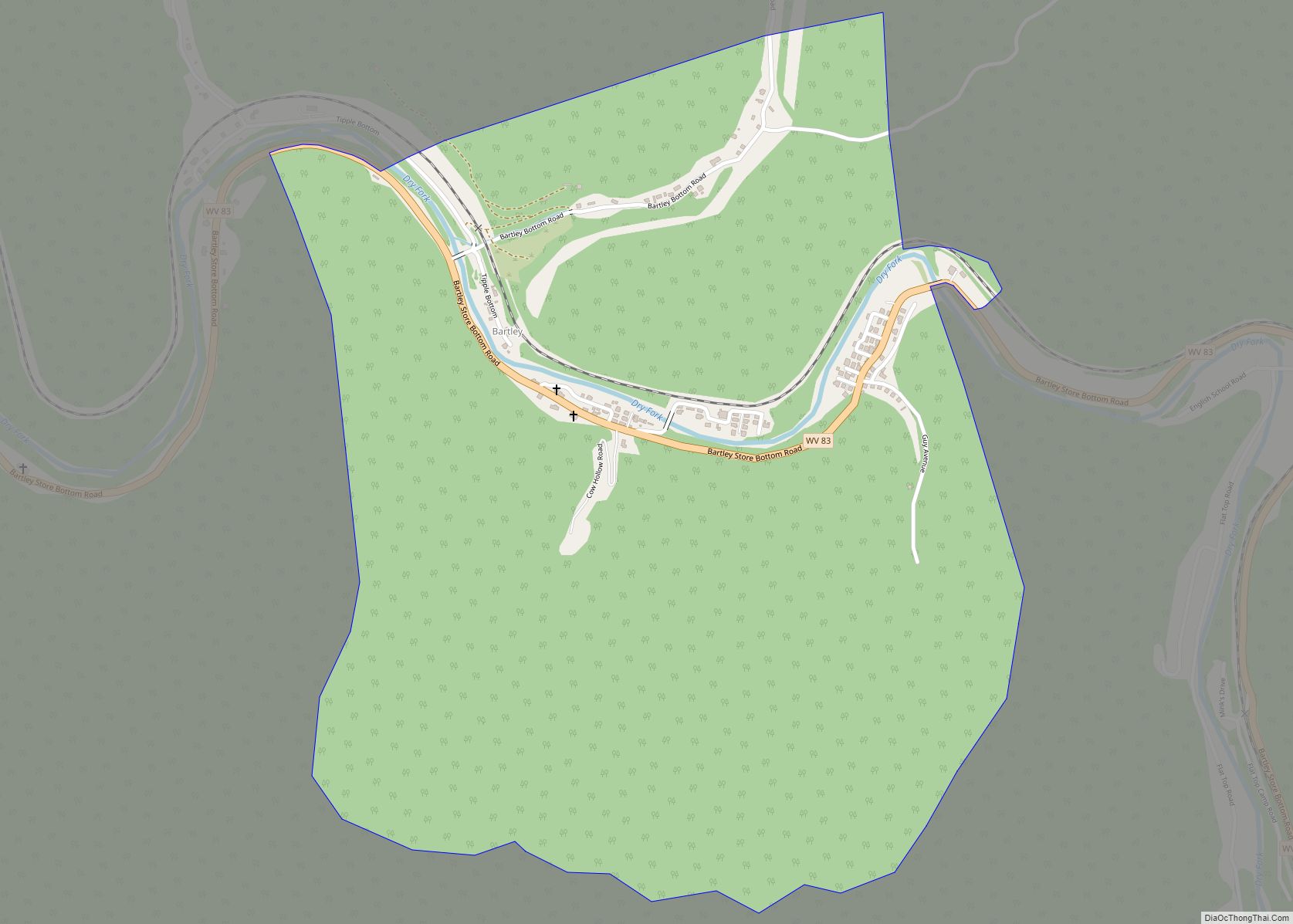
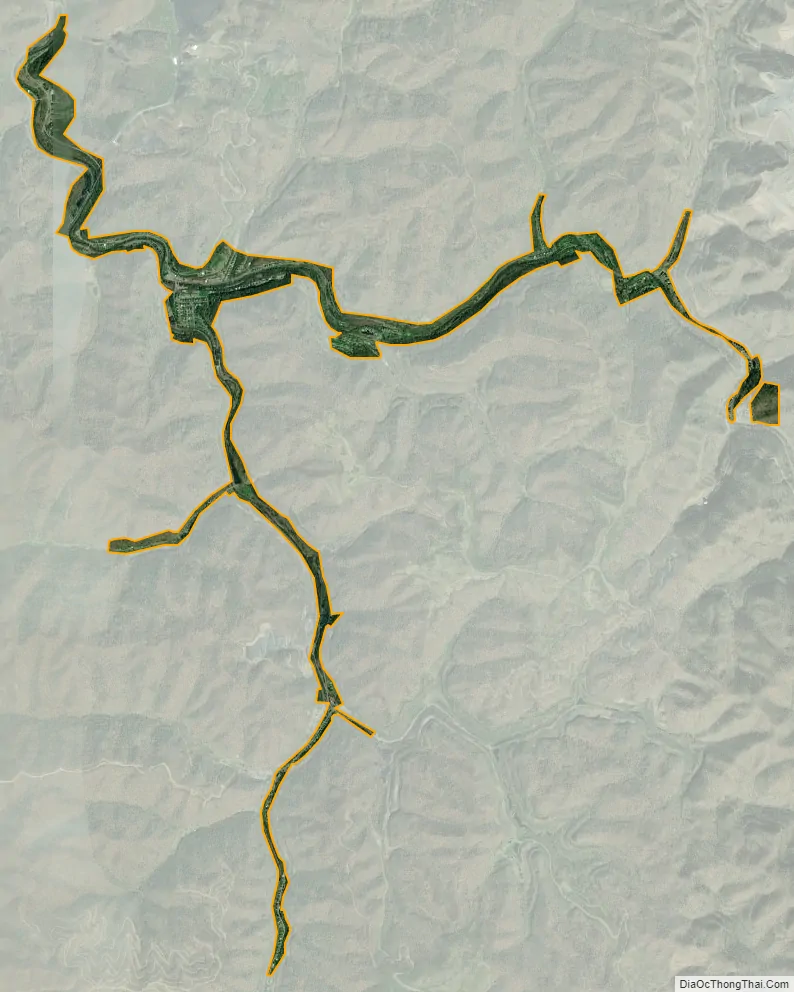
Gary city Satellite Map
Geography
According to the United States Census Bureau, Gary has a total area of 0.87 square miles (2.25 km), of which 0.84 square miles (2.18 km) is land and 0.03 square miles (0.08 km) is water. Gary has a railway station on the Norfolk Southern Railway (former Norfolk and Western) network.
Climate
See also
Map of West Virginia State and its subdivision:- Barbour
- Berkeley
- Boone
- Braxton
- Brooke
- Cabell
- Calhoun
- Clay
- Doddridge
- Fayette
- Gilmer
- Grant
- Greenbrier
- Hampshire
- Hancock
- Hardy
- Harrison
- Jackson
- Jefferson
- Kanawha
- Lewis
- Lincoln
- Logan
- Marion
- Marshall
- Mason
- McDowell
- Mercer
- Mineral
- Mingo
- Monongalia
- Monroe
- Morgan
- Nicholas
- Ohio
- Pendleton
- Pleasants
- Pocahontas
- Preston
- Putnam
- Raleigh
- Randolph
- Ritchie
- Roane
- Summers
- Taylor
- Tucker
- Tyler
- Upshur
- Wayne
- Webster
- Wetzel
- Wirt
- Wood
- Wyoming
- Alabama
- Alaska
- Arizona
- Arkansas
- California
- Colorado
- Connecticut
- Delaware
- District of Columbia
- Florida
- Georgia
- Hawaii
- Idaho
- Illinois
- Indiana
- Iowa
- Kansas
- Kentucky
- Louisiana
- Maine
- Maryland
- Massachusetts
- Michigan
- Minnesota
- Mississippi
- Missouri
- Montana
- Nebraska
- Nevada
- New Hampshire
- New Jersey
- New Mexico
- New York
- North Carolina
- North Dakota
- Ohio
- Oklahoma
- Oregon
- Pennsylvania
- Rhode Island
- South Carolina
- South Dakota
- Tennessee
- Texas
- Utah
- Vermont
- Virginia
- Washington
- West Virginia
- Wisconsin
- Wyoming