Grant Town is a town in Marion County, West Virginia, in the eastern United States. The population was 690 at the 2020 census.
The town was formed in 1901 with the opening of the Federal Coal and Coke Company bituminous coal mine, and was named for Robert Grant, vice president of the coal company. The “Federal No. 1” mine remained open for the next 84 years until its closure in 1985. At one point it was the largest underground coal mine in the world in terms of gross production, mining the Pittsburgh coal seam. The town was incorporated as a municipality in 1946.
Grant Town is the site of an 80 Megawatt electrical generation facility, located adjacent to the coal refuse areas above the town. The plant, which was built in the early 1990s is controlled by Edison International and generates electricity using a fluidized bed combustion boiler process burning waste coal.
The town is home to a local legend of a Bigfoot-type creature, sighted periodically by local residents since the early 1970s. The creature, known locally as the “Grant Town Goon”, is reported to live in the woods and coal waste areas to the southern and southwestern parts of the town. Grant Town is also the location of a number of the stories of the West Virginia ghost story anthology The Telltale Lilac Bush, by Fairmont State University professor Ruth Ann Musick. The town, the mine and surrounding farms are prominently featured in a number of the stories. Musick includes a description of the town, circa 1965, in an introduction to a section on mine ghost stories:
| Name: | Grant Town town |
|---|---|
| LSAD Code: | 43 |
| LSAD Description: | town (suffix) |
| State: | West Virginia |
| County: | Marion County |
| Elevation: | 988 ft (301 m) |
| Total Area: | 0.54 sq mi (1.40 km²) |
| Land Area: | 0.53 sq mi (1.37 km²) |
| Water Area: | 0.01 sq mi (0.04 km²) |
| Total Population: | 690 |
| Population Density: | 1,127.13/sq mi (435.14/km²) |
| ZIP code: | 26574 |
| Area code: | 304 |
| FIPS code: | 5432908 |
| GNISfeature ID: | 1554592 |
Online Interactive Map
Click on ![]() to view map in "full screen" mode.
to view map in "full screen" mode.
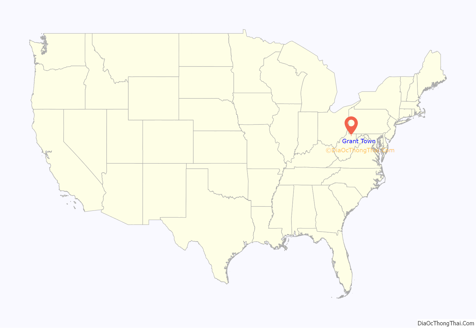
Grant Town location map. Where is Grant Town town?
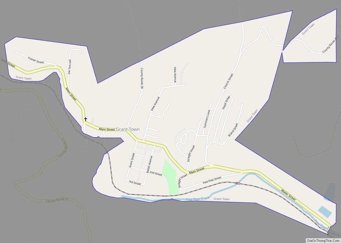
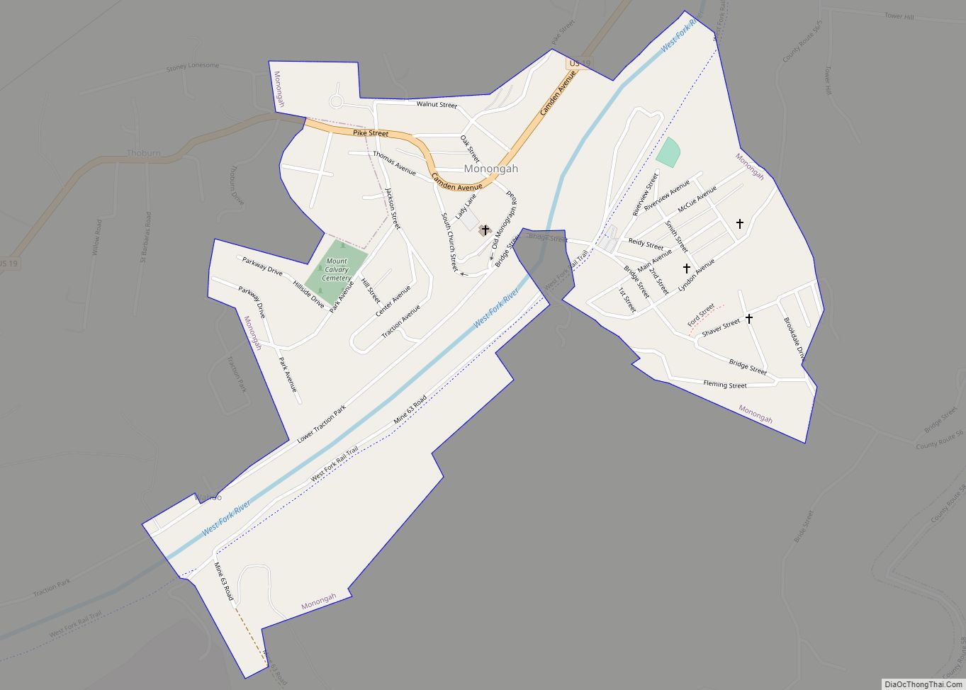
Grant Town Road Map
Grant Town city Satellite Map
Geography
Grant Town is located at 39°33′26″N 80°10′43″W / 39.55722°N 80.17861°W / 39.55722; -80.17861 (39.557358, -80.178485).
According to the United States Census Bureau, the town has a total area of 0.55 square miles (1.42 km), of which 0.53 square miles (1.37 km) is land and 0.02 square miles (0.05 km) is water.
See also
Map of West Virginia State and its subdivision:- Barbour
- Berkeley
- Boone
- Braxton
- Brooke
- Cabell
- Calhoun
- Clay
- Doddridge
- Fayette
- Gilmer
- Grant
- Greenbrier
- Hampshire
- Hancock
- Hardy
- Harrison
- Jackson
- Jefferson
- Kanawha
- Lewis
- Lincoln
- Logan
- Marion
- Marshall
- Mason
- McDowell
- Mercer
- Mineral
- Mingo
- Monongalia
- Monroe
- Morgan
- Nicholas
- Ohio
- Pendleton
- Pleasants
- Pocahontas
- Preston
- Putnam
- Raleigh
- Randolph
- Ritchie
- Roane
- Summers
- Taylor
- Tucker
- Tyler
- Upshur
- Wayne
- Webster
- Wetzel
- Wirt
- Wood
- Wyoming
- Alabama
- Alaska
- Arizona
- Arkansas
- California
- Colorado
- Connecticut
- Delaware
- District of Columbia
- Florida
- Georgia
- Hawaii
- Idaho
- Illinois
- Indiana
- Iowa
- Kansas
- Kentucky
- Louisiana
- Maine
- Maryland
- Massachusetts
- Michigan
- Minnesota
- Mississippi
- Missouri
- Montana
- Nebraska
- Nevada
- New Hampshire
- New Jersey
- New Mexico
- New York
- North Carolina
- North Dakota
- Ohio
- Oklahoma
- Oregon
- Pennsylvania
- Rhode Island
- South Carolina
- South Dakota
- Tennessee
- Texas
- Utah
- Vermont
- Virginia
- Washington
- West Virginia
- Wisconsin
- Wyoming
