Granville is a town in Monongalia County, West Virginia, United States. The population was 1,355 at the 2020 census. It is included in the Morgantown metropolitan area.
| Name: | Granville town |
|---|---|
| LSAD Code: | 43 |
| LSAD Description: | town (suffix) |
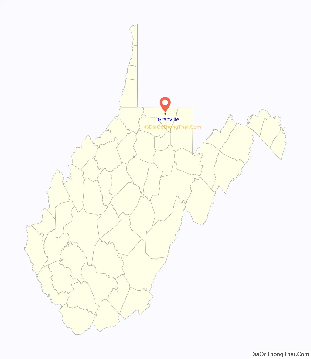
| State: | West Virginia |
| County: | Monongalia County |
| Elevation: | 814 ft (248 m) |
| Total Area: | 1.30 sq mi (3.36 km²) |
| Land Area: | 1.30 sq mi (3.36 km²) |
| Water Area: | 0.00 sq mi (0.00 km²) |
| Total Population: | 1,355 |
| Population Density: | 2,420.97/sq mi (934.55/km²) |
| ZIP code: | 26534 |
| Area code: | 304 |
| FIPS code: | 5432932 |
| GNISfeature ID: | 1539594 |
Online Interactive Map
Click on ![]() to view map in "full screen" mode.
to view map in "full screen" mode.
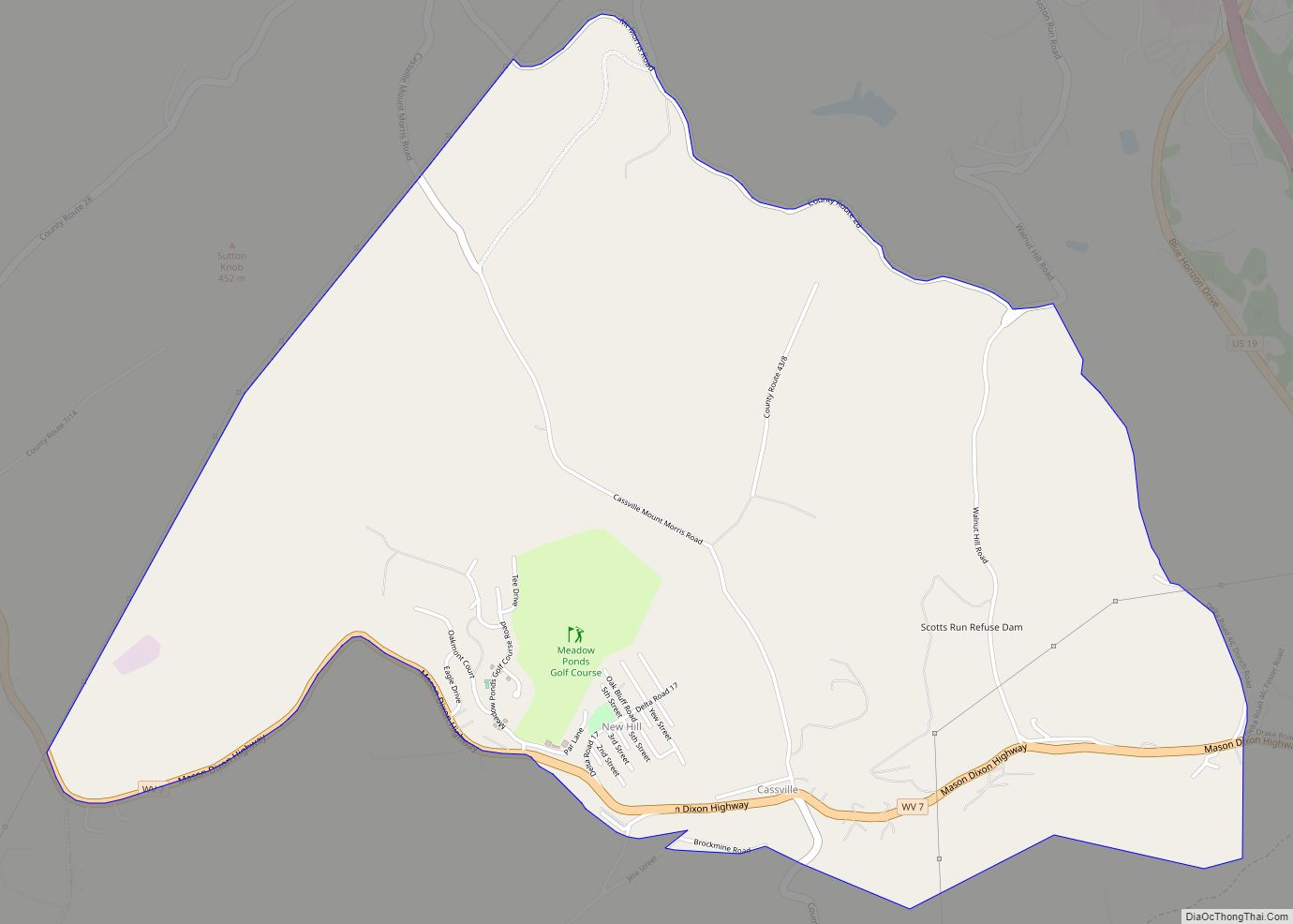
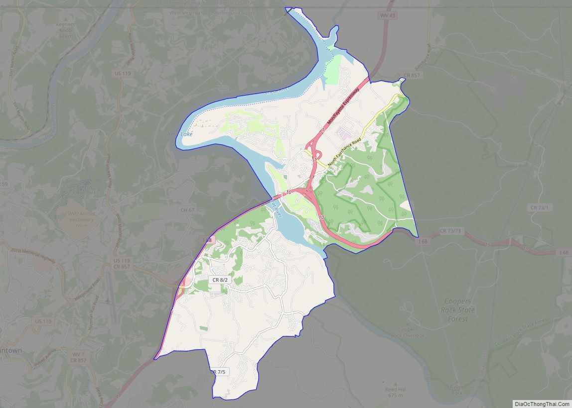
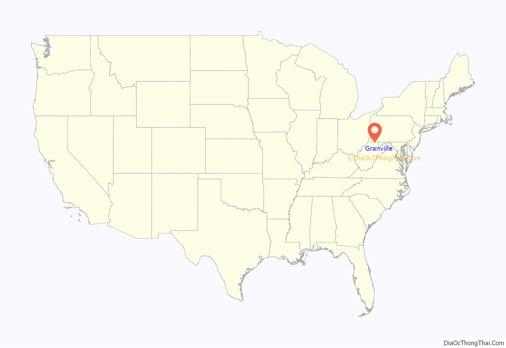
Granville location map. Where is Granville town?
History
Granville was originally called Grandville, after a nearby river island.
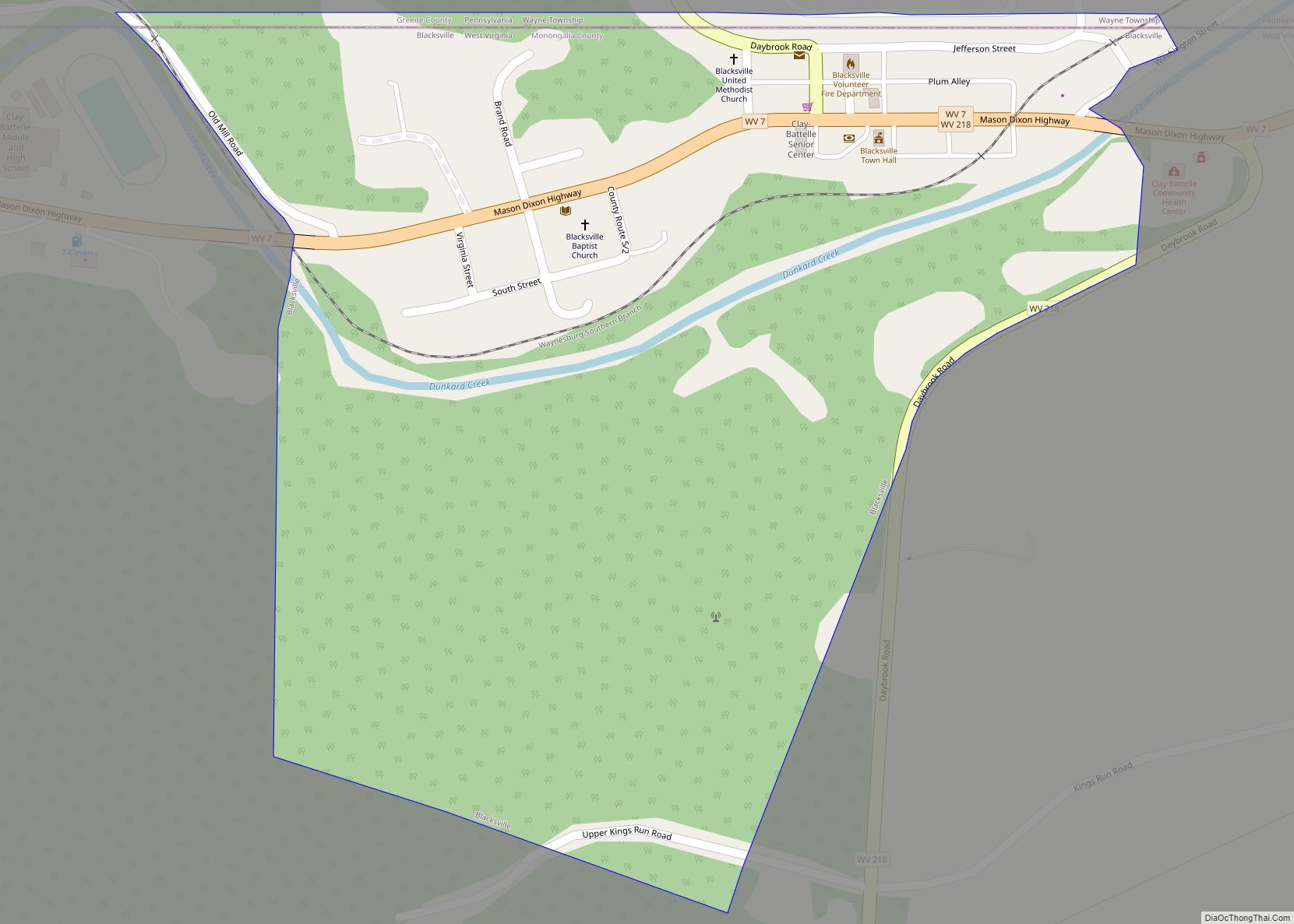
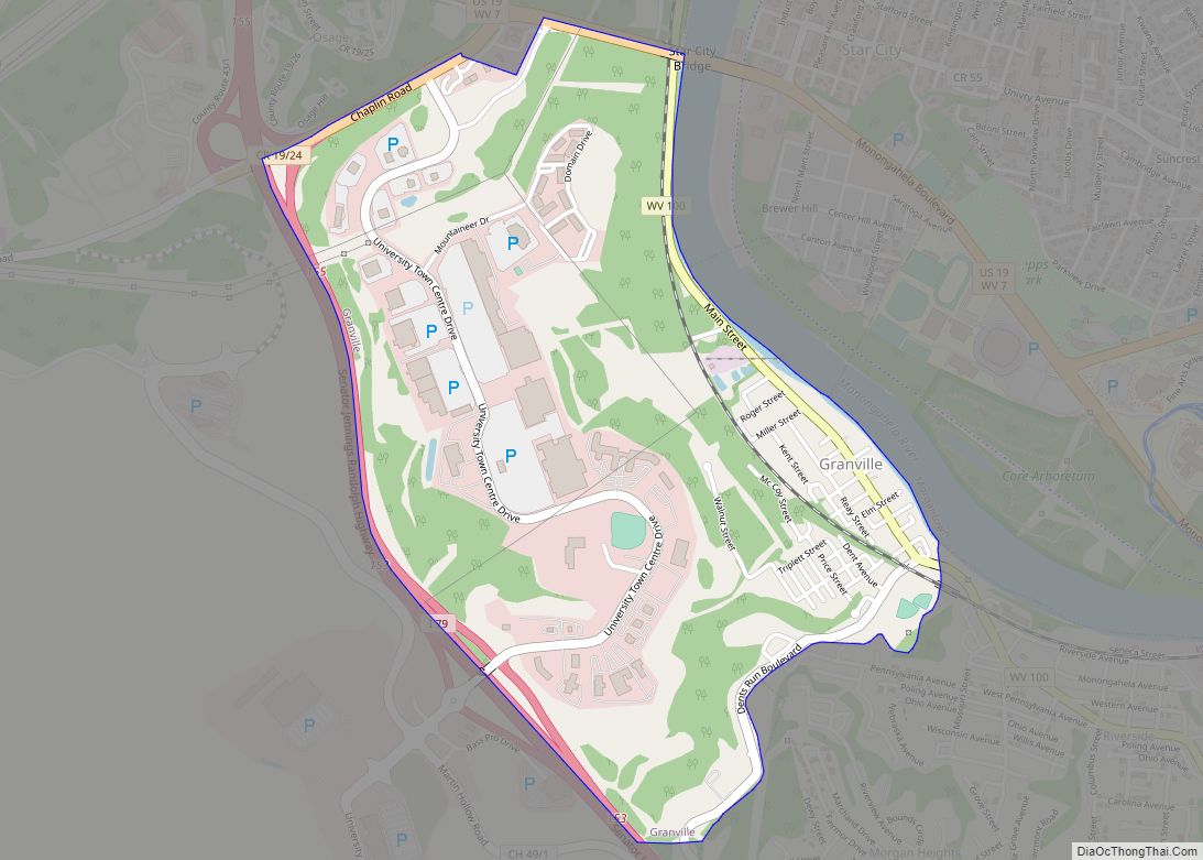
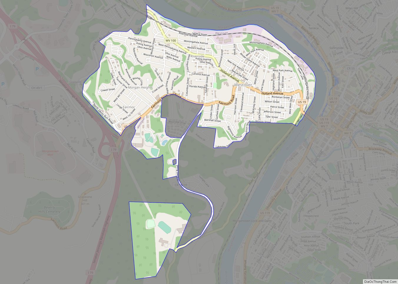
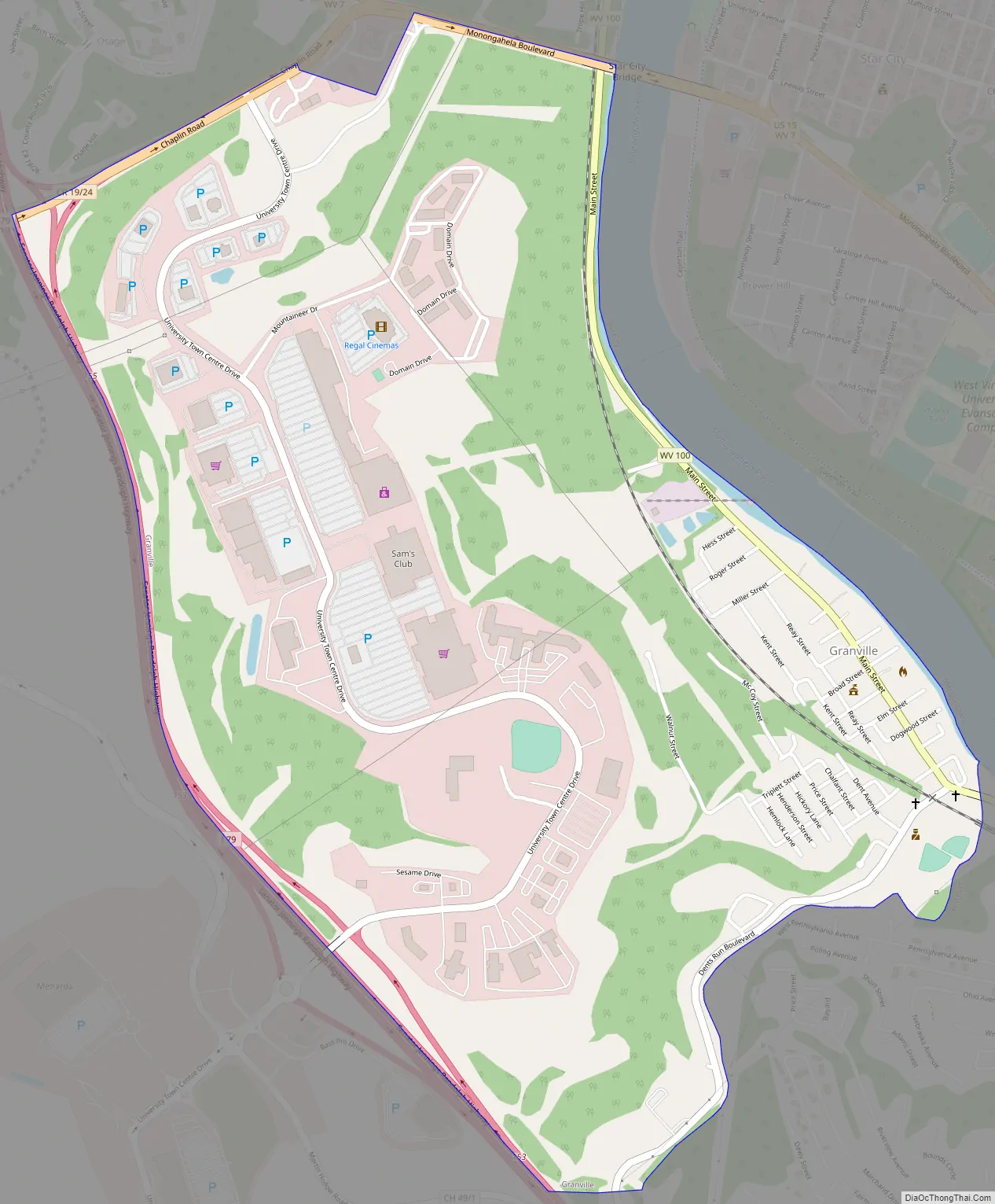
Granville Road Map
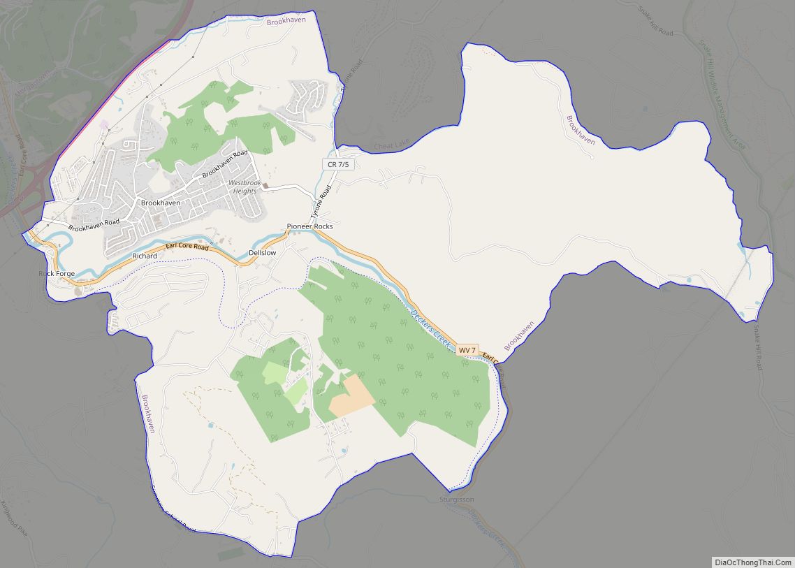
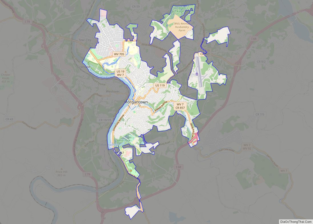
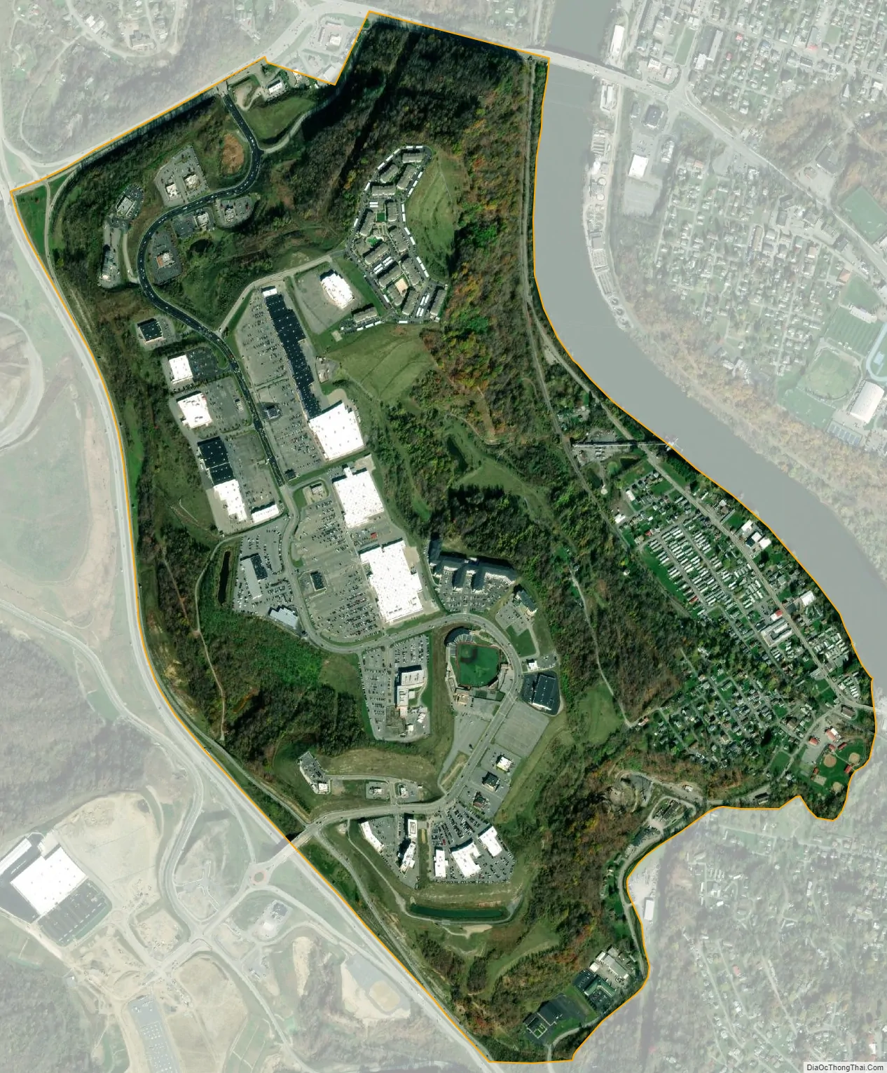
Granville city Satellite Map
Geography
Granville is located at 39°38′36″N 79°59′17″W / 39.64333°N 79.98806°W / 39.64333; -79.98806 (39.643426, -79.988054).
According to the United States Census Bureau, the town has a total area of 1.30 square miles (3.37 km), all land.
See also
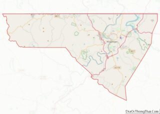
Map of West Virginia State and its subdivision:- Barbour
- Berkeley
- Boone
- Braxton
- Brooke
- Cabell
- Calhoun
- Clay
- Doddridge
- Fayette
- Gilmer
- Grant
- Greenbrier
- Hampshire
- Hancock
- Hardy
- Harrison
- Jackson
- Jefferson
- Kanawha
- Lewis
- Lincoln
- Logan
- Marion
- Marshall
- Mason
- McDowell
- Mercer
- Mineral
- Mingo
- Monongalia
- Monroe
- Morgan
- Nicholas
- Ohio
- Pendleton
- Pleasants
- Pocahontas
- Preston
- Putnam
- Raleigh
- Randolph
- Ritchie
- Roane
- Summers
- Taylor
- Tucker
- Tyler
- Upshur
- Wayne
- Webster
- Wetzel
- Wirt
- Wood
- Wyoming
- Alabama
- Alaska
- Arizona
- Arkansas
- California
- Colorado
- Connecticut
- Delaware
- District of Columbia
- Florida
- Georgia
- Hawaii
- Idaho
- Illinois
- Indiana
- Iowa
- Kansas
- Kentucky
- Louisiana
- Maine
- Maryland
- Massachusetts
- Michigan
- Minnesota
- Mississippi
- Missouri
- Montana
- Nebraska
- Nevada
- New Hampshire
- New Jersey
- New Mexico
- New York
- North Carolina
- North Dakota
- Ohio
- Oklahoma
- Oregon
- Pennsylvania
- Rhode Island
- South Carolina
- South Dakota
- Tennessee
- Texas
- Utah
- Vermont
- Virginia
- Washington
- West Virginia
- Wisconsin
- Wyoming