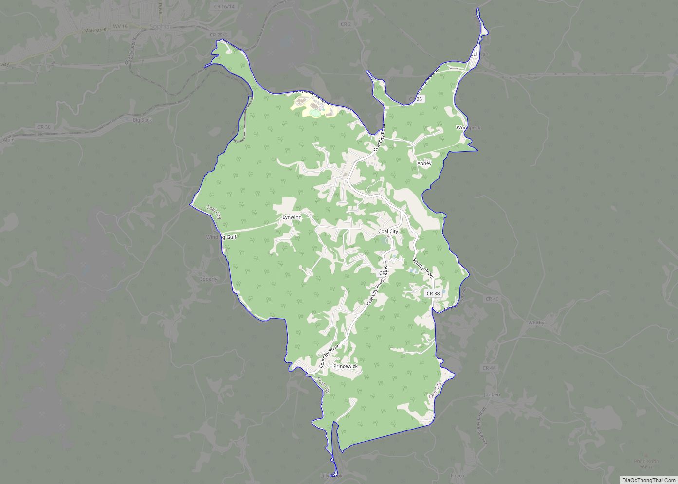
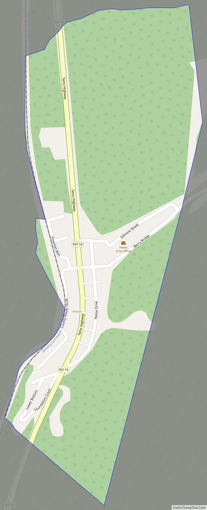
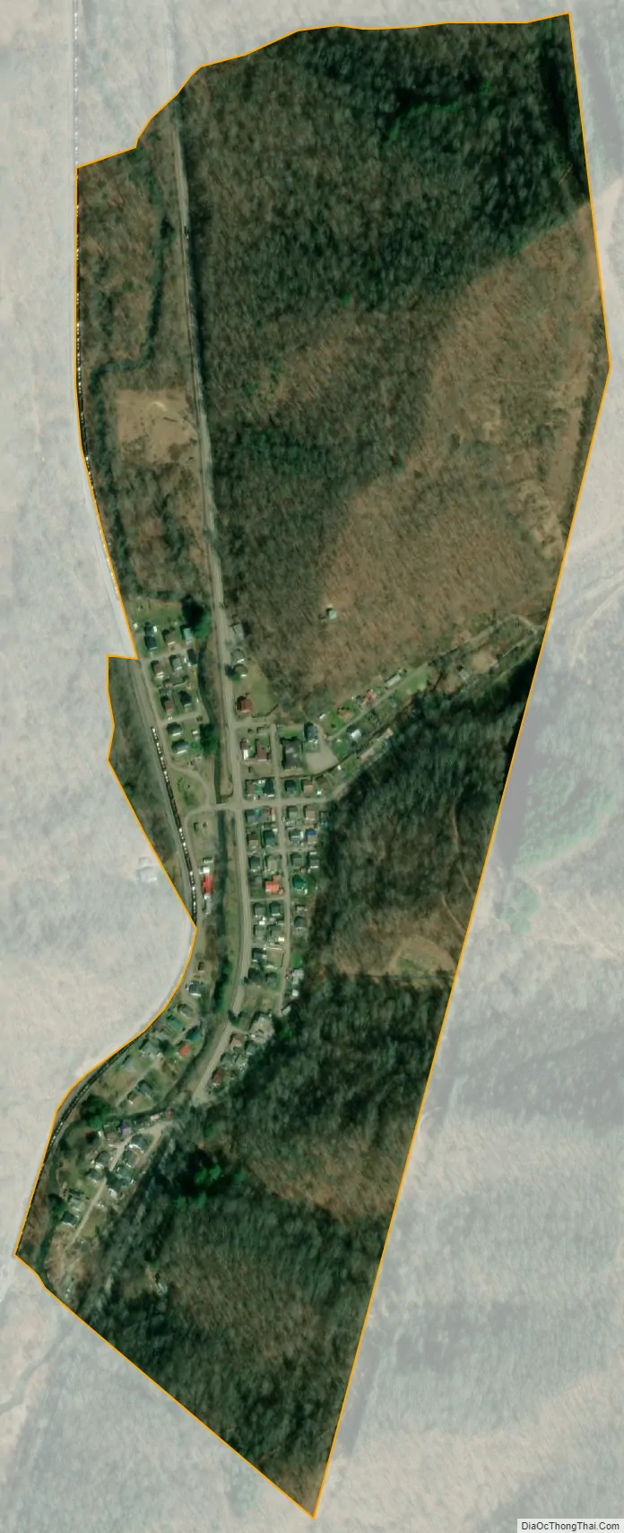
Helen is a census-designated place (CDP) in Raleigh County, West Virginia, United States. As of the 2010 census, its population was 219. West Virginia Route 16, Winding Gulf and railroad tracks run right through the community.
The Helen mine and coal camp was opened in the 1910s by the East Gulf Coal Company. Many years later, the mine was operated by the Koppers Coal company, which then became the Eastern Gas & Fuel – Coal Division, and even later Eastern Associated Coal Company. Eastern Associated operated the Helen mine into the 1980s.
Today, Helen remains a small, unincorporated area in southern West Virginia. There is a Baptist church there.
| Name: | Helen CDP |
|---|---|
| LSAD Code: | 57 |
| LSAD Description: | CDP (suffix) |
| State: | West Virginia |
| County: | Raleigh County |
| Elevation: | 1,631 ft (497 m) |
| Total Area: | 0.238 sq mi (0.62 km²) |
| Land Area: | 0.238 sq mi (0.62 km²) |
| Water Area: | 0 sq mi (0 km²) |
| Total Population: | 219 |
| Population Density: | 920/sq mi (360/km²) |
| ZIP code: | 25853 |
| FIPS code: | 5436292 |
| GNISfeature ID: | 1554679 |
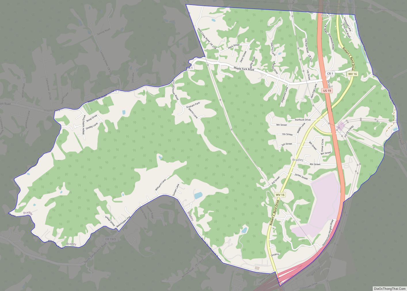
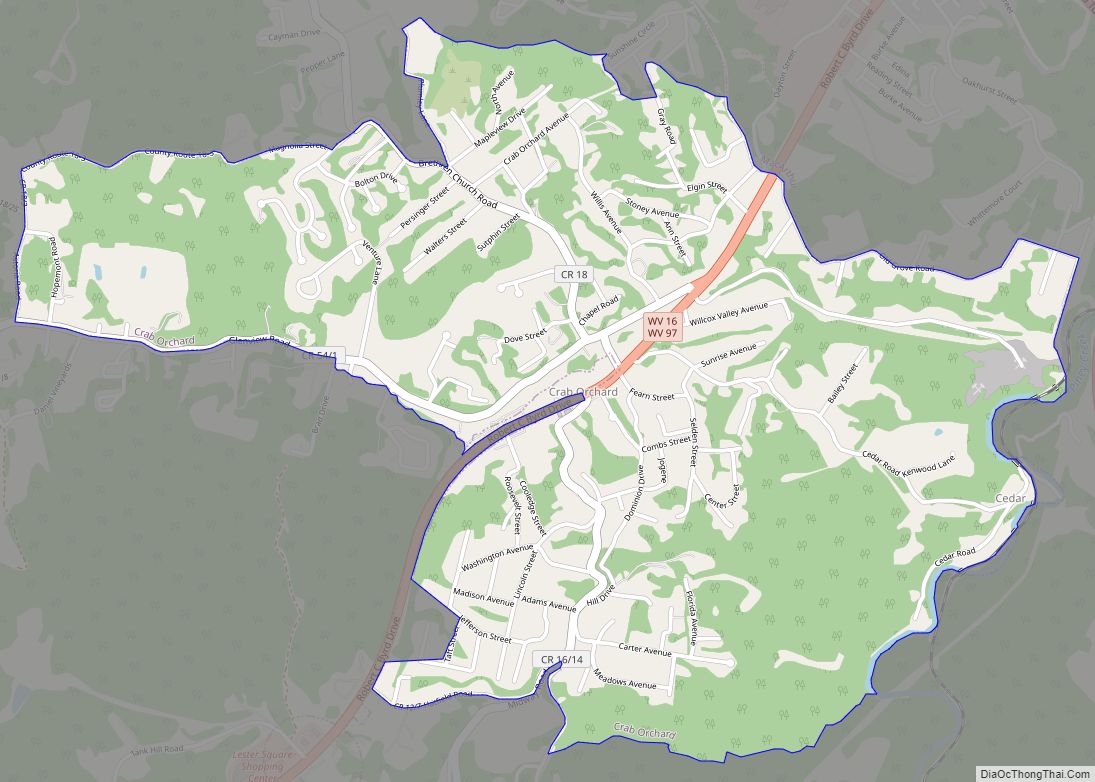
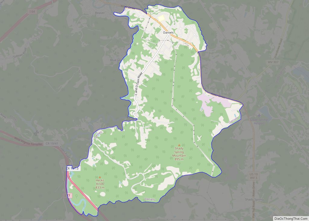
Online Interactive Map
Click on ![]() to view map in "full screen" mode.
to view map in "full screen" mode.
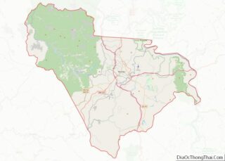
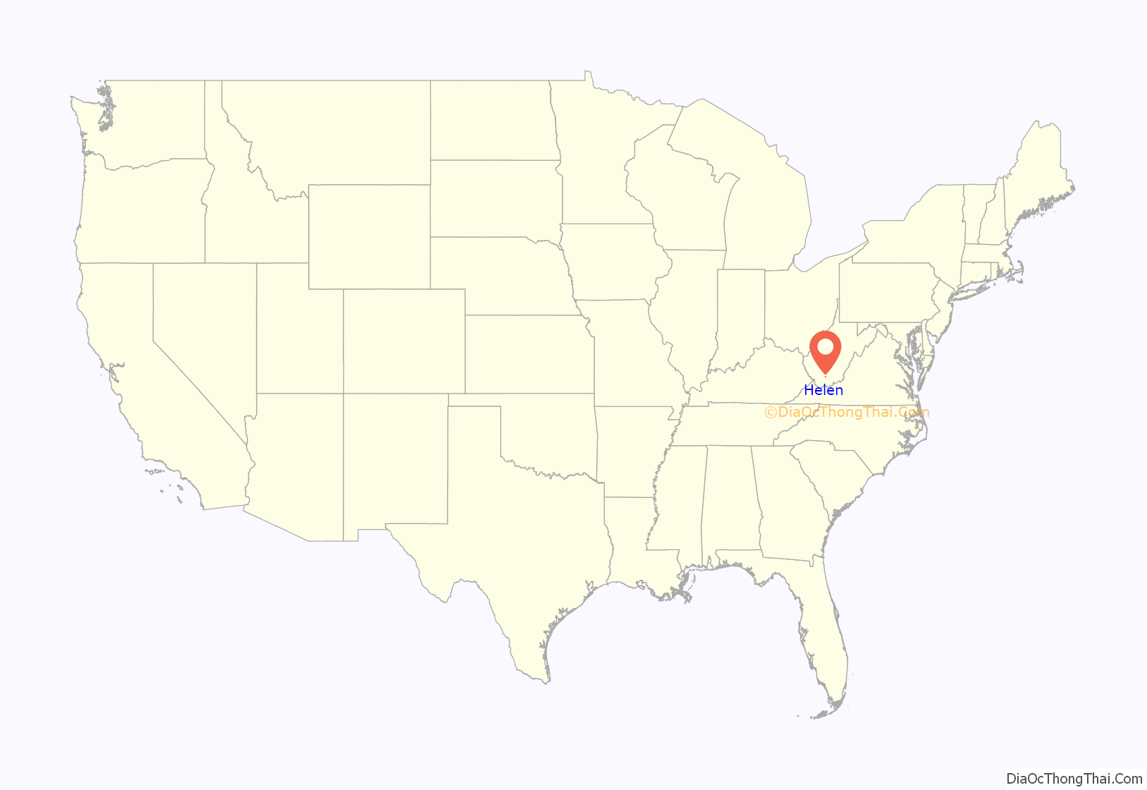
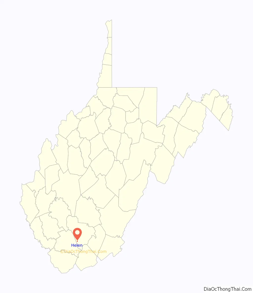
Helen location map. Where is Helen CDP?
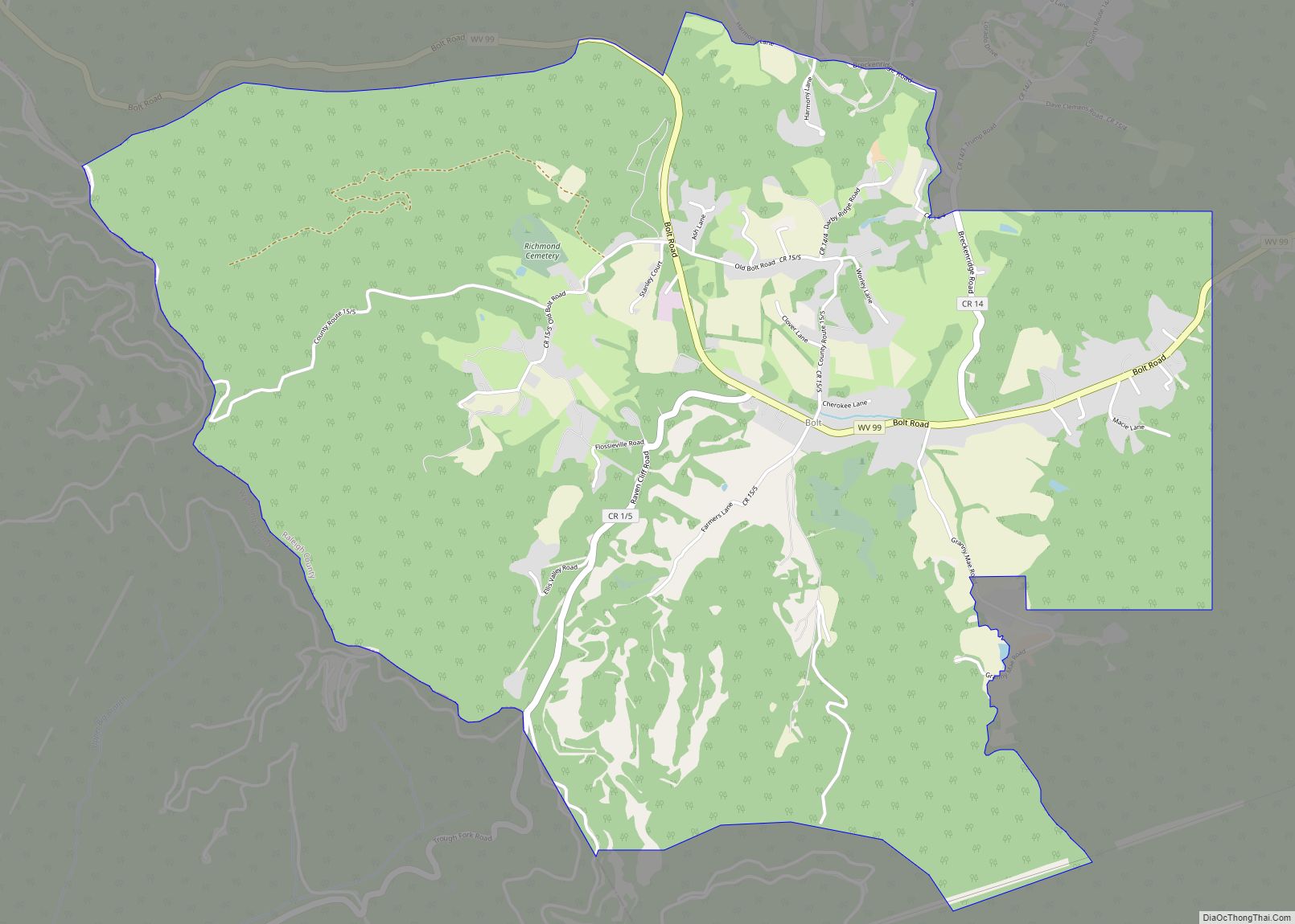
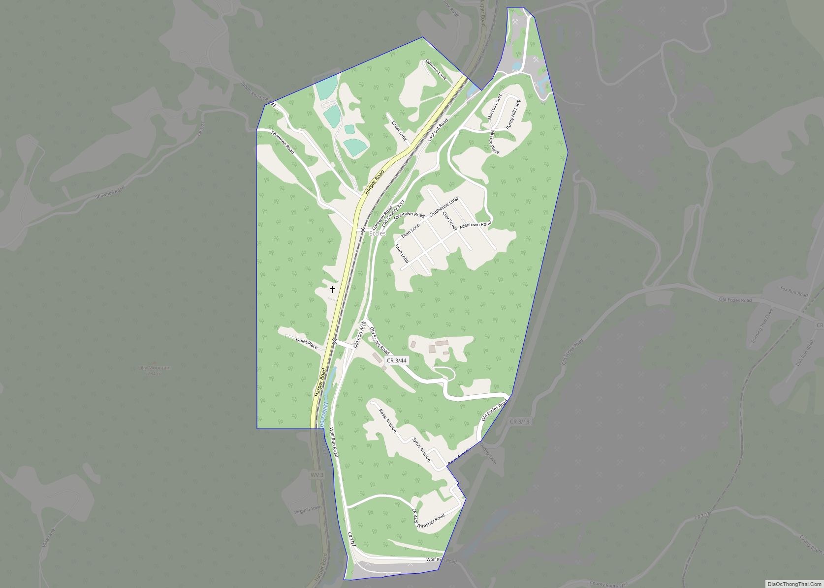
Helen Road Map
Helen city Satellite Map
See also
Map of West Virginia State and its subdivision:- Barbour
- Berkeley
- Boone
- Braxton
- Brooke
- Cabell
- Calhoun
- Clay
- Doddridge
- Fayette
- Gilmer
- Grant
- Greenbrier
- Hampshire
- Hancock
- Hardy
- Harrison
- Jackson
- Jefferson
- Kanawha
- Lewis
- Lincoln
- Logan
- Marion
- Marshall
- Mason
- McDowell
- Mercer
- Mineral
- Mingo
- Monongalia
- Monroe
- Morgan
- Nicholas
- Ohio
- Pendleton
- Pleasants
- Pocahontas
- Preston
- Putnam
- Raleigh
- Randolph
- Ritchie
- Roane
- Summers
- Taylor
- Tucker
- Tyler
- Upshur
- Wayne
- Webster
- Wetzel
- Wirt
- Wood
- Wyoming
- Alabama
- Alaska
- Arizona
- Arkansas
- California
- Colorado
- Connecticut
- Delaware
- District of Columbia
- Florida
- Georgia
- Hawaii
- Idaho
- Illinois
- Indiana
- Iowa
- Kansas
- Kentucky
- Louisiana
- Maine
- Maryland
- Massachusetts
- Michigan
- Minnesota
- Mississippi
- Missouri
- Montana
- Nebraska
- Nevada
- New Hampshire
- New Jersey
- New Mexico
- New York
- North Carolina
- North Dakota
- Ohio
- Oklahoma
- Oregon
- Pennsylvania
- Rhode Island
- South Carolina
- South Dakota
- Tennessee
- Texas
- Utah
- Vermont
- Virginia
- Washington
- West Virginia
- Wisconsin
- Wyoming