Hillsboro is a town in Pocahontas County, West Virginia, United States. The population was 232 at the 2020 census.
| Name: | Hillsboro town |
|---|---|
| LSAD Code: | 43 |
| LSAD Description: | town (suffix) |
| State: | West Virginia |
| County: | Pocahontas County |
| Elevation: | 2,303 ft (702 m) |
| Total Area: | 0.53 sq mi (1.38 km²) |
| Land Area: | 0.53 sq mi (1.38 km²) |
| Water Area: | 0.00 sq mi (0.00 km²) |
| Total Population: | 232 |
| Population Density: | 446.53/sq mi (172.47/km²) |
| ZIP code: | 24946 |
| Area code: | 304 |
| FIPS code: | 5437372 |
| GNISfeature ID: | 1551448 |
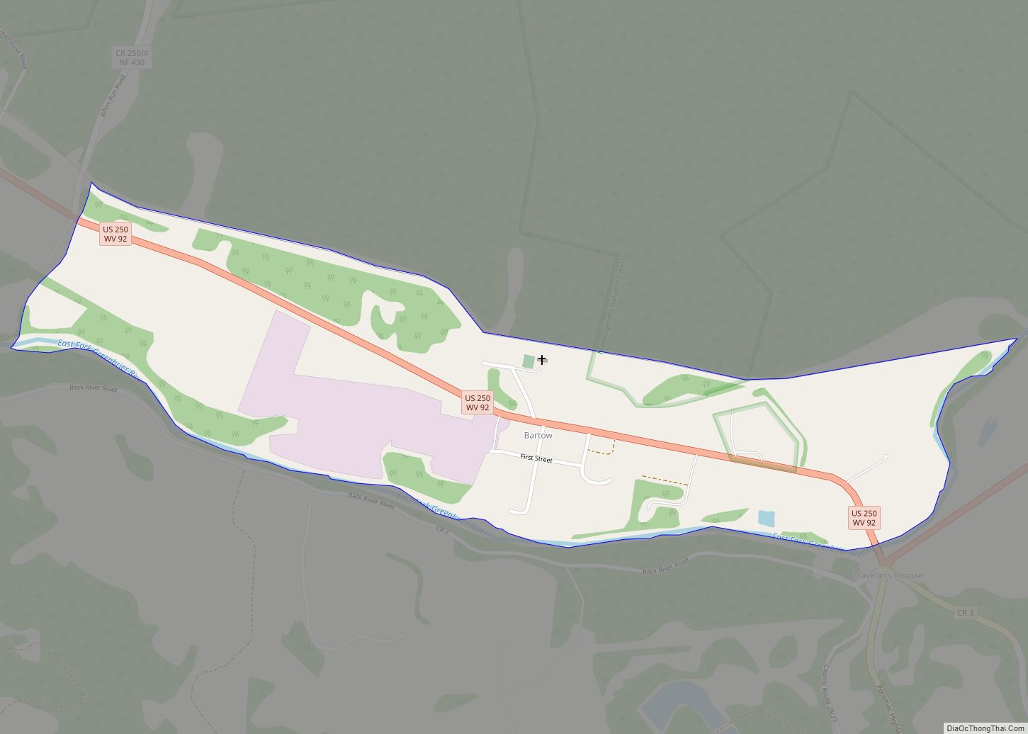
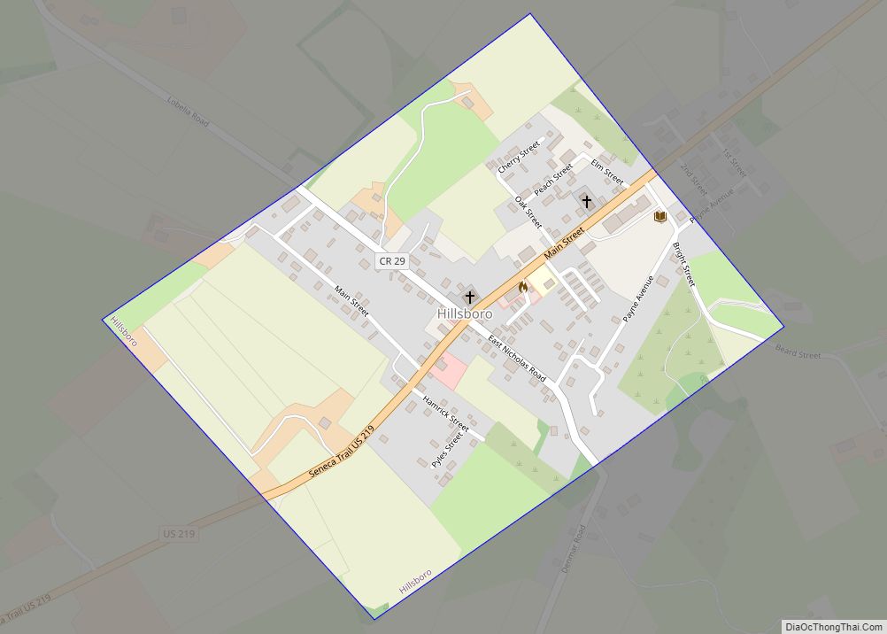
Online Interactive Map
Click on ![]() to view map in "full screen" mode.
to view map in "full screen" mode.
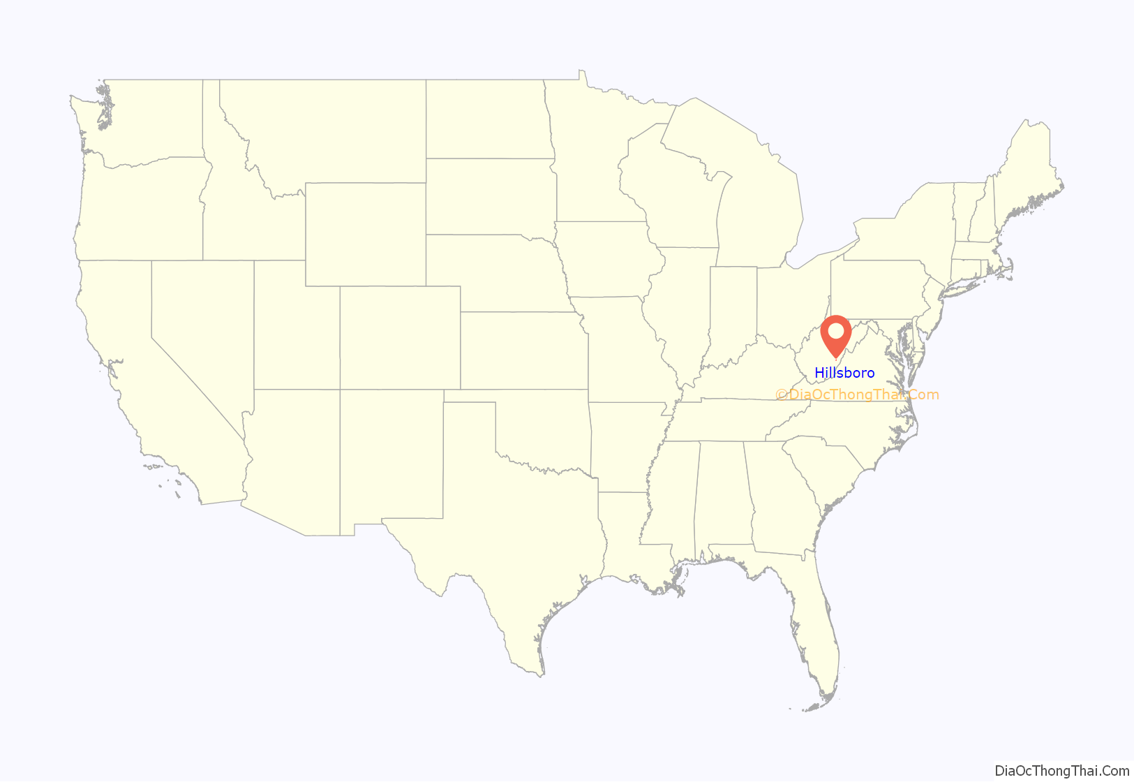
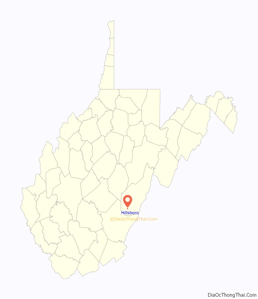
Hillsboro location map. Where is Hillsboro town?
History
Hillsboro was named for pioneer John (Richard) Hill, from North Carolina, who built a log cabin near what is now Lobelia. Most of the early settlers were Scots-Irish and worked in agriculture and stock raising.
In the 1800s the town of Hillsboro centered on the educational institution Little Levels Academy. Established in 1842, the school closed 18 years later at the onset of the Civil War. In 1865, the county purchased the building and ran it as a public school through the 1880s, and it became a school of higher order for boys called Hillsboro Academy. The basement of the Methodist Church served as a school of high order for girls called Hillsboro College, or Little Levels Seminary. Eventually the brick Academy was torn down and replaced by a wood-frame school for both boys and girls. Later the school was re-built in brick as Hillsboro High School.
Millpoint, in northern Hillsboro, was once the site of a small industrial village, “including within its limits proper a store, a blacksmith shop, two flour mills, and three homes.” One of the mills has been restored and can be seen along Rt. 219.
In 1892, famous author Pearl S. Buck was born in a large white two-story house at the northern end of town. Shortly thereafter, her family, Presbyterian missionaries, returned to China, but her West Virginia roots nevertheless had a significant impact on Pearl through her mother Carrie.
The Dutch-style “city house,” now on the National Register of Historic Places, has been restored into a museum, The Pearl S. Buck Birthplace. It displays an array of antiques from the 1892 period, including many family originals. Also on the National Register of Historic Places are the Richard Beard House and Locust Creek Covered Bridge.
In late June, the town hosts the annual Little Levels Heritage Fair to celebrate the history of the Little Levels region.
Hillsboro is also featured in the movie Patch Adams, where Dr. Patch Adams purchased land to build a medical clinic based on his philosophy of doctor-patient interaction. A medical clinic is planned but has not yet been constructed, as fund-raising is still underway. Currently, the Gesundheit Institute host people at the facility to engage in learning and volunteering.
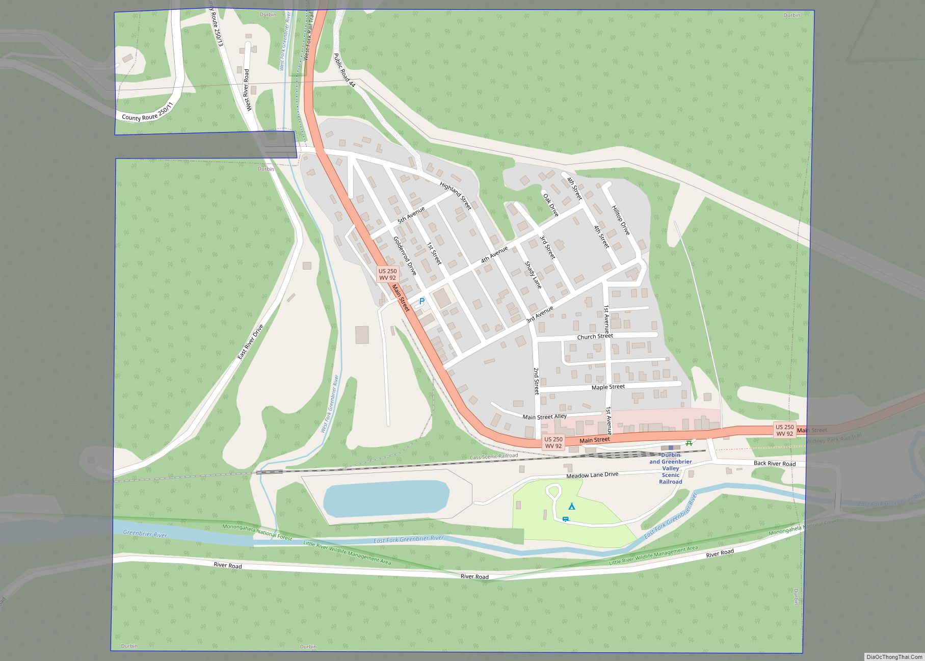
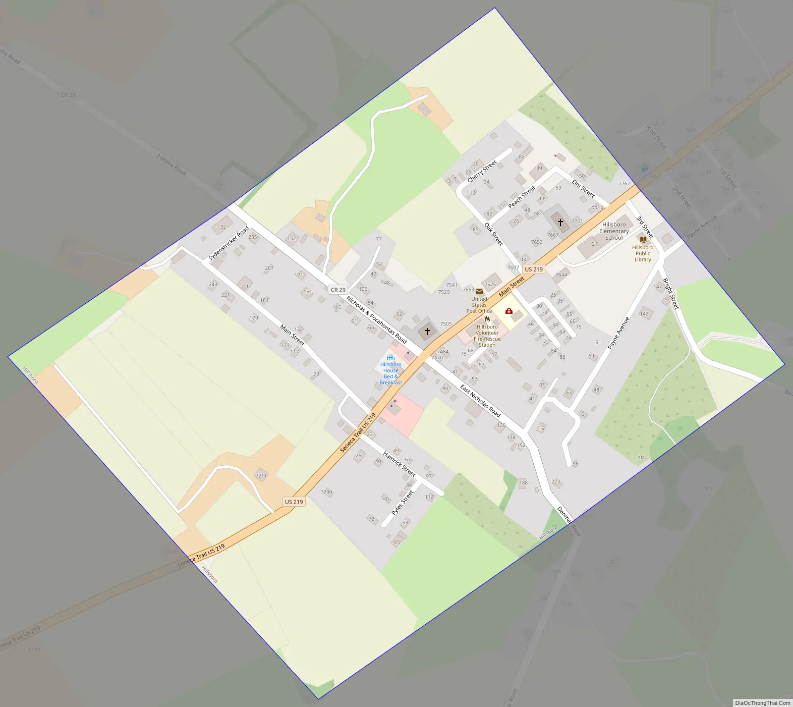
Hillsboro Road Map
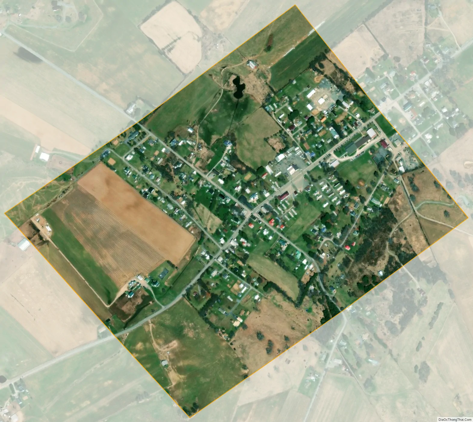
Hillsboro city Satellite Map
Geography
Hillsboro is located at 38°8′17″N 80°12′45″W / 38.13806°N 80.21250°W / 38.13806; -80.21250 (38.138068, -80.212581).
According to the United States Census Bureau, the town has a total area of 0.36 square miles (0.93 km), all land.
See also
Map of West Virginia State and its subdivision:- Barbour
- Berkeley
- Boone
- Braxton
- Brooke
- Cabell
- Calhoun
- Clay
- Doddridge
- Fayette
- Gilmer
- Grant
- Greenbrier
- Hampshire
- Hancock
- Hardy
- Harrison
- Jackson
- Jefferson
- Kanawha
- Lewis
- Lincoln
- Logan
- Marion
- Marshall
- Mason
- McDowell
- Mercer
- Mineral
- Mingo
- Monongalia
- Monroe
- Morgan
- Nicholas
- Ohio
- Pendleton
- Pleasants
- Pocahontas
- Preston
- Putnam
- Raleigh
- Randolph
- Ritchie
- Roane
- Summers
- Taylor
- Tucker
- Tyler
- Upshur
- Wayne
- Webster
- Wetzel
- Wirt
- Wood
- Wyoming
- Alabama
- Alaska
- Arizona
- Arkansas
- California
- Colorado
- Connecticut
- Delaware
- District of Columbia
- Florida
- Georgia
- Hawaii
- Idaho
- Illinois
- Indiana
- Iowa
- Kansas
- Kentucky
- Louisiana
- Maine
- Maryland
- Massachusetts
- Michigan
- Minnesota
- Mississippi
- Missouri
- Montana
- Nebraska
- Nevada
- New Hampshire
- New Jersey
- New Mexico
- New York
- North Carolina
- North Dakota
- Ohio
- Oklahoma
- Oregon
- Pennsylvania
- Rhode Island
- South Carolina
- South Dakota
- Tennessee
- Texas
- Utah
- Vermont
- Virginia
- Washington
- West Virginia
- Wisconsin
- Wyoming