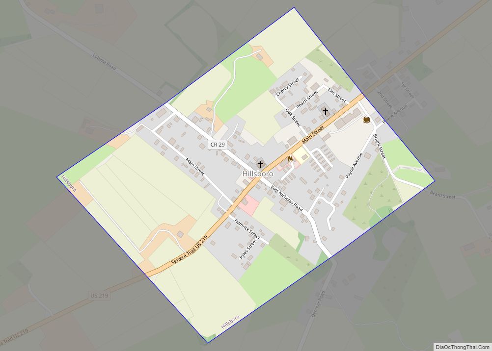
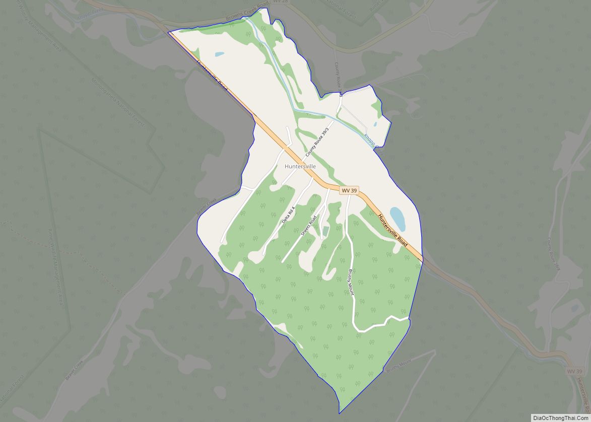
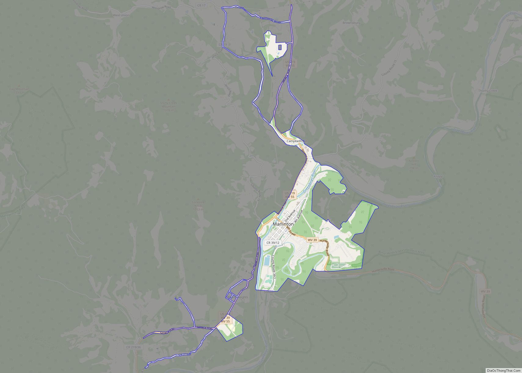
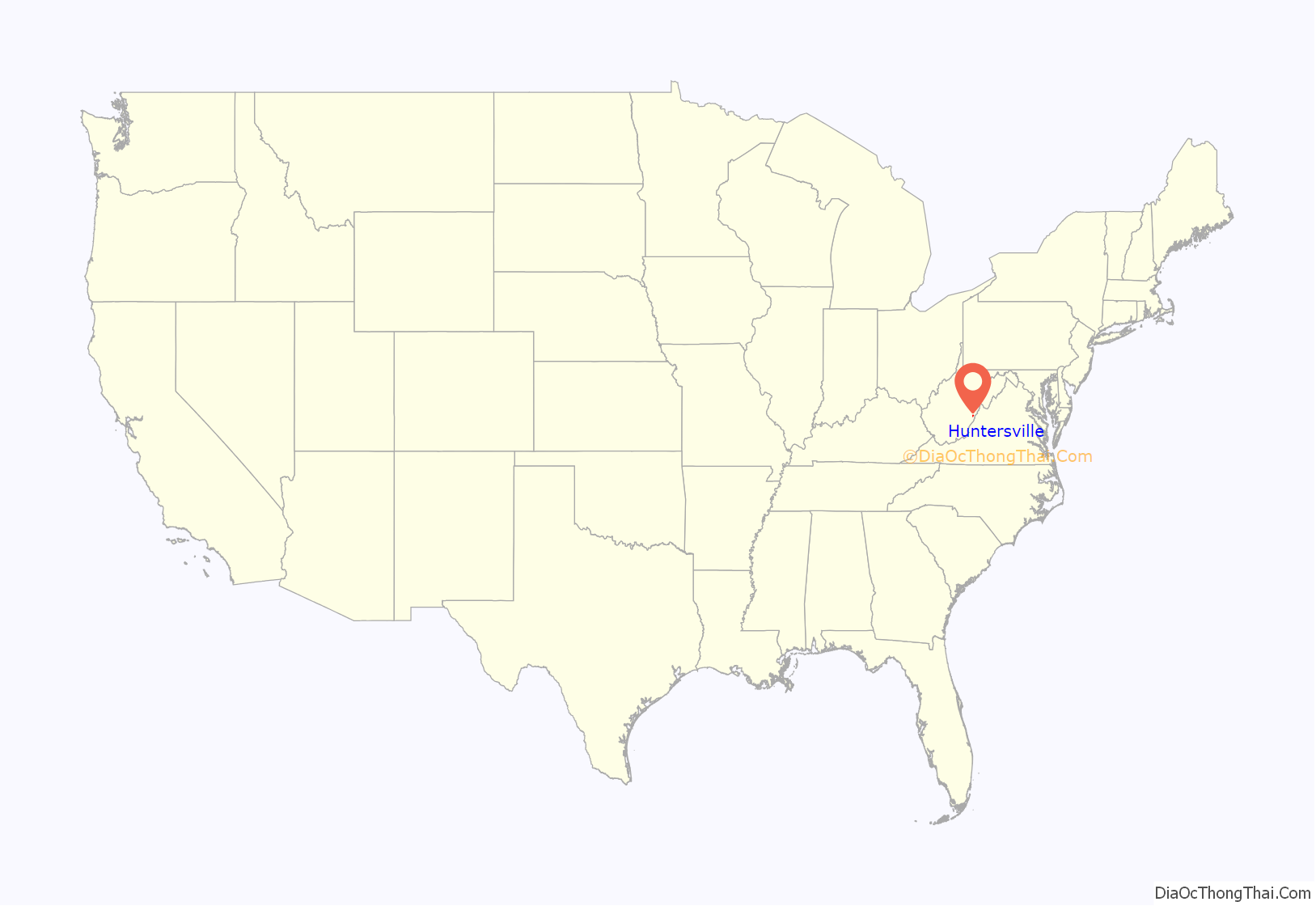
Huntersville is a census-designated place (CDP) located in Pocahontas County, West Virginia, United States in the Alleghany Mountains. As of the 2010 census, its population was 73. It is located six miles east of Marlinton and four miles west of Minnehaha Springs. Huntersville received its name because it was a rendezvous for trappers and hunters who came to trade pelts for supplies. It served as the county seat of Pocahontas County until 1891 when the county’s residents voted to move the seat to Marlinton. A local newspaper called “The Pocahontas Times” is distributed in the area.
Huntersville has many sporting opportunities. Because of its proximity to Knapps Creek flowing nearby, fishermen can catch trout, bass, sun perch, and other fish. Native brook trout streams are also tucked away in quiet places close to the town. Hunting is a big tradition that still lives on in this community because of the vast stretches of Monongahela National Forest that borders the town.
The Huntersville Presbyterian Church was listed on the National Register of Historic Places in 1978.
| Name: | Huntersville CDP |
|---|---|
| LSAD Code: | 57 |
| LSAD Description: | CDP (suffix) |
| State: | West Virginia |
| County: | Pocahontas County |
| Total Area: | 1.131 sq mi (2.93 km²) |
| Land Area: | 1.131 sq mi (2.93 km²) |
| Water Area: | 0 sq mi (0 km²) |
| Total Population: | 73 |
| Population Density: | 65/sq mi (25/km²) |
| FIPS code: | 5439412 |
Online Interactive Map
Click on ![]() to view map in "full screen" mode.
to view map in "full screen" mode.
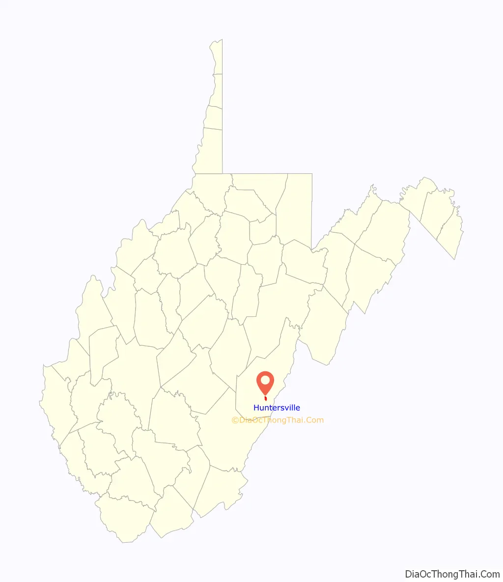
Huntersville location map. Where is Huntersville CDP?
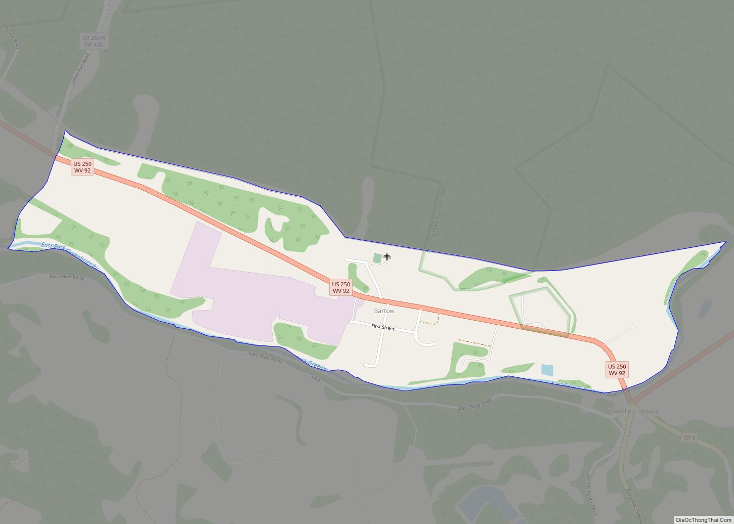
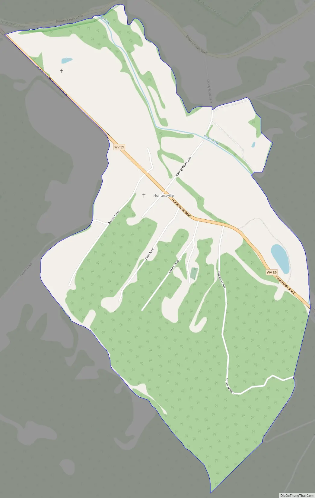
Huntersville Road Map
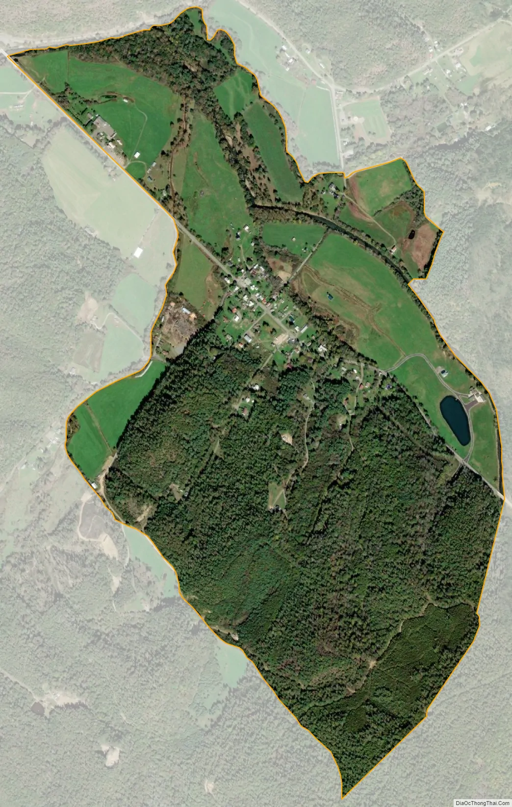
Huntersville city Satellite Map
See also
Map of West Virginia State and its subdivision:- Barbour
- Berkeley
- Boone
- Braxton
- Brooke
- Cabell
- Calhoun
- Clay
- Doddridge
- Fayette
- Gilmer
- Grant
- Greenbrier
- Hampshire
- Hancock
- Hardy
- Harrison
- Jackson
- Jefferson
- Kanawha
- Lewis
- Lincoln
- Logan
- Marion
- Marshall
- Mason
- McDowell
- Mercer
- Mineral
- Mingo
- Monongalia
- Monroe
- Morgan
- Nicholas
- Ohio
- Pendleton
- Pleasants
- Pocahontas
- Preston
- Putnam
- Raleigh
- Randolph
- Ritchie
- Roane
- Summers
- Taylor
- Tucker
- Tyler
- Upshur
- Wayne
- Webster
- Wetzel
- Wirt
- Wood
- Wyoming
- Alabama
- Alaska
- Arizona
- Arkansas
- California
- Colorado
- Connecticut
- Delaware
- District of Columbia
- Florida
- Georgia
- Hawaii
- Idaho
- Illinois
- Indiana
- Iowa
- Kansas
- Kentucky
- Louisiana
- Maine
- Maryland
- Massachusetts
- Michigan
- Minnesota
- Mississippi
- Missouri
- Montana
- Nebraska
- Nevada
- New Hampshire
- New Jersey
- New Mexico
- New York
- North Carolina
- North Dakota
- Ohio
- Oklahoma
- Oregon
- Pennsylvania
- Rhode Island
- South Carolina
- South Dakota
- Tennessee
- Texas
- Utah
- Vermont
- Virginia
- Washington
- West Virginia
- Wisconsin
- Wyoming