Keystone is a city in McDowell County, West Virginia, United States. Per the 2020 census, the population was 176. Keystone is one of the few municipalities in West Virginia with an African-American majority, with 65 percent of the residents being black.
The term “Free State of McDowell” was coined by Matthew Thomas Whittico, a local newspaper editor and community leader from Keystone in the early 20th century. Keystone possessed a unique combination of political, social, and economic characteristics that made it an attractive place for African-Americans to migrate to in the late 1800s and early 1900s.
| Name: | Keystone city |
|---|---|
| LSAD Code: | 25 |
| LSAD Description: | city (suffix) |
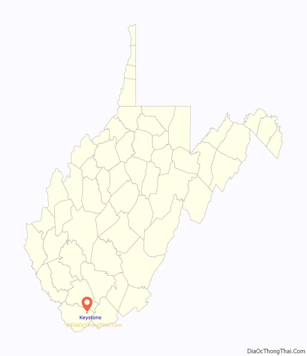
| State: | West Virginia |
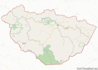
| County: | McDowell County |
| Elevation: | 1,631 ft (497 m) |
| Total Area: | 0.32 sq mi (0.84 km²) |
| Land Area: | 0.32 sq mi (0.84 km²) |
| Water Area: | 0.00 sq mi (0.00 km²) |
| Total Population: | 282 |
| Population Density: | 688.27/sq mi (265.98/km²) |
| ZIP code: | 24852 |
| Area code: | 304 |
| FIPS code: | 5443516 |
| GNISfeature ID: | 1554871 |
Online Interactive Map
Click on ![]() to view map in "full screen" mode.
to view map in "full screen" mode.
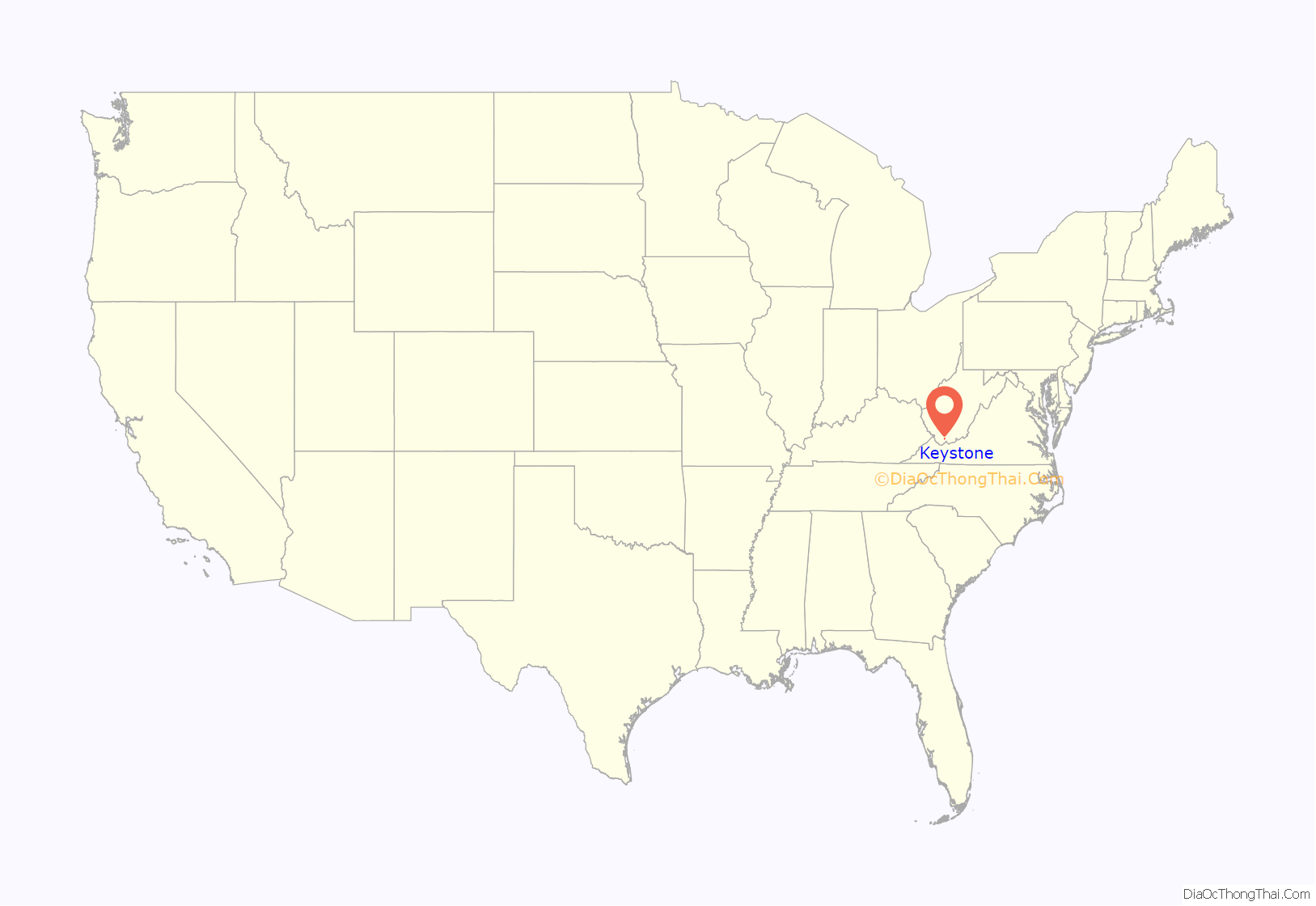
Keystone location map. Where is Keystone city?
History
Keystone was founded in 1892 by the Keystone Coal & Coke Company. Keystone was then incorporated in 1909 by the Circuit Court of McDowell County. Its name is derived from the name of the coal and coke company operating at that point. The city was formerly known as Cassville.
On May 1, 1895, 15,000 union miners (predominantly black) assembled in Keystone and armed themselves, planning to march across the state line to Virginia in order to force the Virginia miners in one bordering mine (also predominantly black) to unionize. The governor of Virginia, Charles O’Ferrall ordered an artillery company and six infantry companies to the Va border, but WV Governor William MacCorkle refused repeated requests from O’Ferrall to reciprocate.
This was in response to the N&W Railroad lowering the minimum price guarantee on coal shipped to Tidewater ports. The operators reduced wages by 20% in response and encouraged their miners to strike. By the end of April that year, the mines on the WV side had completely shut down, but a large mine across the state line in Virginia continued to operate.
The strike collapsed by the end of August. The UMWA was a relatively young union, and could not support a strike of this magnitude. In the end, most of the mines resumed operations with mostly imported strikebreakers.
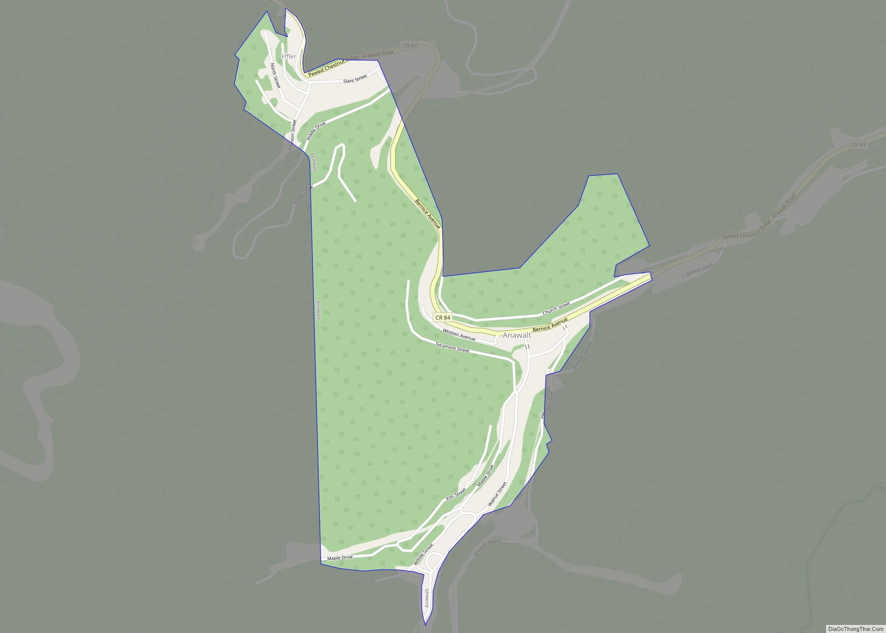
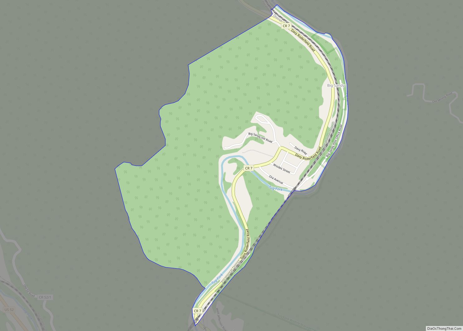
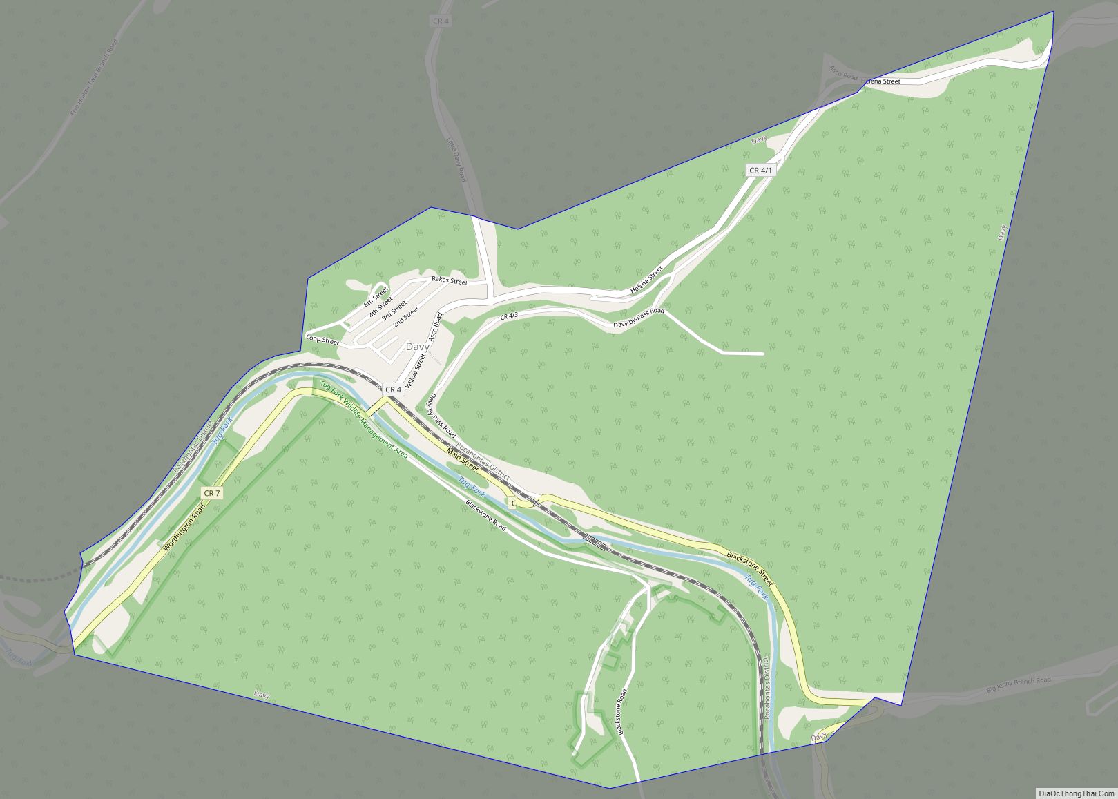
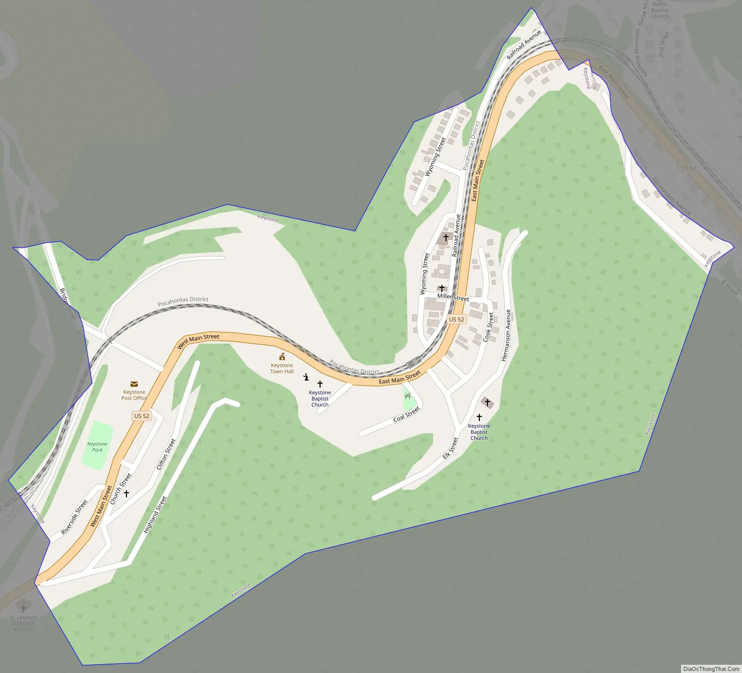
Keystone Road Map
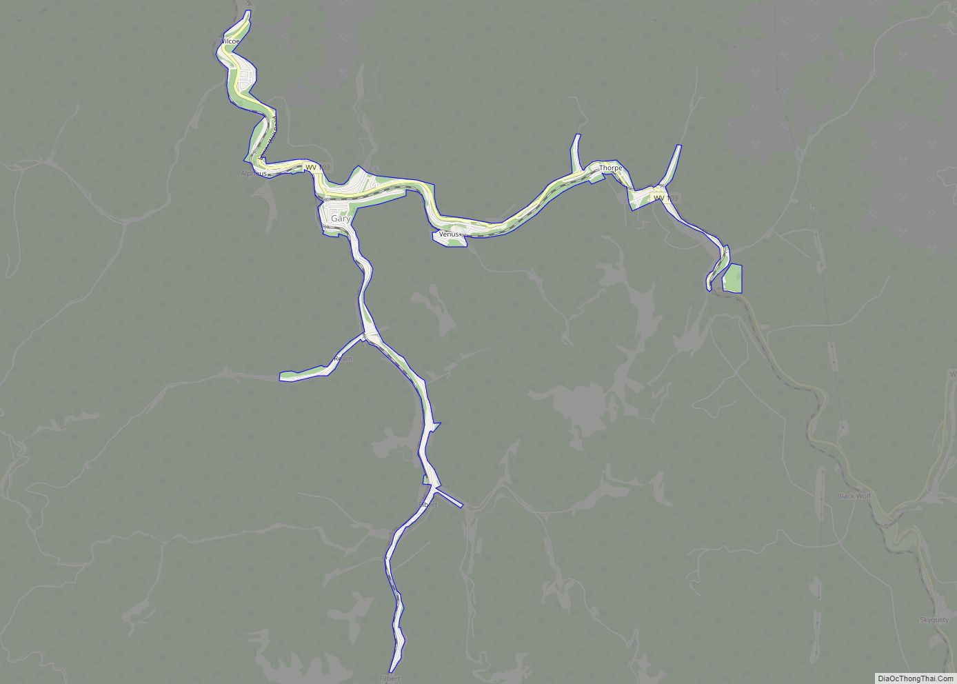
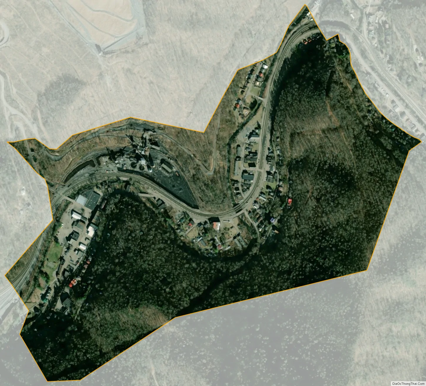
Keystone city Satellite Map
Geography
According to the United States Census Bureau, the city has a total area of 0.32 square miles (0.83 km), all land.
The town is a railway station on the Norfolk Southern Railway (former Norfolk and Western) network.
See also
Map of West Virginia State and its subdivision:- Barbour
- Berkeley
- Boone
- Braxton
- Brooke
- Cabell
- Calhoun
- Clay
- Doddridge
- Fayette
- Gilmer
- Grant
- Greenbrier
- Hampshire
- Hancock
- Hardy
- Harrison
- Jackson
- Jefferson
- Kanawha
- Lewis
- Lincoln
- Logan
- Marion
- Marshall
- Mason
- McDowell
- Mercer
- Mineral
- Mingo
- Monongalia
- Monroe
- Morgan
- Nicholas
- Ohio
- Pendleton
- Pleasants
- Pocahontas
- Preston
- Putnam
- Raleigh
- Randolph
- Ritchie
- Roane
- Summers
- Taylor
- Tucker
- Tyler
- Upshur
- Wayne
- Webster
- Wetzel
- Wirt
- Wood
- Wyoming
- Alabama
- Alaska
- Arizona
- Arkansas
- California
- Colorado
- Connecticut
- Delaware
- District of Columbia
- Florida
- Georgia
- Hawaii
- Idaho
- Illinois
- Indiana
- Iowa
- Kansas
- Kentucky
- Louisiana
- Maine
- Maryland
- Massachusetts
- Michigan
- Minnesota
- Mississippi
- Missouri
- Montana
- Nebraska
- Nevada
- New Hampshire
- New Jersey
- New Mexico
- New York
- North Carolina
- North Dakota
- Ohio
- Oklahoma
- Oregon
- Pennsylvania
- Rhode Island
- South Carolina
- South Dakota
- Tennessee
- Texas
- Utah
- Vermont
- Virginia
- Washington
- West Virginia
- Wisconsin
- Wyoming