Kimball is a town in McDowell County, West Virginia, United States. Per the 2020 census, the population was 145.
Kimball was incorporated in 1911 and named for Frederick J. Kimball, a railroad official. Kimball is the site of the first war memorial building erected in memory of the African-American veterans of World War I.
| Name: | Kimball town |
|---|---|
| LSAD Code: | 43 |
| LSAD Description: | town (suffix) |
| State: | West Virginia |
| County: | McDowell County |
| Elevation: | 1,509 ft (460 m) |
| Total Area: | 0.25 sq mi (0.66 km²) |
| Land Area: | 0.25 sq mi (0.66 km²) |
| Water Area: | 0.00 sq mi (0.00 km²) |
| Total Population: | 145 |
| Population Density: | 580/sq mi (220/km²) |
| ZIP code: | 24853 |
| Area code: | 304 |
| FIPS code: | 5443780 |
| GNISfeature ID: | 1541195 |
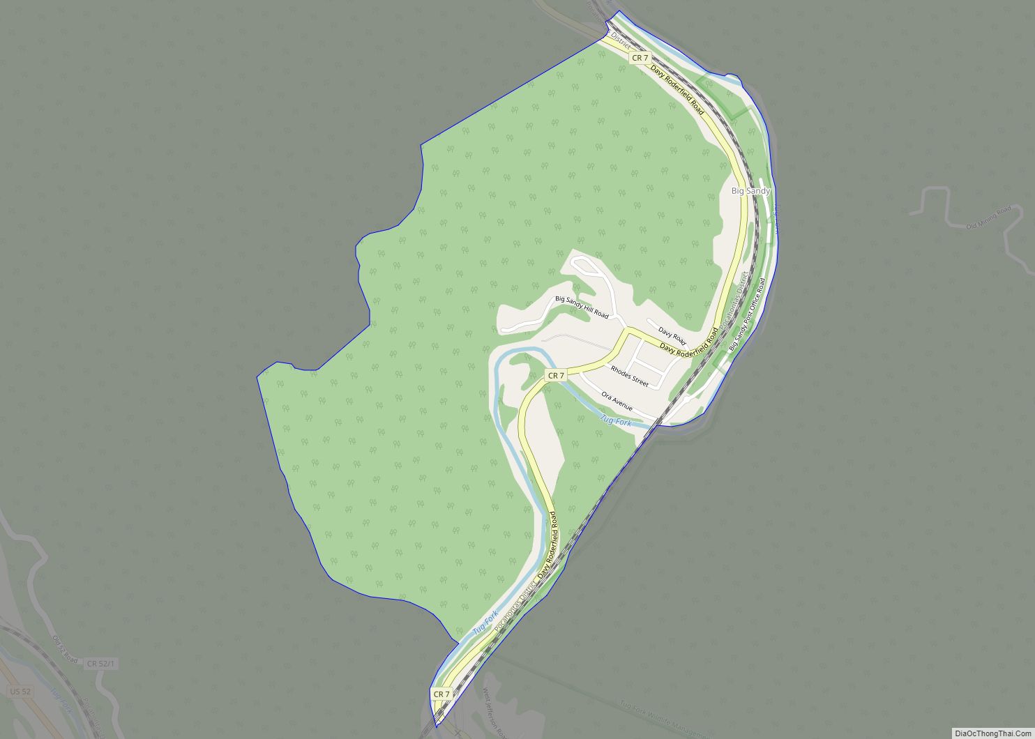
Online Interactive Map
Click on ![]() to view map in "full screen" mode.
to view map in "full screen" mode.
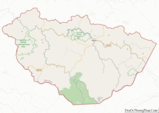
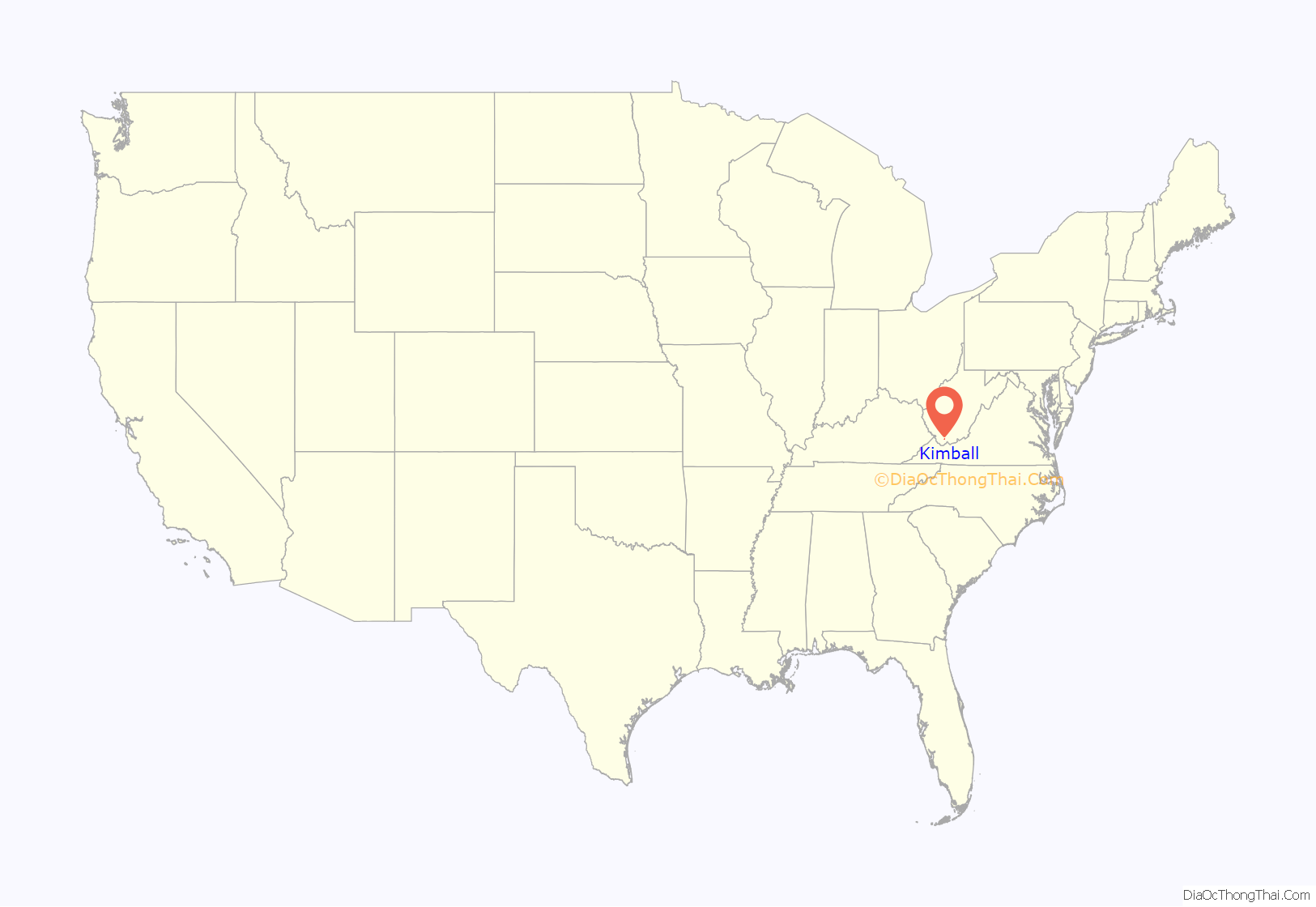
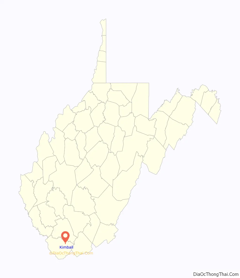
Kimball location map. Where is Kimball town?
History
The Kimball mining disaster took place on July 18, 1919, at the Carswell coal mine in Kimball, killing six miners. Initial reports said that 221 men had been killed, but they were trapped by the explosion. A rescue party was able to dig through the wreckage, allowing 215 to return alive to the surface.
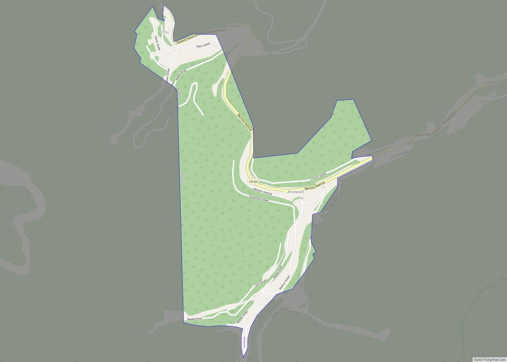
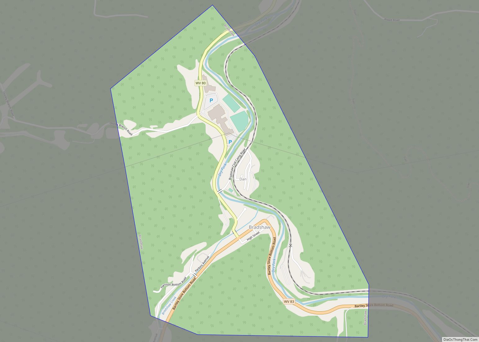
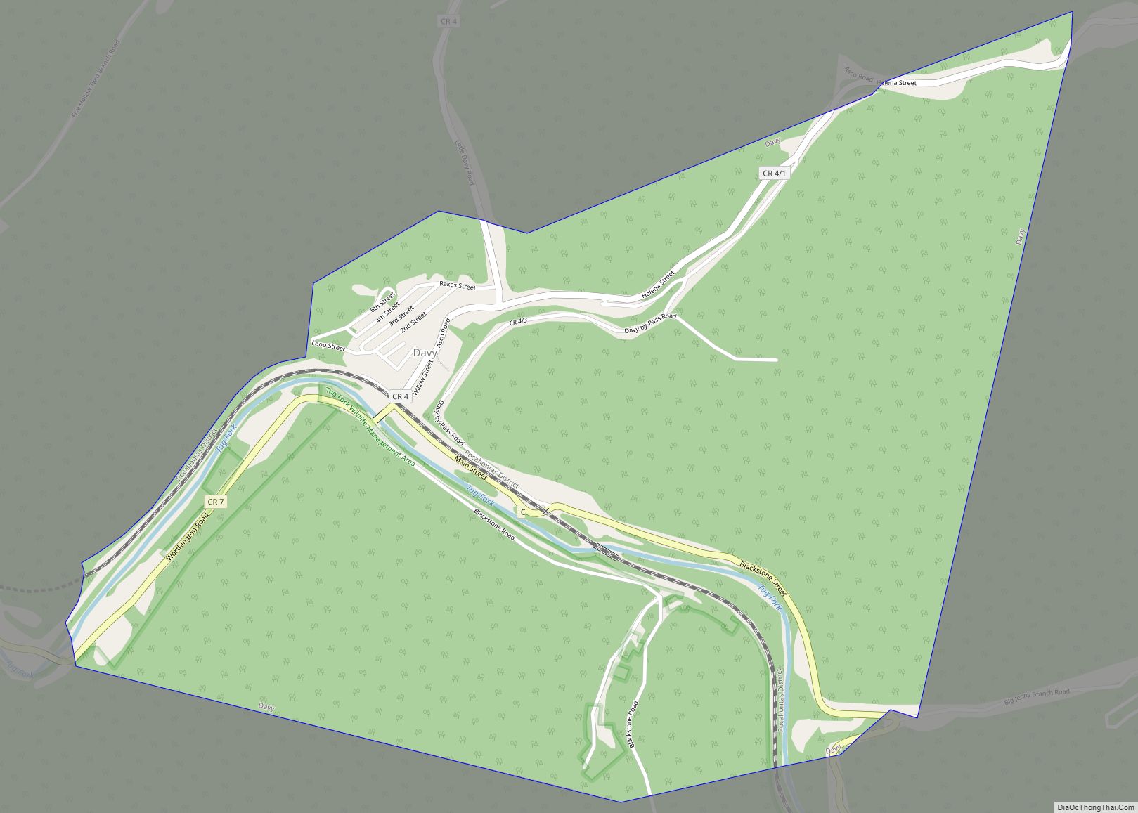
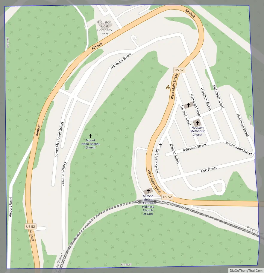
Kimball Road Map
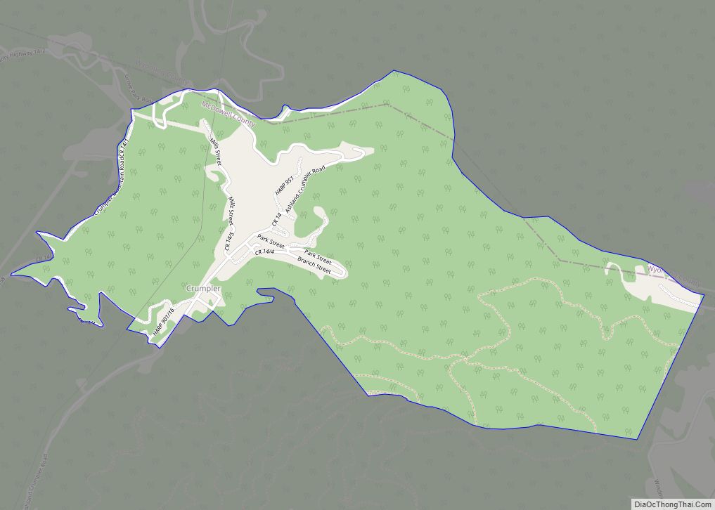
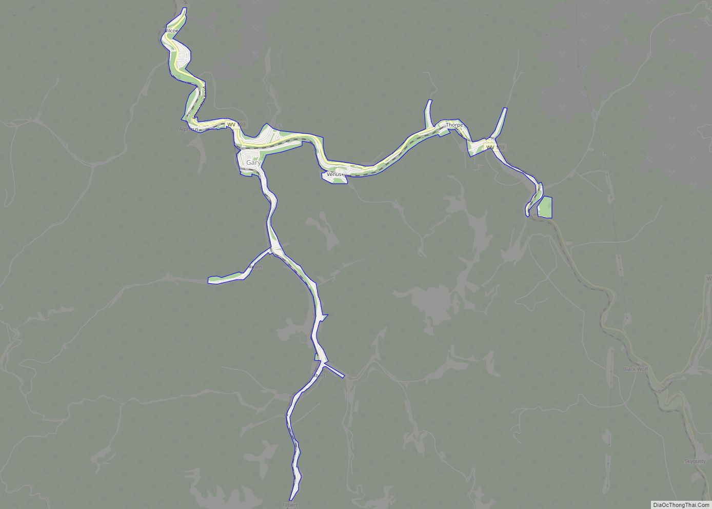
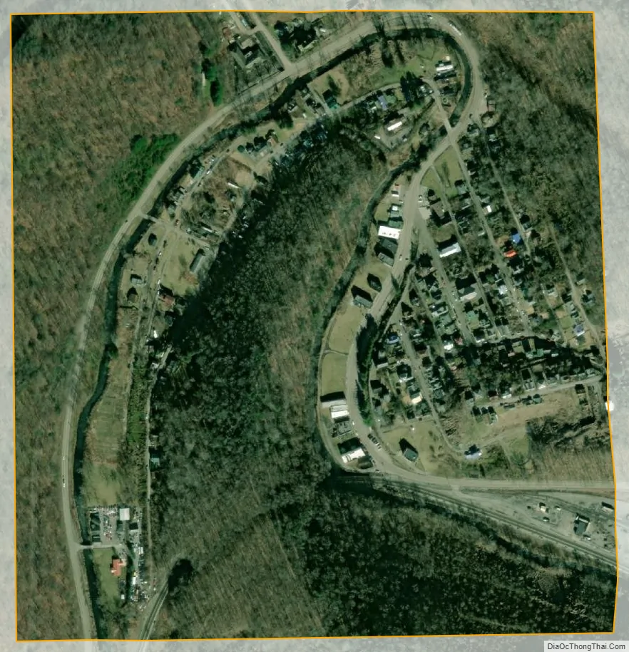
Kimball city Satellite Map
Geography
According to the United States Census Bureau, the town has a total area of 0.25 square miles (0.65 km), all land.
The town is on the Norfolk Southern Railway (former Norfolk and Western) network.
See also
Map of West Virginia State and its subdivision:- Barbour
- Berkeley
- Boone
- Braxton
- Brooke
- Cabell
- Calhoun
- Clay
- Doddridge
- Fayette
- Gilmer
- Grant
- Greenbrier
- Hampshire
- Hancock
- Hardy
- Harrison
- Jackson
- Jefferson
- Kanawha
- Lewis
- Lincoln
- Logan
- Marion
- Marshall
- Mason
- McDowell
- Mercer
- Mineral
- Mingo
- Monongalia
- Monroe
- Morgan
- Nicholas
- Ohio
- Pendleton
- Pleasants
- Pocahontas
- Preston
- Putnam
- Raleigh
- Randolph
- Ritchie
- Roane
- Summers
- Taylor
- Tucker
- Tyler
- Upshur
- Wayne
- Webster
- Wetzel
- Wirt
- Wood
- Wyoming
- Alabama
- Alaska
- Arizona
- Arkansas
- California
- Colorado
- Connecticut
- Delaware
- District of Columbia
- Florida
- Georgia
- Hawaii
- Idaho
- Illinois
- Indiana
- Iowa
- Kansas
- Kentucky
- Louisiana
- Maine
- Maryland
- Massachusetts
- Michigan
- Minnesota
- Mississippi
- Missouri
- Montana
- Nebraska
- Nevada
- New Hampshire
- New Jersey
- New Mexico
- New York
- North Carolina
- North Dakota
- Ohio
- Oklahoma
- Oregon
- Pennsylvania
- Rhode Island
- South Carolina
- South Dakota
- Tennessee
- Texas
- Utah
- Vermont
- Virginia
- Washington
- West Virginia
- Wisconsin
- Wyoming