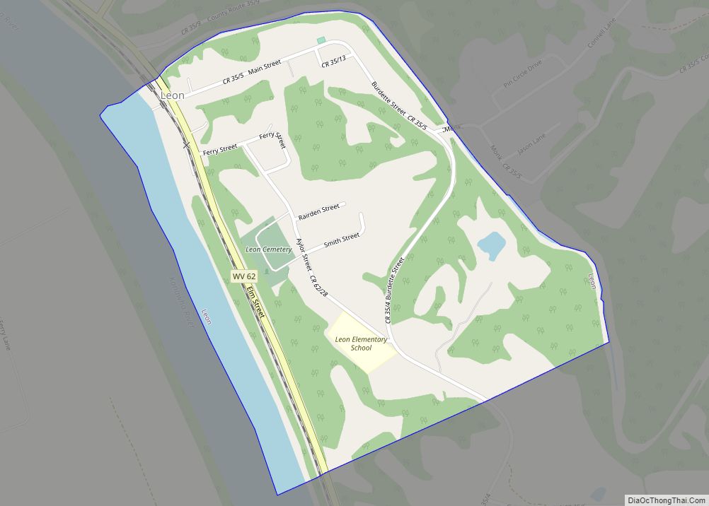
Leon is a town in Mason County, West Virginia, United States, situated along the Kanawha River. The population was 137 at the 2020 census. It is part of the Point Pleasant, WV–OH Micropolitan Statistical Area.
| Name: | Leon town |
|---|---|
| LSAD Code: | 43 |
| LSAD Description: | town (suffix) |
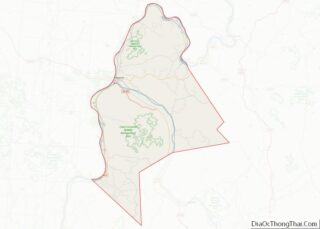
| State: | West Virginia |
| County: | Mason County |
| Elevation: | 568 ft (173 m) |
| Total Area: | 0.37 sq mi (0.97 km²) |
| Land Area: | 0.32 sq mi (0.83 km²) |
| Water Area: | 0.05 sq mi (0.14 km²) |
| Total Population: | 137 |
| Population Density: | 462.50/sq mi (178.50/km²) |
| ZIP code: | 25123 |
| Area code: | 304 |
| FIPS code: | 5446300 |
| GNISfeature ID: | 1541786 |
Online Interactive Map
Click on ![]() to view map in "full screen" mode.
to view map in "full screen" mode.
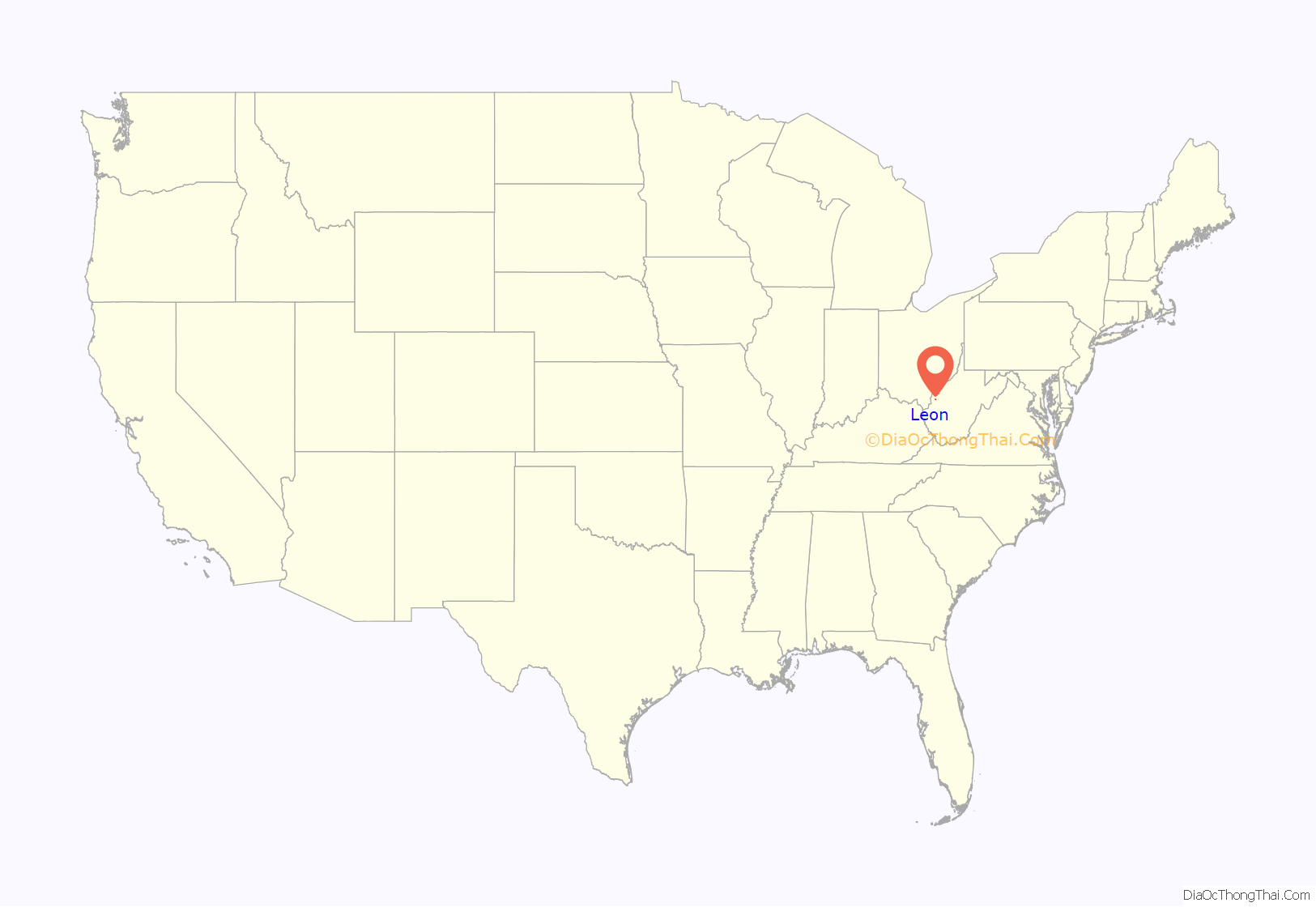
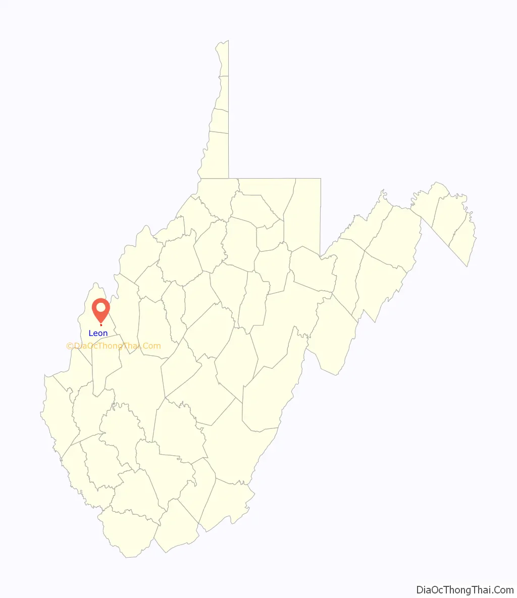
Leon location map. Where is Leon town?
History
The Gen. John McCausland House was listed on the National Register of Historic Places in 1980 and the boundary expanded in 2000.
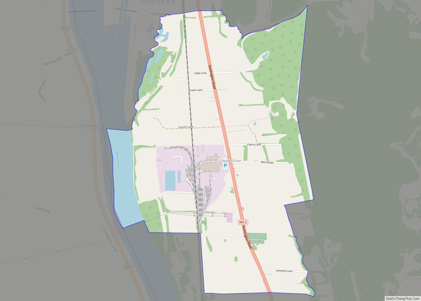
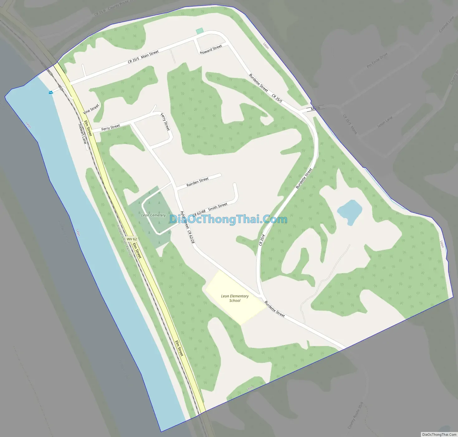
Leon Road Map
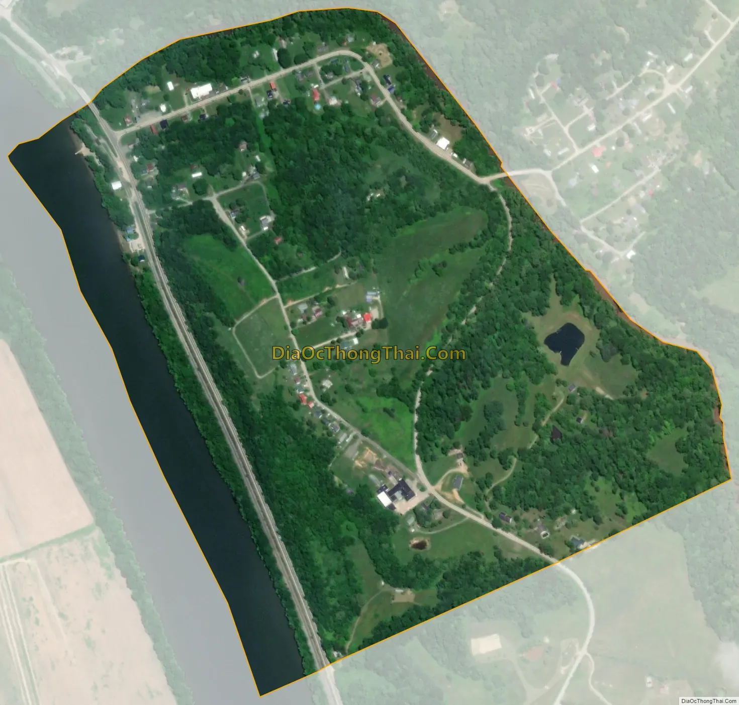
Leon city Satellite Map
Geography
Leon is located at 38°44′58″N 81°57′29″W / 38.74944°N 81.95806°W / 38.74944; -81.95806 (38.749501, -81.958135).
According to the United States Census Bureau, the town has a total area of 0.37 square miles (0.96 km), of which 0.32 square miles (0.83 km) is land and 0.05 square miles (0.13 km) is water.
The Kanawha River, which cuts through the whole state of West Virginia, passes by Leon.
See also
Map of West Virginia State and its subdivision:- Barbour
- Berkeley
- Boone
- Braxton
- Brooke
- Cabell
- Calhoun
- Clay
- Doddridge
- Fayette
- Gilmer
- Grant
- Greenbrier
- Hampshire
- Hancock
- Hardy
- Harrison
- Jackson
- Jefferson
- Kanawha
- Lewis
- Lincoln
- Logan
- Marion
- Marshall
- Mason
- McDowell
- Mercer
- Mineral
- Mingo
- Monongalia
- Monroe
- Morgan
- Nicholas
- Ohio
- Pendleton
- Pleasants
- Pocahontas
- Preston
- Putnam
- Raleigh
- Randolph
- Ritchie
- Roane
- Summers
- Taylor
- Tucker
- Tyler
- Upshur
- Wayne
- Webster
- Wetzel
- Wirt
- Wood
- Wyoming
- Alabama
- Alaska
- Arizona
- Arkansas
- California
- Colorado
- Connecticut
- Delaware
- District of Columbia
- Florida
- Georgia
- Hawaii
- Idaho
- Illinois
- Indiana
- Iowa
- Kansas
- Kentucky
- Louisiana
- Maine
- Maryland
- Massachusetts
- Michigan
- Minnesota
- Mississippi
- Missouri
- Montana
- Nebraska
- Nevada
- New Hampshire
- New Jersey
- New Mexico
- New York
- North Carolina
- North Dakota
- Ohio
- Oklahoma
- Oregon
- Pennsylvania
- Rhode Island
- South Carolina
- South Dakota
- Tennessee
- Texas
- Utah
- Vermont
- Virginia
- Washington
- West Virginia
- Wisconsin
- Wyoming