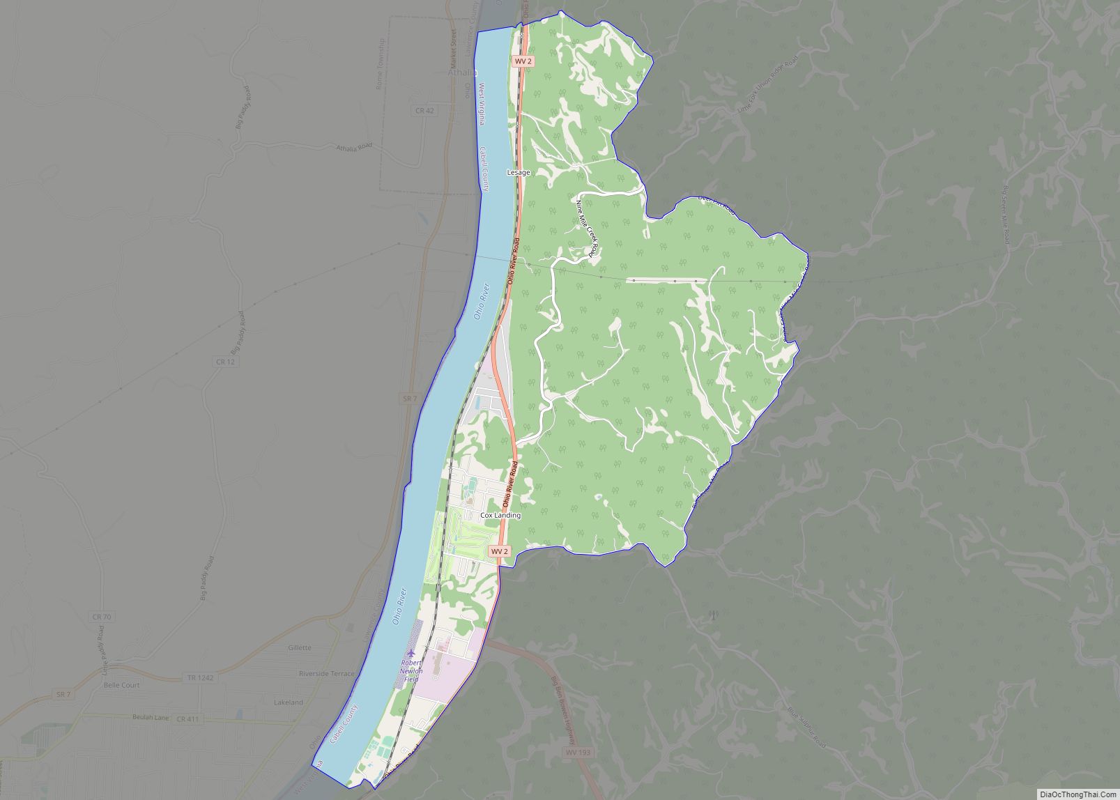
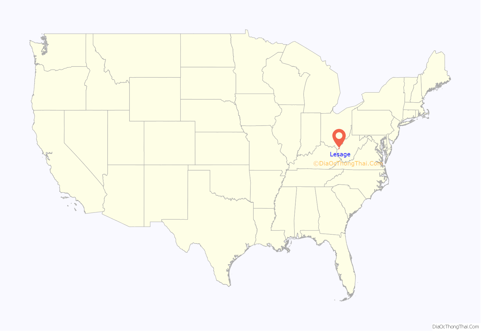
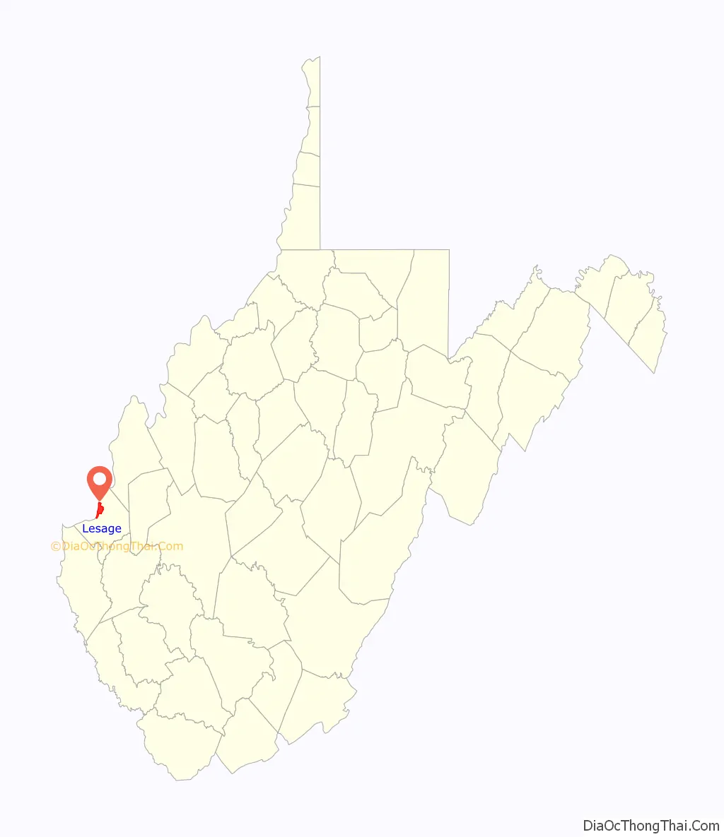
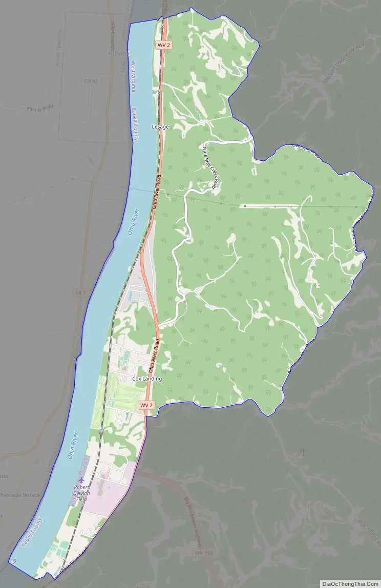
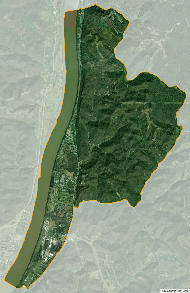
Lesage is a census-designated place (CDP) on Ohio River Road in Cabell County, West Virginia, United States. As of the 2010 census, its population was 1,358. It is the nearest community to Clover site, a National Historic Landmark.
Lesage is a part of the Huntington-Ashland Metropolitan Statistical Area (MSA). As of the 2010 census, the MSA had a population of 287,702. New definitions from February 28, 2013 placed the population at 363,000.
The community was named after Jules F. M. LeSage, an early settler.
| Name: | Lesage CDP |
|---|---|
| LSAD Code: | 57 |
| LSAD Description: | CDP (suffix) |
| State: | West Virginia |
| County: | Cabell County |
| Total Area: | 7.234 sq mi (18.74 km²) |
| Land Area: | 6.095 sq mi (15.79 km²) |
| Water Area: | 1.139 sq mi (2.95 km²) |
| Total Population: | 1,358 |
| Population Density: | 190/sq mi (72/km²) |
| FIPS code: | 5446420 |
Online Interactive Map
Click on ![]() to view map in "full screen" mode.
to view map in "full screen" mode.
Lesage location map. Where is Lesage CDP?
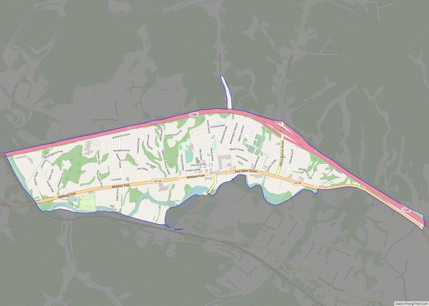
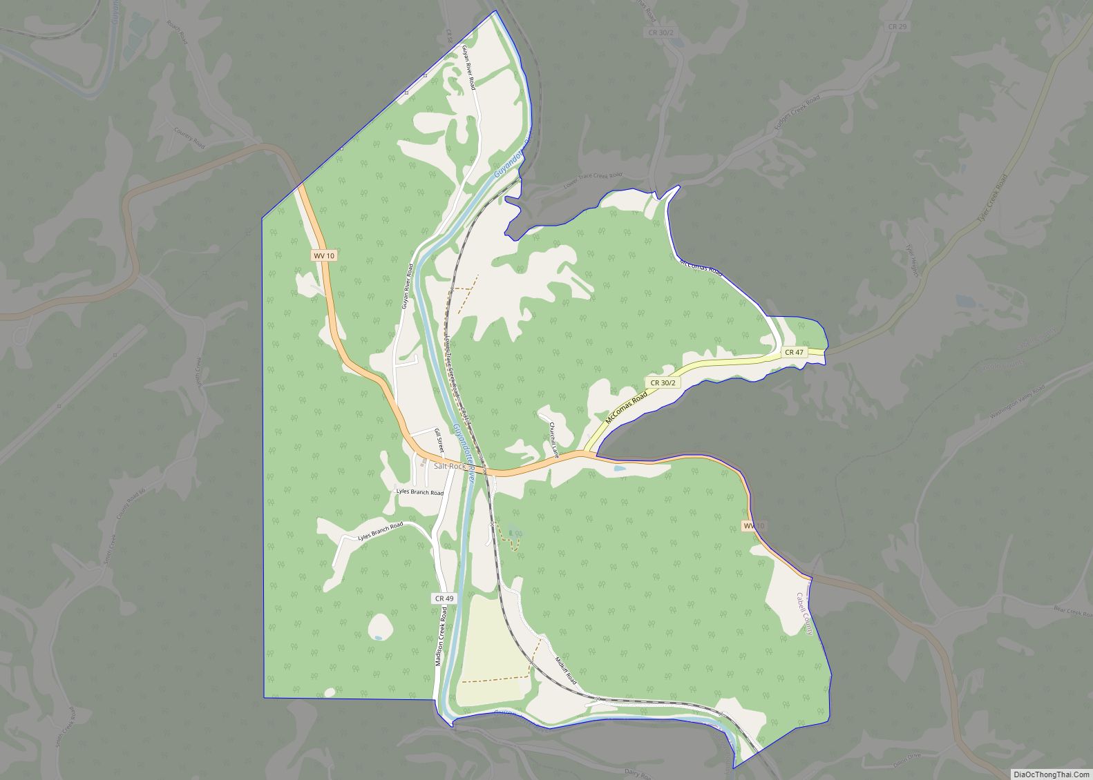
Lesage Road Map
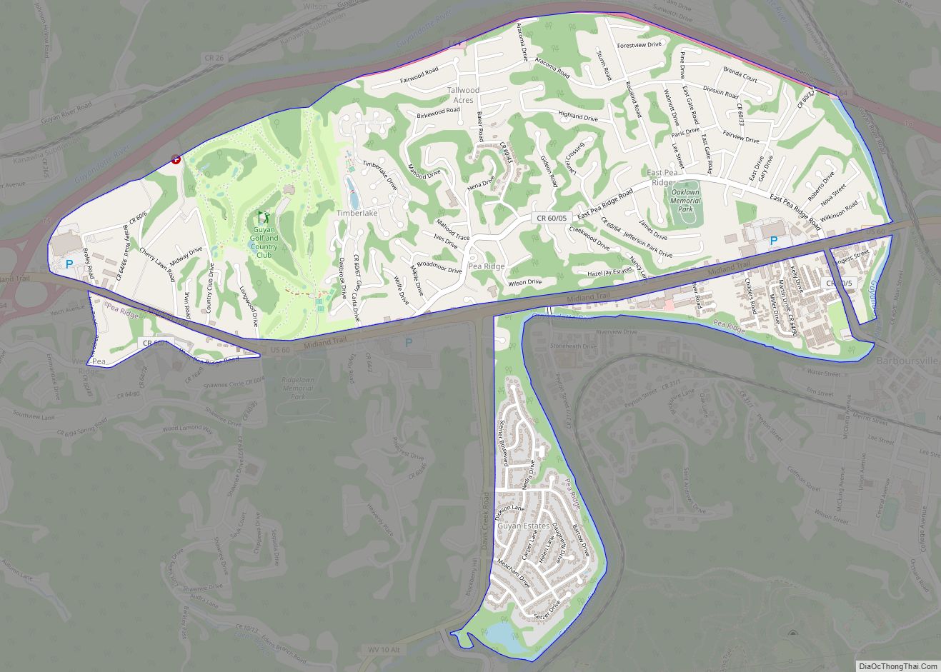
Lesage city Satellite Map
See also
Map of West Virginia State and its subdivision:- Barbour
- Berkeley
- Boone
- Braxton
- Brooke
- Cabell
- Calhoun
- Clay
- Doddridge
- Fayette
- Gilmer
- Grant
- Greenbrier
- Hampshire
- Hancock
- Hardy
- Harrison
- Jackson
- Jefferson
- Kanawha
- Lewis
- Lincoln
- Logan
- Marion
- Marshall
- Mason
- McDowell
- Mercer
- Mineral
- Mingo
- Monongalia
- Monroe
- Morgan
- Nicholas
- Ohio
- Pendleton
- Pleasants
- Pocahontas
- Preston
- Putnam
- Raleigh
- Randolph
- Ritchie
- Roane
- Summers
- Taylor
- Tucker
- Tyler
- Upshur
- Wayne
- Webster
- Wetzel
- Wirt
- Wood
- Wyoming
- Alabama
- Alaska
- Arizona
- Arkansas
- California
- Colorado
- Connecticut
- Delaware
- District of Columbia
- Florida
- Georgia
- Hawaii
- Idaho
- Illinois
- Indiana
- Iowa
- Kansas
- Kentucky
- Louisiana
- Maine
- Maryland
- Massachusetts
- Michigan
- Minnesota
- Mississippi
- Missouri
- Montana
- Nebraska
- Nevada
- New Hampshire
- New Jersey
- New Mexico
- New York
- North Carolina
- North Dakota
- Ohio
- Oklahoma
- Oregon
- Pennsylvania
- Rhode Island
- South Carolina
- South Dakota
- Tennessee
- Texas
- Utah
- Vermont
- Virginia
- Washington
- West Virginia
- Wisconsin
- Wyoming