Littleton is a census-designated place (CDP) in Wetzel County, West Virginia, United States. The population was 198 at the 2010 census.
| Name: | Littleton CDP |
|---|---|
| LSAD Code: | 57 |
| LSAD Description: | CDP (suffix) |
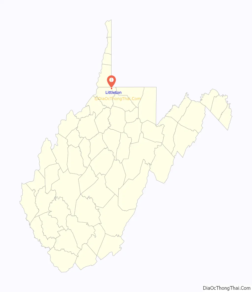
| State: | West Virginia |
| County: | Wetzel County |
| Elevation: | 925 ft (282 m) |
| Total Area: | 0.7 sq mi (1.7 km²) |
| Land Area: | 0.7 sq mi (1.7 km²) |
| Water Area: | 0.0 sq mi (0.0 km²) |
| Total Population: | 198 |
| Population Density: | 280/sq mi (120/km²) |
| ZIP code: | 26581 |
| Area code: | 304 |
| FIPS code: | 5447788 |
| GNISfeature ID: | 1542266 |
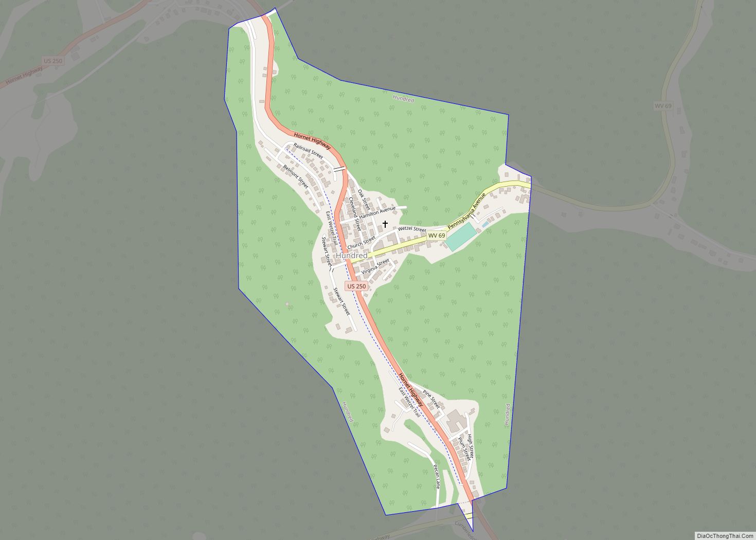
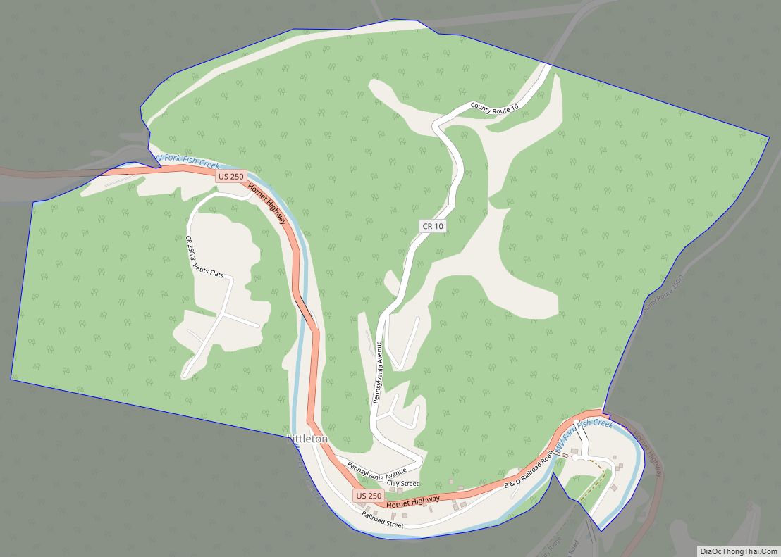
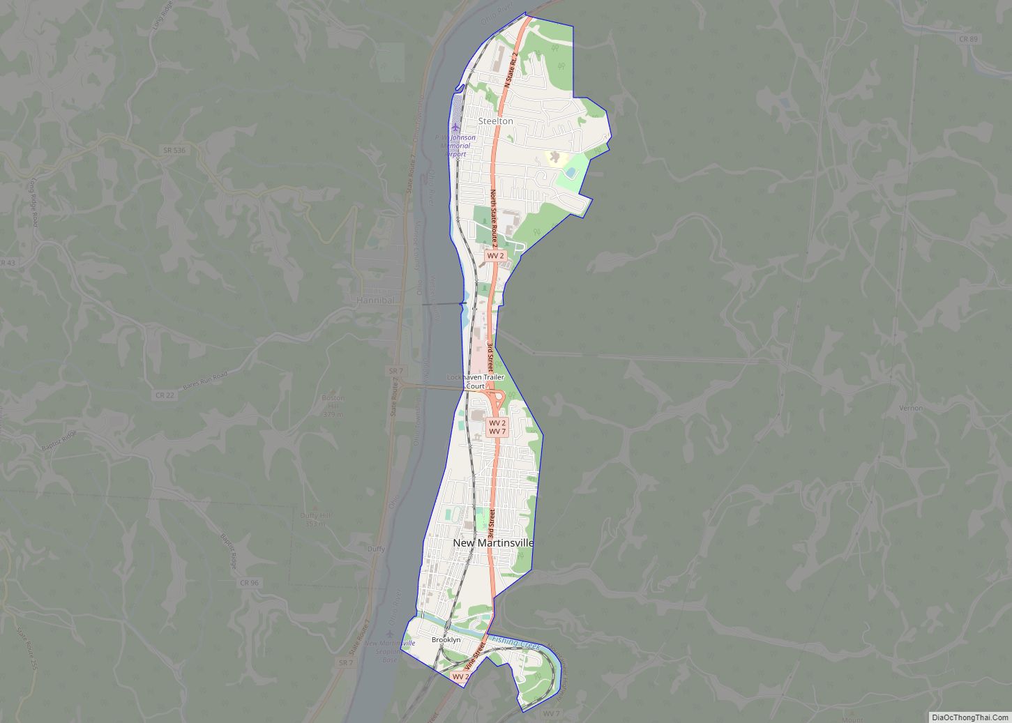
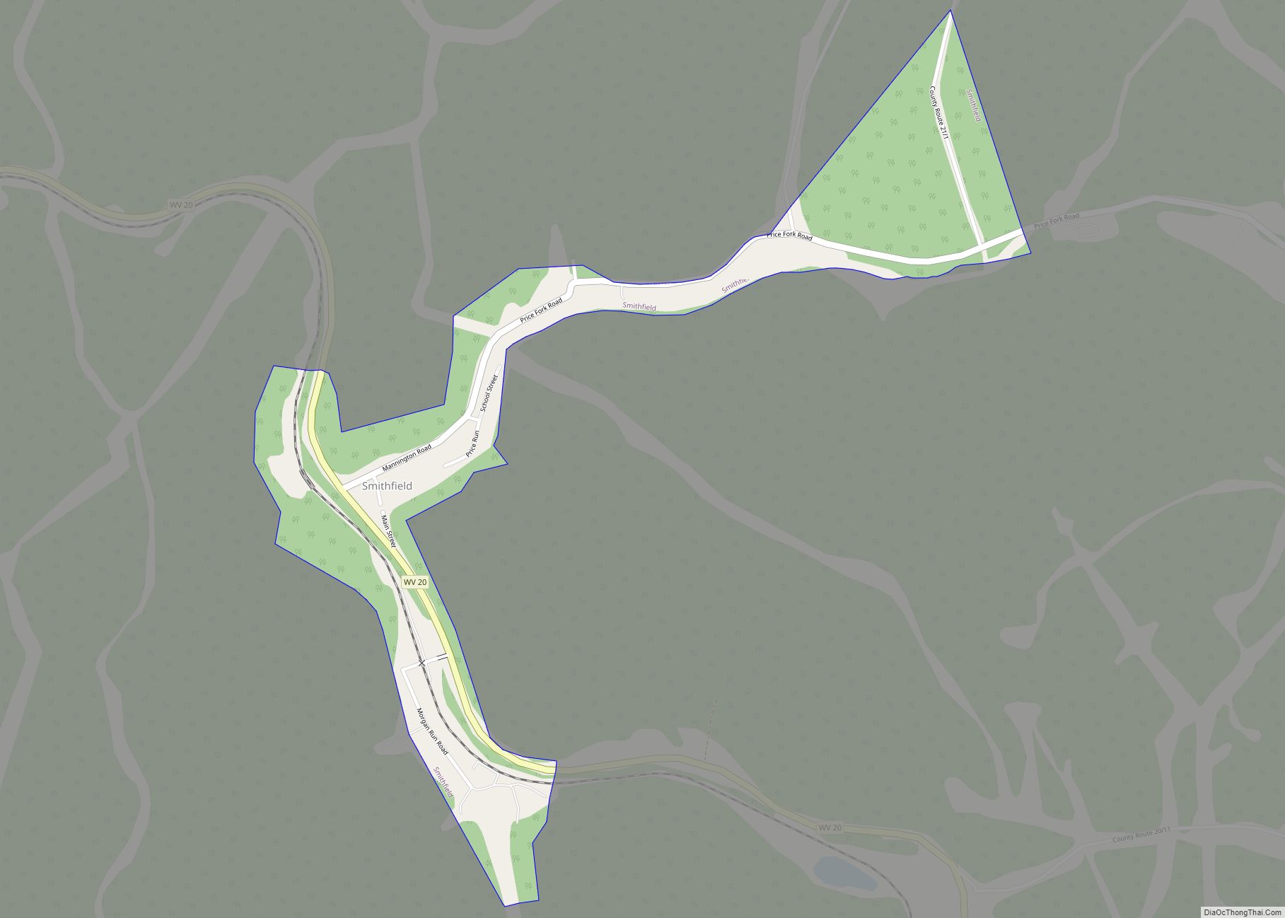
Online Interactive Map
Click on ![]() to view map in "full screen" mode.
to view map in "full screen" mode.
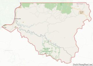
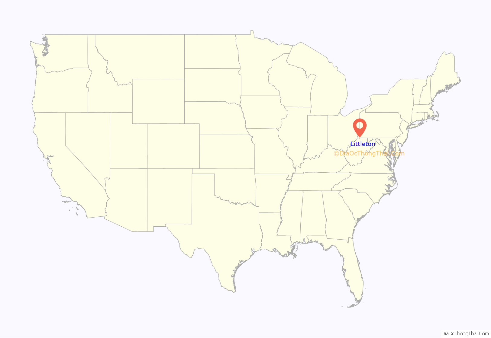
Littleton location map. Where is Littleton CDP?
History
Some say the community derives its name from William Little, a pioneer settler, while others believe it was named after Harrison Little, a local reverend. Littleton was formerly an incorporated town and was dissolved in 2004.
Littleton Road Map
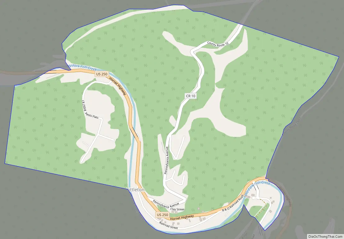
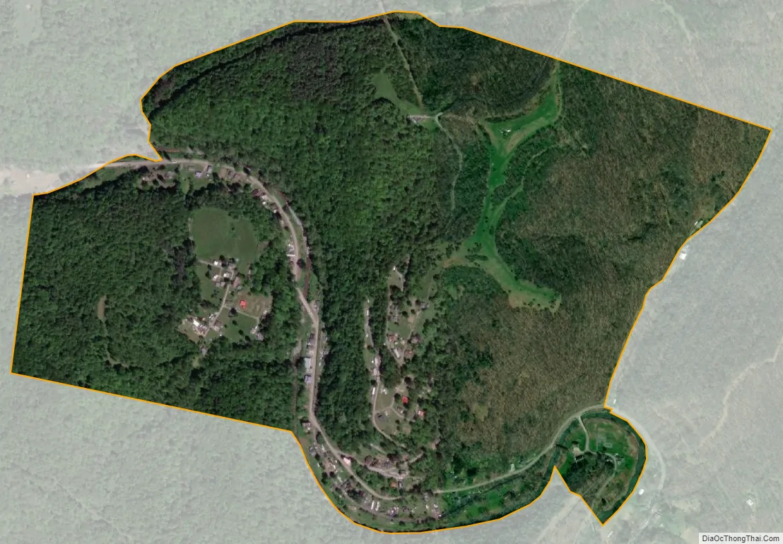
Littleton city Satellite Map
Geography
Littleton is located at 39°42′5″N 80°30′57″W / 39.70139°N 80.51583°W / 39.70139; -80.51583 (39.701505, -80.515936).
According to the United States Census Bureau, the town had a total area of 0.7 square miles (1.7 km), all land.
See also
Map of West Virginia State and its subdivision:- Barbour
- Berkeley
- Boone
- Braxton
- Brooke
- Cabell
- Calhoun
- Clay
- Doddridge
- Fayette
- Gilmer
- Grant
- Greenbrier
- Hampshire
- Hancock
- Hardy
- Harrison
- Jackson
- Jefferson
- Kanawha
- Lewis
- Lincoln
- Logan
- Marion
- Marshall
- Mason
- McDowell
- Mercer
- Mineral
- Mingo
- Monongalia
- Monroe
- Morgan
- Nicholas
- Ohio
- Pendleton
- Pleasants
- Pocahontas
- Preston
- Putnam
- Raleigh
- Randolph
- Ritchie
- Roane
- Summers
- Taylor
- Tucker
- Tyler
- Upshur
- Wayne
- Webster
- Wetzel
- Wirt
- Wood
- Wyoming
- Alabama
- Alaska
- Arizona
- Arkansas
- California
- Colorado
- Connecticut
- Delaware
- District of Columbia
- Florida
- Georgia
- Hawaii
- Idaho
- Illinois
- Indiana
- Iowa
- Kansas
- Kentucky
- Louisiana
- Maine
- Maryland
- Massachusetts
- Michigan
- Minnesota
- Mississippi
- Missouri
- Montana
- Nebraska
- Nevada
- New Hampshire
- New Jersey
- New Mexico
- New York
- North Carolina
- North Dakota
- Ohio
- Oklahoma
- Oregon
- Pennsylvania
- Rhode Island
- South Carolina
- South Dakota
- Tennessee
- Texas
- Utah
- Vermont
- Virginia
- Washington
- West Virginia
- Wisconsin
- Wyoming