Milton is a town in Cabell County, West Virginia, United States. The population was 2,831 at the 2020 census. It is part of the Huntington–Ashland metropolitan area.
| Name: | Milton town |
|---|---|
| LSAD Code: | 43 |
| LSAD Description: | town (suffix) |
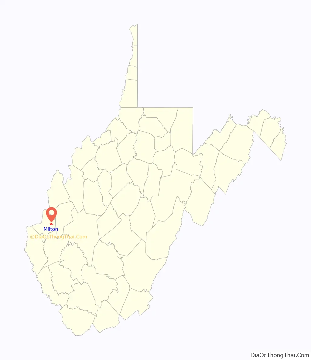
| State: | West Virginia |
| County: | Cabell County |
| Elevation: | 584 ft (178 m) |
| Total Area: | 2.01 sq mi (5.21 km²) |
| Land Area: | 1.97 sq mi (5.10 km²) |
| Water Area: | 0.04 sq mi (0.11 km²) |
| Total Population: | 2,831 |
| Population Density: | 1,286.44/sq mi (496.79/km²) |
| ZIP code: | 25541 |
| Area code: | 304 |
| FIPS code: | 5454484 |
| GNISfeature ID: | 1543433 |
| Website: | https://www.cityofmiltonwv.com/ |
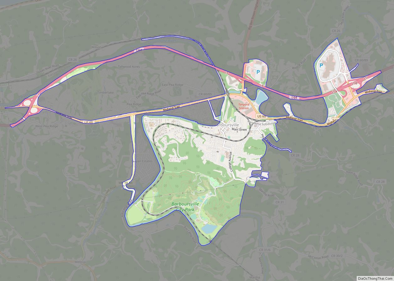
Online Interactive Map
Click on ![]() to view map in "full screen" mode.
to view map in "full screen" mode.
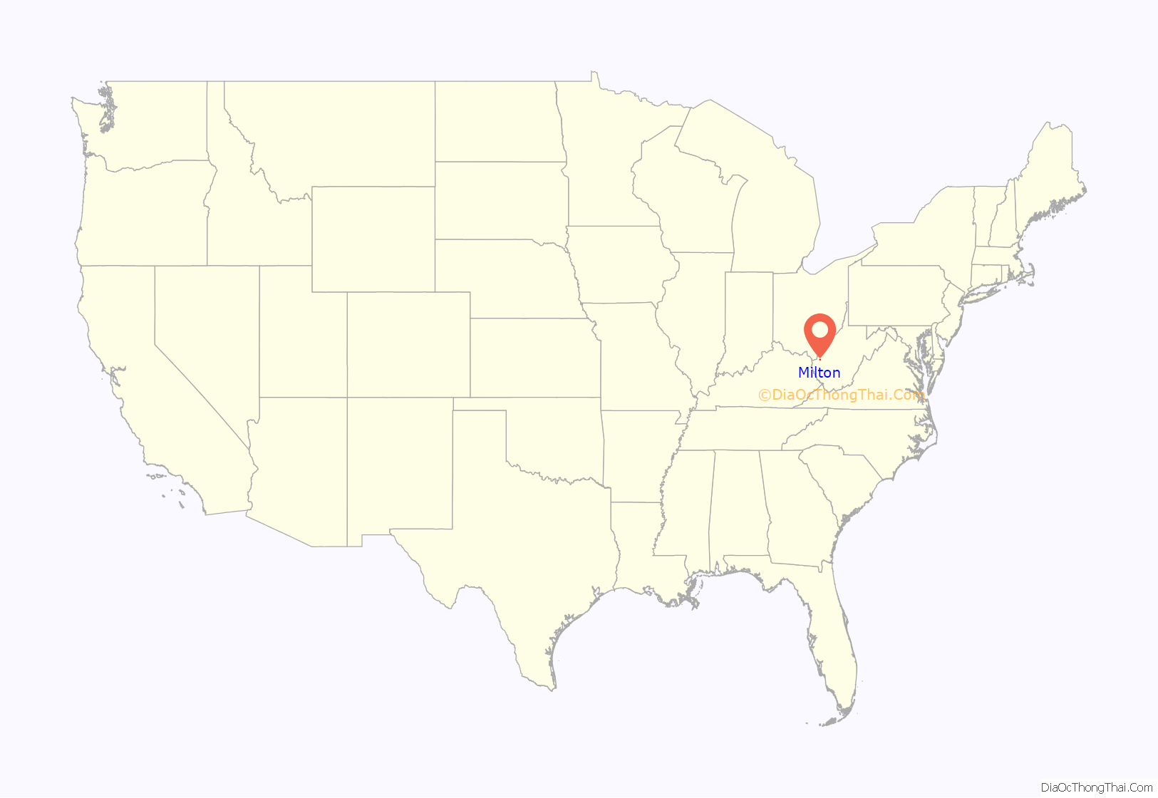
Milton location map. Where is Milton town?
History
The town was named after Milton Reece, the original owner of the town site.
Milton is noted for the historic Mud River Covered Bridge across the nearby Mud River. In 2002, the covered bridge was moved to nearby Pumpkin Park. It was listed on the National Register of Historic Places in 1975. The town is also known for Blenko Glass, which is across the street from Pumpkin Park.
The former Morris Memorial Hospital for Crippled Children was listed on the National Register of Historic Places in 2013.
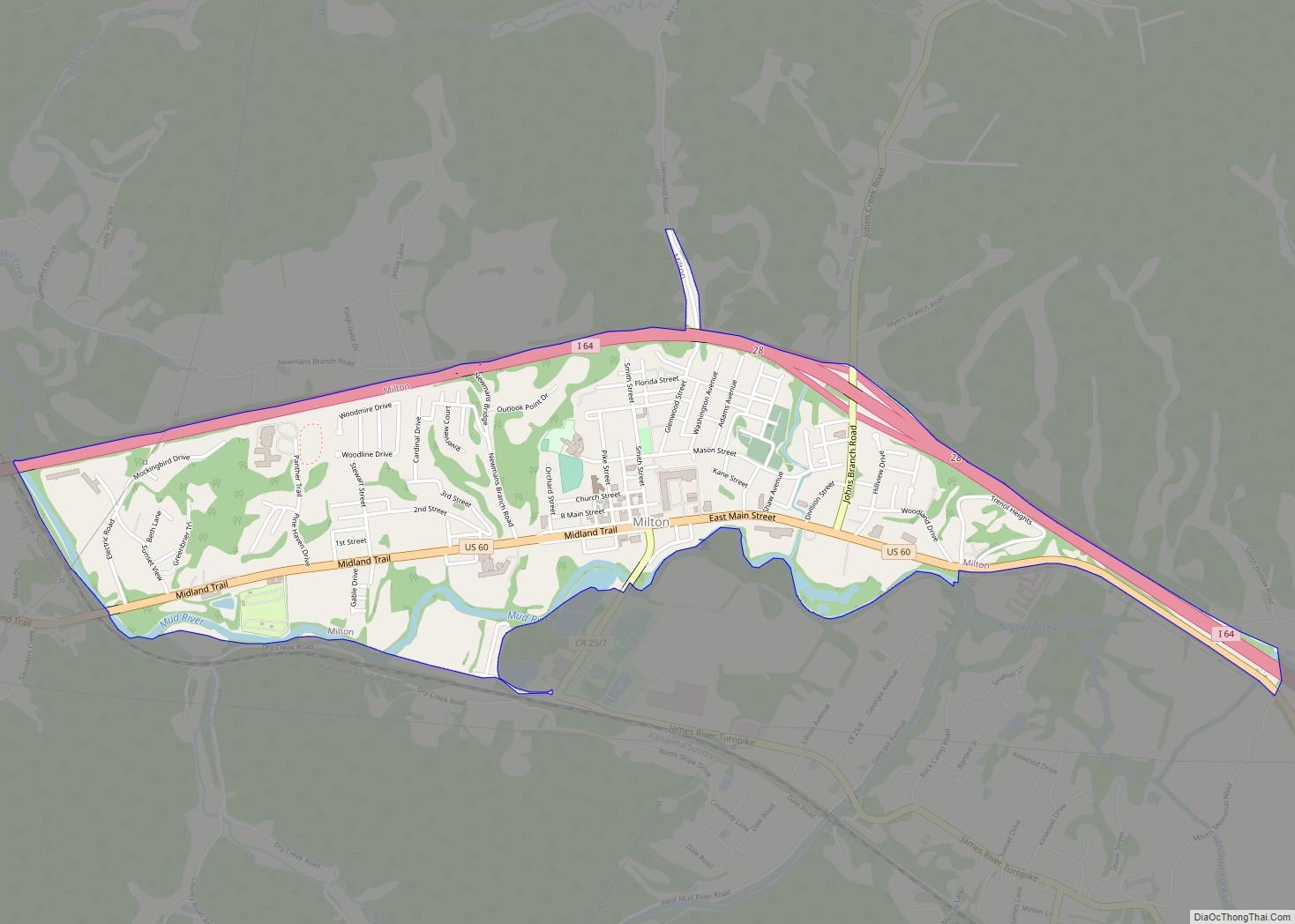
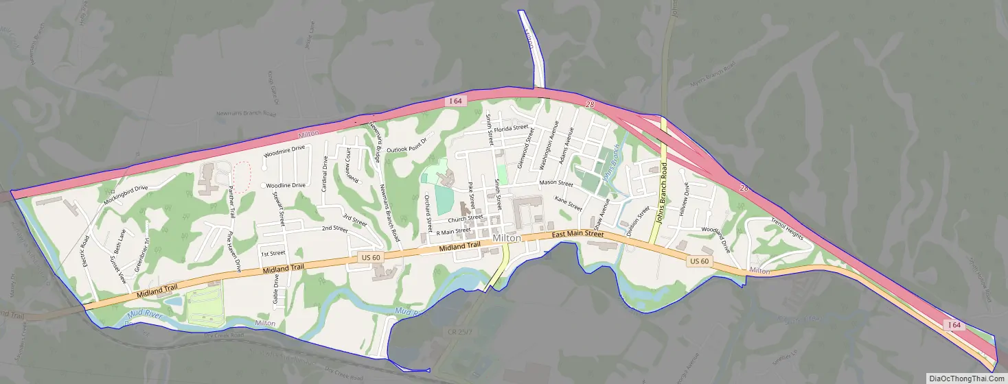
Milton Road Map
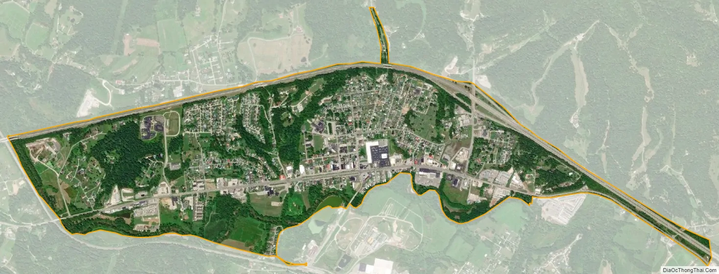
Milton city Satellite Map
Geography
Milton is located along the Mud River.
According to the United States Census Bureau, the town has a total area of 1.58 square miles (4.09 km), of which 1.54 square miles (3.99 km) is land and 0.04 square miles (0.10 km) is water.
See also
Map of West Virginia State and its subdivision:- Barbour
- Berkeley
- Boone
- Braxton
- Brooke
- Cabell
- Calhoun
- Clay
- Doddridge
- Fayette
- Gilmer
- Grant
- Greenbrier
- Hampshire
- Hancock
- Hardy
- Harrison
- Jackson
- Jefferson
- Kanawha
- Lewis
- Lincoln
- Logan
- Marion
- Marshall
- Mason
- McDowell
- Mercer
- Mineral
- Mingo
- Monongalia
- Monroe
- Morgan
- Nicholas
- Ohio
- Pendleton
- Pleasants
- Pocahontas
- Preston
- Putnam
- Raleigh
- Randolph
- Ritchie
- Roane
- Summers
- Taylor
- Tucker
- Tyler
- Upshur
- Wayne
- Webster
- Wetzel
- Wirt
- Wood
- Wyoming
- Alabama
- Alaska
- Arizona
- Arkansas
- California
- Colorado
- Connecticut
- Delaware
- District of Columbia
- Florida
- Georgia
- Hawaii
- Idaho
- Illinois
- Indiana
- Iowa
- Kansas
- Kentucky
- Louisiana
- Maine
- Maryland
- Massachusetts
- Michigan
- Minnesota
- Mississippi
- Missouri
- Montana
- Nebraska
- Nevada
- New Hampshire
- New Jersey
- New Mexico
- New York
- North Carolina
- North Dakota
- Ohio
- Oklahoma
- Oregon
- Pennsylvania
- Rhode Island
- South Carolina
- South Dakota
- Tennessee
- Texas
- Utah
- Vermont
- Virginia
- Washington
- West Virginia
- Wisconsin
- Wyoming