Monongah is a town in Marion County, West Virginia, United States, situated where Booths Creek flows into the West Fork River. The population was 972 at the 2020 census. Monongah was chartered in 1891, based on Chapter 47 of West Virginia code. Its name is derived from the nearby Monongahela River.
| Name: | Monongah town |
|---|---|
| LSAD Code: | 43 |
| LSAD Description: | town (suffix) |
| State: | West Virginia |
| County: | Marion County |
| Incorporated: | 1891 |
| Elevation: | 961 ft (293 m) |
| Total Area: | 0.53 sq mi (1.38 km²) |
| Land Area: | 0.49 sq mi (1.26 km²) |
| Water Area: | 0.04 sq mi (0.12 km²) |
| Total Population: | 972 |
| Population Density: | 2,354.51/sq mi (909.01/km²) |
| ZIP code: | 26554-26555 |
| Area code: | 304 |
| FIPS code: | 5455276 |
| GNISfeature ID: | 1555149 |
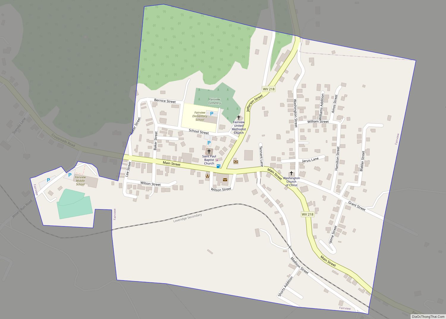
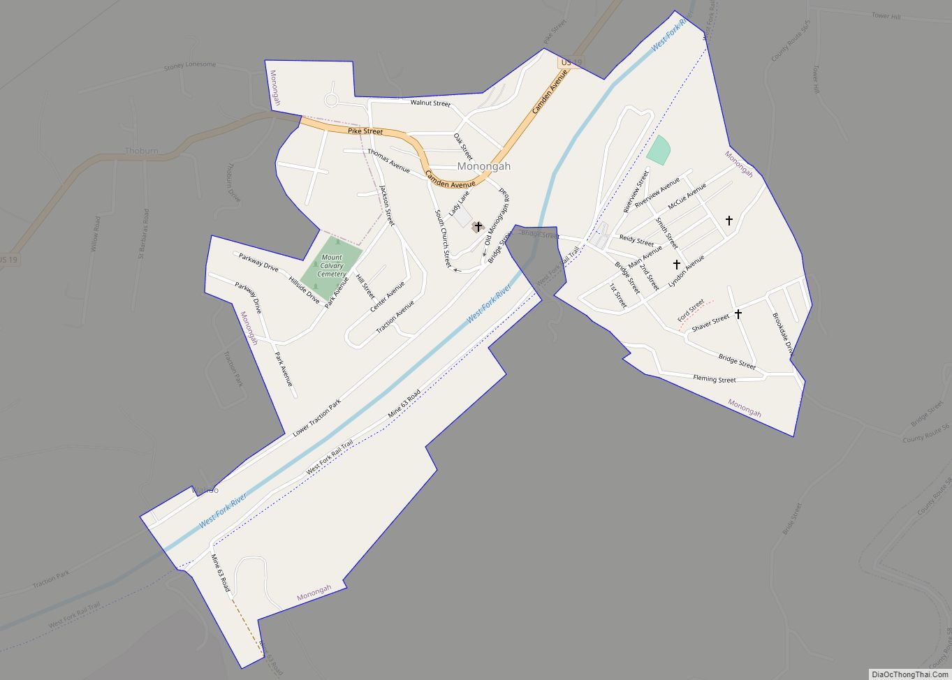
Online Interactive Map
Click on ![]() to view map in "full screen" mode.
to view map in "full screen" mode.
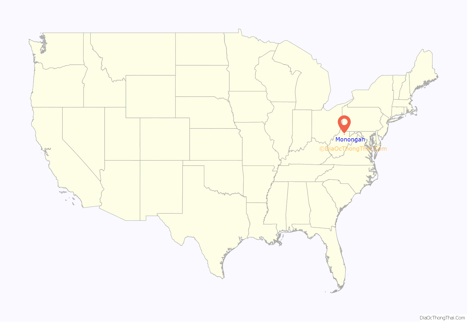
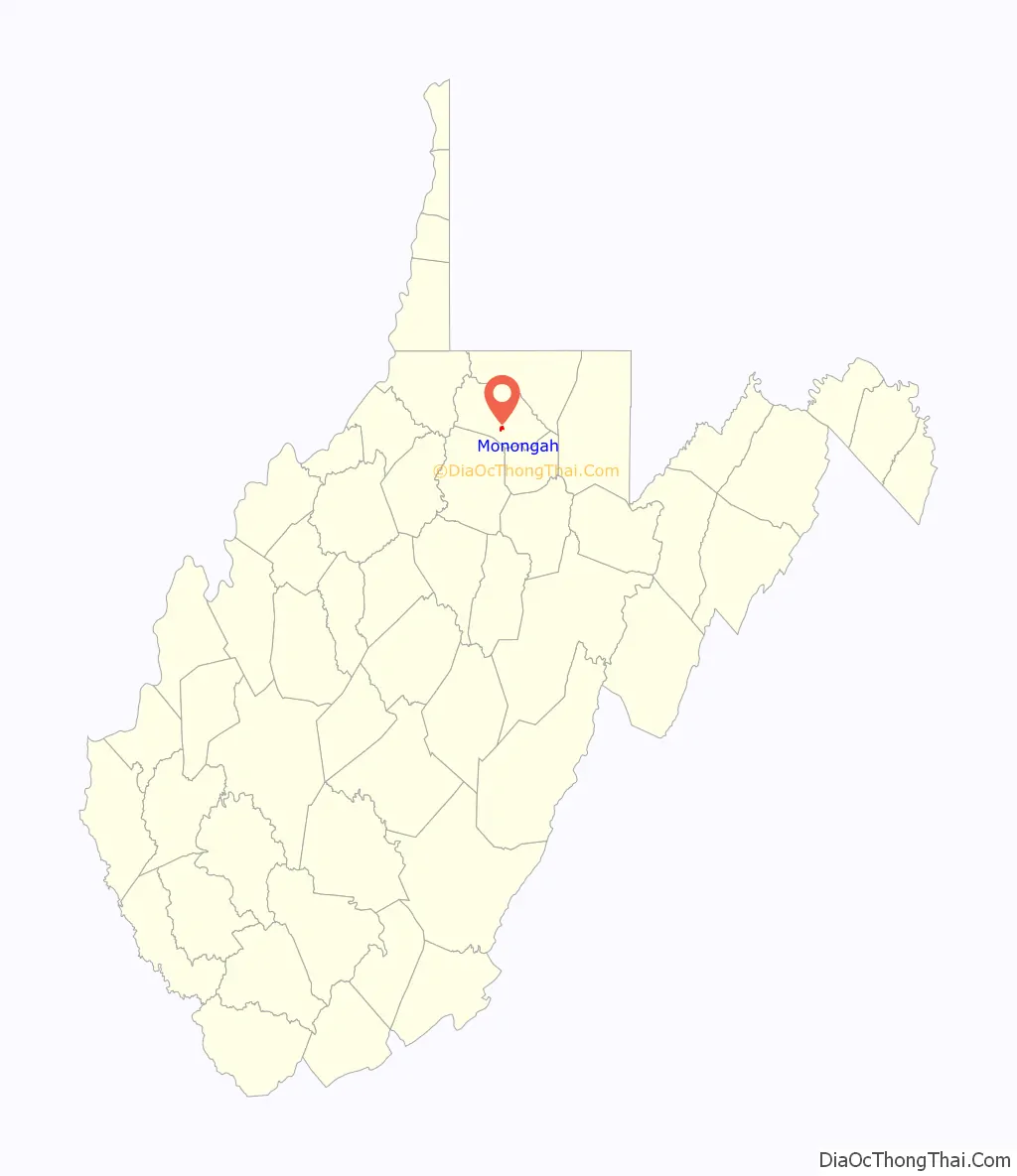
Monongah location map. Where is Monongah town?
History
The Adena and Hopewell peoples dwelt in what is now northern West Virginia 1,500–2,000+ years ago. By the time of the early European traders and settlers, the native population is thought to have been nil, decimated by the Beaver Wars.
Monongah was known as Briar Town and was part of the Grant Magisterial District in 1886.
It was later known as Camdensburg, named after Johnson N. Camden, United States Senator from West Virginia (1881–1887). The Protestant Episcopal Church at Camdensburg described Camdensburg in 1889 as “a new mining and coking town which promises to be a place of some importance in a few years.”
Monongah was chartered in 1891 under Chapter 47 of West Virginia code, Of Cities, Towns, and Villages, Incorporation of Without Special Charter; Amending Charter Where Population Less Than Two Thousand.
Monongah mining disaster
Monongah suffered the loss of all 358 miners underground and an engineer on the surface when Fairmont Coal Company Mines No 6 and No 8 exploded at 10:30 am on December 6, 1907. The dead consisted of 171 Italians, 85 Americans, 52 Hungarians, 31 Russians, 15 Austrians, and 5 Turks. Three more people died in the aftermath, yielding a total of 361 victims. This mining accident left approximately 250 widows and 1,000 fatherless children.
Mayor W.H. Moore, along with D.F. Morris, William Gaskins, and John Boydoh served on the Monongah Relief Committee, formed soon after to help manage the aid effort. Mayor Moore headed the Monongah Mines Relief Committee after Monongah and Fairmont decided to merge their committees into a joint effort.
Memorials were erected in the center of town to recognize the centennial of the mining disaster on December 7, 2007. One memorial, titled Monongah Heroine, consists of a statue of a mother holding a baby with a young child beside her. It is dedicated to the widows and mothers of the miners who died. The inspiration for the statue is reported to have come from Catarina Davia, a woman widowed by the disaster. Feeling betrayed by the coal company for lack of compensation after her husband’s death she vowed to make the 1.3 mile trek from her home to the mine to steal a satchel of coal every day until she died. She didn’t only do this once every day but she did it twice. Her house was still standing until an accidental fire burned the house down on September 10, 2010. A second memorial, consisting of an engraved metal bell and plaque, was placed by the Italians to recognize the many victims from Molise in southern Italy.
Father Everett Francis Briggs, a Roman Catholic missionary of the Maryknoll order, oversaw the memorial project and died just a few days after its completion. On February 21, 2002, the West Virginia Legislature (House Concurrent Resolution no. 40) resolved “to name the bridge which traverses the West Fork River in Marion County, located .12 miles west of county route 27/2, the Father Everett Francis Briggs Bridge“, in honor of Briggs’ dedication to the forgotten victims of the 1907 tragedy and the mine widows.
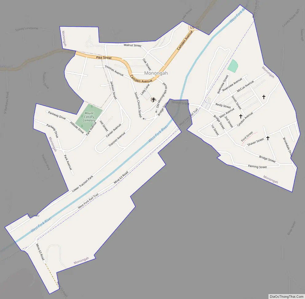
Monongah Road Map
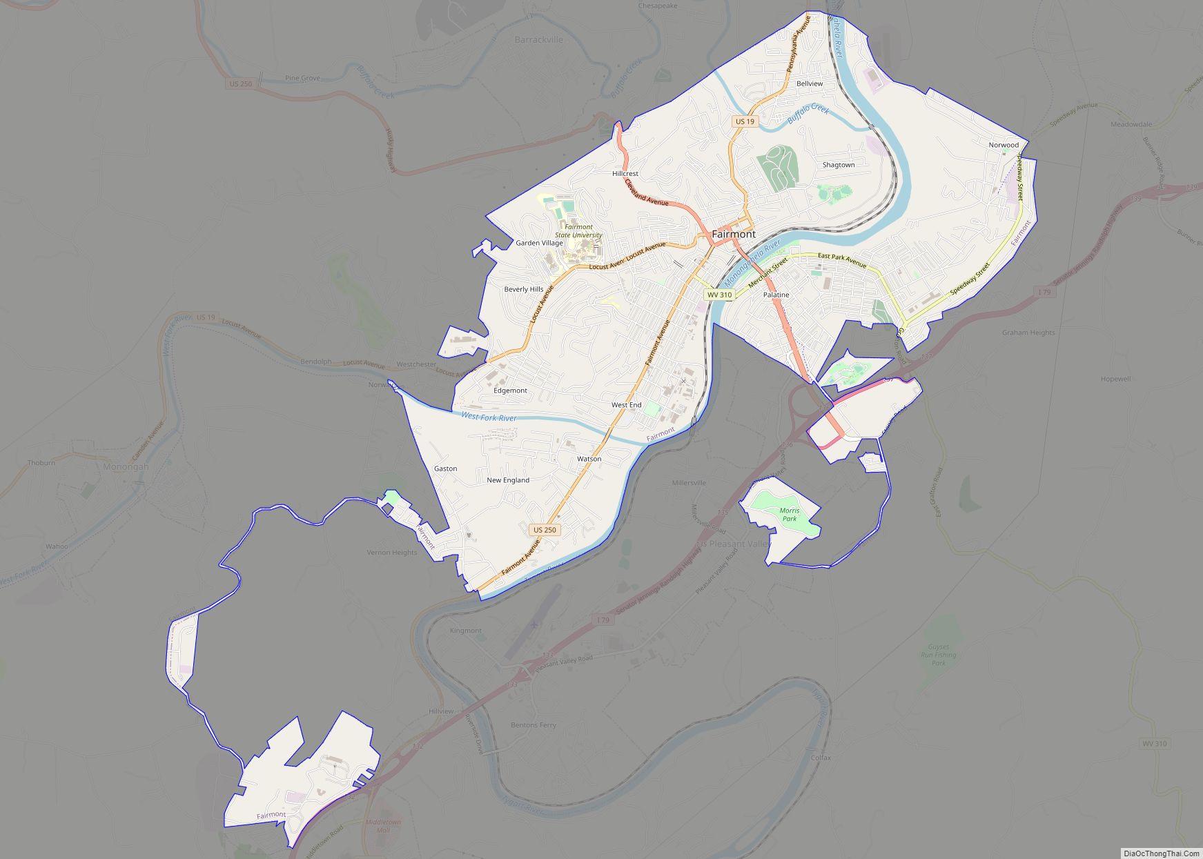
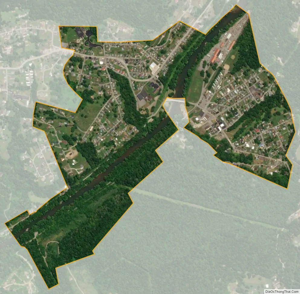
Monongah city Satellite Map
Geography
Monongah is located at 39°27′45″N 80°13′06″W / 39.46250°N 80.21833°W / 39.46250; -80.21833 (39.4625, −80.2183).
According to the United States Census Bureau, the town has a total area of 0.53 sq mi (1.37 km), of which 0.49 sq mi (1.27 km) is land and 0.04 sq mi (0.10 km) is water.
For such a small community, Monongah consists of many villages or named neighborhoods. These include East Monongah, Brookdale, Traction Park, Thoburn, Tower Hill and West Monongah. Prior to being incorporated and named “Monongah,” the town was called “Briartown.” It is often considered to be the unofficial capital of small coal mining towns.
Not only does the West Fork (of the Monongahela River) run through the middle of Monongah but Booths Creek (named for Continental Army James Booth, who was killed by Indians in 1778) joins the West Fork in Monongah.
See also
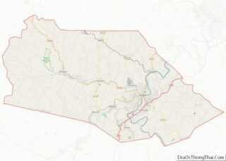
Map of West Virginia State and its subdivision:- Barbour
- Berkeley
- Boone
- Braxton
- Brooke
- Cabell
- Calhoun
- Clay
- Doddridge
- Fayette
- Gilmer
- Grant
- Greenbrier
- Hampshire
- Hancock
- Hardy
- Harrison
- Jackson
- Jefferson
- Kanawha
- Lewis
- Lincoln
- Logan
- Marion
- Marshall
- Mason
- McDowell
- Mercer
- Mineral
- Mingo
- Monongalia
- Monroe
- Morgan
- Nicholas
- Ohio
- Pendleton
- Pleasants
- Pocahontas
- Preston
- Putnam
- Raleigh
- Randolph
- Ritchie
- Roane
- Summers
- Taylor
- Tucker
- Tyler
- Upshur
- Wayne
- Webster
- Wetzel
- Wirt
- Wood
- Wyoming
- Alabama
- Alaska
- Arizona
- Arkansas
- California
- Colorado
- Connecticut
- Delaware
- District of Columbia
- Florida
- Georgia
- Hawaii
- Idaho
- Illinois
- Indiana
- Iowa
- Kansas
- Kentucky
- Louisiana
- Maine
- Maryland
- Massachusetts
- Michigan
- Minnesota
- Mississippi
- Missouri
- Montana
- Nebraska
- Nevada
- New Hampshire
- New Jersey
- New Mexico
- New York
- North Carolina
- North Dakota
- Ohio
- Oklahoma
- Oregon
- Pennsylvania
- Rhode Island
- South Carolina
- South Dakota
- Tennessee
- Texas
- Utah
- Vermont
- Virginia
- Washington
- West Virginia
- Wisconsin
- Wyoming