Mount Hope is a city in Fayette County, West Virginia, United States. The population was 1,414 at the 2010 census.
| Name: | Mount Hope city |
|---|---|
| LSAD Code: | 25 |
| LSAD Description: | city (suffix) |
| State: | West Virginia |
| County: | Fayette County |
| Elevation: | 1,722 ft (525 m) |
| Total Area: | 1.56 sq mi (4.03 km²) |
| Land Area: | 1.56 sq mi (4.03 km²) |
| Water Area: | 0.00 sq mi (0.00 km²) |
| Total Population: | 1,414 |
| Population Density: | 818.24/sq mi (315.97/km²) |
| ZIP code: | 25880 |
| Area code: | 304 |
| FIPS code: | 5456404 |
| GNISfeature ID: | 1543656 |
| Website: | mthopewv.org |
Online Interactive Map
Click on ![]() to view map in "full screen" mode.
to view map in "full screen" mode.
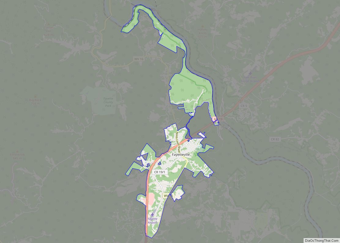
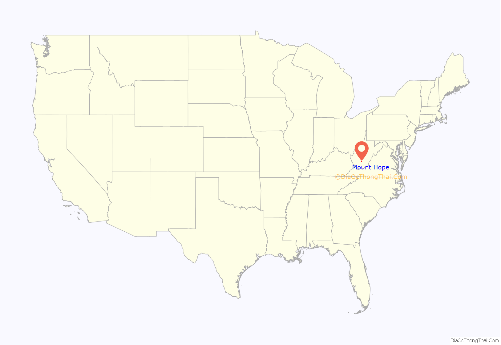
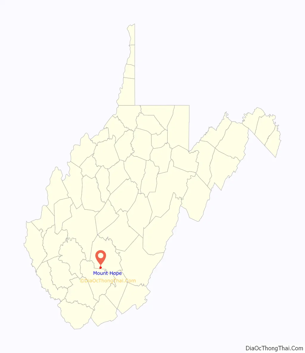
Mount Hope location map. Where is Mount Hope city?
History
The community took its name from the local Mount Hope School.
The Mount Hope Historic District and New River Company General Office Building are listed on the National Register of Historic Places.
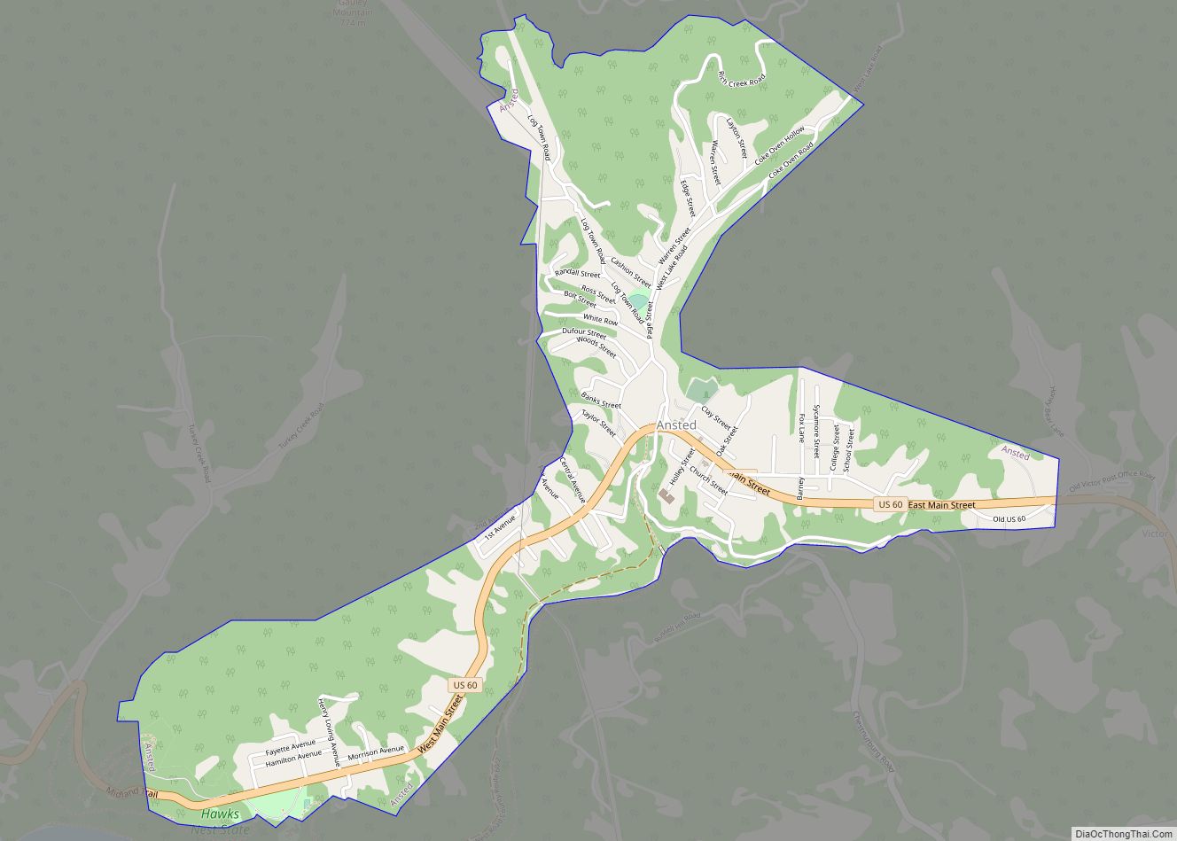
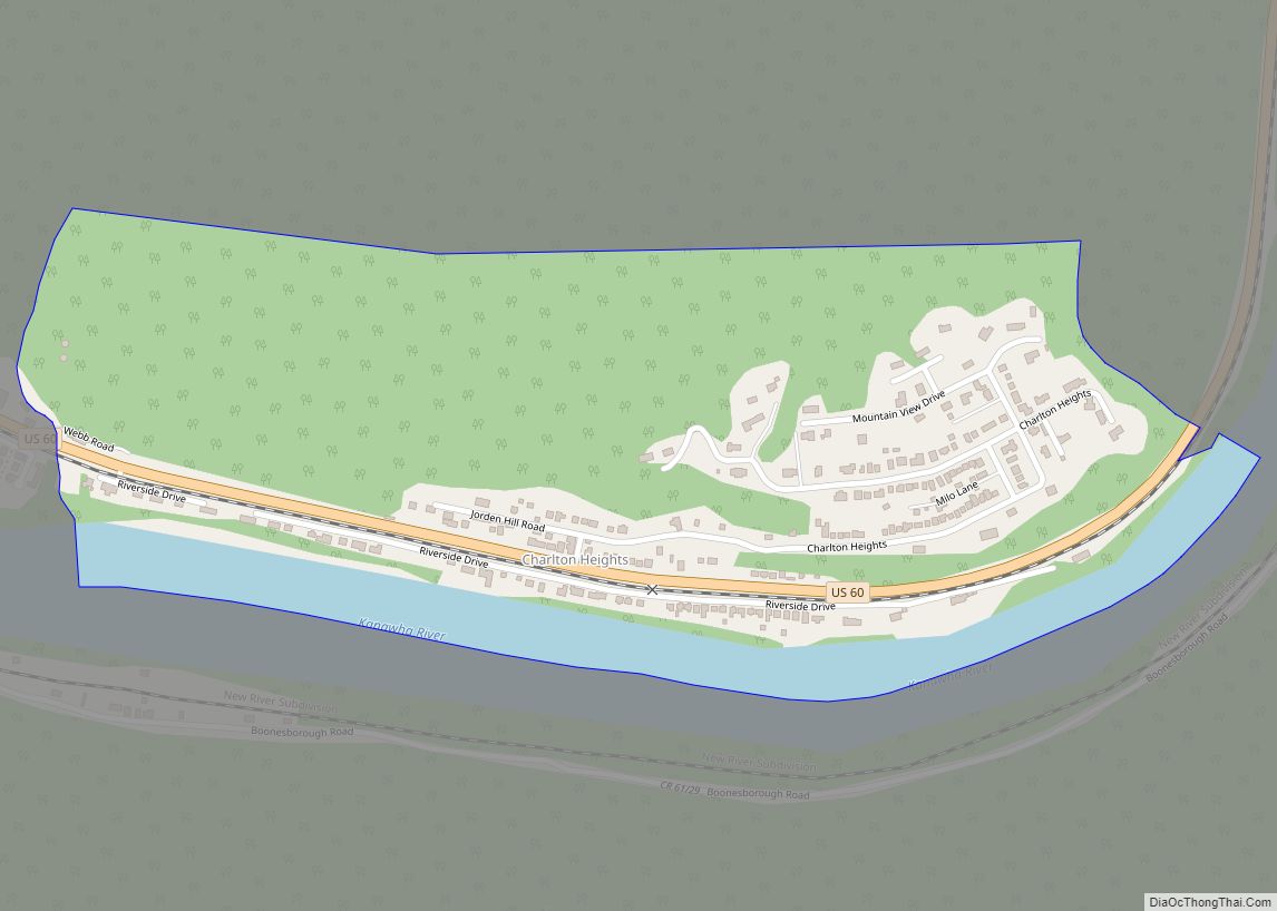
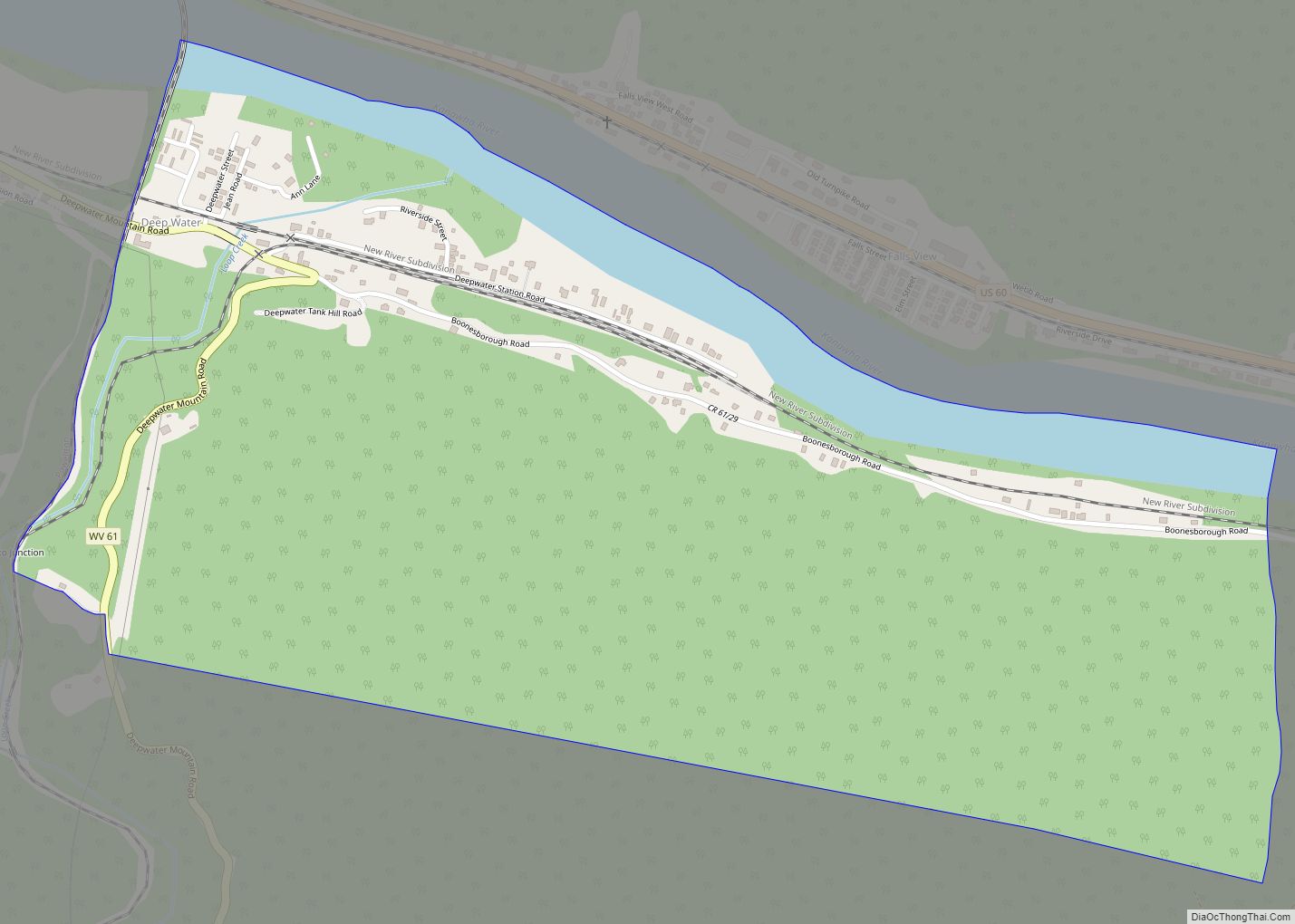
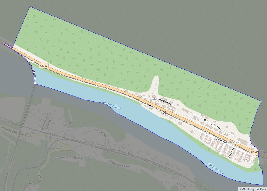
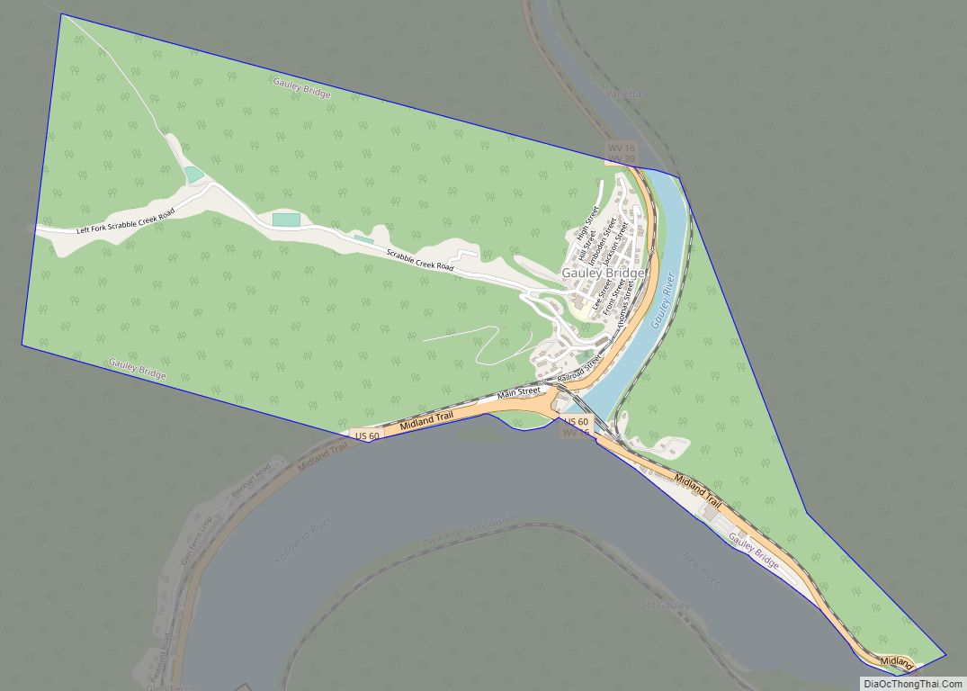
Mount Hope Road Map
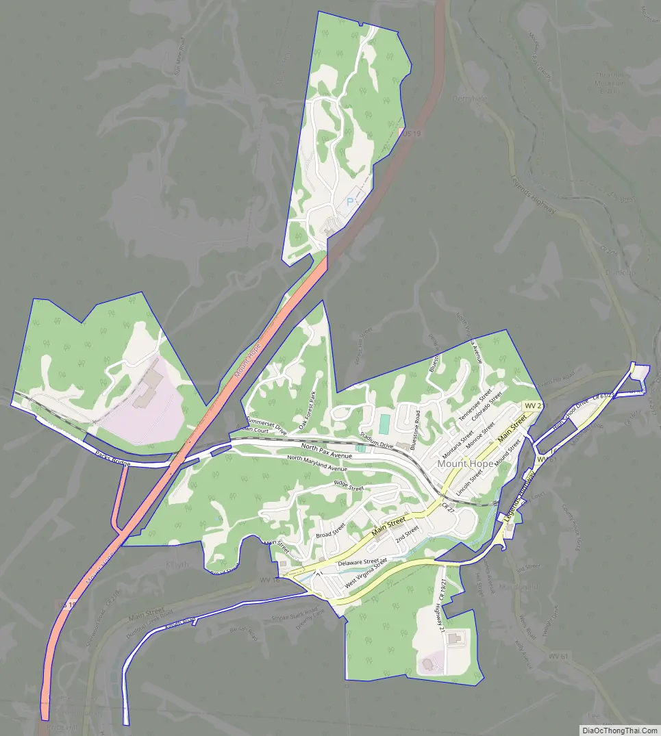
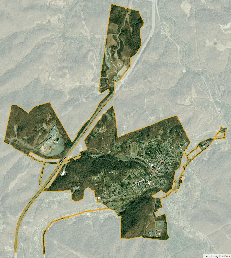
Mount Hope city Satellite Map
Geography
Mount Hope is located at 37°53′33″N 81°10′4″W / 37.89250°N 81.16778°W / 37.89250; -81.16778 (37.892595, -81.167687).
According to the United States Census Bureau, the city has a total area of 1.33 square miles (3.44 km), all land.
See also
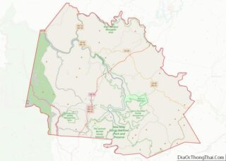
Map of West Virginia State and its subdivision:- Barbour
- Berkeley
- Boone
- Braxton
- Brooke
- Cabell
- Calhoun
- Clay
- Doddridge
- Fayette
- Gilmer
- Grant
- Greenbrier
- Hampshire
- Hancock
- Hardy
- Harrison
- Jackson
- Jefferson
- Kanawha
- Lewis
- Lincoln
- Logan
- Marion
- Marshall
- Mason
- McDowell
- Mercer
- Mineral
- Mingo
- Monongalia
- Monroe
- Morgan
- Nicholas
- Ohio
- Pendleton
- Pleasants
- Pocahontas
- Preston
- Putnam
- Raleigh
- Randolph
- Ritchie
- Roane
- Summers
- Taylor
- Tucker
- Tyler
- Upshur
- Wayne
- Webster
- Wetzel
- Wirt
- Wood
- Wyoming
- Alabama
- Alaska
- Arizona
- Arkansas
- California
- Colorado
- Connecticut
- Delaware
- District of Columbia
- Florida
- Georgia
- Hawaii
- Idaho
- Illinois
- Indiana
- Iowa
- Kansas
- Kentucky
- Louisiana
- Maine
- Maryland
- Massachusetts
- Michigan
- Minnesota
- Mississippi
- Missouri
- Montana
- Nebraska
- Nevada
- New Hampshire
- New Jersey
- New Mexico
- New York
- North Carolina
- North Dakota
- Ohio
- Oklahoma
- Oregon
- Pennsylvania
- Rhode Island
- South Carolina
- South Dakota
- Tennessee
- Texas
- Utah
- Vermont
- Virginia
- Washington
- West Virginia
- Wisconsin
- Wyoming