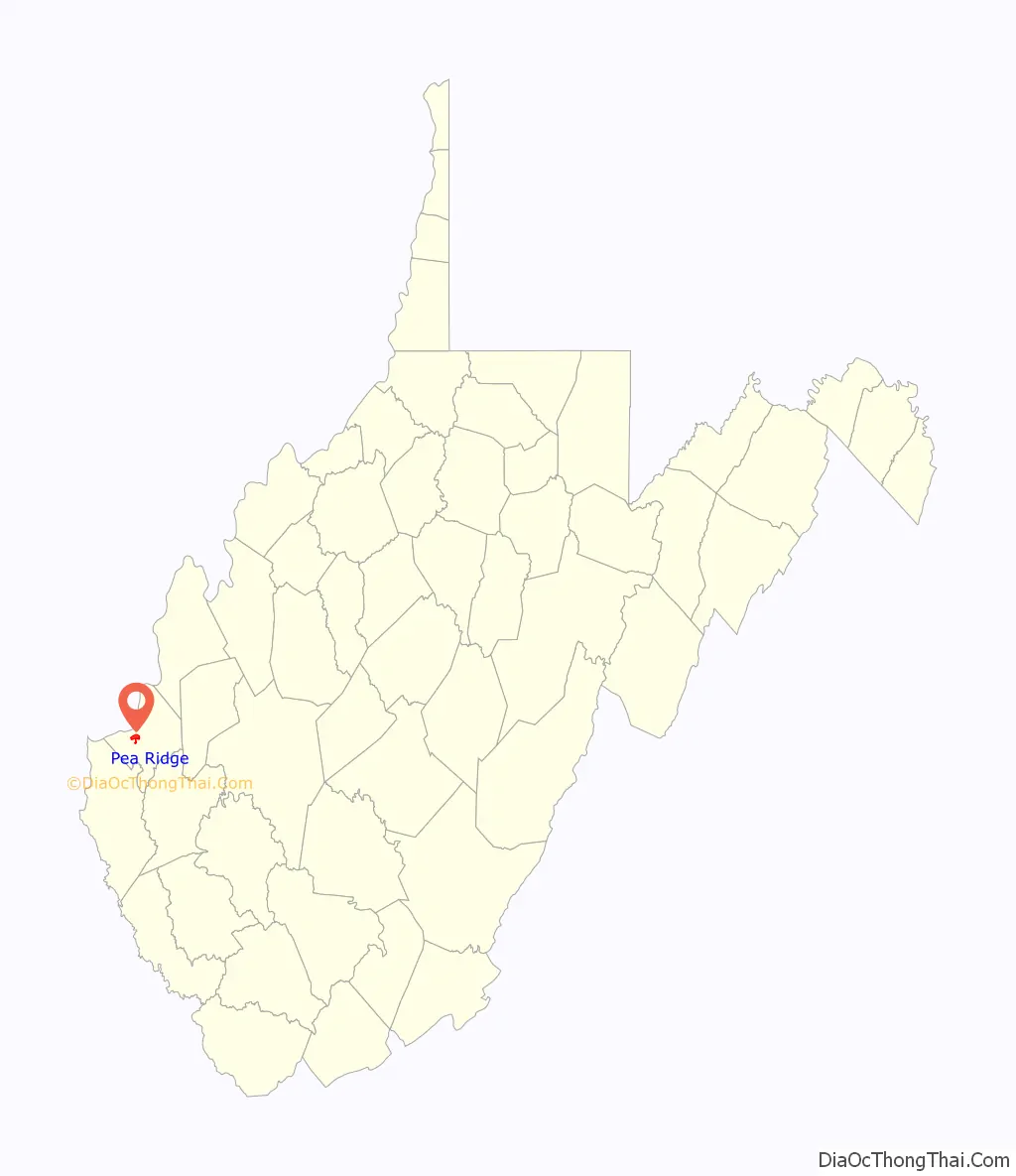
Pea Ridge is a census-designated place in Cabell County, West Virginia, United States. As of the 2020 census, the population was 6,602. It is part of the Huntington–Ashland metropolitan area.
| Name: | Pea Ridge CDP |
|---|---|
| LSAD Code: | 57 |
| LSAD Description: | CDP (suffix) |
| State: | West Virginia |
| County: | Cabell County |
| Elevation: | 627 ft (191 m) |
| Total Area: | 2.3 sq mi (6.1 km²) |
| Land Area: | 2.3 sq mi (5.9 km²) |
| Water Area: | 0.1 sq mi (0.1 km²) |
| Total Population: | 6,650 |
| Population Density: | 2,900/sq mi (1,100/km²) |
| Area code: | 304 |
| FIPS code: | 5462488 |
| GNISfeature ID: | 1867650 |
Online Interactive Map
Click on ![]() to view map in "full screen" mode.
to view map in "full screen" mode.
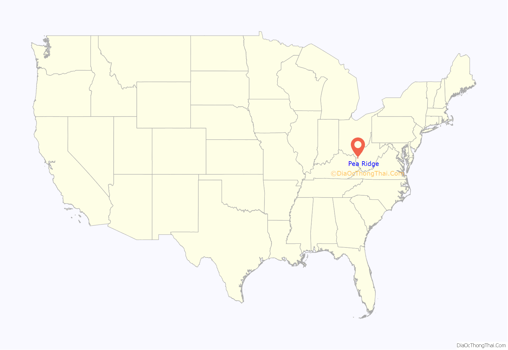
Pea Ridge location map. Where is Pea Ridge CDP?
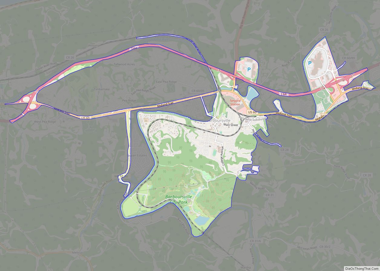
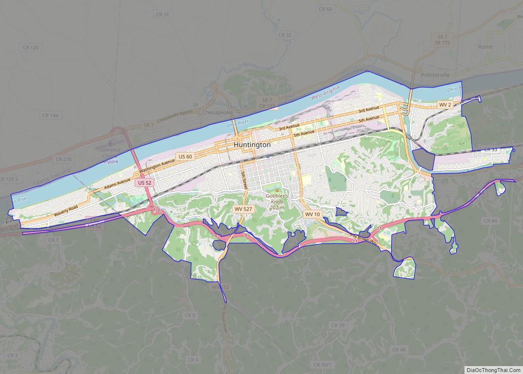
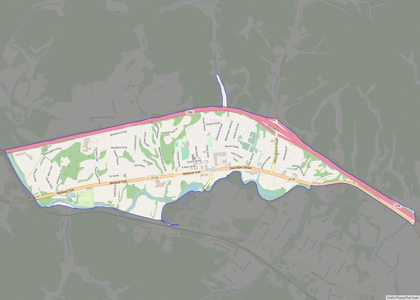
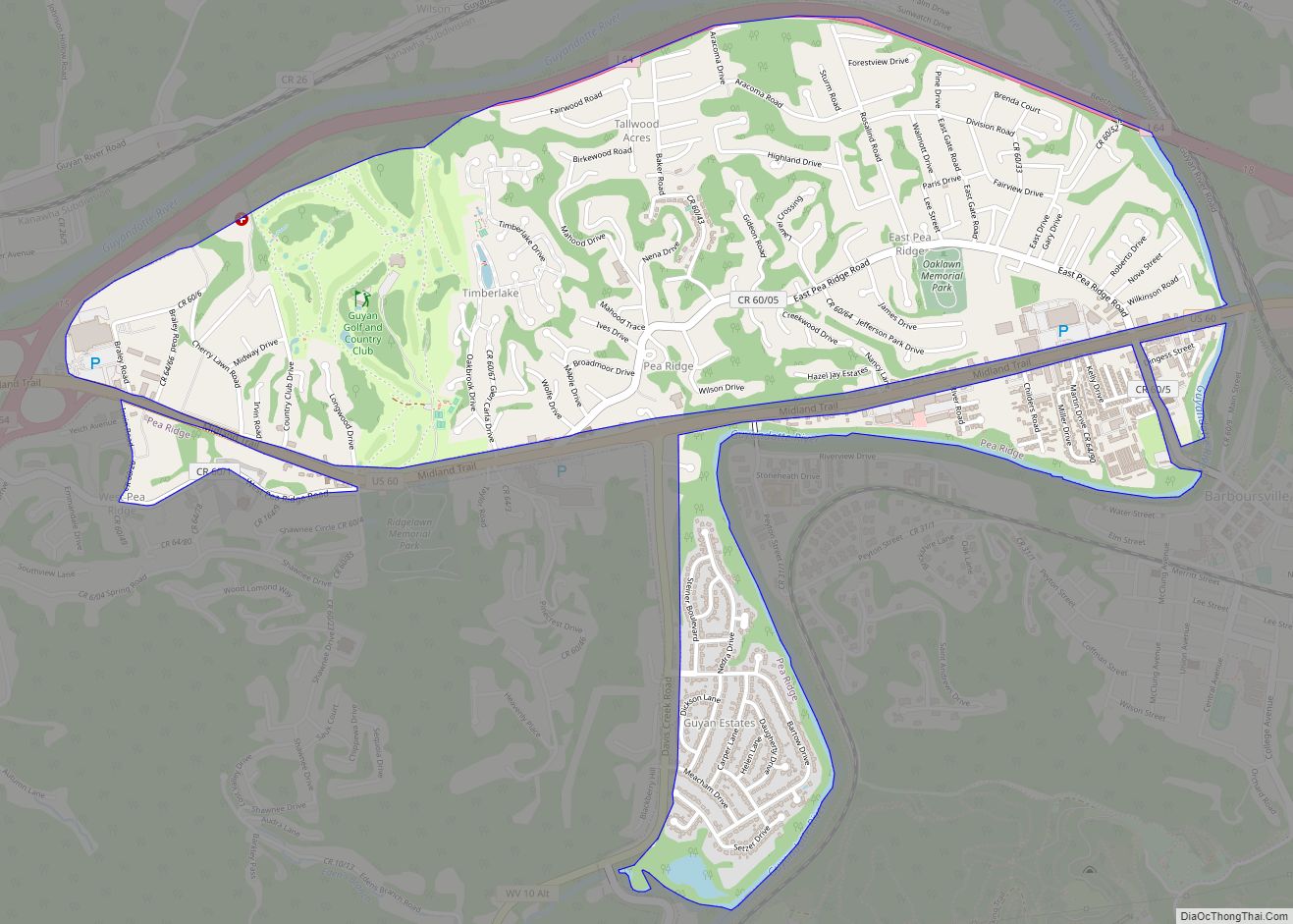
Pea Ridge Road Map

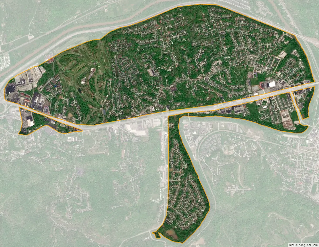
Pea Ridge city Satellite Map
Geography
Pea Ridge is located at 38°24′56″N 82°19′17″W / 38.41556°N 82.32139°W / 38.41556; -82.32139 (38.415668, -82.321367). It is a suburban community to nearby Huntington, West Virginia. It is centered on Pea Ridge Road, running from Barboursville to Altizer, a neighborhood in Huntington. Pea Ridge Road is divided into east and west sections, separated by a short section of Route 60.
According to the United States Census Bureau, the CDP has a total area of 2.3 square miles (6.1 km), of which 2.3 square miles (5.9 km) is land and 0.1 square mile (0.1 km) (2.41%) is water.
See also
Map of West Virginia State and its subdivision:- Barbour
- Berkeley
- Boone
- Braxton
- Brooke
- Cabell
- Calhoun
- Clay
- Doddridge
- Fayette
- Gilmer
- Grant
- Greenbrier
- Hampshire
- Hancock
- Hardy
- Harrison
- Jackson
- Jefferson
- Kanawha
- Lewis
- Lincoln
- Logan
- Marion
- Marshall
- Mason
- McDowell
- Mercer
- Mineral
- Mingo
- Monongalia
- Monroe
- Morgan
- Nicholas
- Ohio
- Pendleton
- Pleasants
- Pocahontas
- Preston
- Putnam
- Raleigh
- Randolph
- Ritchie
- Roane
- Summers
- Taylor
- Tucker
- Tyler
- Upshur
- Wayne
- Webster
- Wetzel
- Wirt
- Wood
- Wyoming
- Alabama
- Alaska
- Arizona
- Arkansas
- California
- Colorado
- Connecticut
- Delaware
- District of Columbia
- Florida
- Georgia
- Hawaii
- Idaho
- Illinois
- Indiana
- Iowa
- Kansas
- Kentucky
- Louisiana
- Maine
- Maryland
- Massachusetts
- Michigan
- Minnesota
- Mississippi
- Missouri
- Montana
- Nebraska
- Nevada
- New Hampshire
- New Jersey
- New Mexico
- New York
- North Carolina
- North Dakota
- Ohio
- Oklahoma
- Oregon
- Pennsylvania
- Rhode Island
- South Carolina
- South Dakota
- Tennessee
- Texas
- Utah
- Vermont
- Virginia
- Washington
- West Virginia
- Wisconsin
- Wyoming