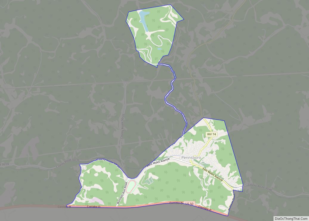
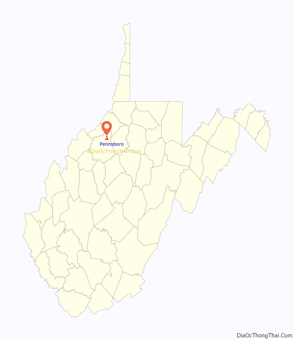
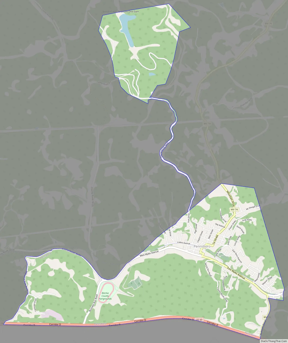
Pennsboro is a city in Ritchie County, West Virginia, United States. The population was 1,050 at the 2020 census. The city is located at the junction of U.S. Route 50 and West Virginia Route 74; the North Bend Rail Trail also passes through the city.
The town was platted circa 1820 by Charles Penn, and named for him.
| Name: | Pennsboro city |
|---|---|
| LSAD Code: | 25 |
| LSAD Description: | city (suffix) |
| State: | West Virginia |
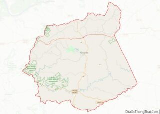
| County: | Ritchie County |
| Elevation: | 866 ft (264 m) |
| Total Area: | 2.72 sq mi (7.05 km²) |
| Land Area: | 2.70 sq mi (6.99 km²) |
| Water Area: | 0.03 sq mi (0.06 km²) |
| Total Population: | 1,050 |
| Population Density: | 371.76/sq mi (143.52/km²) |
| ZIP code: | 26415 |
| Area code: | 304 |
| FIPS code: | 5462764 |
| GNISfeature ID: | 1544704 |
| Website: | local.wv.gov/Pennsboro |
Online Interactive Map
Click on ![]() to view map in "full screen" mode.
to view map in "full screen" mode.
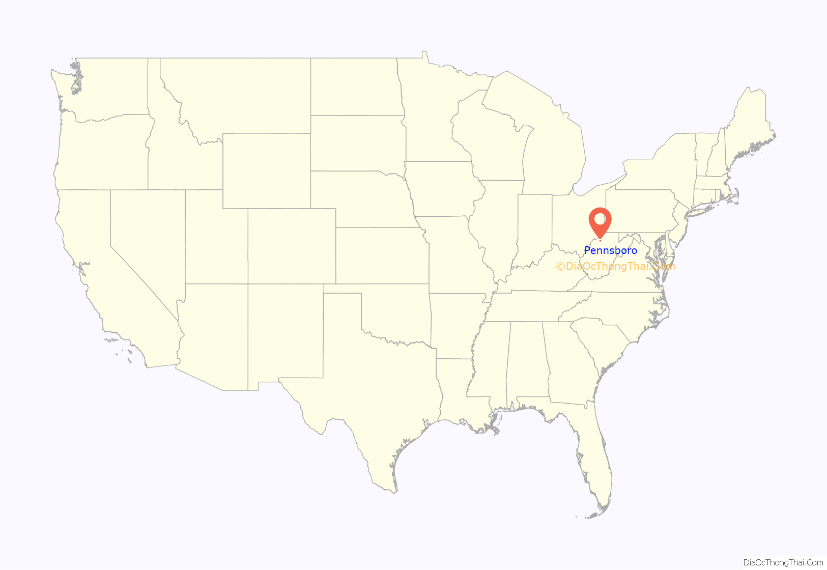
Pennsboro location map. Where is Pennsboro city?
Pennsboro Road Map
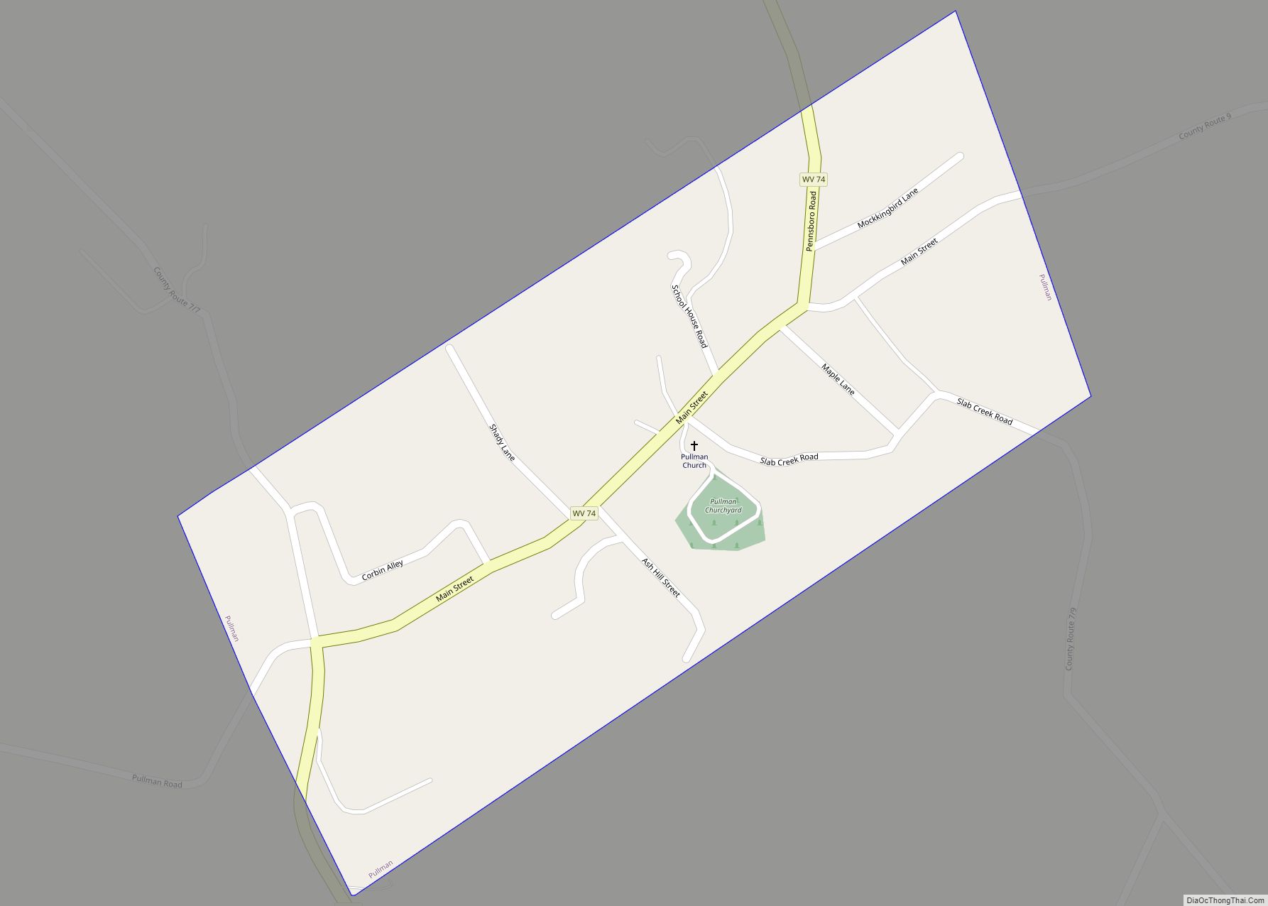
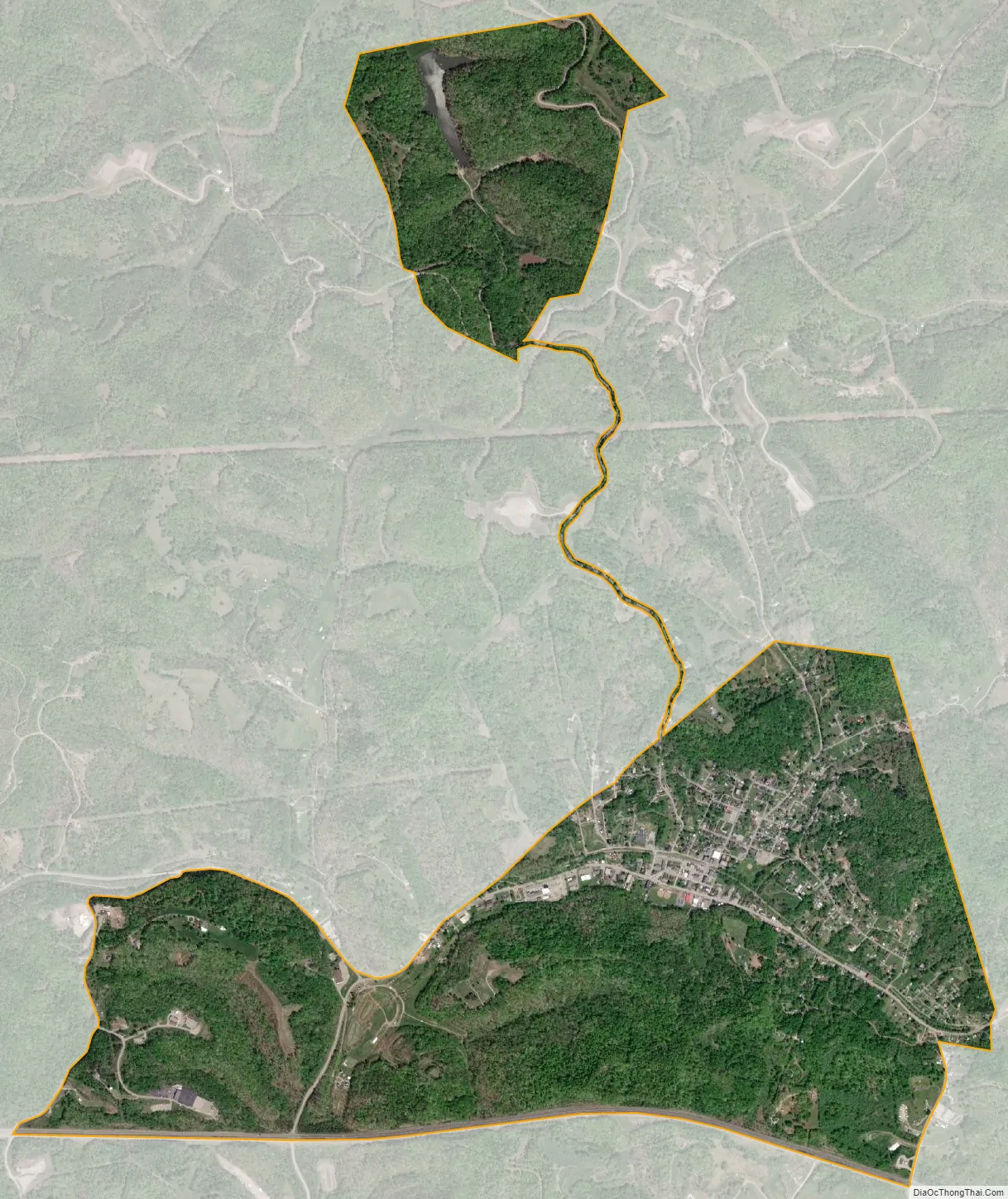
Pennsboro city Satellite Map
Geography
Pennsboro is located at 39°17′1″N 80°58′2″W / 39.28361°N 80.96722°W / 39.28361; -80.96722 (39.283528, -80.967097).
According to the United States Census Bureau, the city has a total area of 2.73 square miles (7.07 km), of which 2.70 square miles (6.99 km) is land and 0.03 square miles (0.08 km) is water.
See also
Map of West Virginia State and its subdivision:- Barbour
- Berkeley
- Boone
- Braxton
- Brooke
- Cabell
- Calhoun
- Clay
- Doddridge
- Fayette
- Gilmer
- Grant
- Greenbrier
- Hampshire
- Hancock
- Hardy
- Harrison
- Jackson
- Jefferson
- Kanawha
- Lewis
- Lincoln
- Logan
- Marion
- Marshall
- Mason
- McDowell
- Mercer
- Mineral
- Mingo
- Monongalia
- Monroe
- Morgan
- Nicholas
- Ohio
- Pendleton
- Pleasants
- Pocahontas
- Preston
- Putnam
- Raleigh
- Randolph
- Ritchie
- Roane
- Summers
- Taylor
- Tucker
- Tyler
- Upshur
- Wayne
- Webster
- Wetzel
- Wirt
- Wood
- Wyoming
- Alabama
- Alaska
- Arizona
- Arkansas
- California
- Colorado
- Connecticut
- Delaware
- District of Columbia
- Florida
- Georgia
- Hawaii
- Idaho
- Illinois
- Indiana
- Iowa
- Kansas
- Kentucky
- Louisiana
- Maine
- Maryland
- Massachusetts
- Michigan
- Minnesota
- Mississippi
- Missouri
- Montana
- Nebraska
- Nevada
- New Hampshire
- New Jersey
- New Mexico
- New York
- North Carolina
- North Dakota
- Ohio
- Oklahoma
- Oregon
- Pennsylvania
- Rhode Island
- South Carolina
- South Dakota
- Tennessee
- Texas
- Utah
- Vermont
- Virginia
- Washington
- West Virginia
- Wisconsin
- Wyoming