Pleasant Valley is a city in Marion County, West Virginia, United States. The population was 3,506 at the 2020 census.
| Name: | Pleasant Valley city |
|---|---|
| LSAD Code: | 25 |
| LSAD Description: | city (suffix) |
| State: | West Virginia |
| County: | Marion County |
| Elevation: | 1,030 ft (314 m) |
| Total Area: | 3.41 sq mi (8.82 km²) |
| Land Area: | 3.23 sq mi (8.37 km²) |
| Water Area: | 0.18 sq mi (0.45 km²) |
| Total Population: | 3,506 |
| Population Density: | 972.14/sq mi (375.35/km²) |
| ZIP code: | 26554-26555 |
| Area code: | 304 |
| FIPS code: | 5464228 |
| GNISfeature ID: | 1555370 |
| Website: | http://www.cityofpleasantvalley.com |
Online Interactive Map
Click on ![]() to view map in "full screen" mode.
to view map in "full screen" mode.
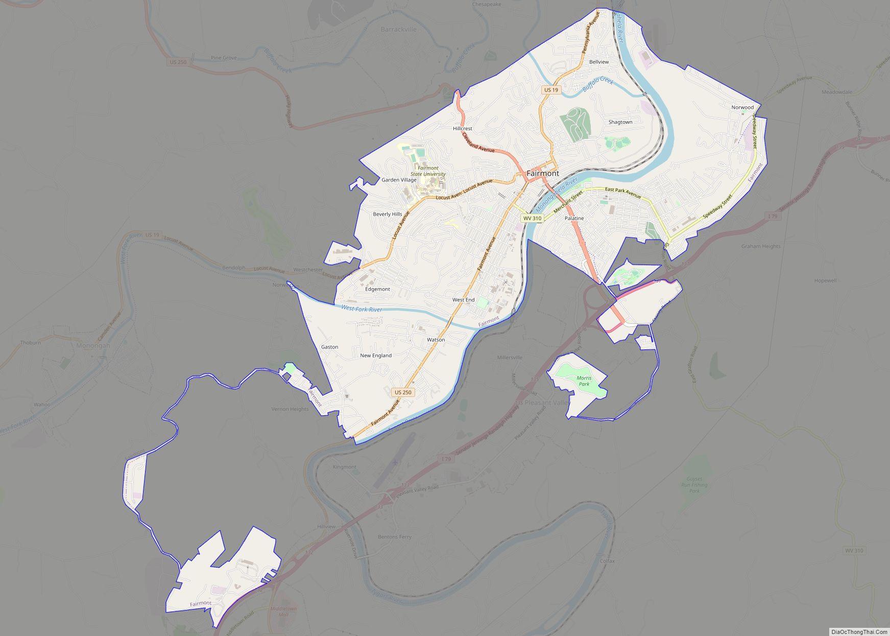
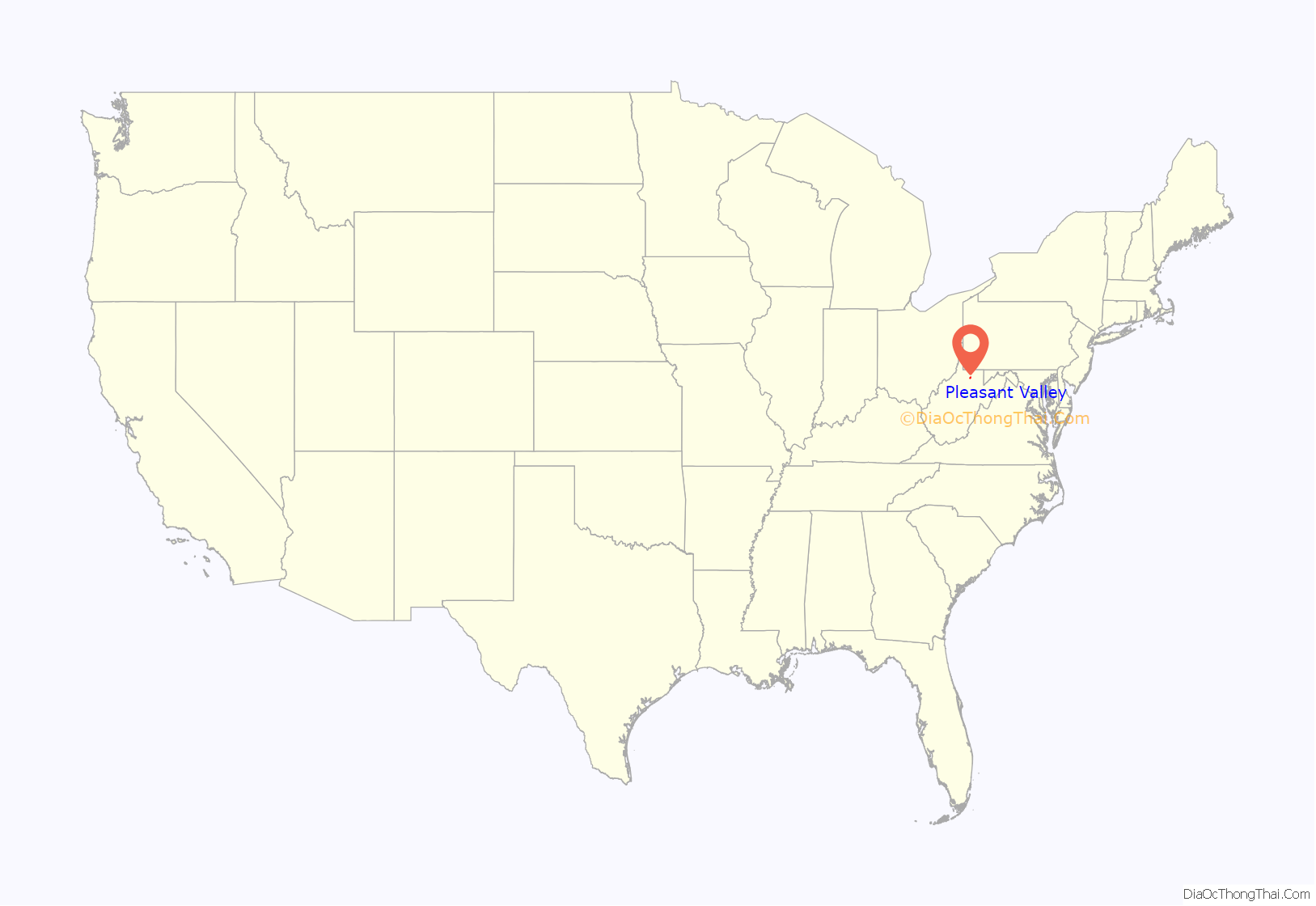
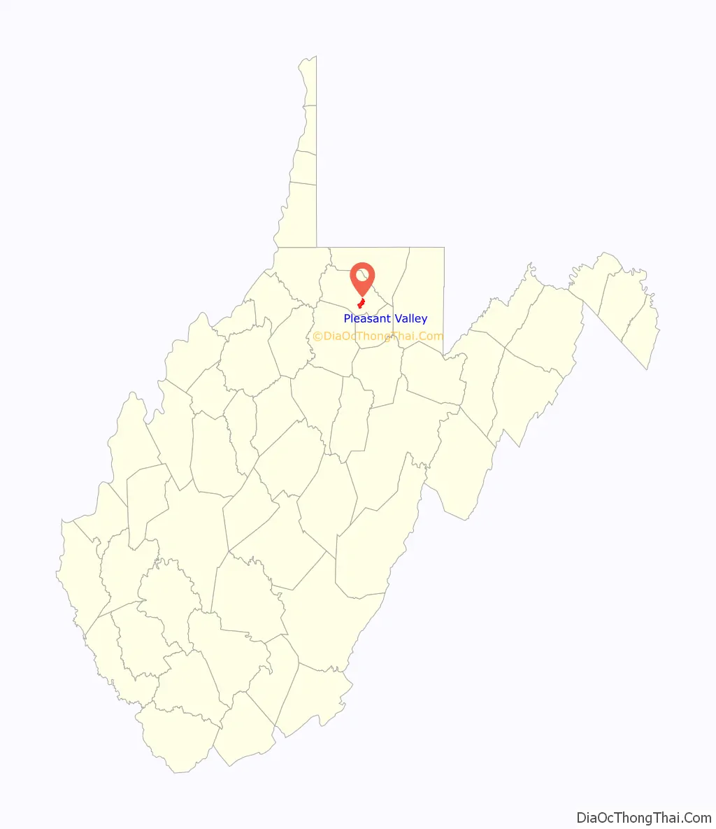
Pleasant Valley location map. Where is Pleasant Valley city?
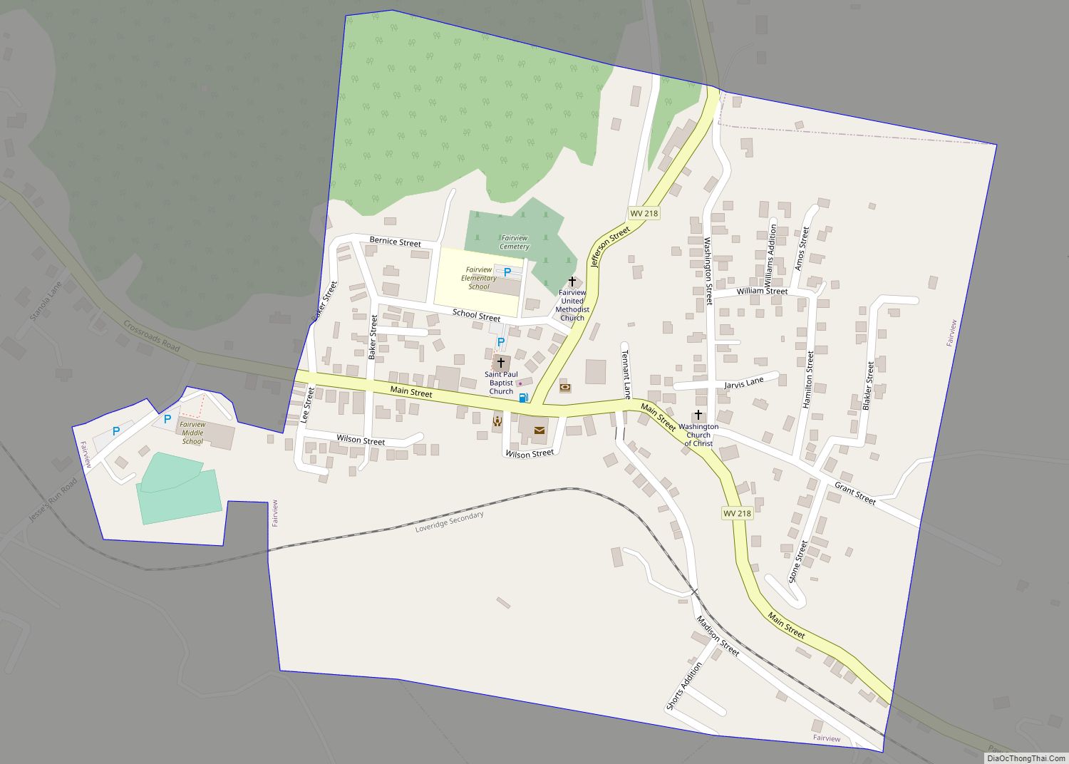
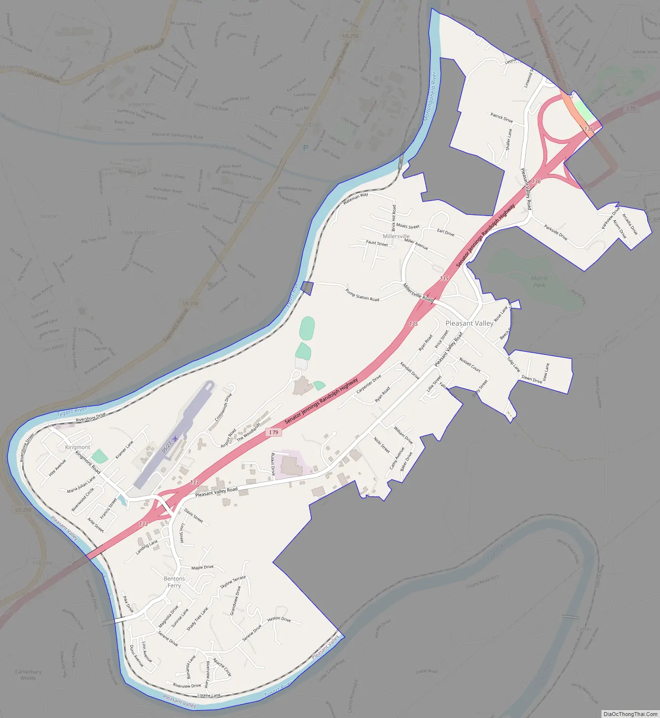
Pleasant Valley Road Map
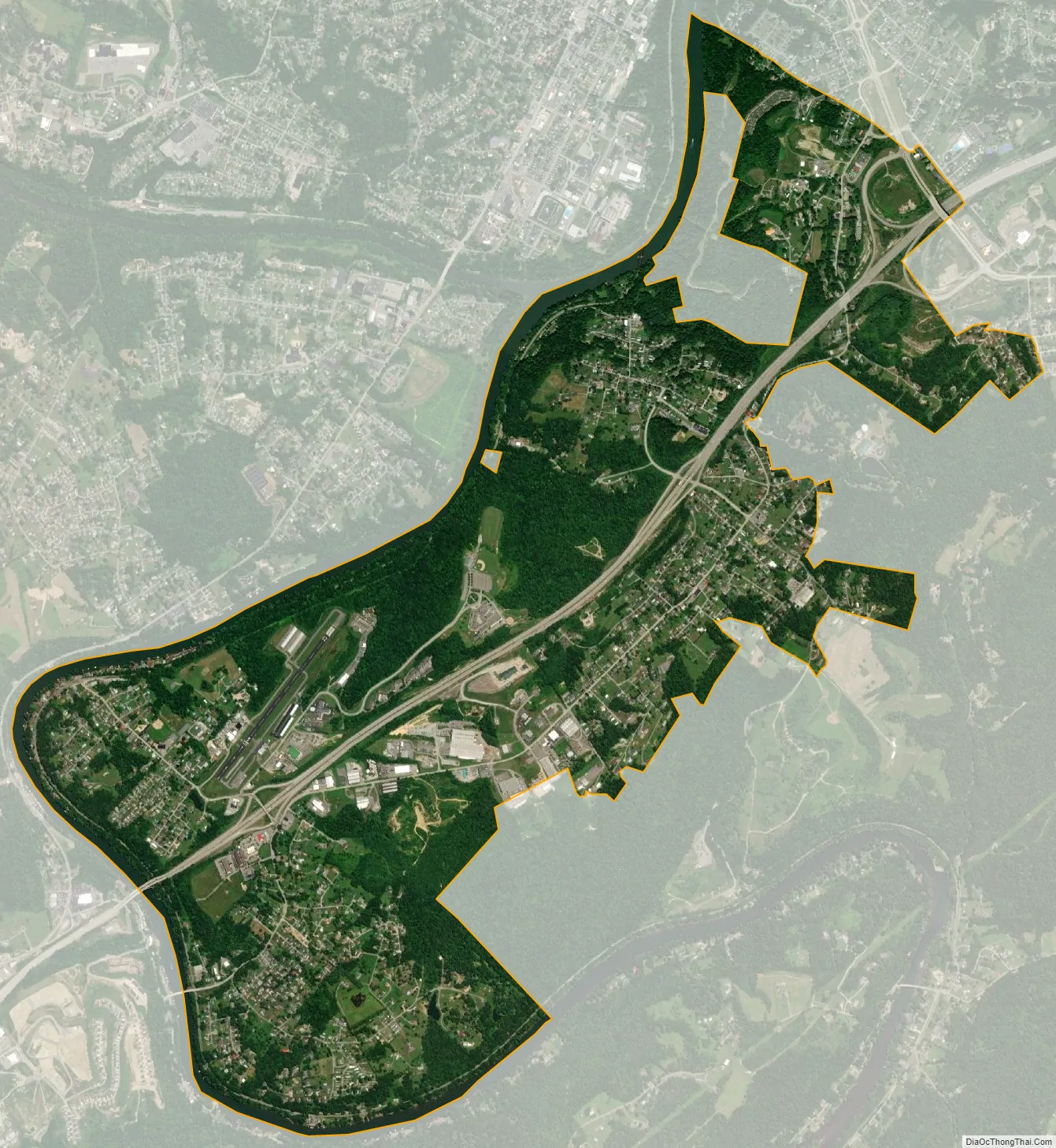
Pleasant Valley city Satellite Map
Geography
Pleasant Valley is located at 39°27′5″N 80°8′57″W / 39.45139°N 80.14917°W / 39.45139; -80.14917 (39.451522, -80.149085). It is immediately south of the larger city and county seat of Fairmont, West Virginia. The city is also adjacent to the Tygart Valley River.
According to the United States Census Bureau, the city has a total area of 3.41 square miles (8.83 km), of which 3.23 square miles (8.37 km) is land and 0.18 square miles (0.47 km) is water.
Transportation
- Interstate 79
- Fairmont Municipal – Frankman Field Airport (FAA Code 4G7)
See also
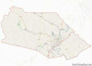
Map of West Virginia State and its subdivision:- Barbour
- Berkeley
- Boone
- Braxton
- Brooke
- Cabell
- Calhoun
- Clay
- Doddridge
- Fayette
- Gilmer
- Grant
- Greenbrier
- Hampshire
- Hancock
- Hardy
- Harrison
- Jackson
- Jefferson
- Kanawha
- Lewis
- Lincoln
- Logan
- Marion
- Marshall
- Mason
- McDowell
- Mercer
- Mineral
- Mingo
- Monongalia
- Monroe
- Morgan
- Nicholas
- Ohio
- Pendleton
- Pleasants
- Pocahontas
- Preston
- Putnam
- Raleigh
- Randolph
- Ritchie
- Roane
- Summers
- Taylor
- Tucker
- Tyler
- Upshur
- Wayne
- Webster
- Wetzel
- Wirt
- Wood
- Wyoming
- Alabama
- Alaska
- Arizona
- Arkansas
- California
- Colorado
- Connecticut
- Delaware
- District of Columbia
- Florida
- Georgia
- Hawaii
- Idaho
- Illinois
- Indiana
- Iowa
- Kansas
- Kentucky
- Louisiana
- Maine
- Maryland
- Massachusetts
- Michigan
- Minnesota
- Mississippi
- Missouri
- Montana
- Nebraska
- Nevada
- New Hampshire
- New Jersey
- New Mexico
- New York
- North Carolina
- North Dakota
- Ohio
- Oklahoma
- Oregon
- Pennsylvania
- Rhode Island
- South Carolina
- South Dakota
- Tennessee
- Texas
- Utah
- Vermont
- Virginia
- Washington
- West Virginia
- Wisconsin
- Wyoming