Rowlesburg is a town in southern Preston County, West Virginia, United States, along the Cheat River. The population was 438 at the 2020 census. It is part of the Morgantown metropolitan area. A former railroad town, it is home to the Downtown Rowlesburg Historic District, and was the site of action during the American Civil War.
| Name: | Rowlesburg town |
|---|---|
| LSAD Code: | 43 |
| LSAD Description: | town (suffix) |
| State: | West Virginia |
| County: | Preston County |
| Elevation: | 1,385 ft (422 m) |
| Total Area: | 1.10 sq mi (2.84 km²) |
| Land Area: | 1.01 sq mi (2.62 km²) |
| Water Area: | 0.09 sq mi (0.22 km²) |
| Total Population: | 438 |
| Population Density: | 565.78/sq mi (218.55/km²) |
| ZIP code: | 26425 |
| Area code: | 304 |
| FIPS code: | 5470588 |
| GNISfeature ID: | 1552749 |
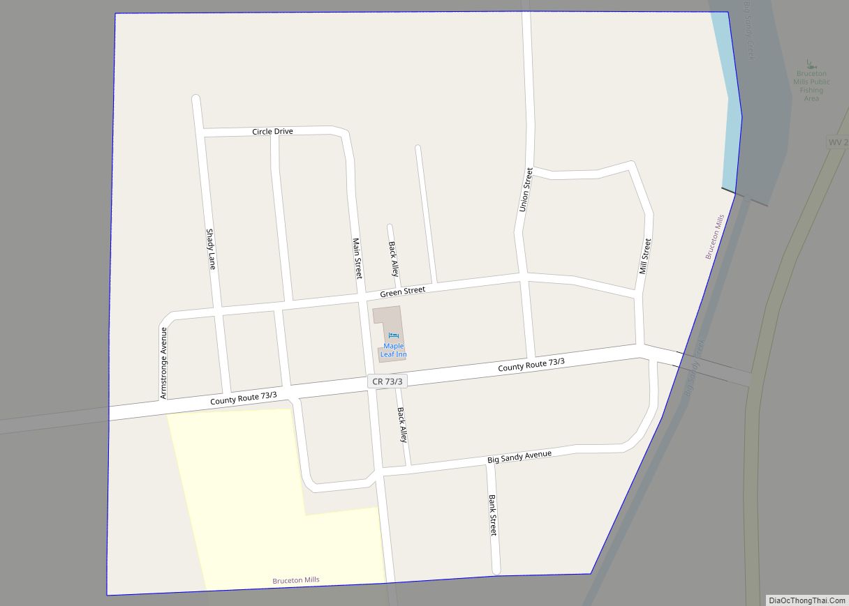
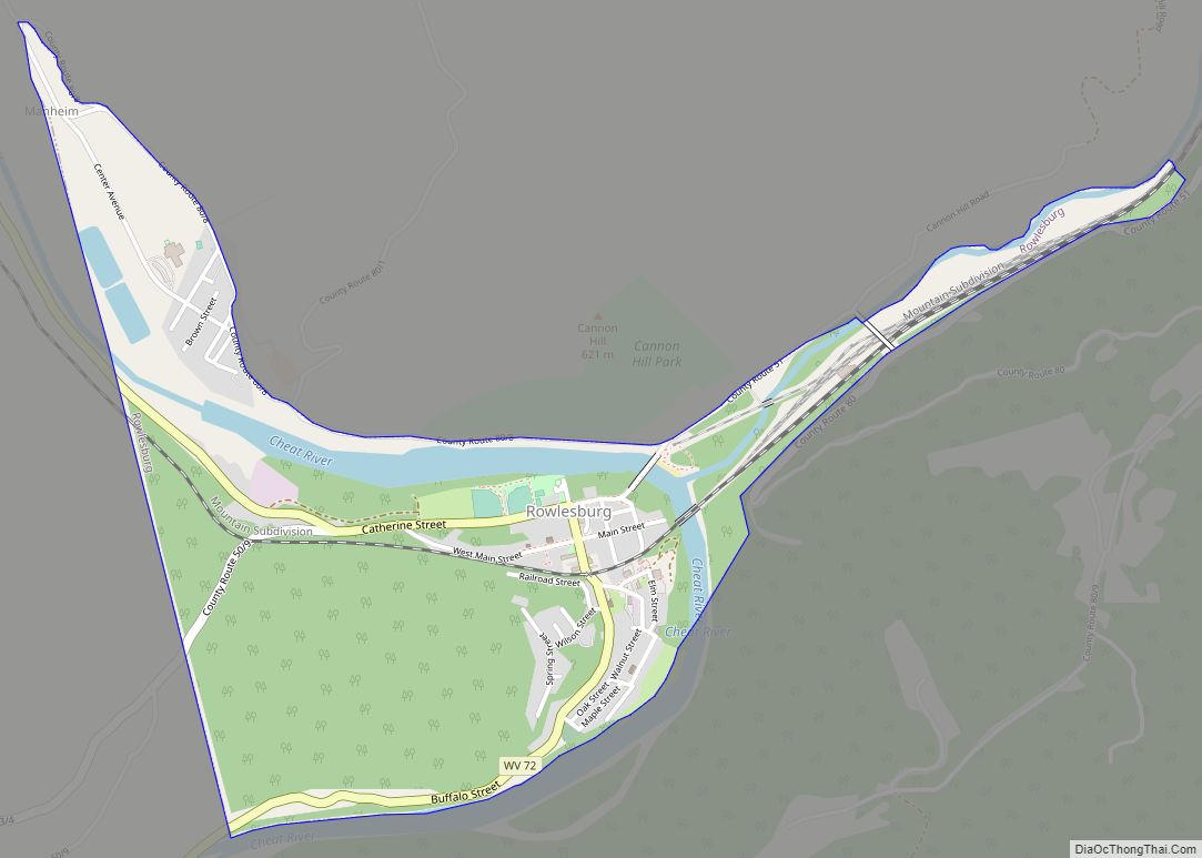
Online Interactive Map
Click on ![]() to view map in "full screen" mode.
to view map in "full screen" mode.
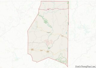
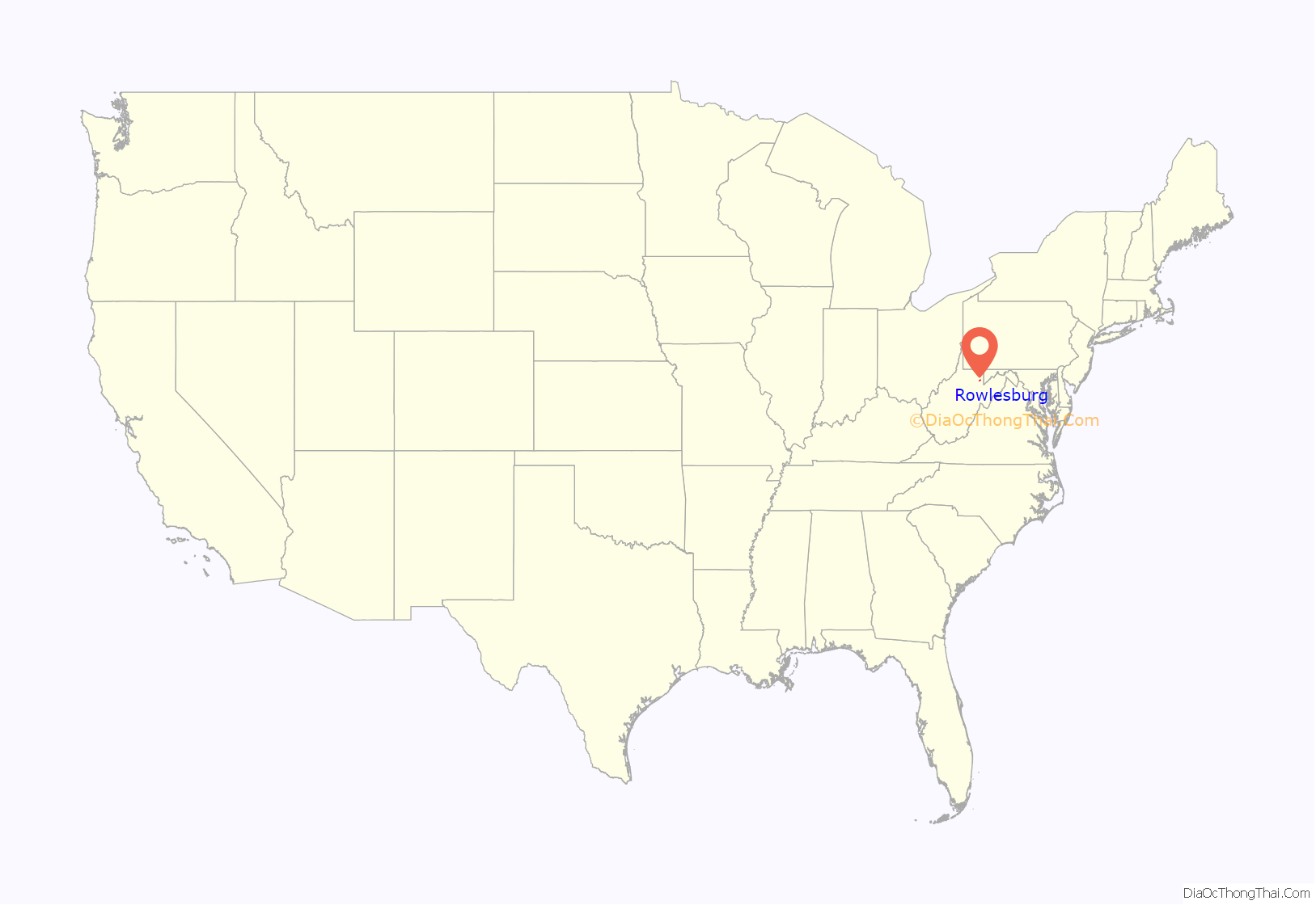
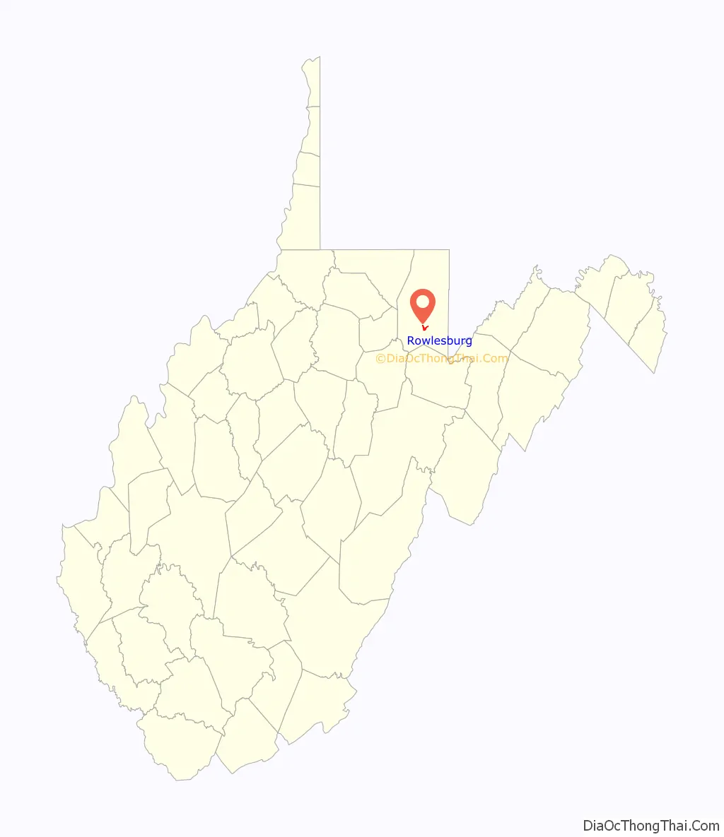
Rowlesburg location map. Where is Rowlesburg town?
History
Rowlesburg was incorporated as a town in 1858. It was named for Thomas Rowles, a railroad engineer.
During the American Civil War, its two Baltimore and Ohio Railroad bridges crossing the Cheat River and Tray Run were of great strategic importance. Confederate troops led by General Robert S. Garnett failed to reach Rowlesburg in 1861, but the 1863 Jones–Imboden Raid did reach the town. However, Union troops and townsmen called out of their churches on Sunday morning, April 26, 1863 successfully defended the town and “Lincoln’s lifeline,” so General William E. Jones retreated and later court-martialed a subordinate.
The Downtown Rowlesburg Historic District was listed on the National Register of Historic Places in 2005.
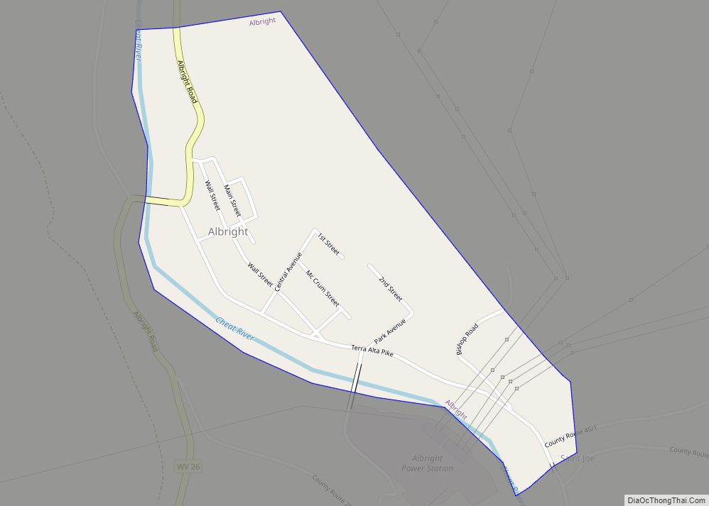
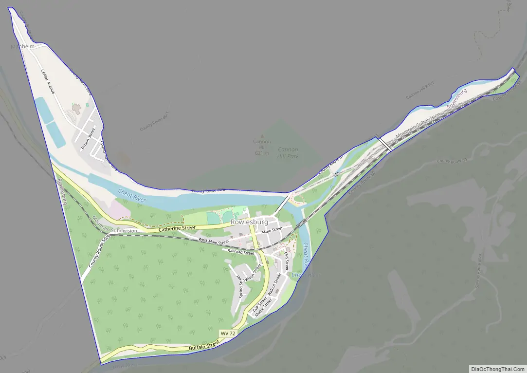
Rowlesburg Road Map
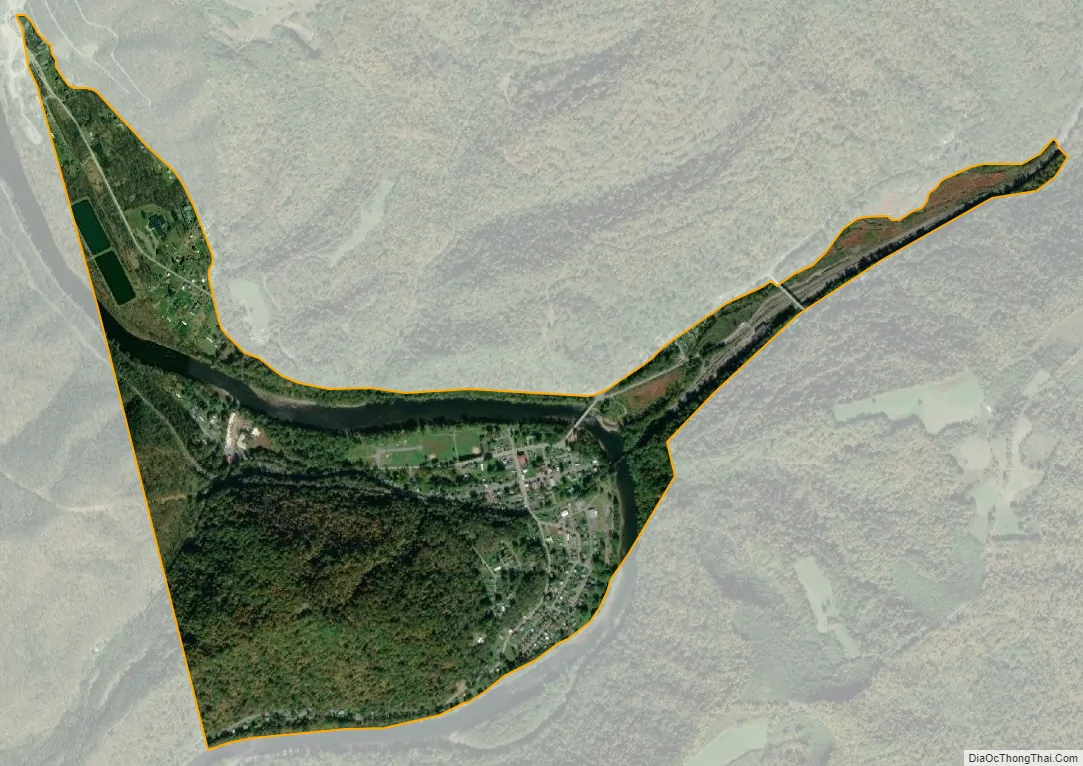
Rowlesburg city Satellite Map
Geography
Rowlesburg is located at 39°21′0″N 79°40′22″W / 39.35000°N 79.67278°W / 39.35000; -79.67278 (39.350119, -79.672892).
According to the United States Census Bureau, the town has a total area of 1.10 square miles (2.85 km), of which 1.01 square miles (2.62 km) is land and 0.09 square miles (0.23 km) is water.
Climate
The climate in this area displays significant differences between summer average high temperatures and winter average lows; adequate precipitation falls year round. In winter months, precipitation is often in the form of snow or sleet. According to the Köppen Climate Classification system, Rowlesburg has a continental climate, abbreviated “Dfb” on climate maps.
Flood events
At Rowlesburg, the Cheat River is considered to be at flood stage when the gauge height is 16 feet.
See also
Map of West Virginia State and its subdivision:- Barbour
- Berkeley
- Boone
- Braxton
- Brooke
- Cabell
- Calhoun
- Clay
- Doddridge
- Fayette
- Gilmer
- Grant
- Greenbrier
- Hampshire
- Hancock
- Hardy
- Harrison
- Jackson
- Jefferson
- Kanawha
- Lewis
- Lincoln
- Logan
- Marion
- Marshall
- Mason
- McDowell
- Mercer
- Mineral
- Mingo
- Monongalia
- Monroe
- Morgan
- Nicholas
- Ohio
- Pendleton
- Pleasants
- Pocahontas
- Preston
- Putnam
- Raleigh
- Randolph
- Ritchie
- Roane
- Summers
- Taylor
- Tucker
- Tyler
- Upshur
- Wayne
- Webster
- Wetzel
- Wirt
- Wood
- Wyoming
- Alabama
- Alaska
- Arizona
- Arkansas
- California
- Colorado
- Connecticut
- Delaware
- District of Columbia
- Florida
- Georgia
- Hawaii
- Idaho
- Illinois
- Indiana
- Iowa
- Kansas
- Kentucky
- Louisiana
- Maine
- Maryland
- Massachusetts
- Michigan
- Minnesota
- Mississippi
- Missouri
- Montana
- Nebraska
- Nevada
- New Hampshire
- New Jersey
- New Mexico
- New York
- North Carolina
- North Dakota
- Ohio
- Oklahoma
- Oregon
- Pennsylvania
- Rhode Island
- South Carolina
- South Dakota
- Tennessee
- Texas
- Utah
- Vermont
- Virginia
- Washington
- West Virginia
- Wisconsin
- Wyoming