Kingwood is a city in and the county seat of Preston County, West Virginia, United States. The population was 2,980 at the 2020 census. The city sits within the Allegheny Mountains above the Cheat River valley. It is part of the Morgantown metropolitan area.
| Name: | Kingwood city |
|---|---|
| LSAD Code: | 25 |
| LSAD Description: | city (suffix) |
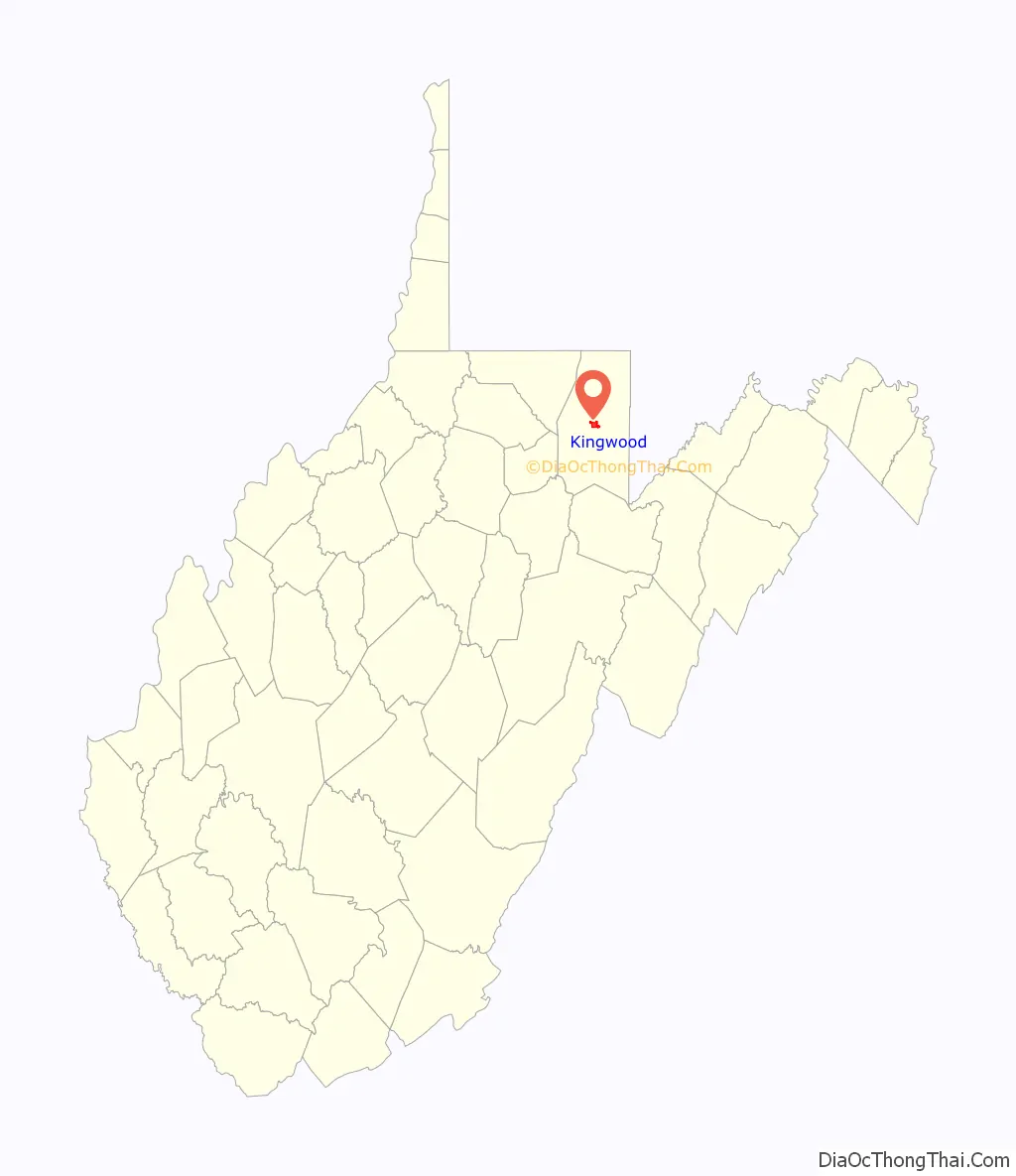
| State: | West Virginia |
| County: | Preston County |
| Elevation: | 1,814 ft (553 m) |
| Total Area: | 2.43 sq mi (6.29 km²) |
| Land Area: | 2.43 sq mi (6.29 km²) |
| Water Area: | 0.00 sq mi (0.00 km²) |
| Total Population: | 2,980 |
| Population Density: | 1,258.02/sq mi (485.73/km²) |
| ZIP code: | 26519, 26537 |
| Area code: | 304 |
| FIPS code: | 5444044 |
| GNISfeature ID: | 1541229 |
| Website: | www.kingwoodwv.org |
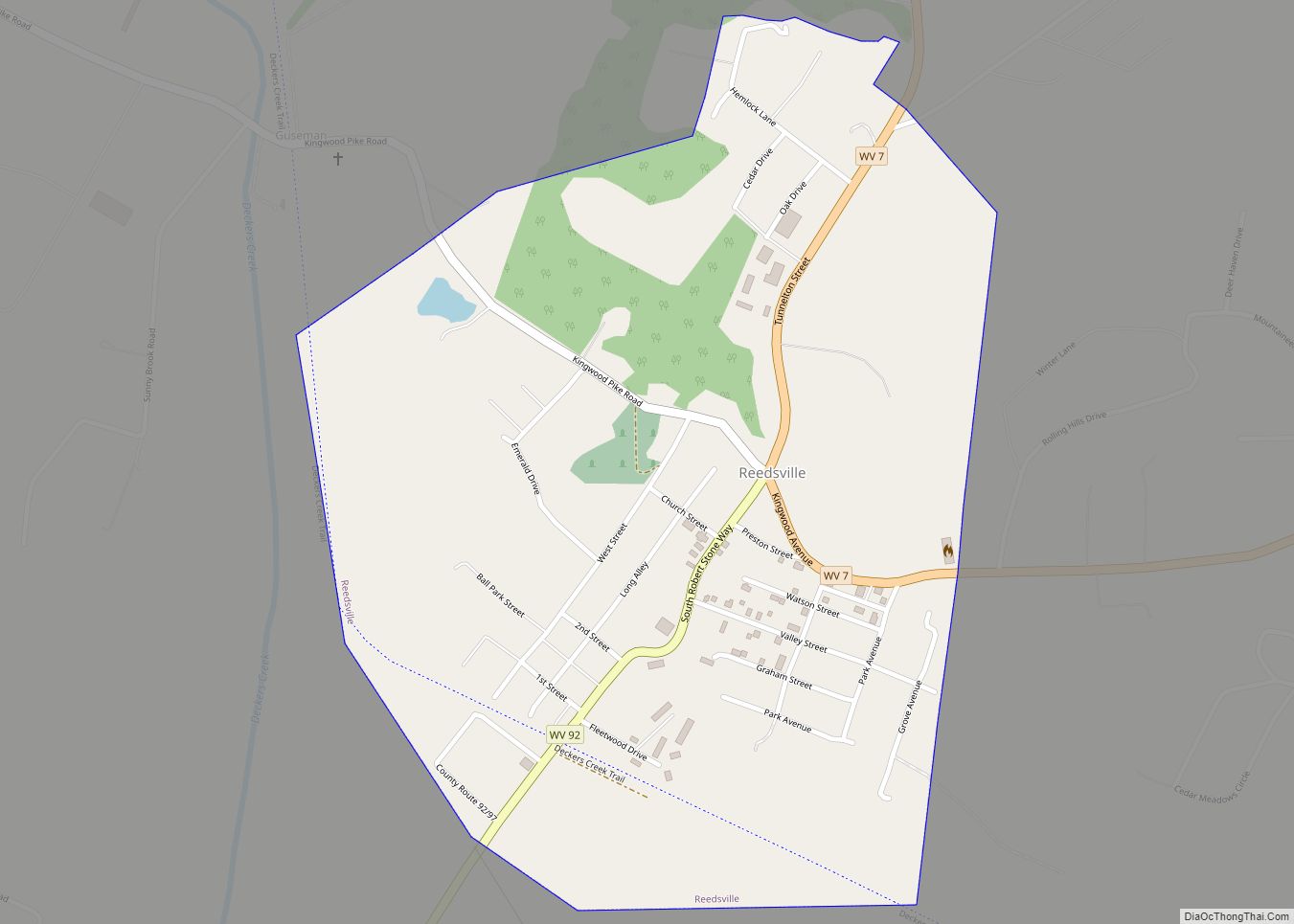
Online Interactive Map
Click on ![]() to view map in "full screen" mode.
to view map in "full screen" mode.
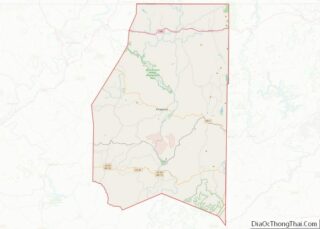
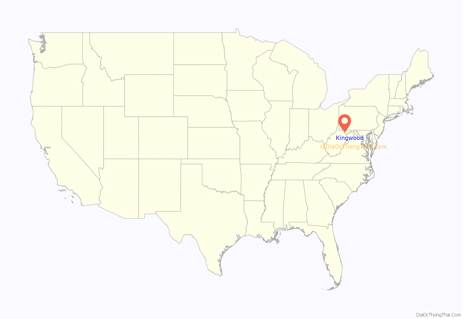
Kingwood location map. Where is Kingwood city?
History
The site of Kingwood was once a forest owned partly by John Miller and Hugh Morgan. The Northwestern Turnpike leading from Winchester to Morgantown and Clarksburg passed through the area. Kingwood was settled sporadically in the 1790s and 1800s until it was formally established by the Virginia General Assembly on January 23, 1811. The town was made the county seat of the new Preston County in 1818 and chartered in 1853. It was named for a grove of tall, stately trees.
The James Clark McGrew House was listed on the National Register of Historic Places in 1993; the Kingwood Historic District was added in 1994.
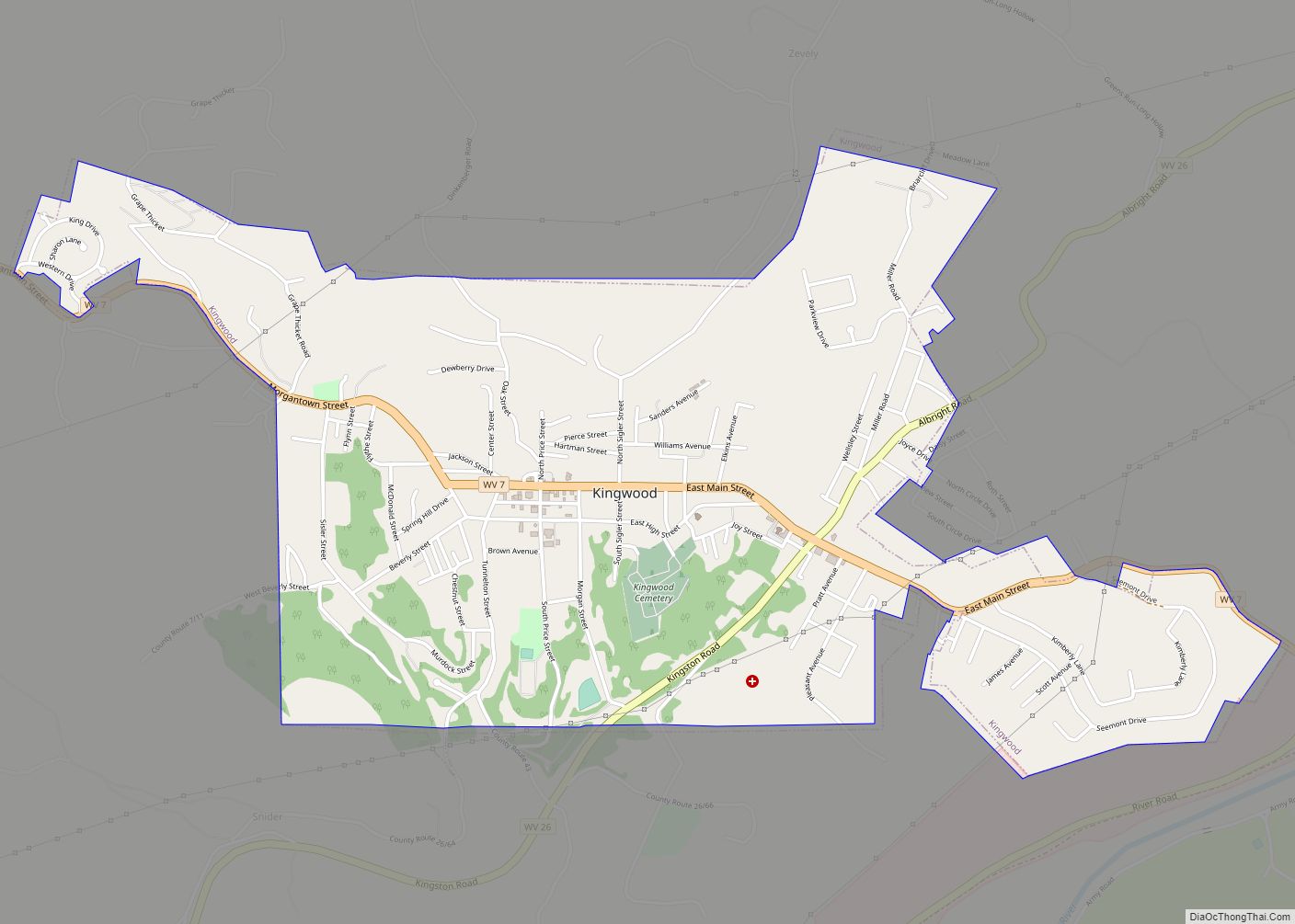
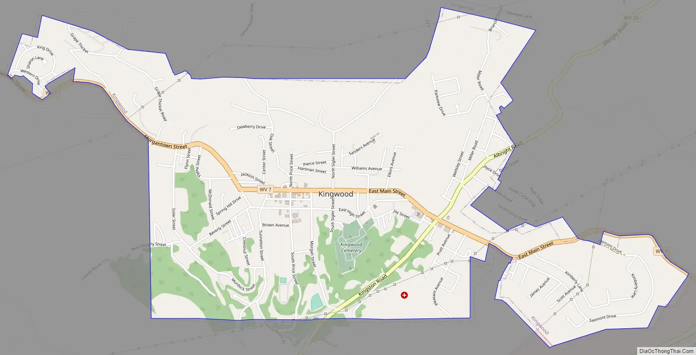
Kingwood Road Map
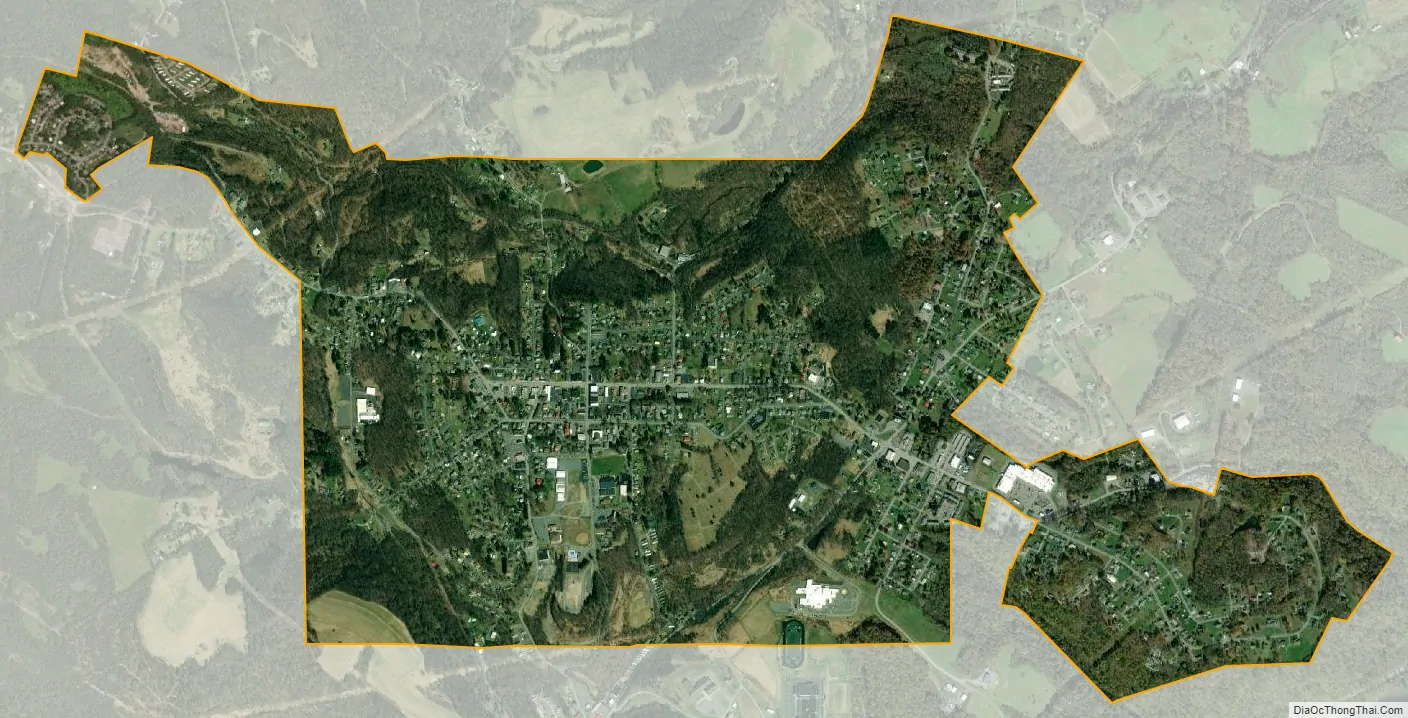
Kingwood city Satellite Map
Geography
Kingwood is located at 39°28.3′N 79°41.1′W / 39.4717°N 79.6850°W / 39.4717; -79.6850 (39.4713, -79.6848).
According to the United States Census Bureau, the city has a total area of 2.43 square miles (6.29 km), all land. It has a warm-summer humid continental climate (Dfb) and average monthly temperatures range from 28.7° F in January to 70.2° F in July. [1] The local hardiness zone is 6a.
See also
Map of West Virginia State and its subdivision:- Barbour
- Berkeley
- Boone
- Braxton
- Brooke
- Cabell
- Calhoun
- Clay
- Doddridge
- Fayette
- Gilmer
- Grant
- Greenbrier
- Hampshire
- Hancock
- Hardy
- Harrison
- Jackson
- Jefferson
- Kanawha
- Lewis
- Lincoln
- Logan
- Marion
- Marshall
- Mason
- McDowell
- Mercer
- Mineral
- Mingo
- Monongalia
- Monroe
- Morgan
- Nicholas
- Ohio
- Pendleton
- Pleasants
- Pocahontas
- Preston
- Putnam
- Raleigh
- Randolph
- Ritchie
- Roane
- Summers
- Taylor
- Tucker
- Tyler
- Upshur
- Wayne
- Webster
- Wetzel
- Wirt
- Wood
- Wyoming
- Alabama
- Alaska
- Arizona
- Arkansas
- California
- Colorado
- Connecticut
- Delaware
- District of Columbia
- Florida
- Georgia
- Hawaii
- Idaho
- Illinois
- Indiana
- Iowa
- Kansas
- Kentucky
- Louisiana
- Maine
- Maryland
- Massachusetts
- Michigan
- Minnesota
- Mississippi
- Missouri
- Montana
- Nebraska
- Nevada
- New Hampshire
- New Jersey
- New Mexico
- New York
- North Carolina
- North Dakota
- Ohio
- Oklahoma
- Oregon
- Pennsylvania
- Rhode Island
- South Carolina
- South Dakota
- Tennessee
- Texas
- Utah
- Vermont
- Virginia
- Washington
- West Virginia
- Wisconsin
- Wyoming