Salt Rock (also Saltrock) is a census-designated place (CDP) in southern Cabell County, West Virginia, United States. As of the 2010 census, its population was 388. It lies along West Virginia Route 10 southeast of the city of Huntington, the county seat of Cabell County. Its elevation is 581 feet (177 m). Although Salt Rock is unincorporated, it has a post office, with the ZIP code of 25559. The community most likely was so named on account of there being a small-scale local salt manufacturing industry.
| Name: | Salt Rock CDP |
|---|---|
| LSAD Code: | 57 |
| LSAD Description: | CDP (suffix) |
| State: | West Virginia |
| County: | Cabell County |
| Total Area: | 3.140 sq mi (8.13 km²) |
| Land Area: | 3.065 sq mi (7.94 km²) |
| Water Area: | 0.075 sq mi (0.19 km²) |
| Total Population: | 388 |
| Population Density: | 120/sq mi (48/km²) |
| ZIP code: | 25559 |
| FIPS code: | 5471476 |
Online Interactive Map
Click on ![]() to view map in "full screen" mode.
to view map in "full screen" mode.
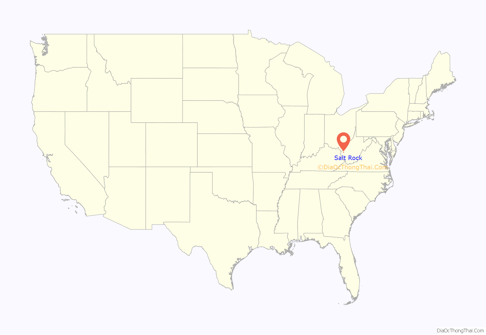
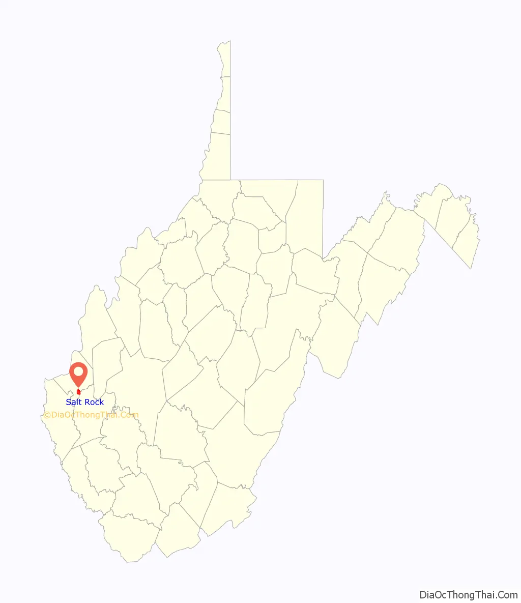
Salt Rock location map. Where is Salt Rock CDP?
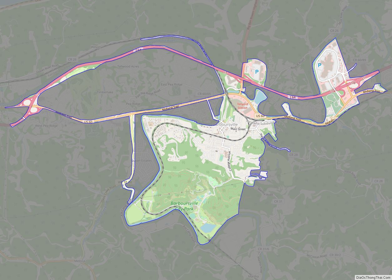
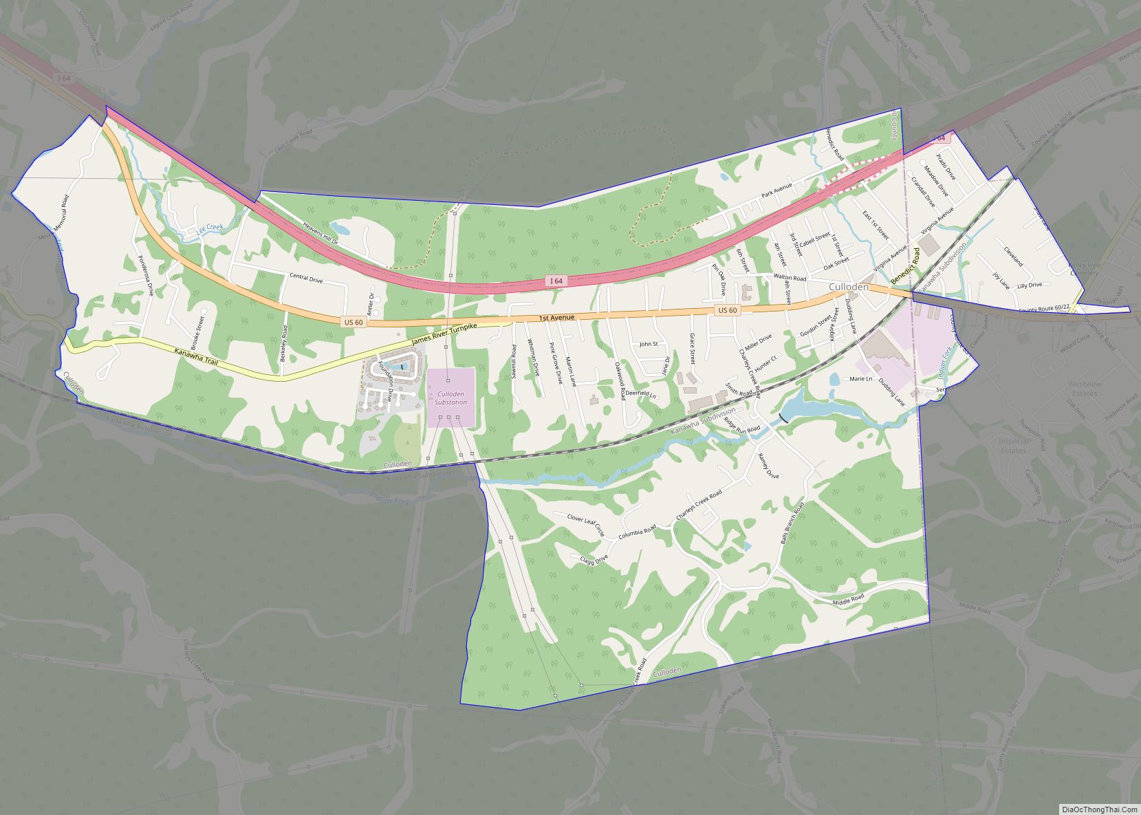
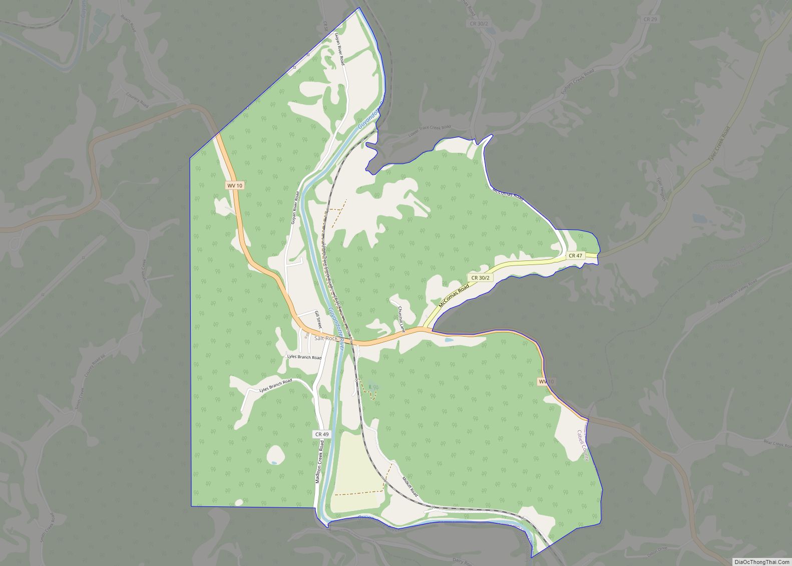
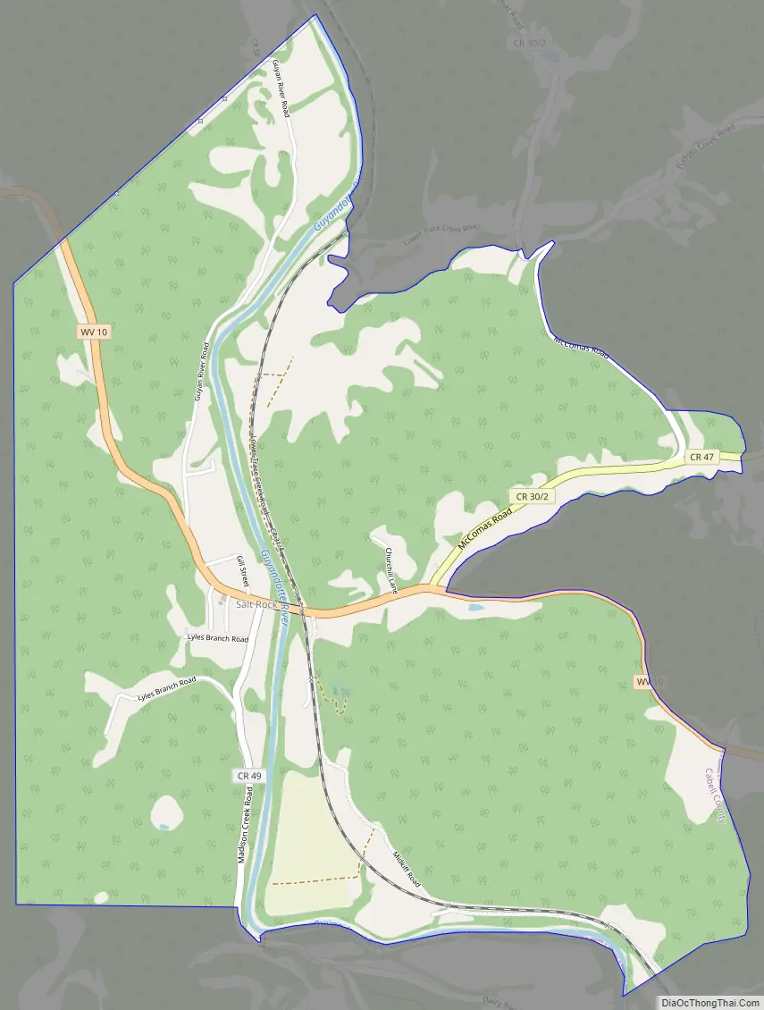
Salt Rock Road Map
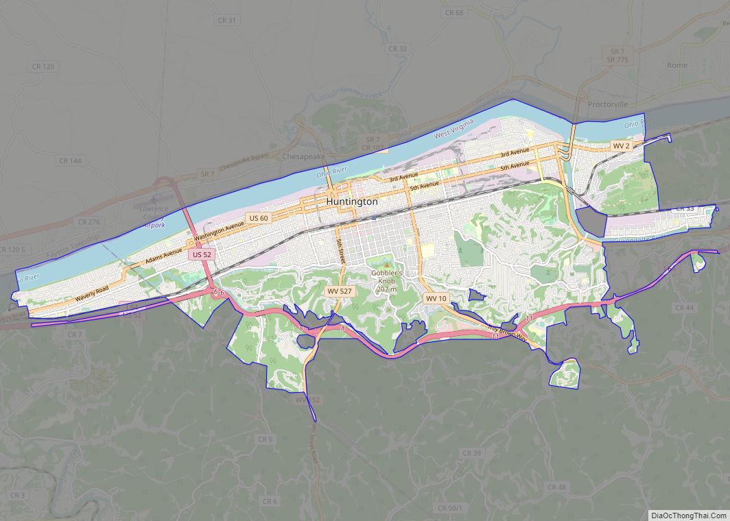
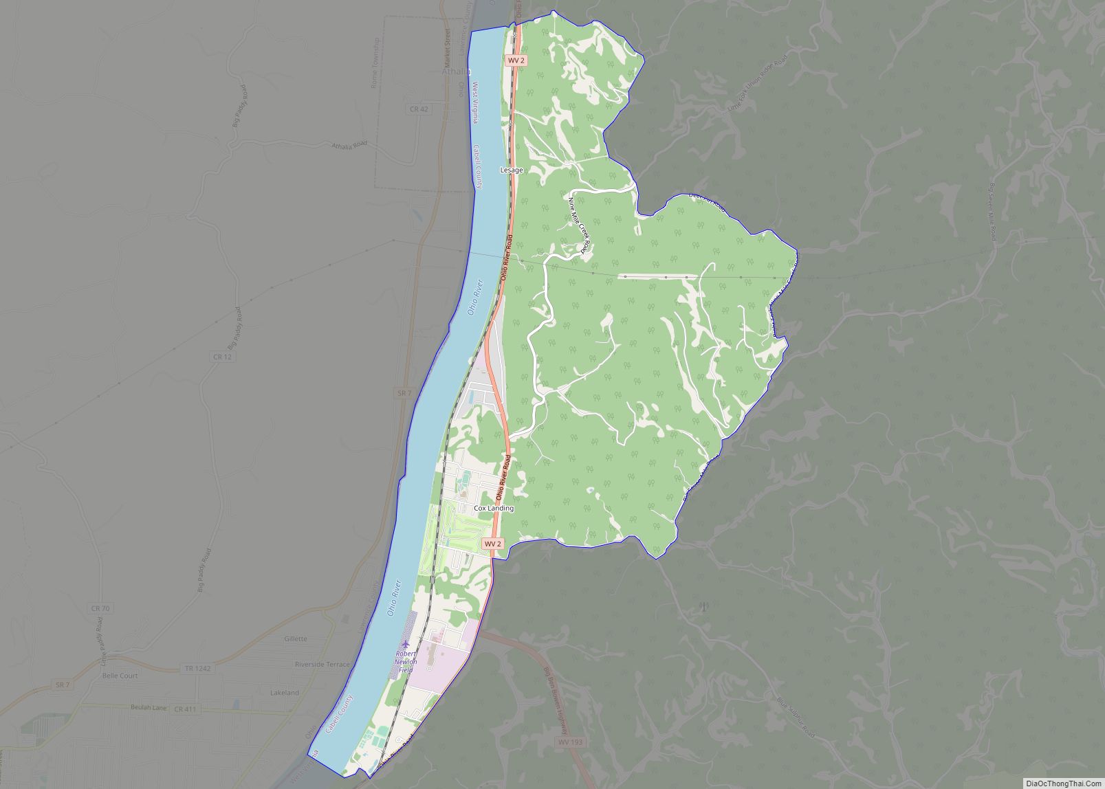
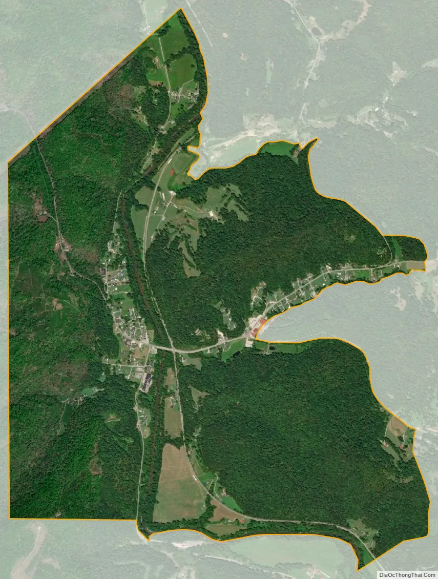
Salt Rock city Satellite Map
See also
Map of West Virginia State and its subdivision:- Barbour
- Berkeley
- Boone
- Braxton
- Brooke
- Cabell
- Calhoun
- Clay
- Doddridge
- Fayette
- Gilmer
- Grant
- Greenbrier
- Hampshire
- Hancock
- Hardy
- Harrison
- Jackson
- Jefferson
- Kanawha
- Lewis
- Lincoln
- Logan
- Marion
- Marshall
- Mason
- McDowell
- Mercer
- Mineral
- Mingo
- Monongalia
- Monroe
- Morgan
- Nicholas
- Ohio
- Pendleton
- Pleasants
- Pocahontas
- Preston
- Putnam
- Raleigh
- Randolph
- Ritchie
- Roane
- Summers
- Taylor
- Tucker
- Tyler
- Upshur
- Wayne
- Webster
- Wetzel
- Wirt
- Wood
- Wyoming
- Alabama
- Alaska
- Arizona
- Arkansas
- California
- Colorado
- Connecticut
- Delaware
- District of Columbia
- Florida
- Georgia
- Hawaii
- Idaho
- Illinois
- Indiana
- Iowa
- Kansas
- Kentucky
- Louisiana
- Maine
- Maryland
- Massachusetts
- Michigan
- Minnesota
- Mississippi
- Missouri
- Montana
- Nebraska
- Nevada
- New Hampshire
- New Jersey
- New Mexico
- New York
- North Carolina
- North Dakota
- Ohio
- Oklahoma
- Oregon
- Pennsylvania
- Rhode Island
- South Carolina
- South Dakota
- Tennessee
- Texas
- Utah
- Vermont
- Virginia
- Washington
- West Virginia
- Wisconsin
- Wyoming