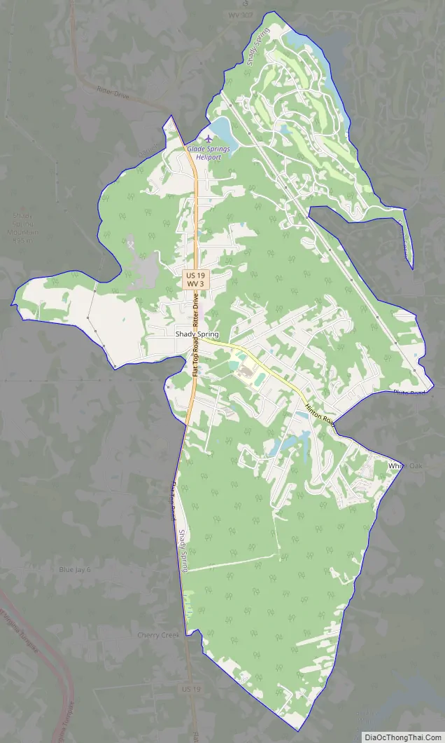
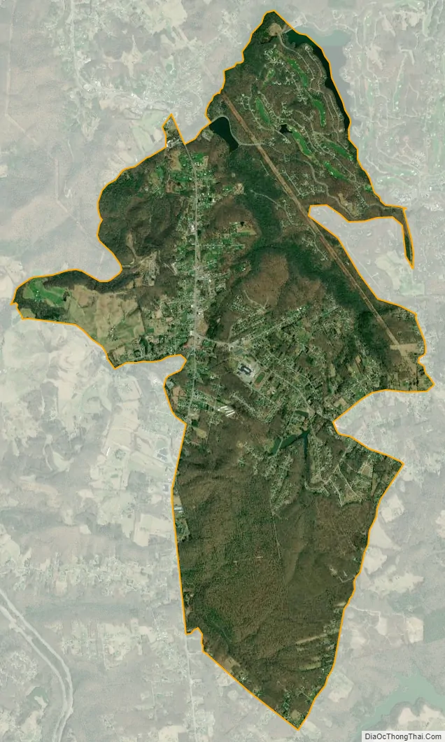
Shady Spring is a census-designated place (CDP) in Raleigh County, West Virginia, United States. The population was 2,998 at the 2010 census. It is a residential community, with a low crime rate.
Shady Spring is close to the Resort at Glade Springs, Flat Top Lake, Winterplace Ski Resort, and the city of Beckley.
| Name: | Shady Spring CDP |
|---|---|
| LSAD Code: | 57 |
| LSAD Description: | CDP (suffix) |
| State: | West Virginia |
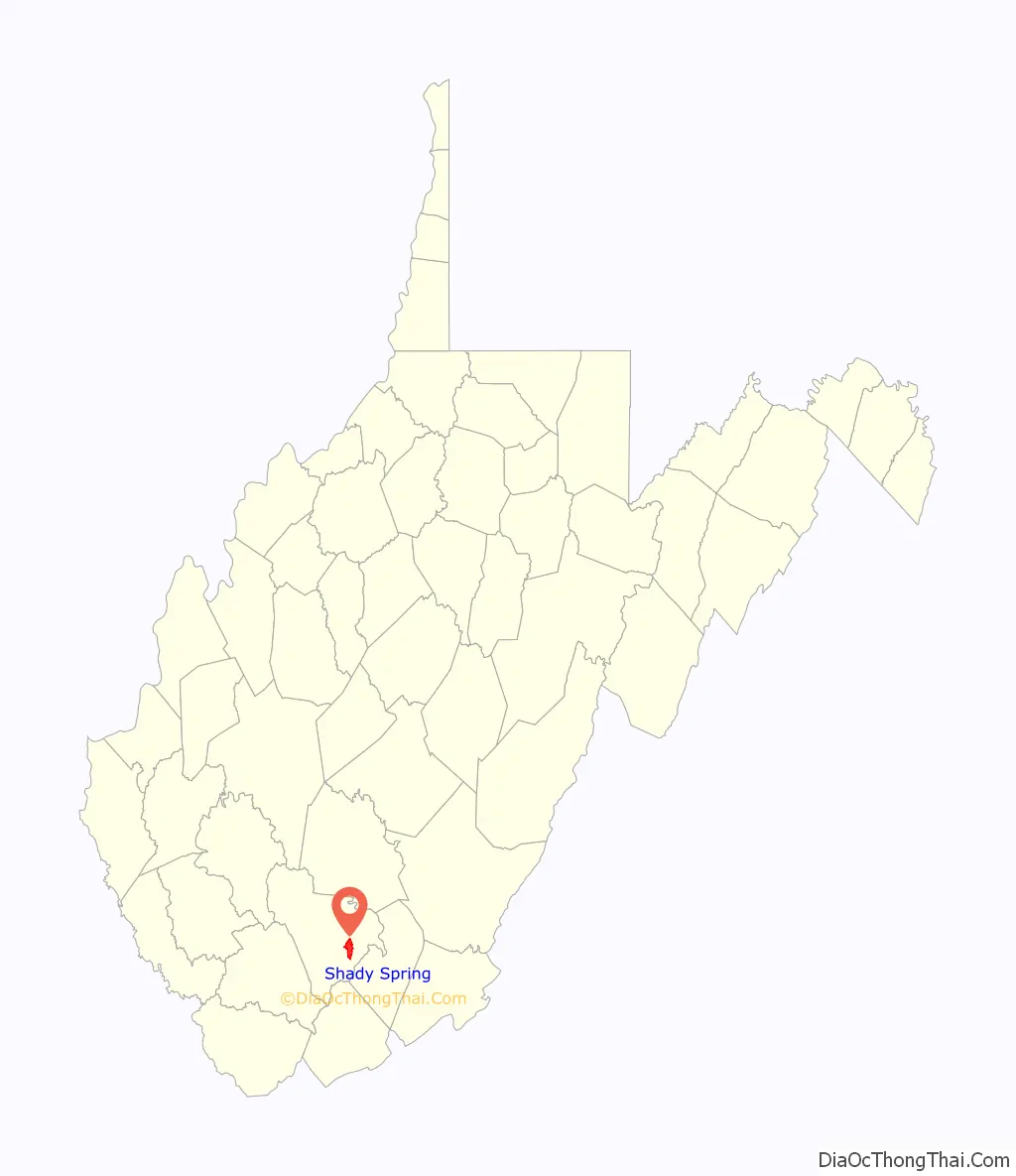
| County: | Raleigh County |
| Elevation: | 2,697 ft (822 m) |
| Total Area: | 6.1 sq mi (15.9 km²) |
| Land Area: | 6.1 sq mi (15.7 km²) |
| Water Area: | 0.1 sq mi (0.2 km²) |
| Total Population: | 2,998 |
| Population Density: | 490/sq mi (190/km²) |
| ZIP code: | 25918 |
| Area code: | 304 |
| FIPS code: | 5473108 |
| GNISfeature ID: | 1546597 |
Online Interactive Map
Click on ![]() to view map in "full screen" mode.
to view map in "full screen" mode.
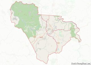
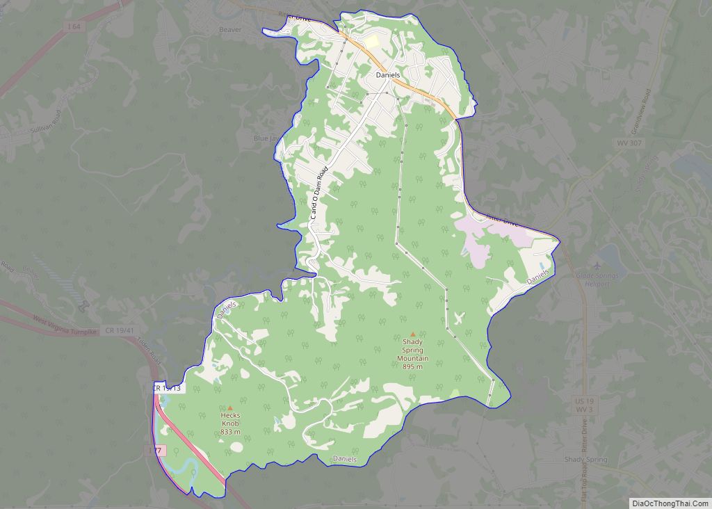
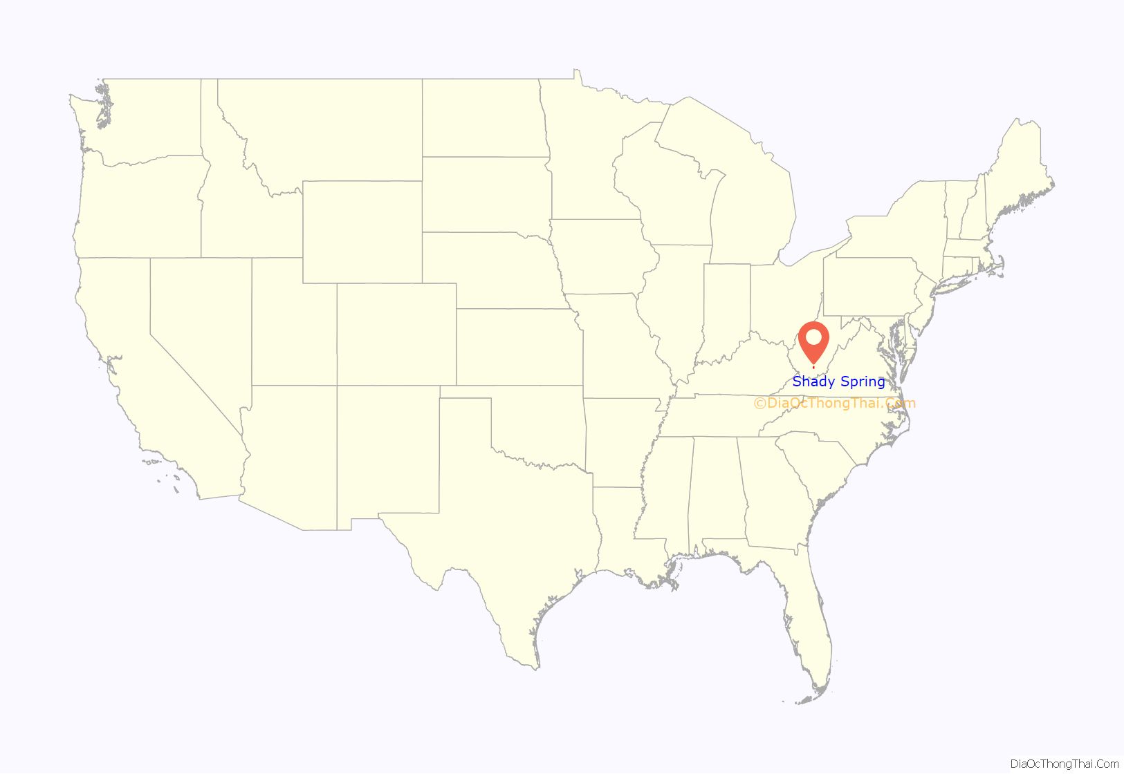
Shady Spring location map. Where is Shady Spring CDP?
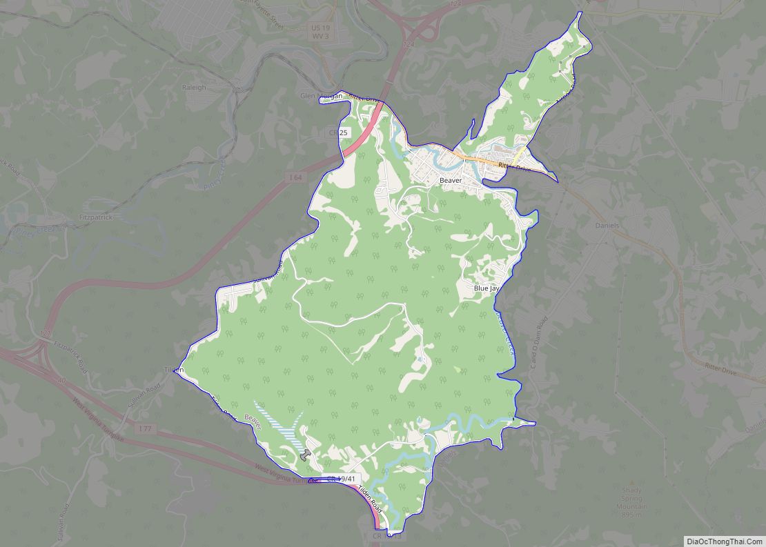
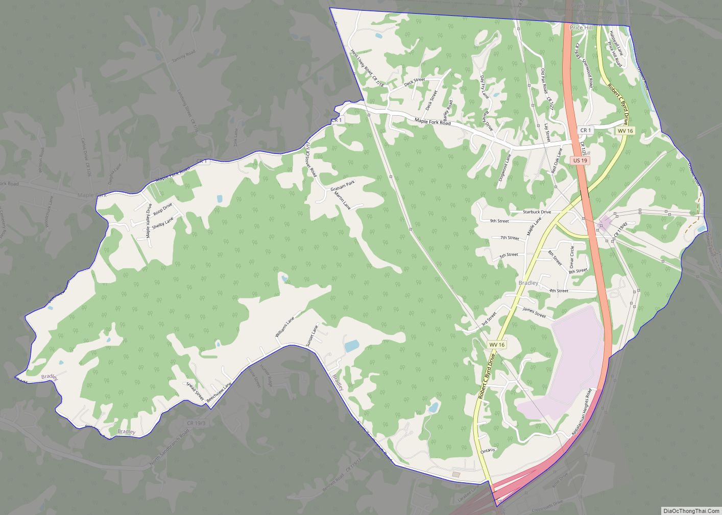
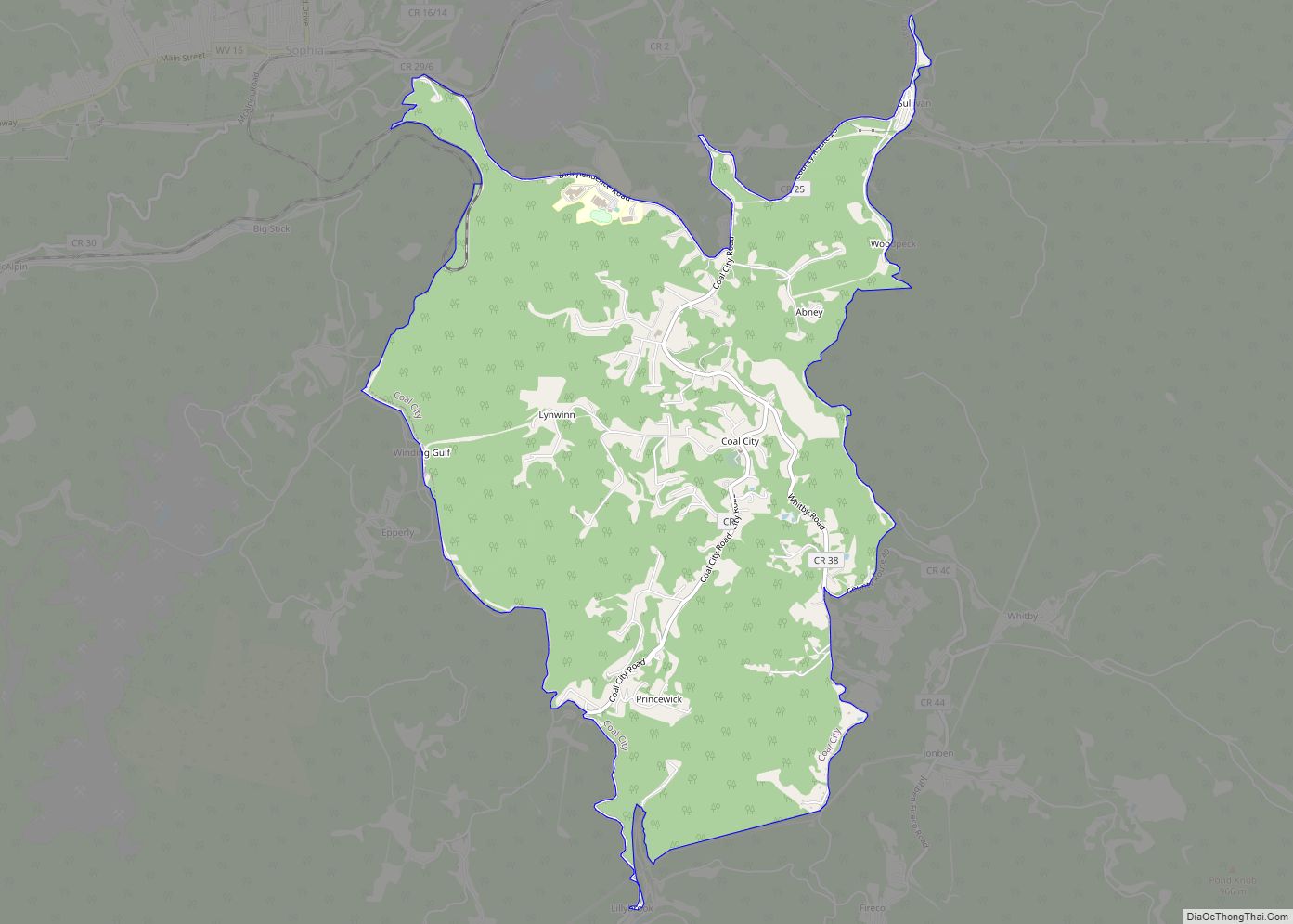
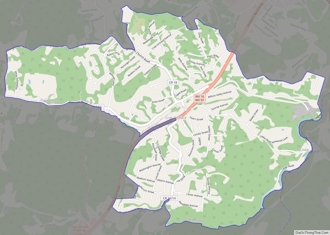
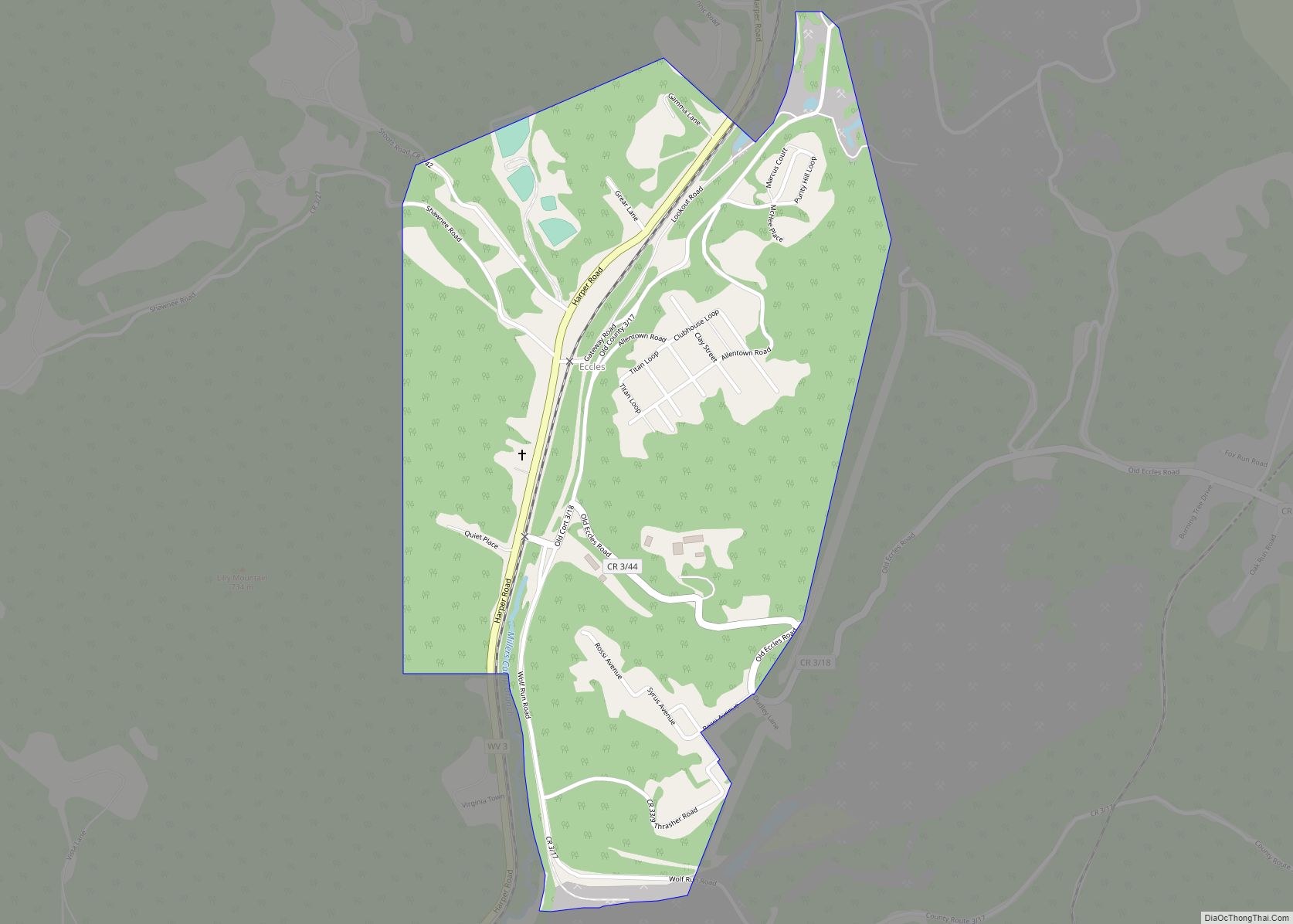
Shady Spring Road Map
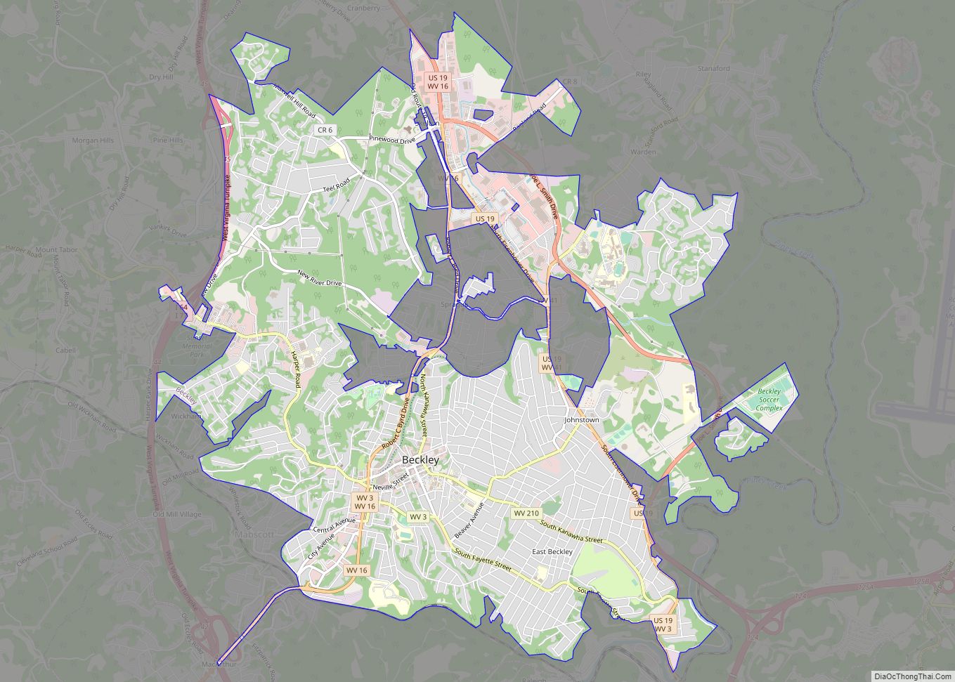
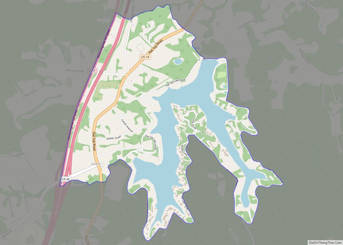
Shady Spring city Satellite Map
Geography
Shady Spring is located at 37°42′13″N 81°5′27″W / 37.70361°N 81.09083°W / 37.70361; -81.09083 (37.703737, -81.090907).
According to the United States Census Bureau, the CDP has a total area of 6.1 square miles (15.9 km), of which 6.1 square miles (15.7 km) is land and 0.1 square mile (0.2 km) is water.
See also
Map of West Virginia State and its subdivision:- Barbour
- Berkeley
- Boone
- Braxton
- Brooke
- Cabell
- Calhoun
- Clay
- Doddridge
- Fayette
- Gilmer
- Grant
- Greenbrier
- Hampshire
- Hancock
- Hardy
- Harrison
- Jackson
- Jefferson
- Kanawha
- Lewis
- Lincoln
- Logan
- Marion
- Marshall
- Mason
- McDowell
- Mercer
- Mineral
- Mingo
- Monongalia
- Monroe
- Morgan
- Nicholas
- Ohio
- Pendleton
- Pleasants
- Pocahontas
- Preston
- Putnam
- Raleigh
- Randolph
- Ritchie
- Roane
- Summers
- Taylor
- Tucker
- Tyler
- Upshur
- Wayne
- Webster
- Wetzel
- Wirt
- Wood
- Wyoming
- Alabama
- Alaska
- Arizona
- Arkansas
- California
- Colorado
- Connecticut
- Delaware
- District of Columbia
- Florida
- Georgia
- Hawaii
- Idaho
- Illinois
- Indiana
- Iowa
- Kansas
- Kentucky
- Louisiana
- Maine
- Maryland
- Massachusetts
- Michigan
- Minnesota
- Mississippi
- Missouri
- Montana
- Nebraska
- Nevada
- New Hampshire
- New Jersey
- New Mexico
- New York
- North Carolina
- North Dakota
- Ohio
- Oklahoma
- Oregon
- Pennsylvania
- Rhode Island
- South Carolina
- South Dakota
- Tennessee
- Texas
- Utah
- Vermont
- Virginia
- Washington
- West Virginia
- Wisconsin
- Wyoming