Stanaford is a census-designated place (CDP) and coal town in Raleigh County, West Virginia, United States. The population was 1,350 at the 2010 census.
The community was named after nearby Stanaford Branch.
| Name: | Stanaford CDP |
|---|---|
| LSAD Code: | 57 |
| LSAD Description: | CDP (suffix) |
| State: | West Virginia |
| County: | Raleigh County |
| Elevation: | 2,402 ft (732 m) |
| Total Area: | 1.9 sq mi (5.0 km²) |
| Land Area: | 1.9 sq mi (4.9 km²) |
| Water Area: | 0.0 sq mi (0.0 km²) |
| Total Population: | 1,350 |
| Population Density: | 710/sq mi (270/km²) |
| ZIP code: | 25927 |
| Area code: | 304 |
| FIPS code: | 5476444 |
| GNISfeature ID: | 1555700 |
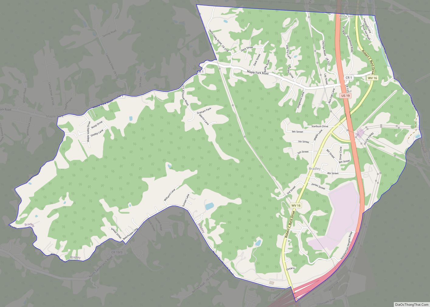
Online Interactive Map
Click on ![]() to view map in "full screen" mode.
to view map in "full screen" mode.
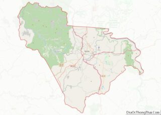
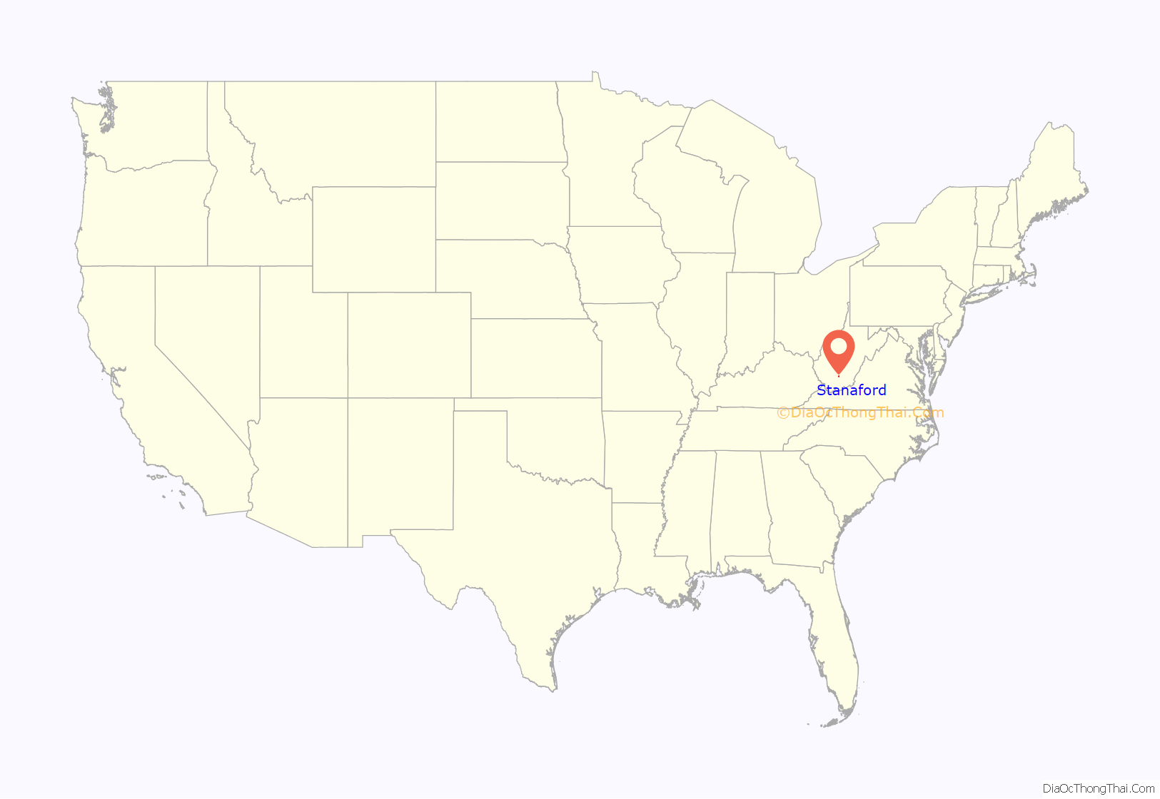
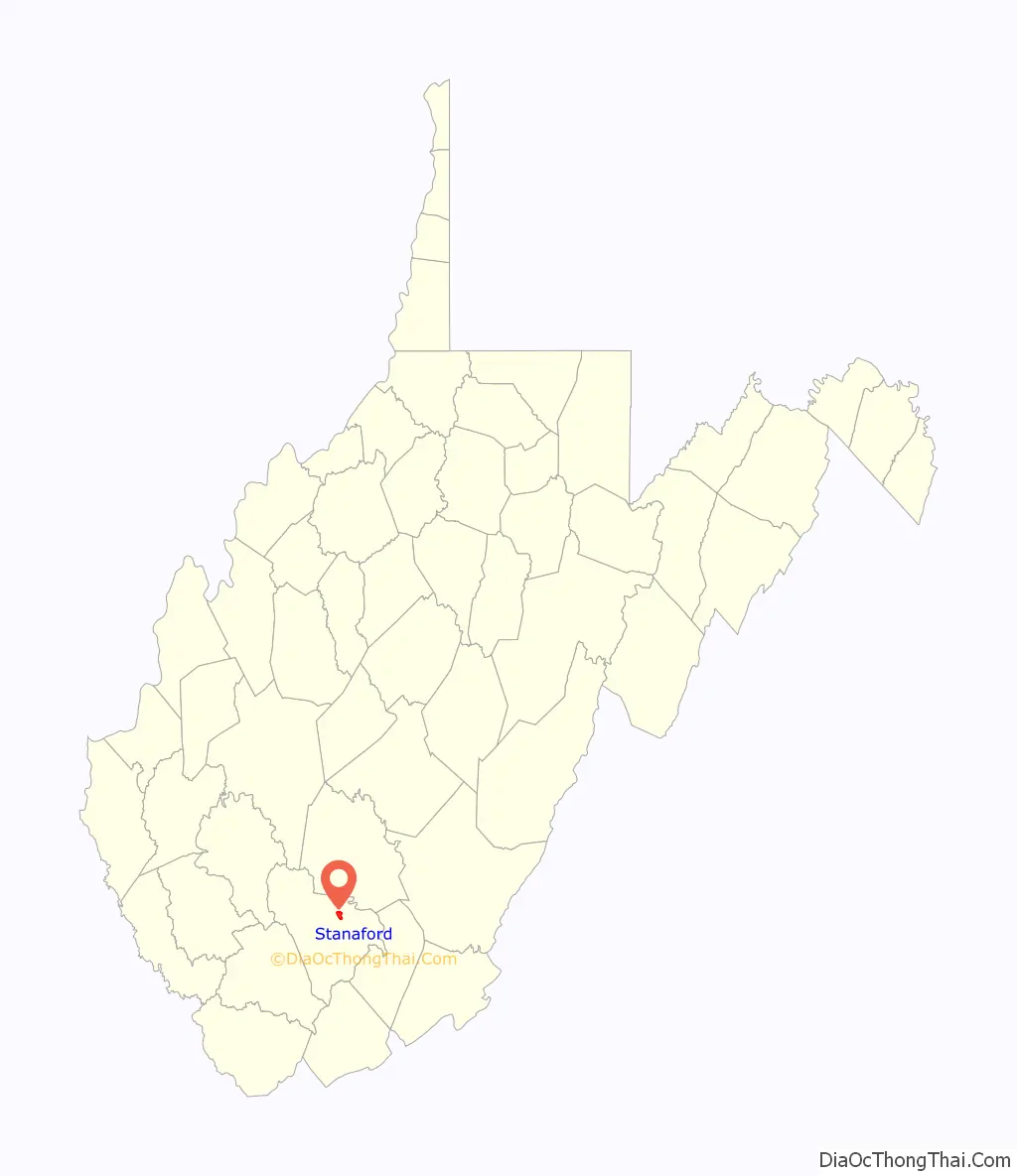
Stanaford location map. Where is Stanaford CDP?
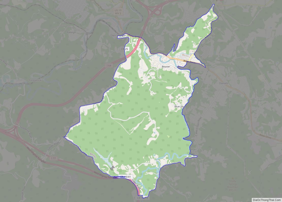
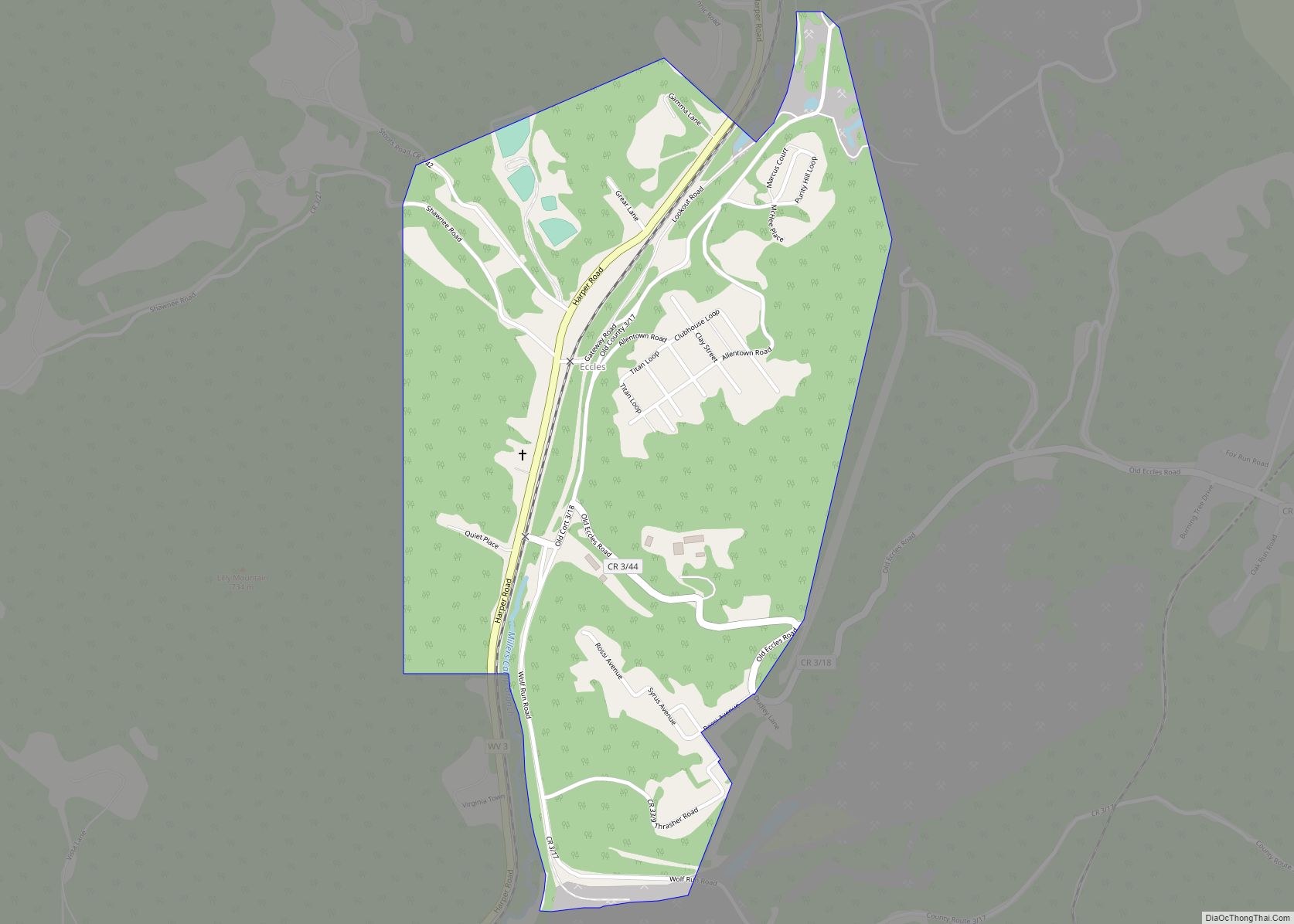
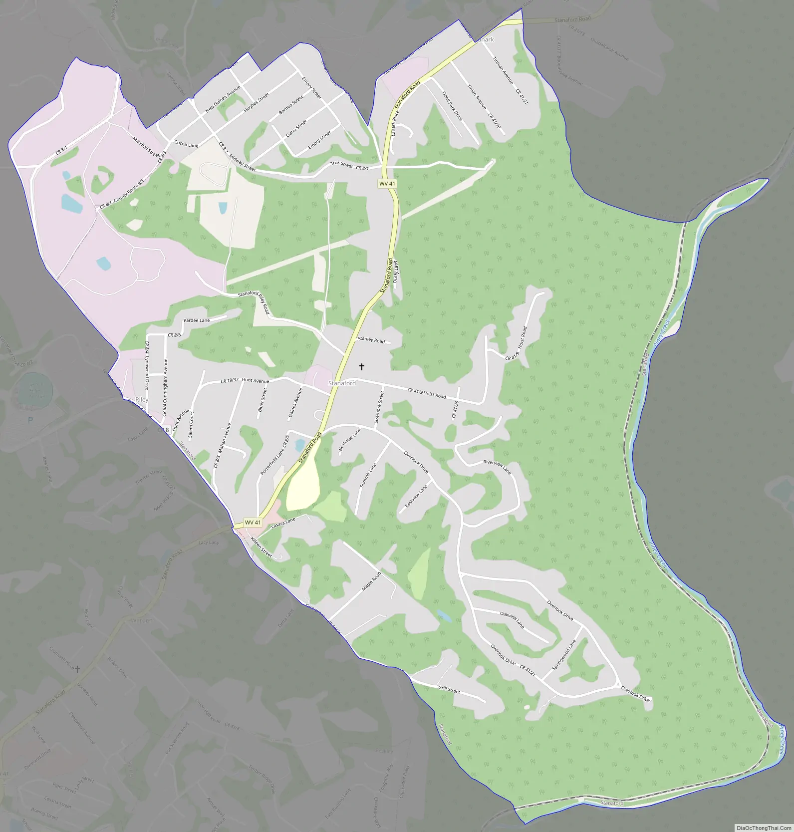
Stanaford Road Map
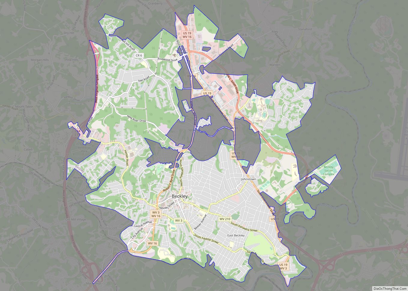
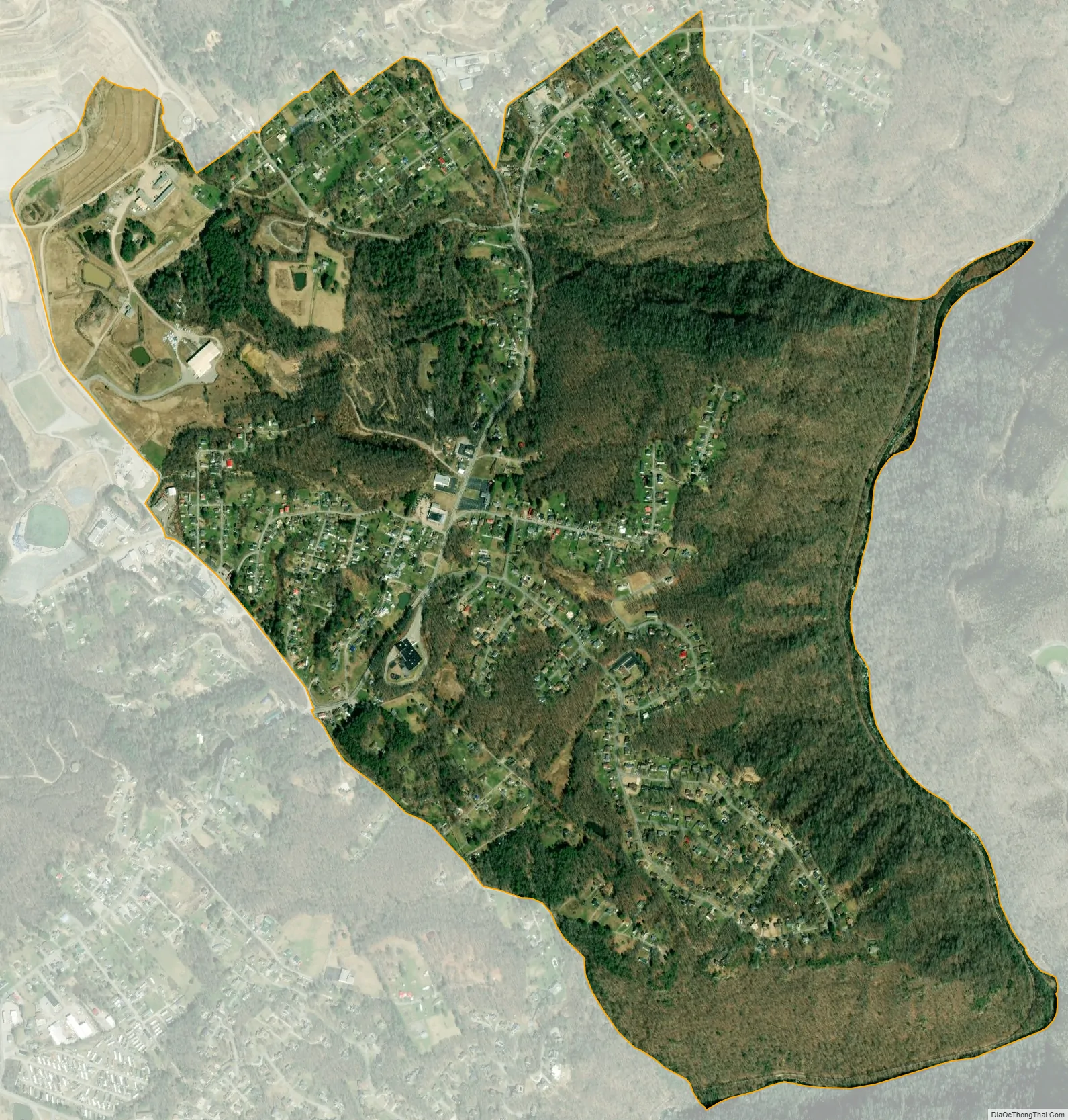
Stanaford city Satellite Map
Geography
Stanaford is located at 37°49′17″N 81°9′5″W / 37.82139°N 81.15139°W / 37.82139; -81.15139 (37.821262, -81.151458).
According to the United States Census Bureau, the CDP has a total area of 1.9 square miles (5.0 km); 1.9 square miles (4.9 km) of this is land, and 0.02 square miles (0.04 km) is water.
Climate
The climate in this area has mild differences between highs and lows, and there is adequate rainfall year-round. According to the Köppen Climate Classification system, Stanaford has a marine west coast climate, abbreviated “Cfb” on climate maps.
See also
Map of West Virginia State and its subdivision:- Barbour
- Berkeley
- Boone
- Braxton
- Brooke
- Cabell
- Calhoun
- Clay
- Doddridge
- Fayette
- Gilmer
- Grant
- Greenbrier
- Hampshire
- Hancock
- Hardy
- Harrison
- Jackson
- Jefferson
- Kanawha
- Lewis
- Lincoln
- Logan
- Marion
- Marshall
- Mason
- McDowell
- Mercer
- Mineral
- Mingo
- Monongalia
- Monroe
- Morgan
- Nicholas
- Ohio
- Pendleton
- Pleasants
- Pocahontas
- Preston
- Putnam
- Raleigh
- Randolph
- Ritchie
- Roane
- Summers
- Taylor
- Tucker
- Tyler
- Upshur
- Wayne
- Webster
- Wetzel
- Wirt
- Wood
- Wyoming
- Alabama
- Alaska
- Arizona
- Arkansas
- California
- Colorado
- Connecticut
- Delaware
- District of Columbia
- Florida
- Georgia
- Hawaii
- Idaho
- Illinois
- Indiana
- Iowa
- Kansas
- Kentucky
- Louisiana
- Maine
- Maryland
- Massachusetts
- Michigan
- Minnesota
- Mississippi
- Missouri
- Montana
- Nebraska
- Nevada
- New Hampshire
- New Jersey
- New Mexico
- New York
- North Carolina
- North Dakota
- Ohio
- Oklahoma
- Oregon
- Pennsylvania
- Rhode Island
- South Carolina
- South Dakota
- Tennessee
- Texas
- Utah
- Vermont
- Virginia
- Washington
- West Virginia
- Wisconsin
- Wyoming