Star City is a town in Monongalia County, West Virginia, United States. The population was 1,779 at the 2020 census. It is included in the Morgantown, West Virginia Metropolitan Statistical Area.
| Name: | Star City town |
|---|---|
| LSAD Code: | 43 |
| LSAD Description: | town (suffix) |
| State: | West Virginia |
| County: | Monongalia County |
| Elevation: | 955 ft (291 m) |
| Total Area: | 0.59 sq mi (1.53 km²) |
| Land Area: | 0.49 sq mi (1.27 km²) |
| Water Area: | 0.10 sq mi (0.26 km²) |
| Total Population: | 1,779 |
| Population Density: | 3,983.64/sq mi (1,538.80/km²) |
| Area code: | 304/681 |
| FIPS code: | 5476516 |
| GNISfeature ID: | 1555703 |
| Website: | www.starcitywv.com |
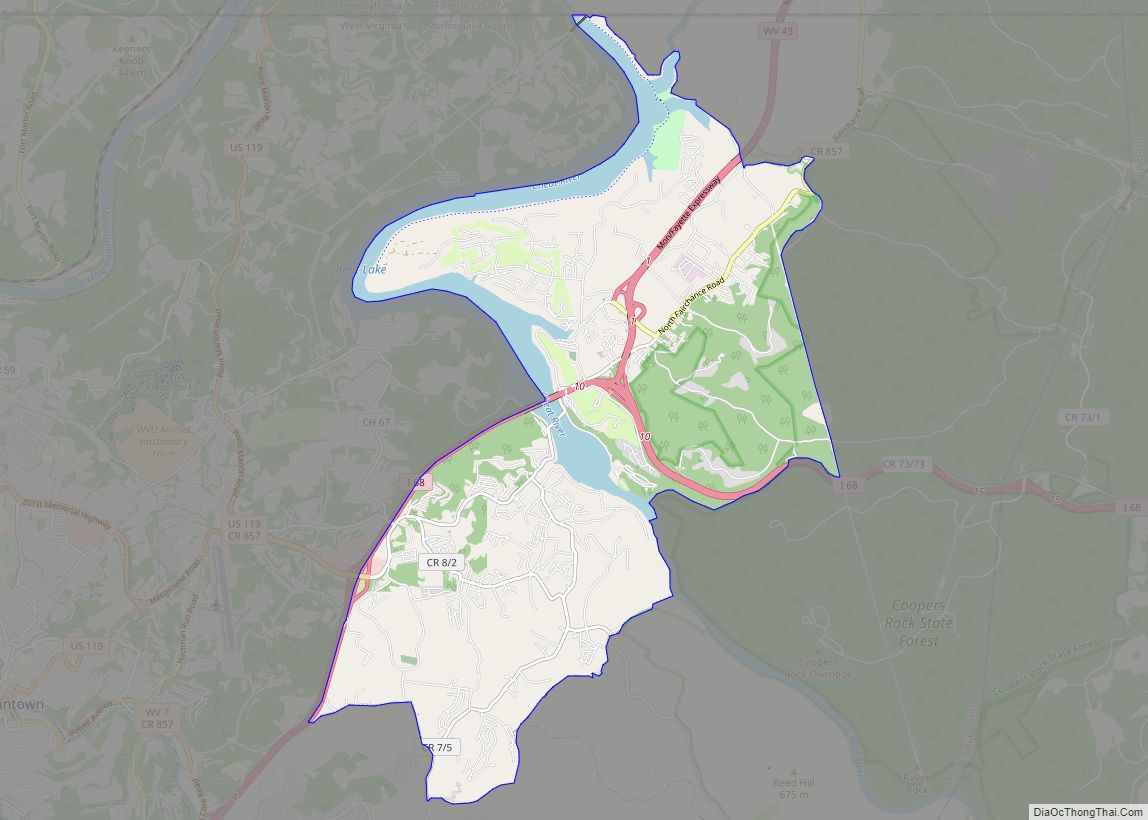
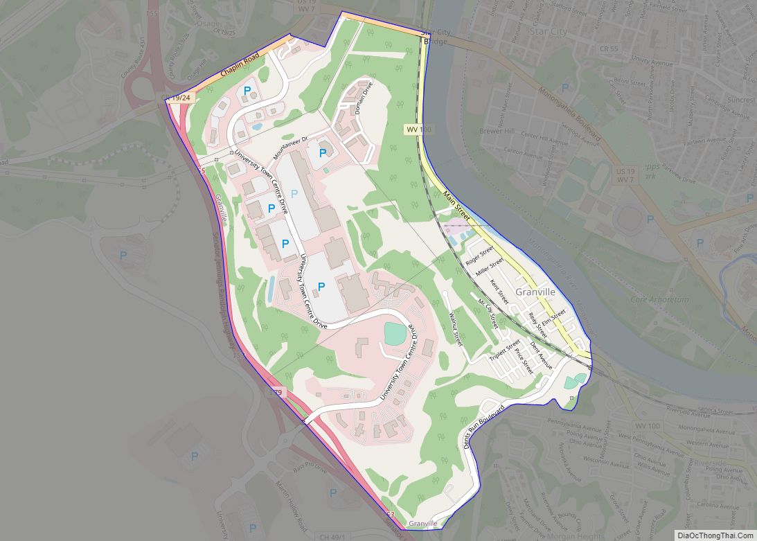
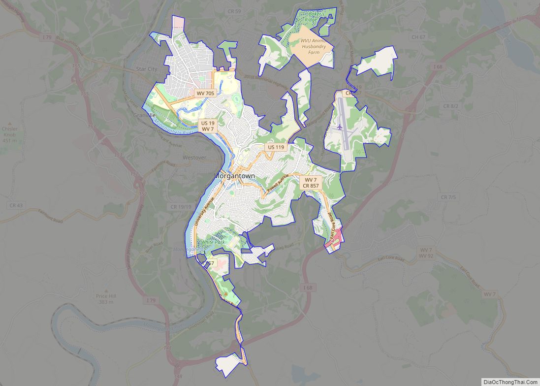
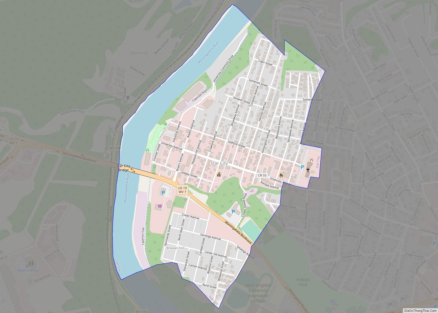
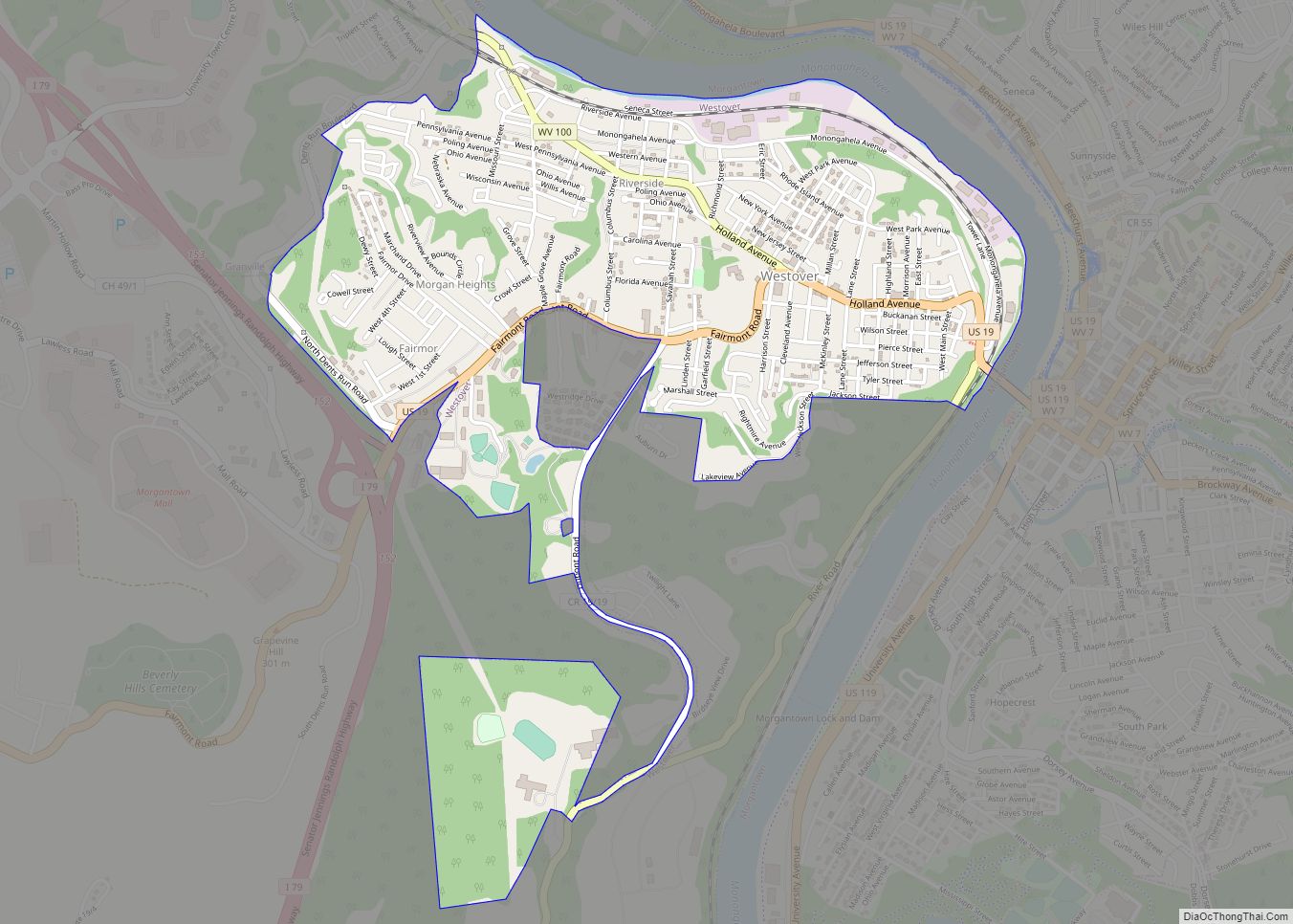
Online Interactive Map
Click on ![]() to view map in "full screen" mode.
to view map in "full screen" mode.
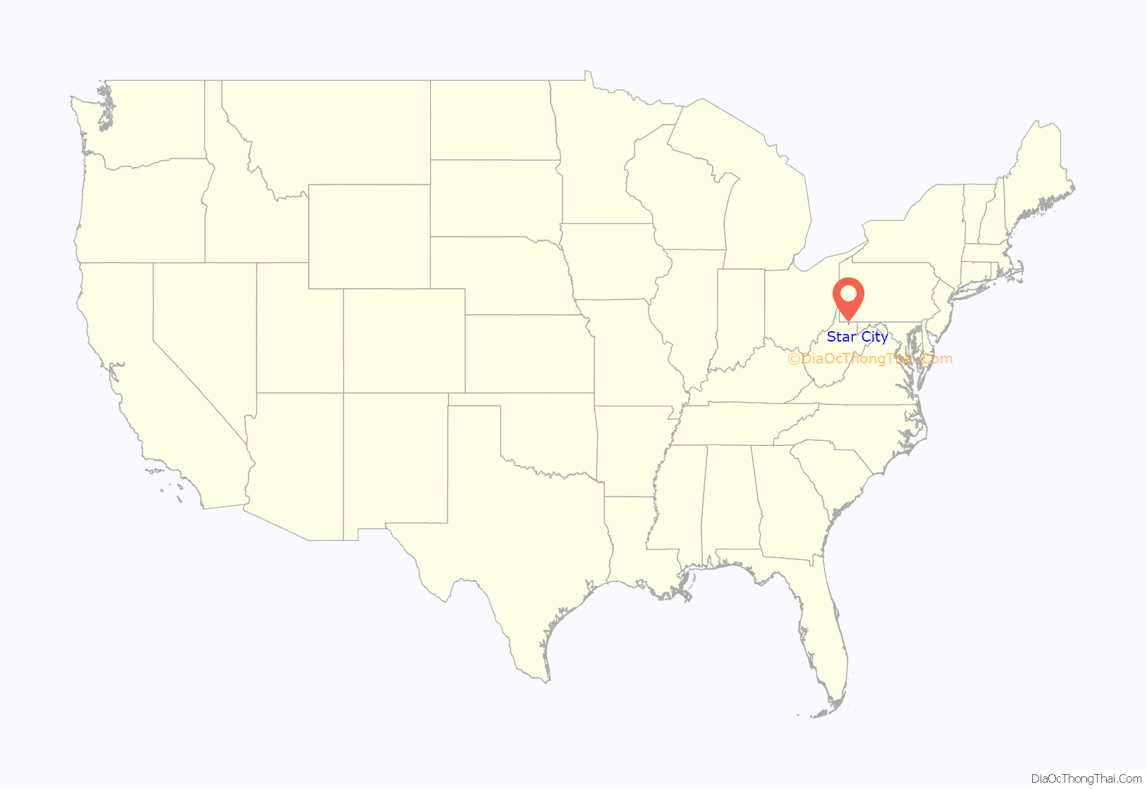
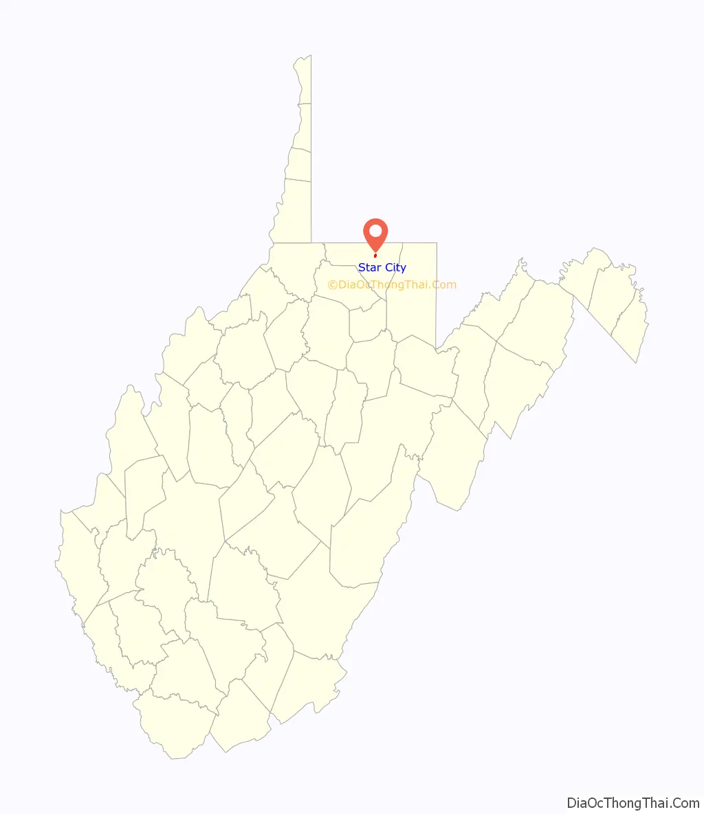
Star City location map. Where is Star City town?
History
Star City was founded in 1907, and took its name from the local Star Glass Company.
Socialist Party government
By 1910 the Socialist Party of America had organized a branch in the town and within a year had won four out of five seats in the city council, as part of a wider national political movement of the time.
The Socialist Party would continue to be the dominant party in Star City politics through 1917, when its rival the Citizens’ Party took over municipal government. To avoid un-American connotations that became associated with the name after World War I, the Socialist Party of Star City in 1918 renamed itself the Independent Citizens’ party and won back local government, partly due to its opposition to the regressive “capitation tax” the Citizens’ Party had imposed. However, in 1924, the People’s party, formed two years earlier and composed largely of former Citizens’ party supporters, took over. Until that time, the Socialists were a mainstay of this working-class town, organizing the Workingmen’s Co-operative Store and creating community pillars with Local Twenty-six of the American Flint Glass Workers’ Union and the Young People’s Socialist League.
Star City Volunteer Fire Department
The Star City Volunteer Fire Department was founded in the 1939. The department has an all-volunteer firefighting staff and a combination of paid and volunteer EMS staff. The agency responds to approximately 1,200 emergency calls per year and provides Firefighting and Rescue services to the town of Star City and surrounding unincorporated areas. It is designated as the district’s Company 20 (Fire) and Station 20 (EMS).
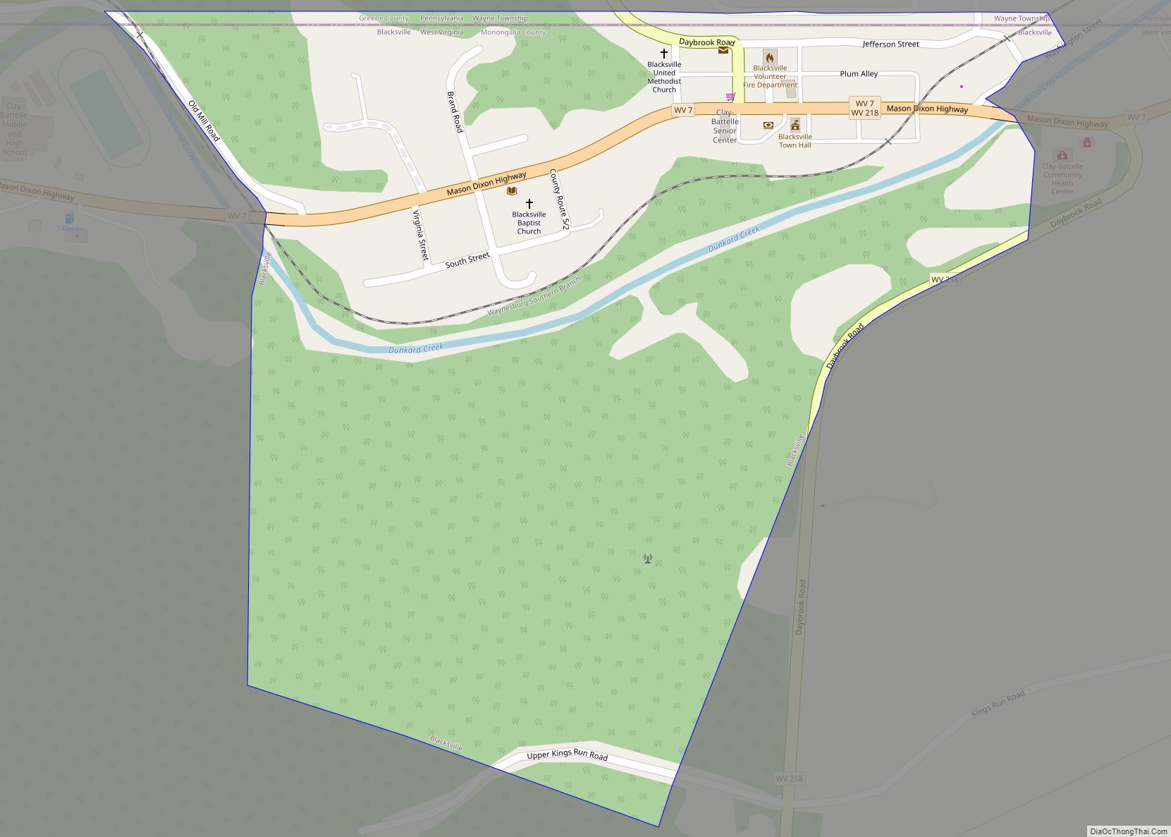
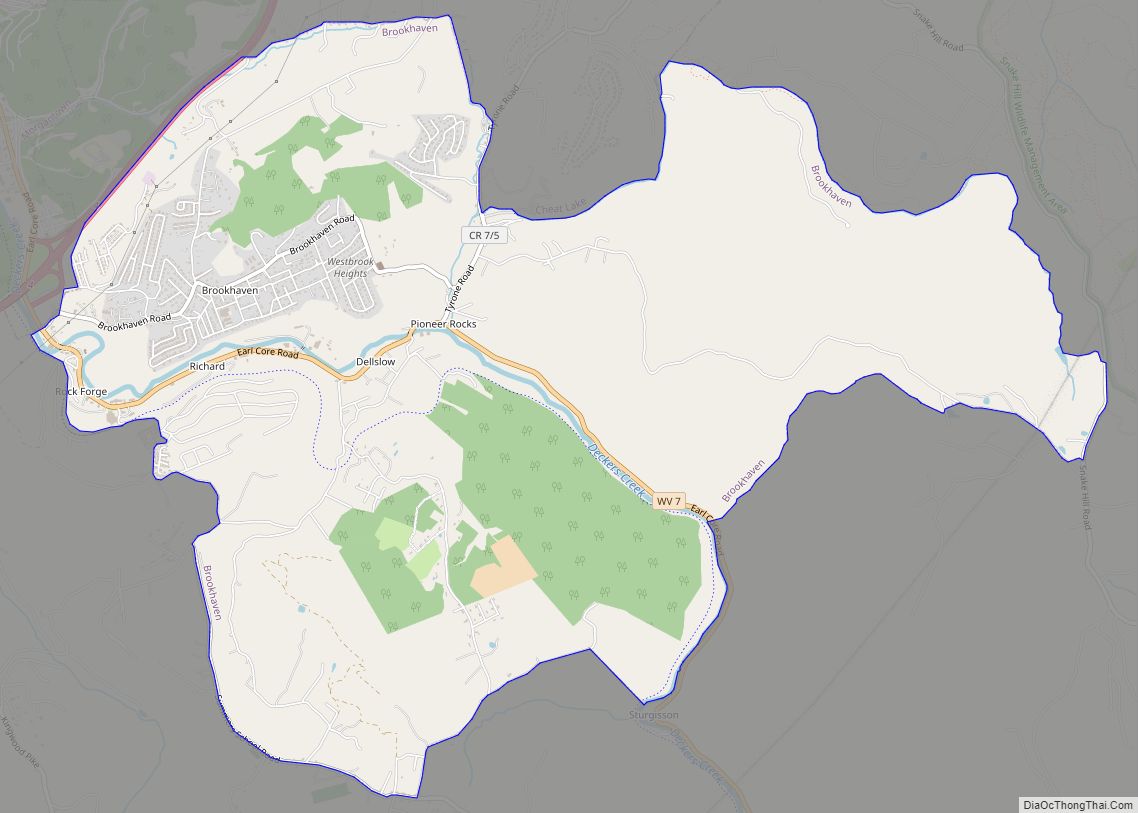
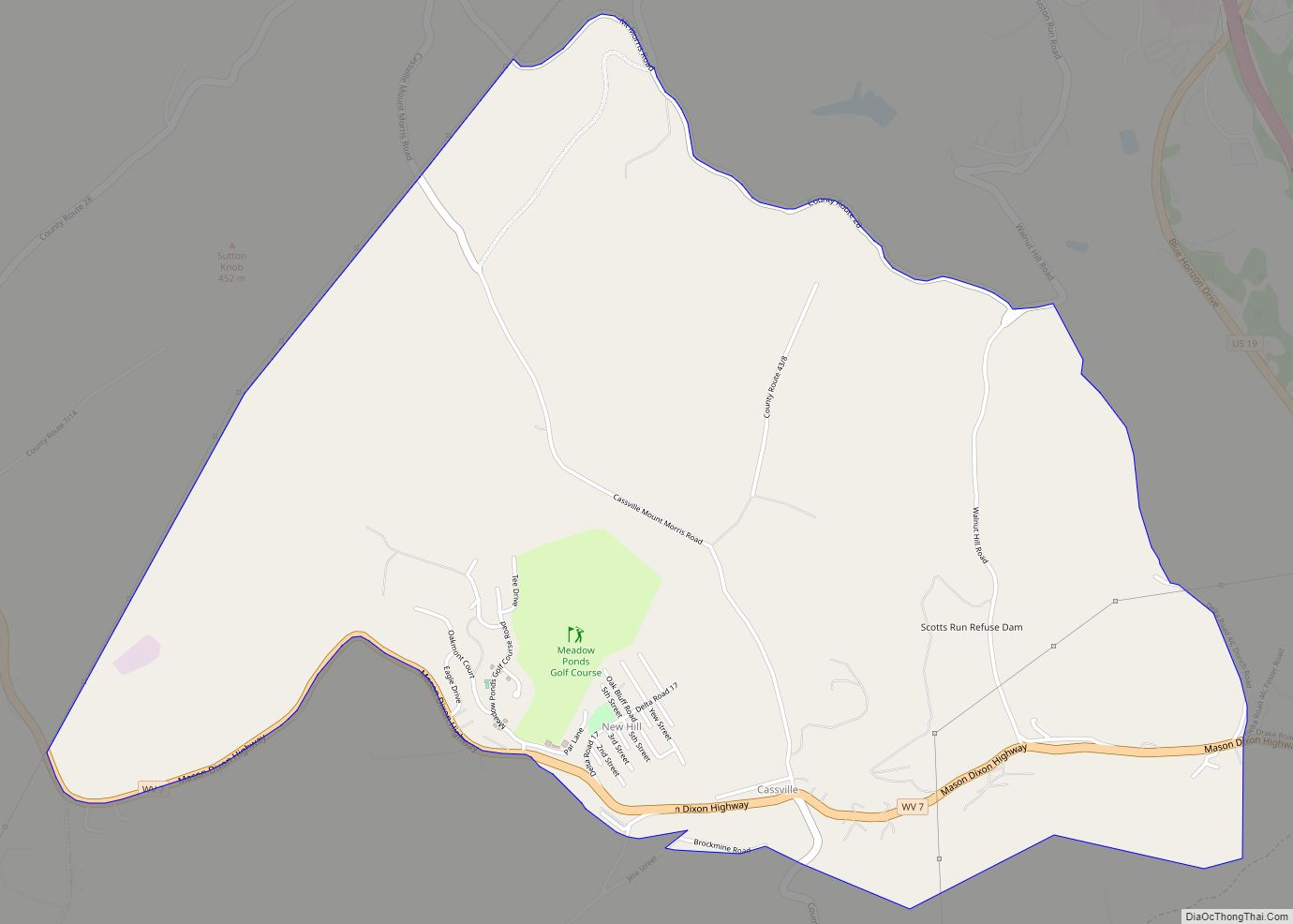
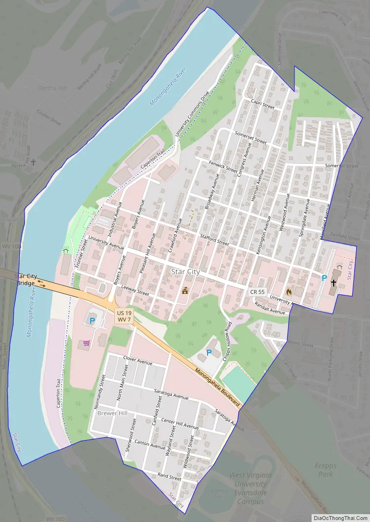
Star City Road Map
Star City city Satellite Map
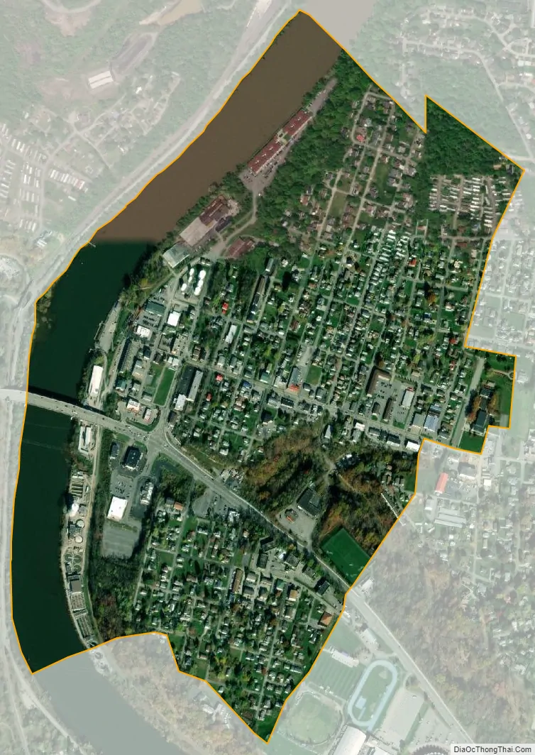
Geography
Star City is located at 39°39′29″N 79°59′10″W / 39.65806°N 79.98611°W / 39.65806; -79.98611 (39.657966, -79.986046).
According to the United States Census Bureau, the town has a total area of 0.59 square miles (1.53 km), of which 0.49 square miles (1.27 km) is land and 0.10 square miles (0.26 km) is water.
See also
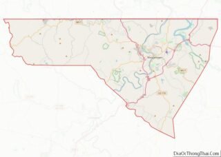
Map of West Virginia State and its subdivision:- Barbour
- Berkeley
- Boone
- Braxton
- Brooke
- Cabell
- Calhoun
- Clay
- Doddridge
- Fayette
- Gilmer
- Grant
- Greenbrier
- Hampshire
- Hancock
- Hardy
- Harrison
- Jackson
- Jefferson
- Kanawha
- Lewis
- Lincoln
- Logan
- Marion
- Marshall
- Mason
- McDowell
- Mercer
- Mineral
- Mingo
- Monongalia
- Monroe
- Morgan
- Nicholas
- Ohio
- Pendleton
- Pleasants
- Pocahontas
- Preston
- Putnam
- Raleigh
- Randolph
- Ritchie
- Roane
- Summers
- Taylor
- Tucker
- Tyler
- Upshur
- Wayne
- Webster
- Wetzel
- Wirt
- Wood
- Wyoming
- Alabama
- Alaska
- Arizona
- Arkansas
- California
- Colorado
- Connecticut
- Delaware
- District of Columbia
- Florida
- Georgia
- Hawaii
- Idaho
- Illinois
- Indiana
- Iowa
- Kansas
- Kentucky
- Louisiana
- Maine
- Maryland
- Massachusetts
- Michigan
- Minnesota
- Mississippi
- Missouri
- Montana
- Nebraska
- Nevada
- New Hampshire
- New Jersey
- New Mexico
- New York
- North Carolina
- North Dakota
- Ohio
- Oklahoma
- Oregon
- Pennsylvania
- Rhode Island
- South Carolina
- South Dakota
- Tennessee
- Texas
- Utah
- Vermont
- Virginia
- Washington
- West Virginia
- Wisconsin
- Wyoming