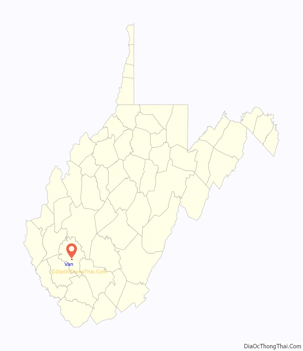
Van is a census-designated place (CDP) in Boone County, West Virginia, United States, along the Pond Fork of the Little Coal River. As of the 2010 census, its population was 211. Its ZIP code is 25206. Van was named after Van Linville, who established its post office and served as its first postmaster.
| Name: | Van CDP |
|---|---|
| LSAD Code: | 57 |
| LSAD Description: | CDP (suffix) |
| State: | West Virginia |
| County: | Boone County |
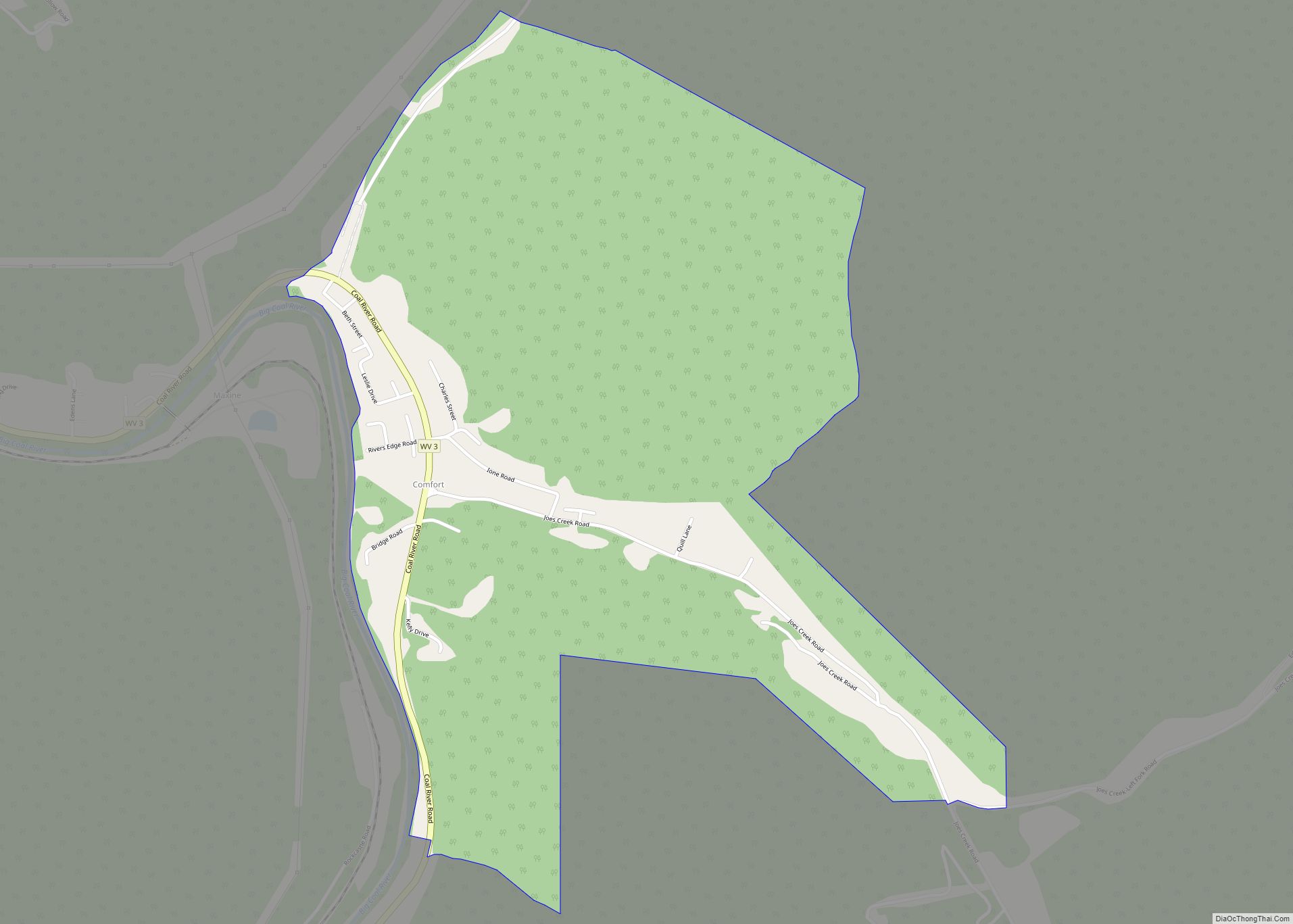
| Total Area: | 0.614 sq mi (1.59 km²) |
| Land Area: | 0.598 sq mi (1.55 km²) |
| Water Area: | 0.016 sq mi (0.04 km²) |
| Total Population: | 211 |
| Population Density: | 340/sq mi (130/km²) |
| ZIP code: | 25206 |
| FIPS code: | 5482852 |
Online Interactive Map
Click on ![]() to view map in "full screen" mode.
to view map in "full screen" mode.
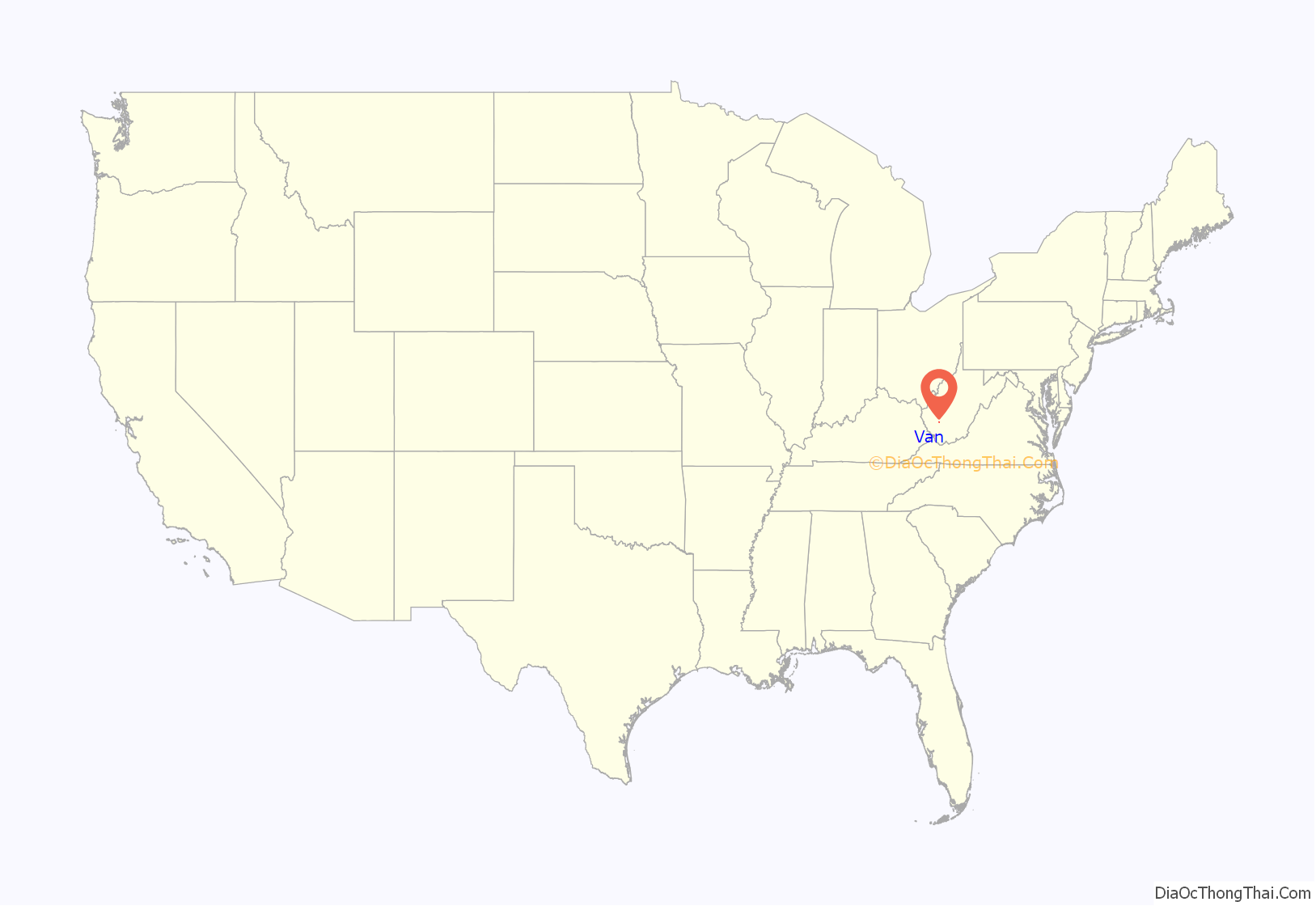
Van location map. Where is Van CDP?
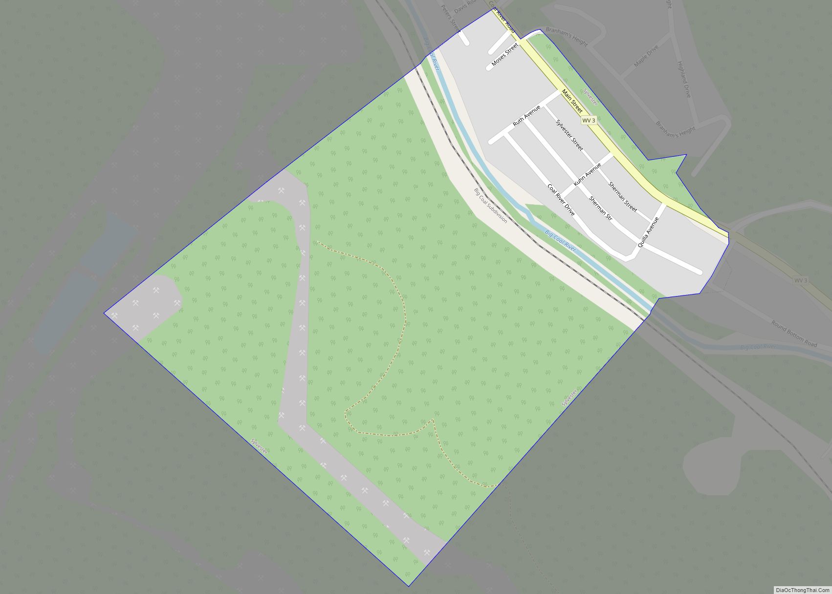
Van Road Map

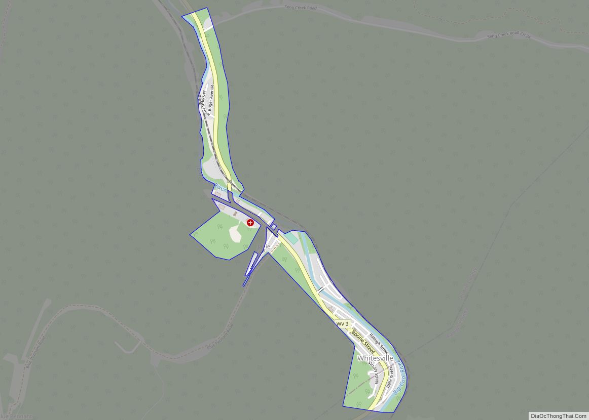
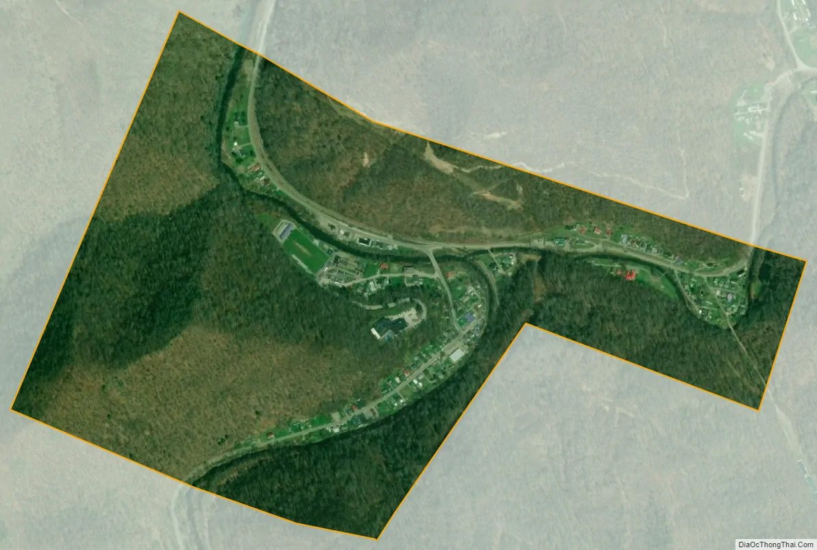
Van city Satellite Map
Geography
Van is one of the many small communities on West Virginia Route 85, which winds through valley after valley staying close beside the Little Coal River. Van is mostly residential with a gas station, a pharmacy, a flower shop, a few churches, a pizza take out, an elementary school, a junior/senior high school, a Christian school, a volunteer fire department, an Ambulance Station, and a Senior Nutrition Center. The Pond Fork of the Little Coal river that runs through Van is a designated stream that the West Virginia Department of Natural Resources stocks fish, such as trout, a few times a year.
See also
Map of West Virginia State and its subdivision:- Barbour
- Berkeley
- Boone
- Braxton
- Brooke
- Cabell
- Calhoun
- Clay
- Doddridge
- Fayette
- Gilmer
- Grant
- Greenbrier
- Hampshire
- Hancock
- Hardy
- Harrison
- Jackson
- Jefferson
- Kanawha
- Lewis
- Lincoln
- Logan
- Marion
- Marshall
- Mason
- McDowell
- Mercer
- Mineral
- Mingo
- Monongalia
- Monroe
- Morgan
- Nicholas
- Ohio
- Pendleton
- Pleasants
- Pocahontas
- Preston
- Putnam
- Raleigh
- Randolph
- Ritchie
- Roane
- Summers
- Taylor
- Tucker
- Tyler
- Upshur
- Wayne
- Webster
- Wetzel
- Wirt
- Wood
- Wyoming
- Alabama
- Alaska
- Arizona
- Arkansas
- California
- Colorado
- Connecticut
- Delaware
- District of Columbia
- Florida
- Georgia
- Hawaii
- Idaho
- Illinois
- Indiana
- Iowa
- Kansas
- Kentucky
- Louisiana
- Maine
- Maryland
- Massachusetts
- Michigan
- Minnesota
- Mississippi
- Missouri
- Montana
- Nebraska
- Nevada
- New Hampshire
- New Jersey
- New Mexico
- New York
- North Carolina
- North Dakota
- Ohio
- Oklahoma
- Oregon
- Pennsylvania
- Rhode Island
- South Carolina
- South Dakota
- Tennessee
- Texas
- Utah
- Vermont
- Virginia
- Washington
- West Virginia
- Wisconsin
- Wyoming