Westover is a city in Monongalia County, West Virginia, United States, along the Monongahela River. The population was 3,995 at the 2020 census. It is part of the Morgantown metropolitan area.
| Name: | Westover city |
|---|---|
| LSAD Code: | 25 |
| LSAD Description: | city (suffix) |
| State: | West Virginia |
| County: | Monongalia County |
| Elevation: | 945 ft (288 m) |
| Total Area: | 1.50 sq mi (3.90 km²) |
| Land Area: | 1.50 sq mi (3.89 km²) |
| Water Area: | 0.00 sq mi (0.00 km²) |
| Total Population: | 3,955 |
| Population Density: | 2,776.45/sq mi (1,072.10/km²) |
| ZIP code: | 26501-26502 |
| Area code: | 304 |
| FIPS code: | 5485996 |
| GNISfeature ID: | 1555960 |
| Website: | https://www.westoverwv.org |
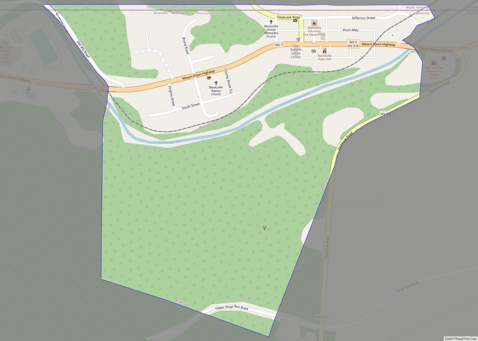
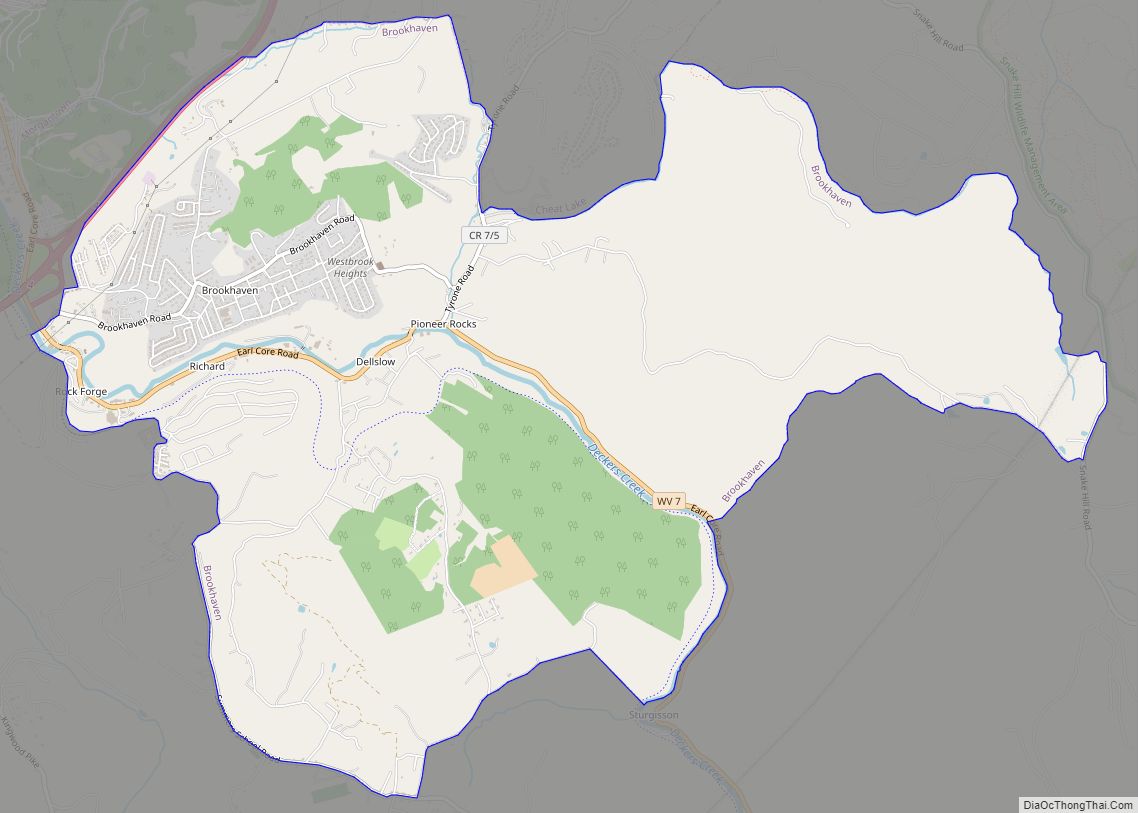
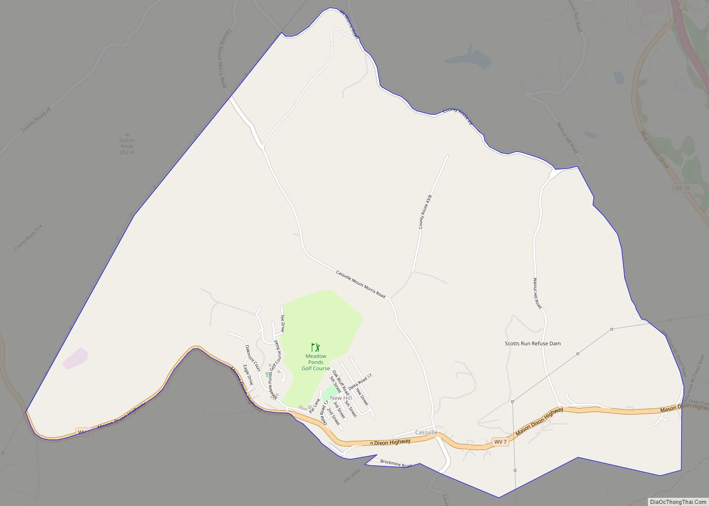
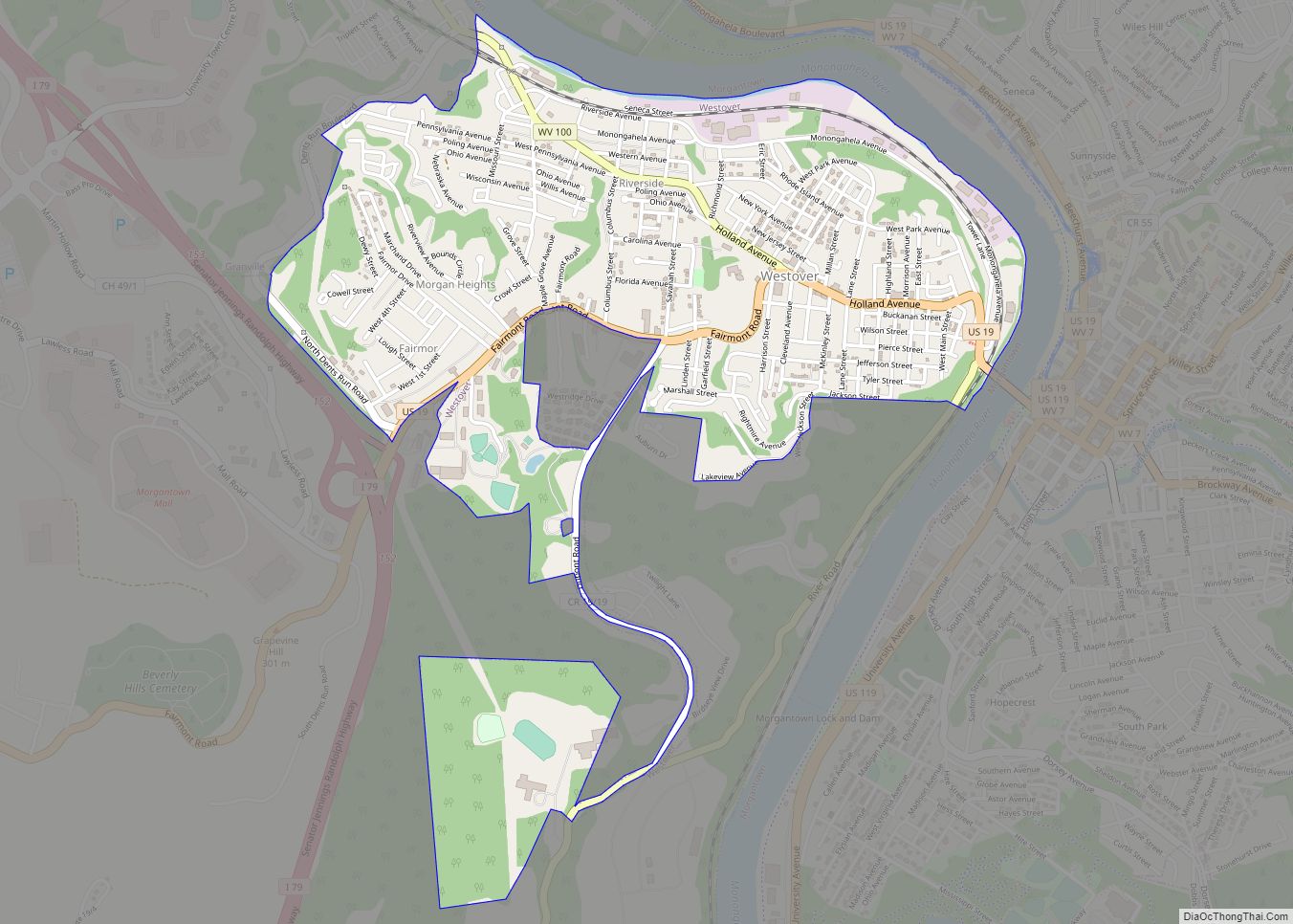
Online Interactive Map
Click on ![]() to view map in "full screen" mode.
to view map in "full screen" mode.
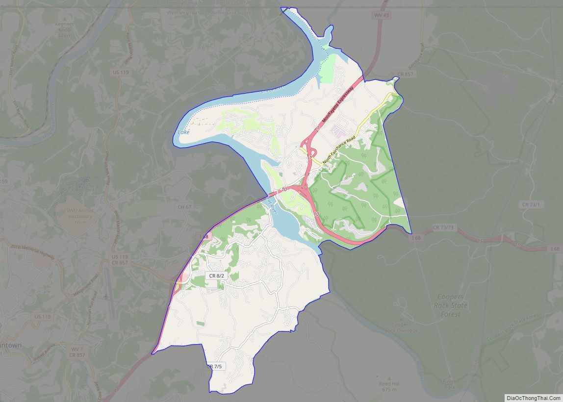
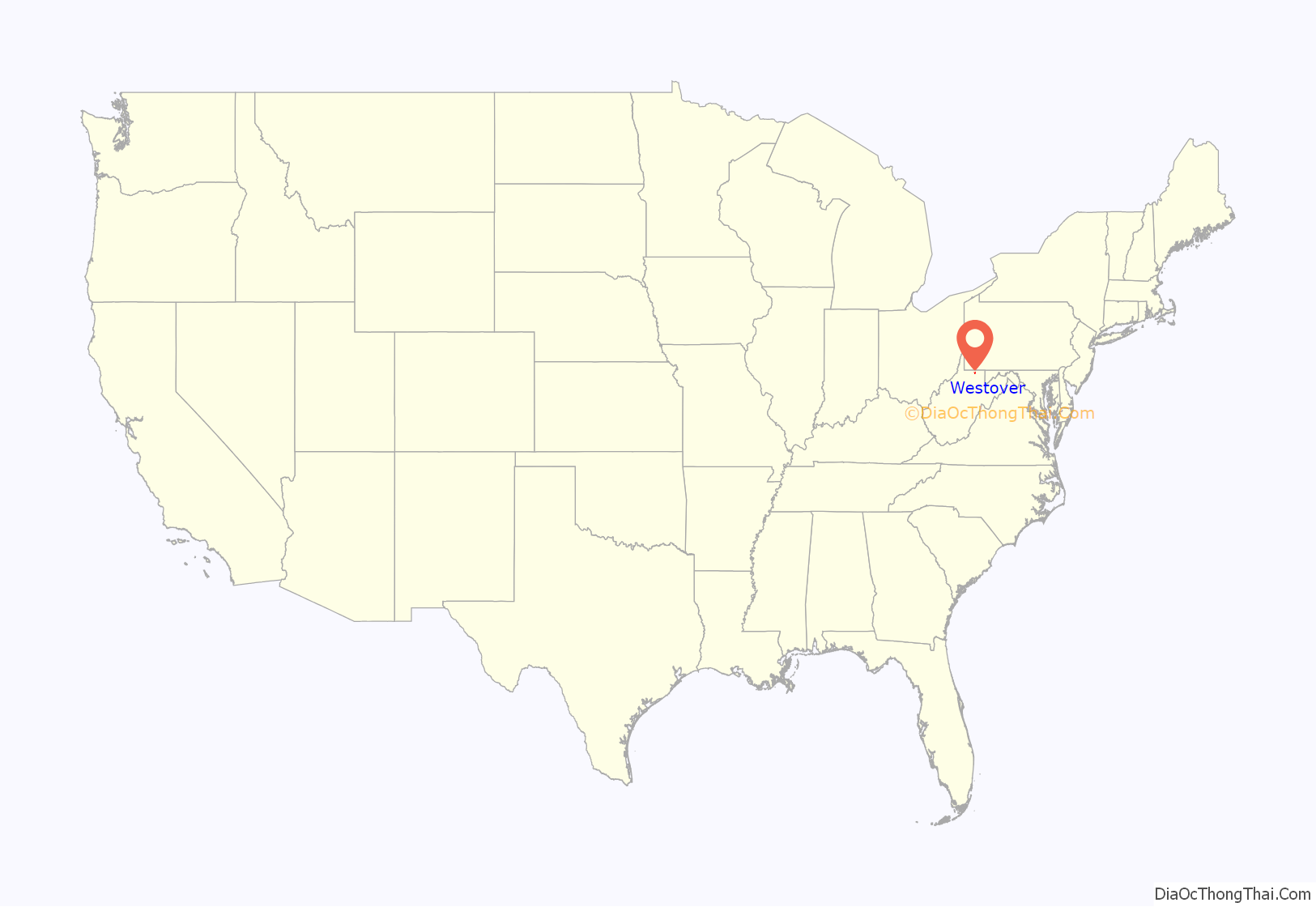
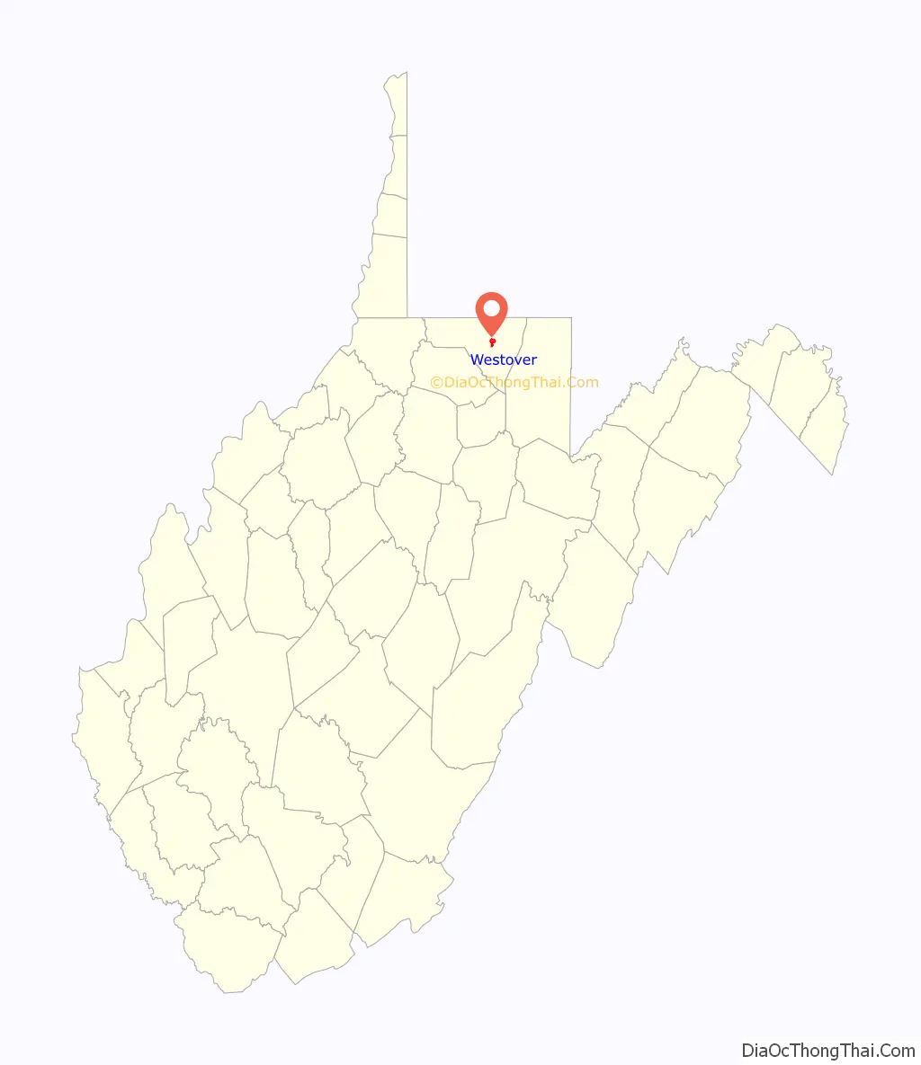
Westover location map. Where is Westover city?
History
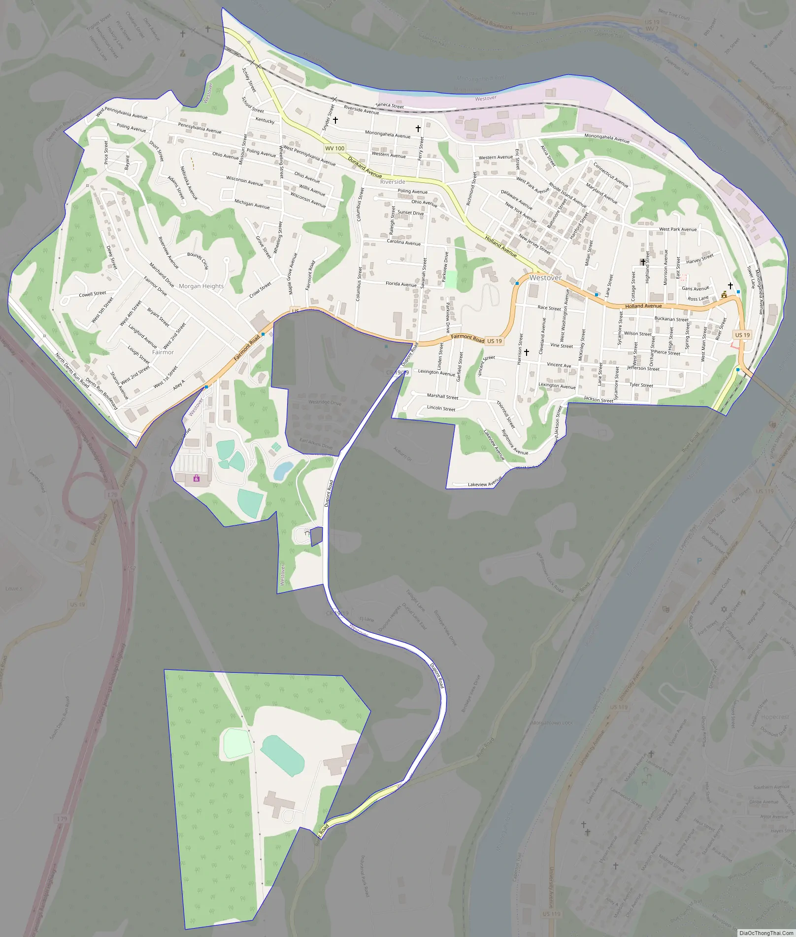
Westover was named from its location over the river from Morgantown. Westover was incorporated on October 12, 1911. Westover expanded from its original area to include Riverside on November 27, 1945, Morgan Heights, Fairmor and Maple Grove on November 22, 1947; and the area in which Westover Park was built on March 10, 1955.
Westover Road Map
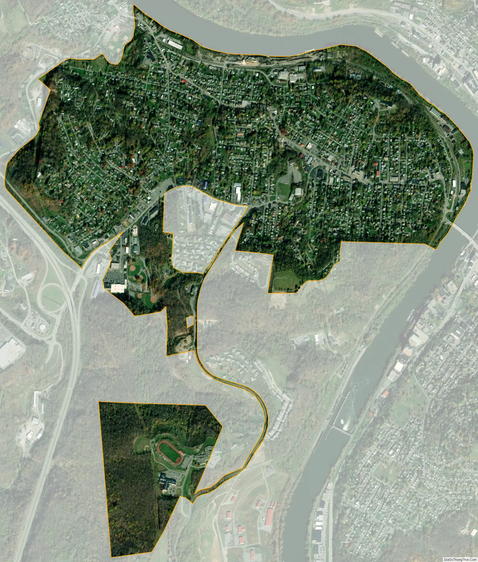
Westover city Satellite Map
Geography
Westover is located at 39°38′6″N 79°58′28″W / 39.63500°N 79.97444°W / 39.63500; -79.97444 (39.635095, -79.974382).
According to the United States Census Bureau, the city has a total area of 1.51 square miles (3.91 km), all land.
See also
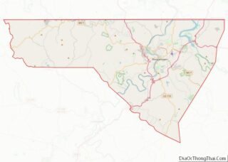
Map of West Virginia State and its subdivision:- Barbour
- Berkeley
- Boone
- Braxton
- Brooke
- Cabell
- Calhoun
- Clay
- Doddridge
- Fayette
- Gilmer
- Grant
- Greenbrier
- Hampshire
- Hancock
- Hardy
- Harrison
- Jackson
- Jefferson
- Kanawha
- Lewis
- Lincoln
- Logan
- Marion
- Marshall
- Mason
- McDowell
- Mercer
- Mineral
- Mingo
- Monongalia
- Monroe
- Morgan
- Nicholas
- Ohio
- Pendleton
- Pleasants
- Pocahontas
- Preston
- Putnam
- Raleigh
- Randolph
- Ritchie
- Roane
- Summers
- Taylor
- Tucker
- Tyler
- Upshur
- Wayne
- Webster
- Wetzel
- Wirt
- Wood
- Wyoming
- Alabama
- Alaska
- Arizona
- Arkansas
- California
- Colorado
- Connecticut
- Delaware
- District of Columbia
- Florida
- Georgia
- Hawaii
- Idaho
- Illinois
- Indiana
- Iowa
- Kansas
- Kentucky
- Louisiana
- Maine
- Maryland
- Massachusetts
- Michigan
- Minnesota
- Mississippi
- Missouri
- Montana
- Nebraska
- Nevada
- New Hampshire
- New Jersey
- New Mexico
- New York
- North Carolina
- North Dakota
- Ohio
- Oklahoma
- Oregon
- Pennsylvania
- Rhode Island
- South Carolina
- South Dakota
- Tennessee
- Texas
- Utah
- Vermont
- Virginia
- Washington
- West Virginia
- Wisconsin
- Wyoming