White Hall is a town in Marion County, West Virginia, United States. The population was 706 at the 2020 census. Incorporated in 1989, White Hall is adjacent to the county seat, Fairmont, and is part of the Fairmont, West Virginia, Micropolitan Statistical Area. White Hall has many different stores and restaurants.
| Name: | White Hall town |
|---|---|
| LSAD Code: | 43 |
| LSAD Description: | town (suffix) |
| State: | West Virginia |
| County: | Marion County |
| Elevation: | 1,158 ft (353 m) |
| Total Area: | 1.05 sq mi (2.73 km²) |
| Land Area: | 1.05 sq mi (2.73 km²) |
| Water Area: | 0.00 sq mi (0.00 km²) |
| Total Population: | 706 |
| Population Density: | 633.08/sq mi (244.35/km²) |
| ZIP code: | 26554-26555 |
| Area code: | 304 |
| FIPS code: | 5486620 |
| GNISfeature ID: | 1555973 |
Online Interactive Map
Click on ![]() to view map in "full screen" mode.
to view map in "full screen" mode.
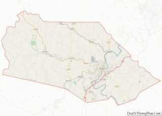
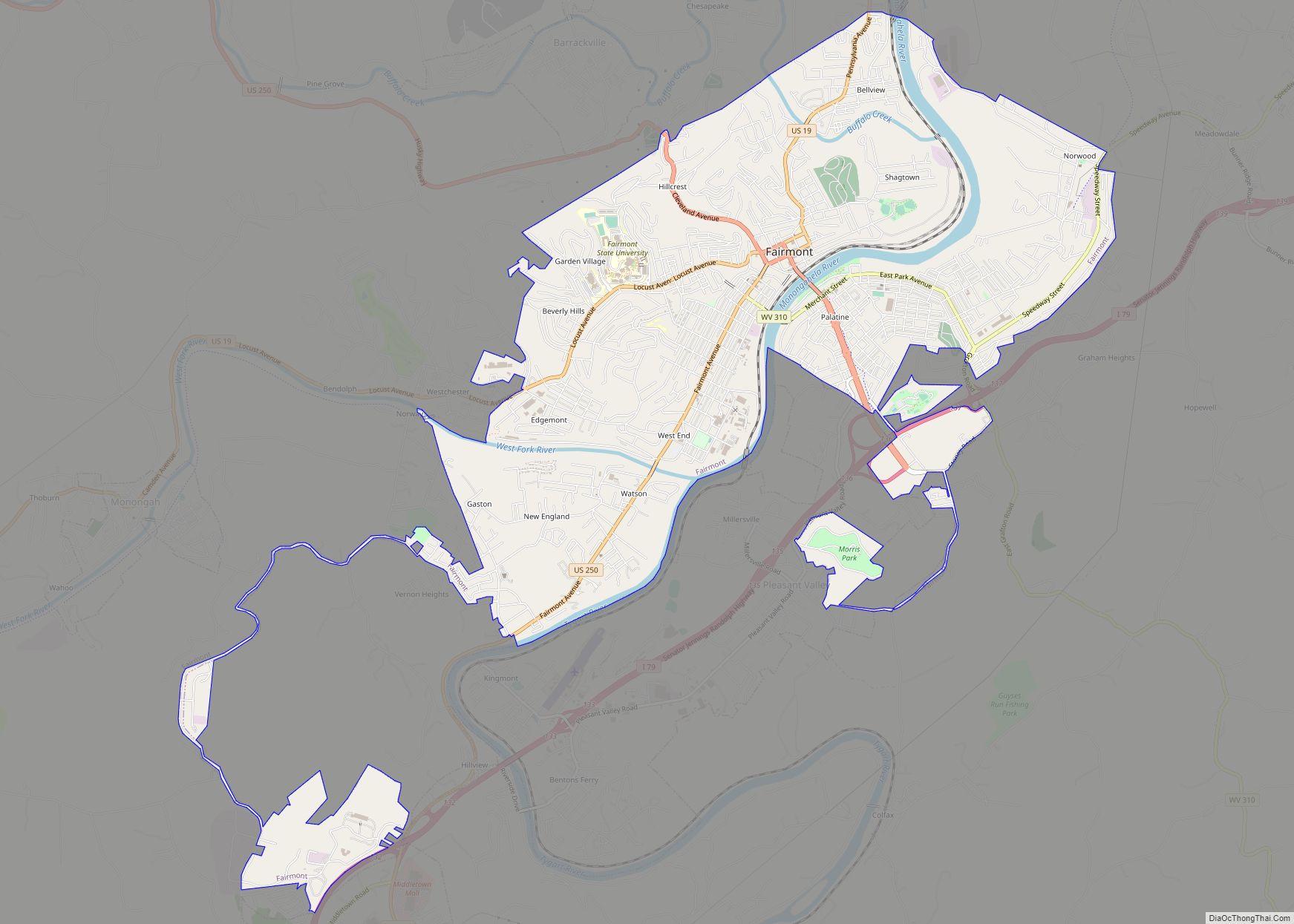
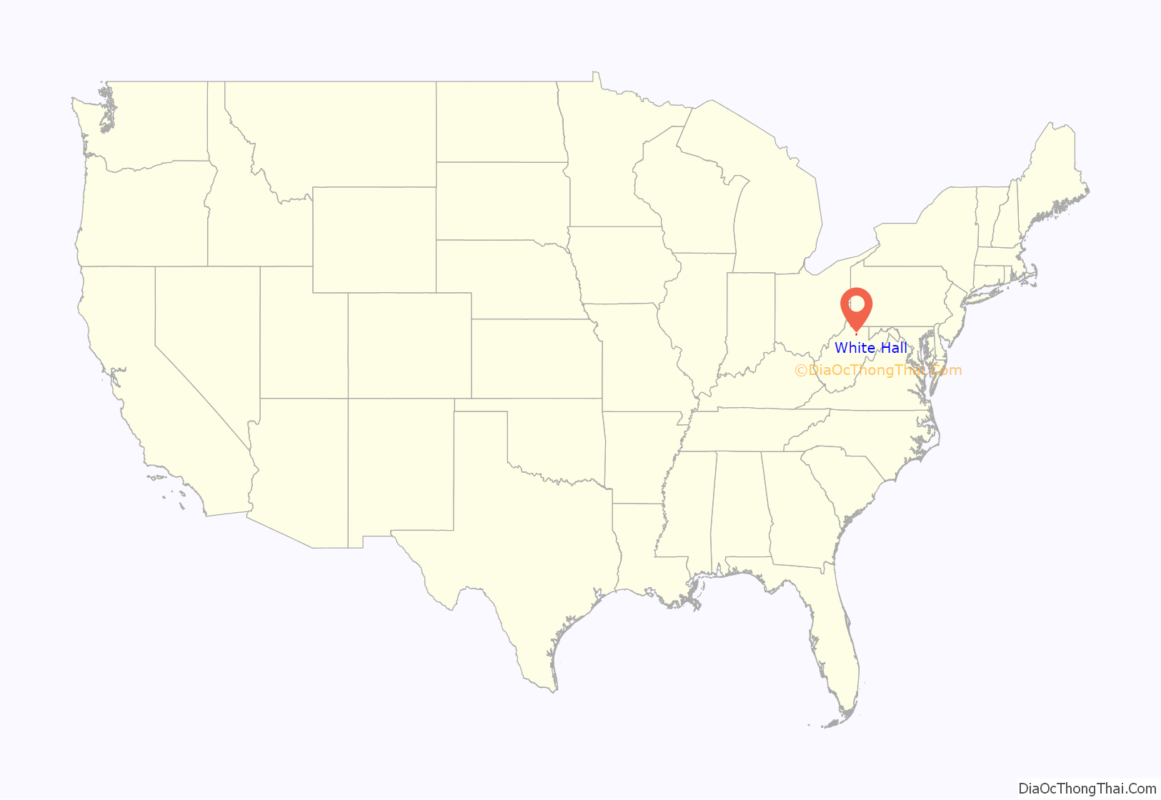
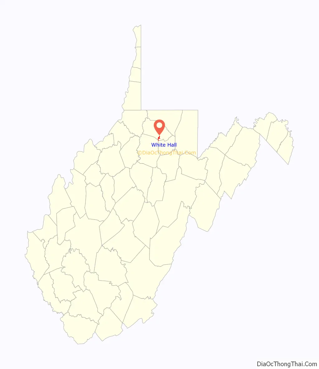
White Hall location map. Where is White Hall town?
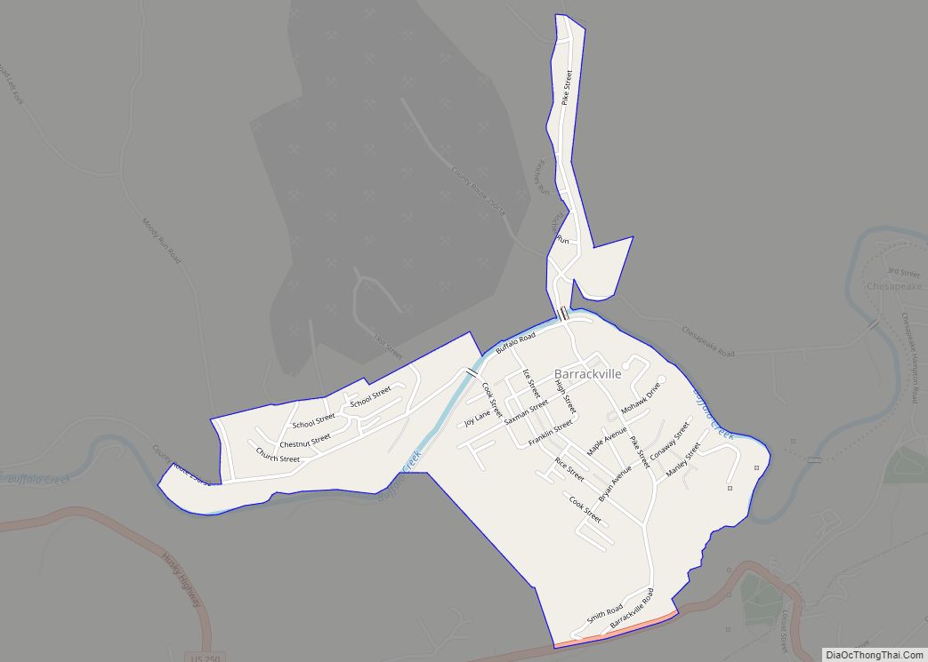
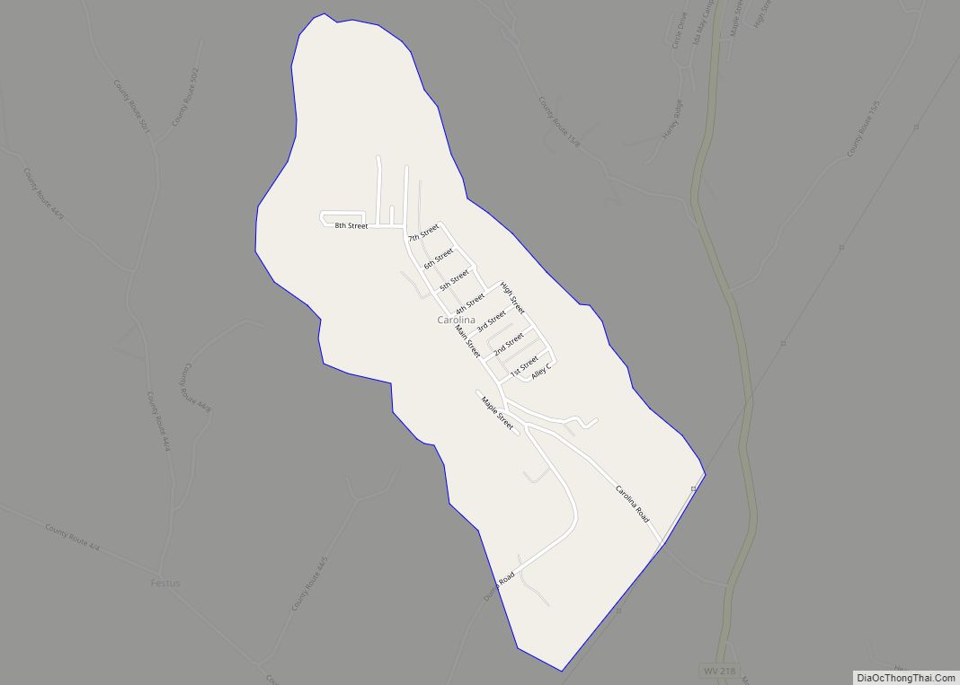
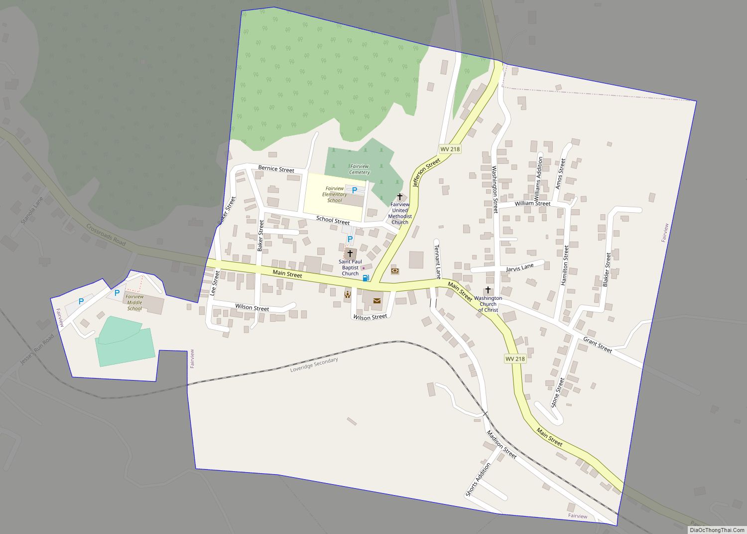
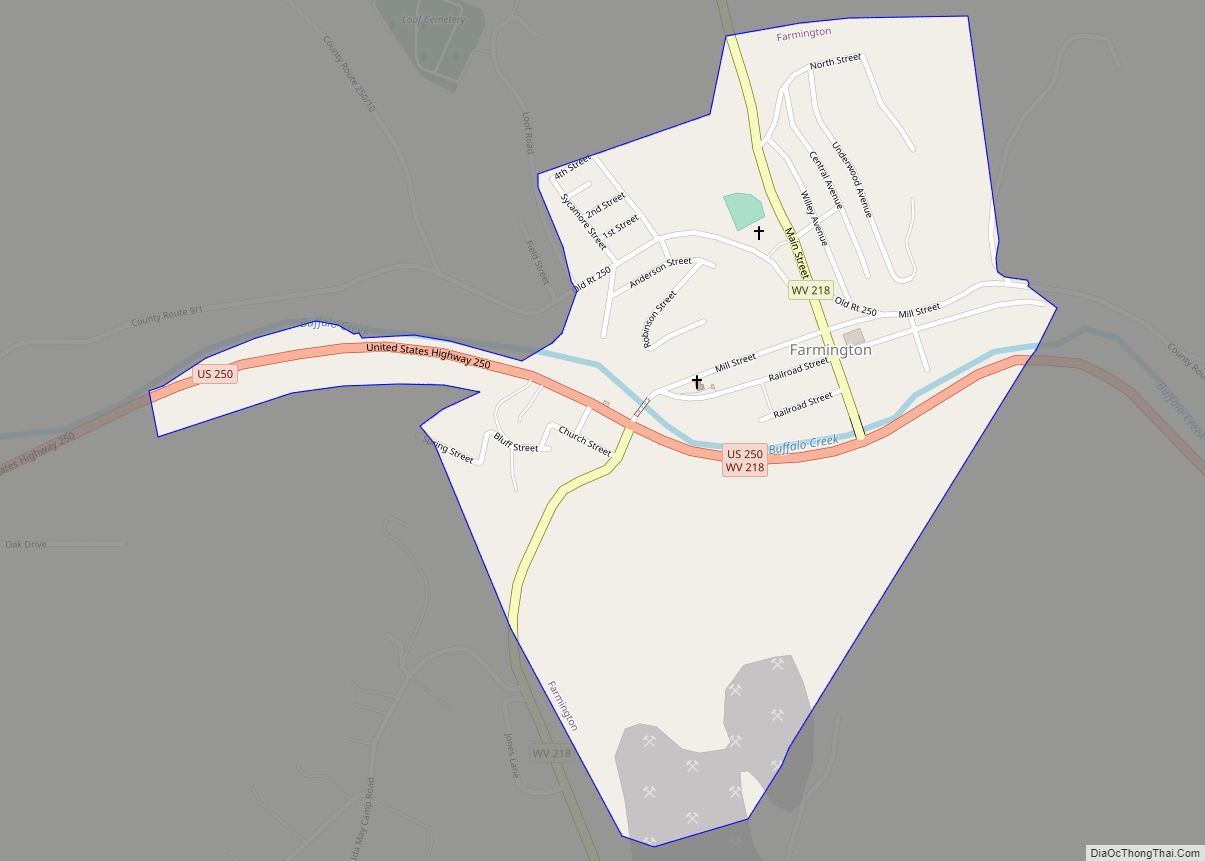
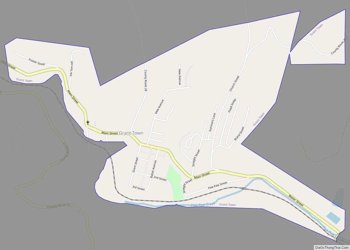
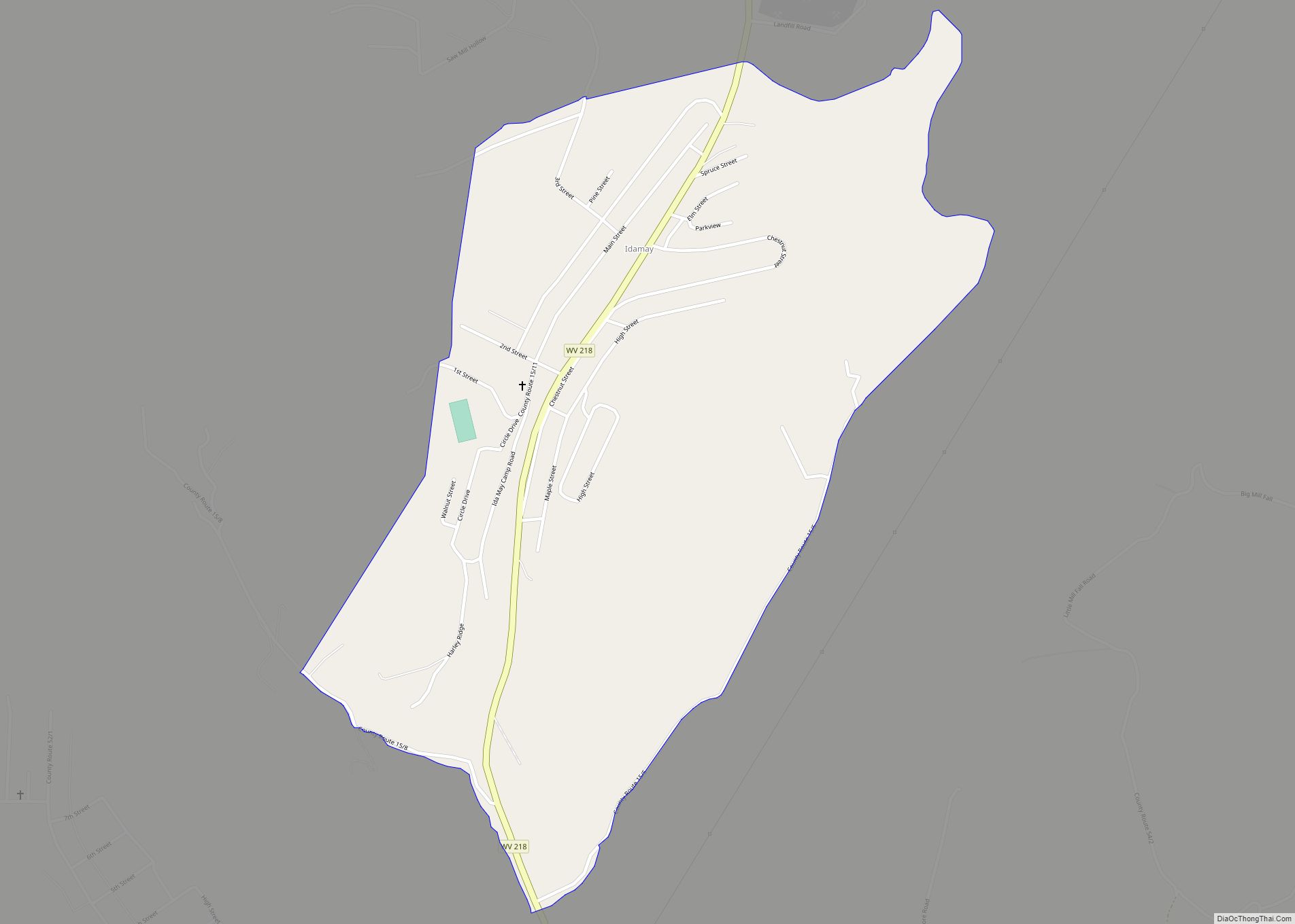
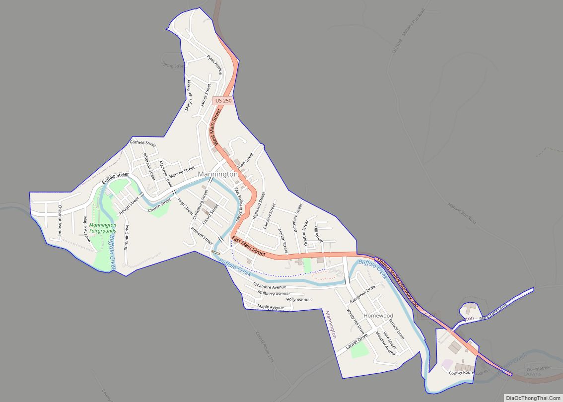
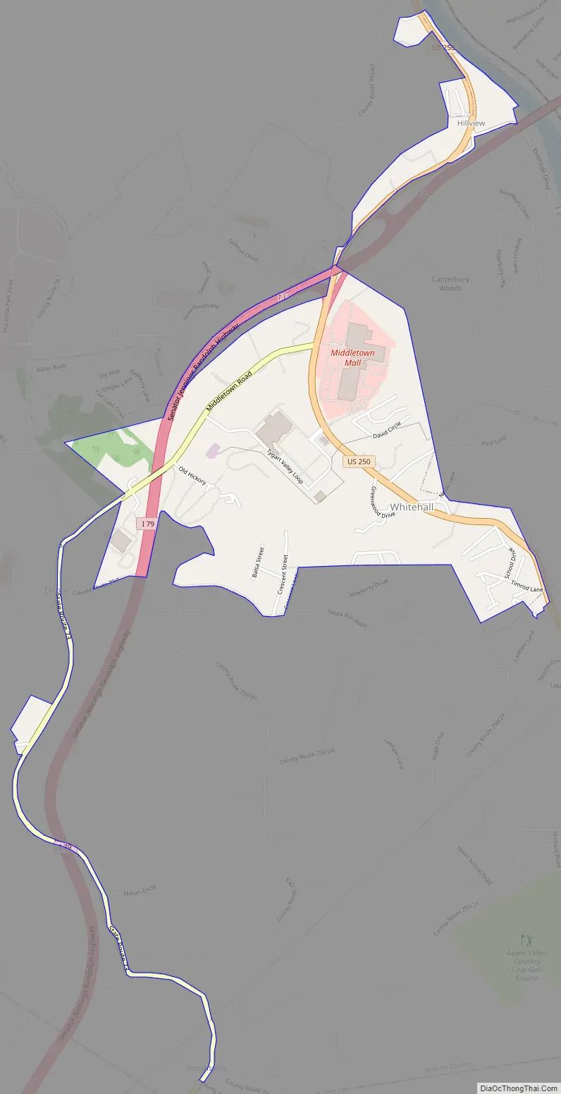
White Hall Road Map
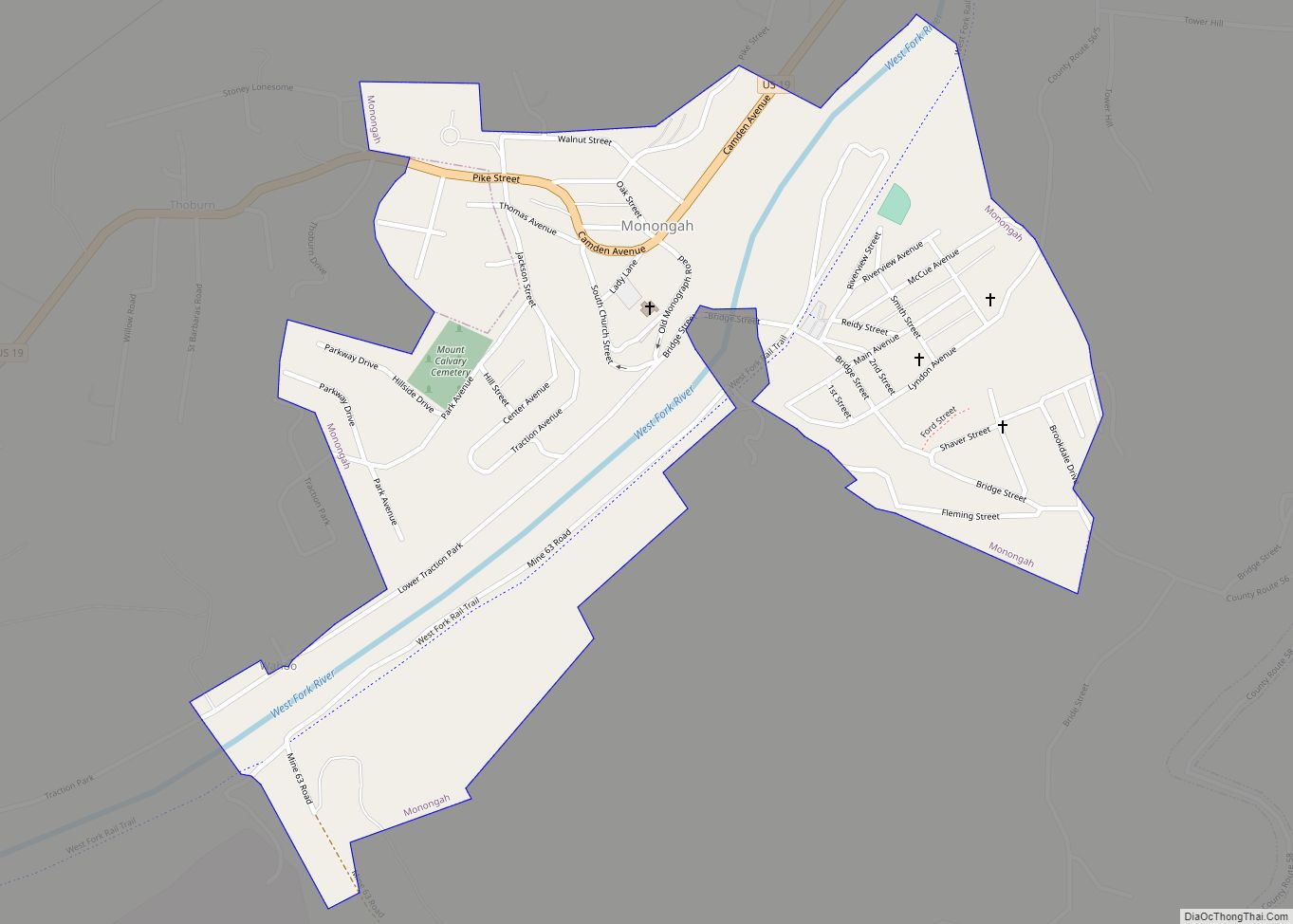
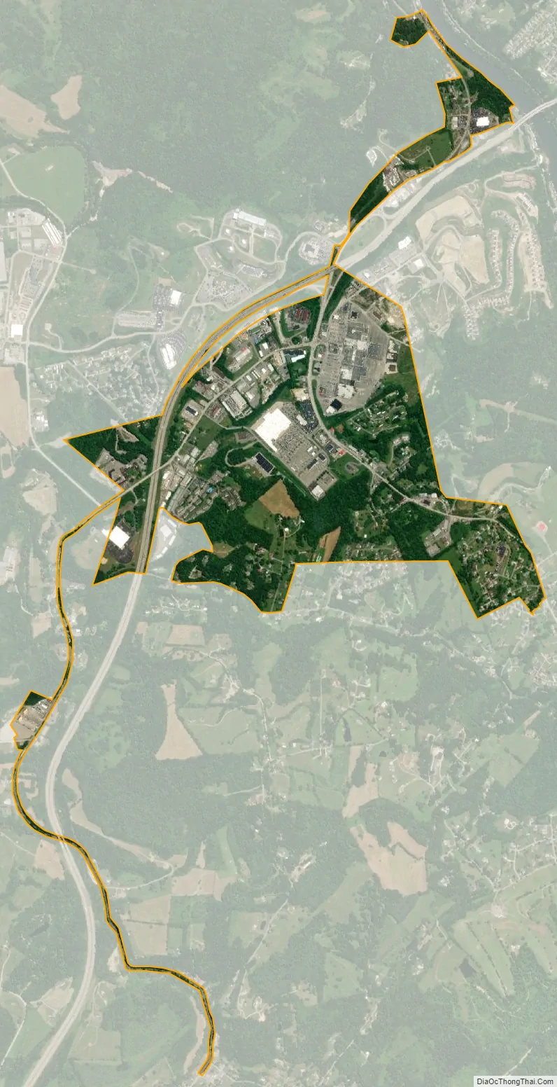
White Hall city Satellite Map
Geography
White Hall is located at 39°25′34″N 80°11′1″W / 39.42611°N 80.18361°W / 39.42611; -80.18361 (39.426223, -80.183541).
According to the United States Census Bureau, the town has a total area of 1.05 square miles (2.72 km), all land.
See also
Map of West Virginia State and its subdivision:- Barbour
- Berkeley
- Boone
- Braxton
- Brooke
- Cabell
- Calhoun
- Clay
- Doddridge
- Fayette
- Gilmer
- Grant
- Greenbrier
- Hampshire
- Hancock
- Hardy
- Harrison
- Jackson
- Jefferson
- Kanawha
- Lewis
- Lincoln
- Logan
- Marion
- Marshall
- Mason
- McDowell
- Mercer
- Mineral
- Mingo
- Monongalia
- Monroe
- Morgan
- Nicholas
- Ohio
- Pendleton
- Pleasants
- Pocahontas
- Preston
- Putnam
- Raleigh
- Randolph
- Ritchie
- Roane
- Summers
- Taylor
- Tucker
- Tyler
- Upshur
- Wayne
- Webster
- Wetzel
- Wirt
- Wood
- Wyoming
- Alabama
- Alaska
- Arizona
- Arkansas
- California
- Colorado
- Connecticut
- Delaware
- District of Columbia
- Florida
- Georgia
- Hawaii
- Idaho
- Illinois
- Indiana
- Iowa
- Kansas
- Kentucky
- Louisiana
- Maine
- Maryland
- Massachusetts
- Michigan
- Minnesota
- Mississippi
- Missouri
- Montana
- Nebraska
- Nevada
- New Hampshire
- New Jersey
- New Mexico
- New York
- North Carolina
- North Dakota
- Ohio
- Oklahoma
- Oregon
- Pennsylvania
- Rhode Island
- South Carolina
- South Dakota
- Tennessee
- Texas
- Utah
- Vermont
- Virginia
- Washington
- West Virginia
- Wisconsin
- Wyoming