Wiley Ford is a census-designated place (CDP) in Mineral County, West Virginia, United States and part of the ‘Cumberland, MD-WV Metropolitan Statistical Area’. The population was 1,026 at the 2010 census.
The community was named after Mr. Wiley, who settled at a nearby ford.
| Name: | Wiley Ford CDP |
|---|---|
| LSAD Code: | 57 |
| LSAD Description: | CDP (suffix) |
| State: | West Virginia |
| County: | Mineral County |
| Elevation: | 682 ft (208 m) |
| Total Area: | 2.9 sq mi (7.5 km²) |
| Land Area: | 2.9 sq mi (7.5 km²) |
| Water Area: | 0.0 sq mi (0.0 km²) |
| Total Population: | 1,026 |
| Population Density: | 350/sq mi (140/km²) |
| ZIP code: | 26767 |
| Area code: | 304 |
| FIPS code: | 5487316 |
| GNISfeature ID: | 1555987 |
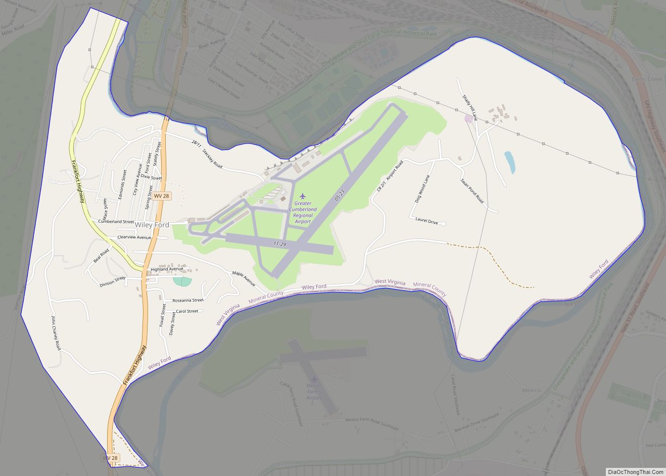
Online Interactive Map
Click on ![]() to view map in "full screen" mode.
to view map in "full screen" mode.
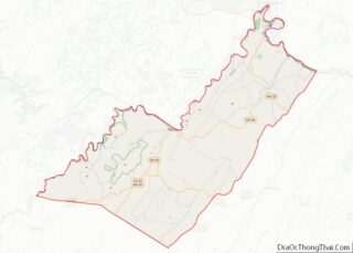
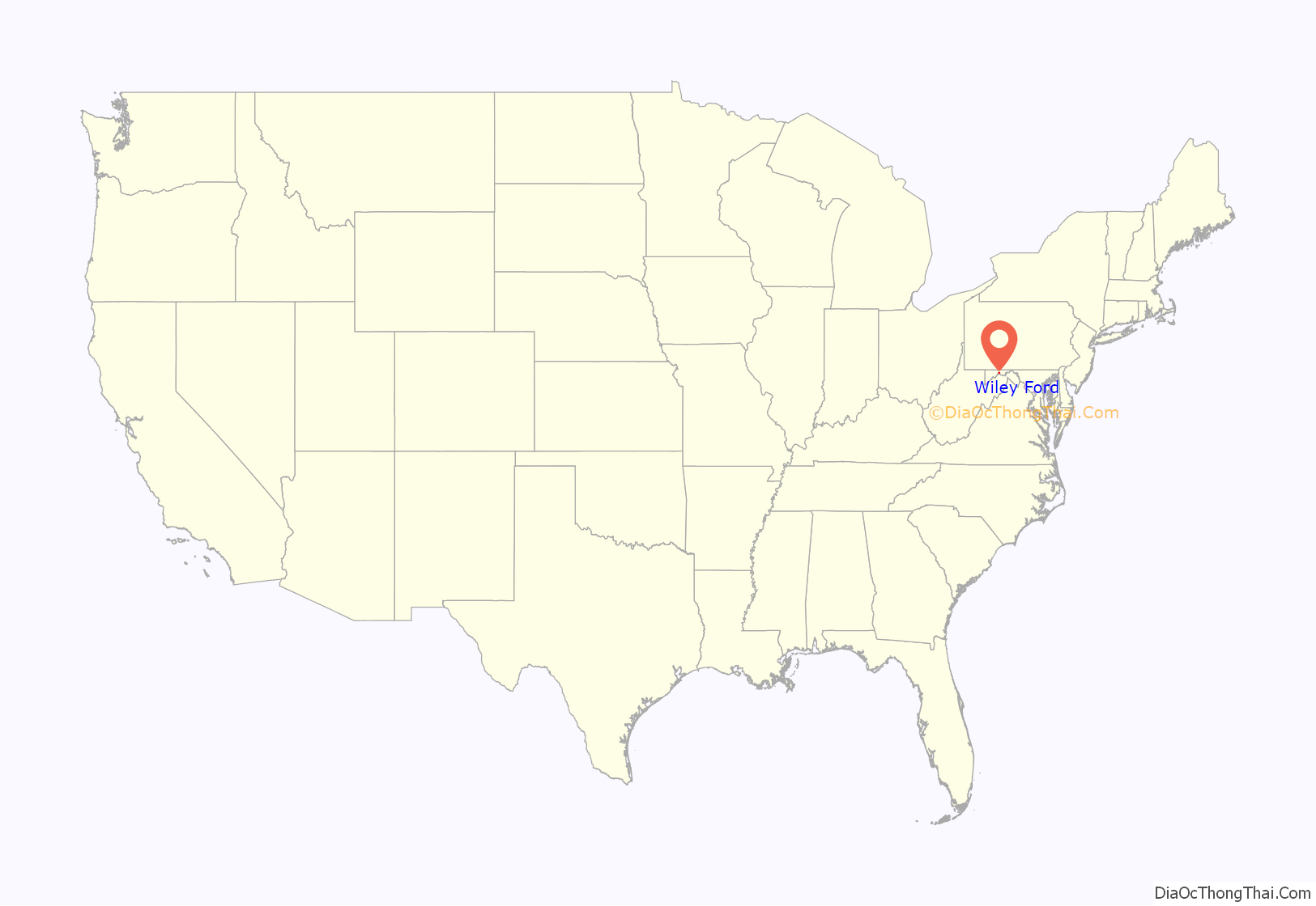
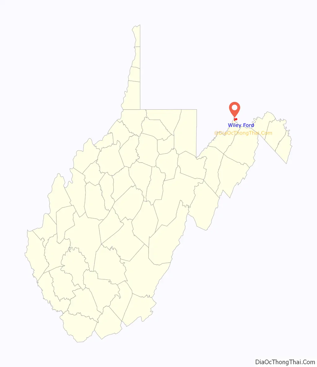
Wiley Ford location map. Where is Wiley Ford CDP?
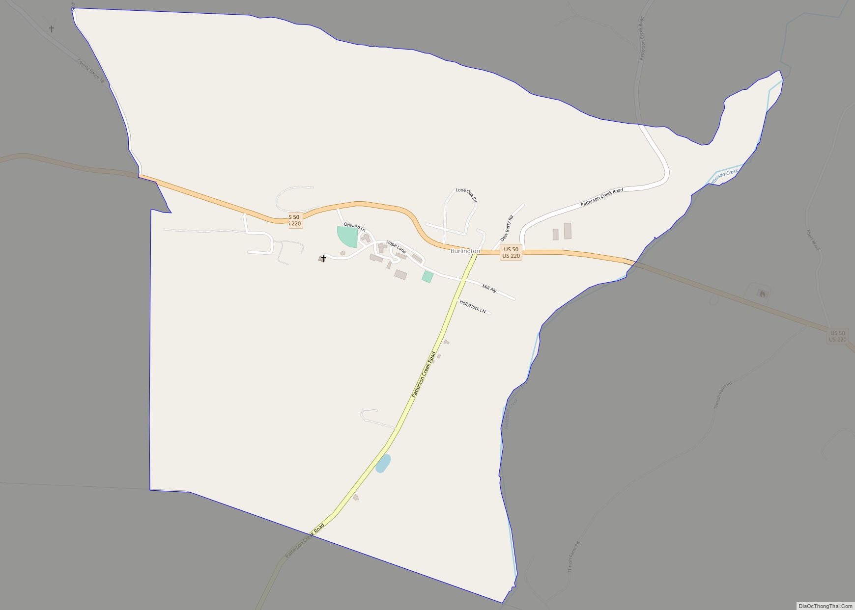
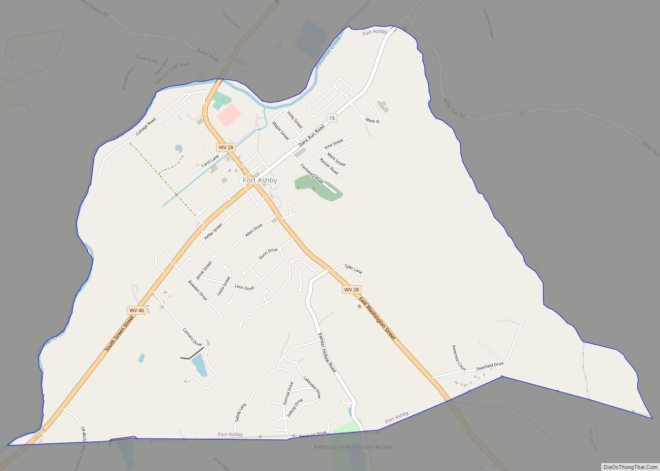
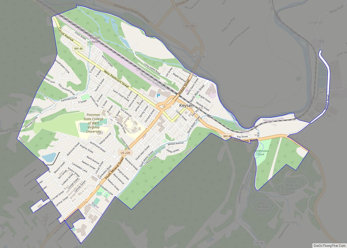
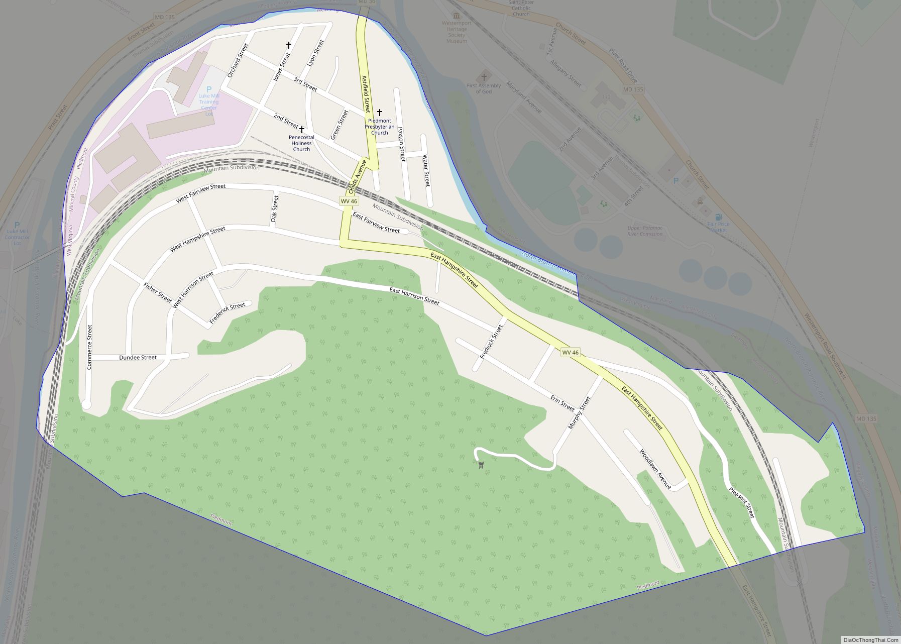
Wiley Ford Road Map
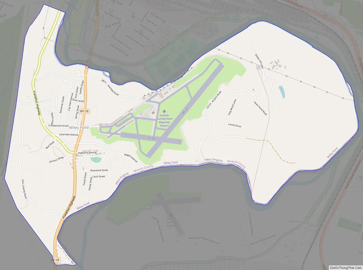
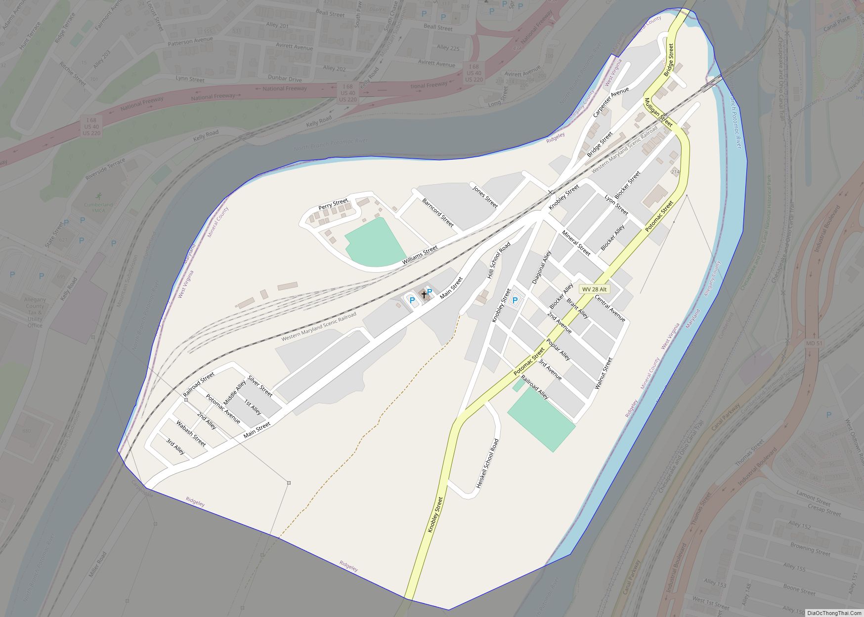
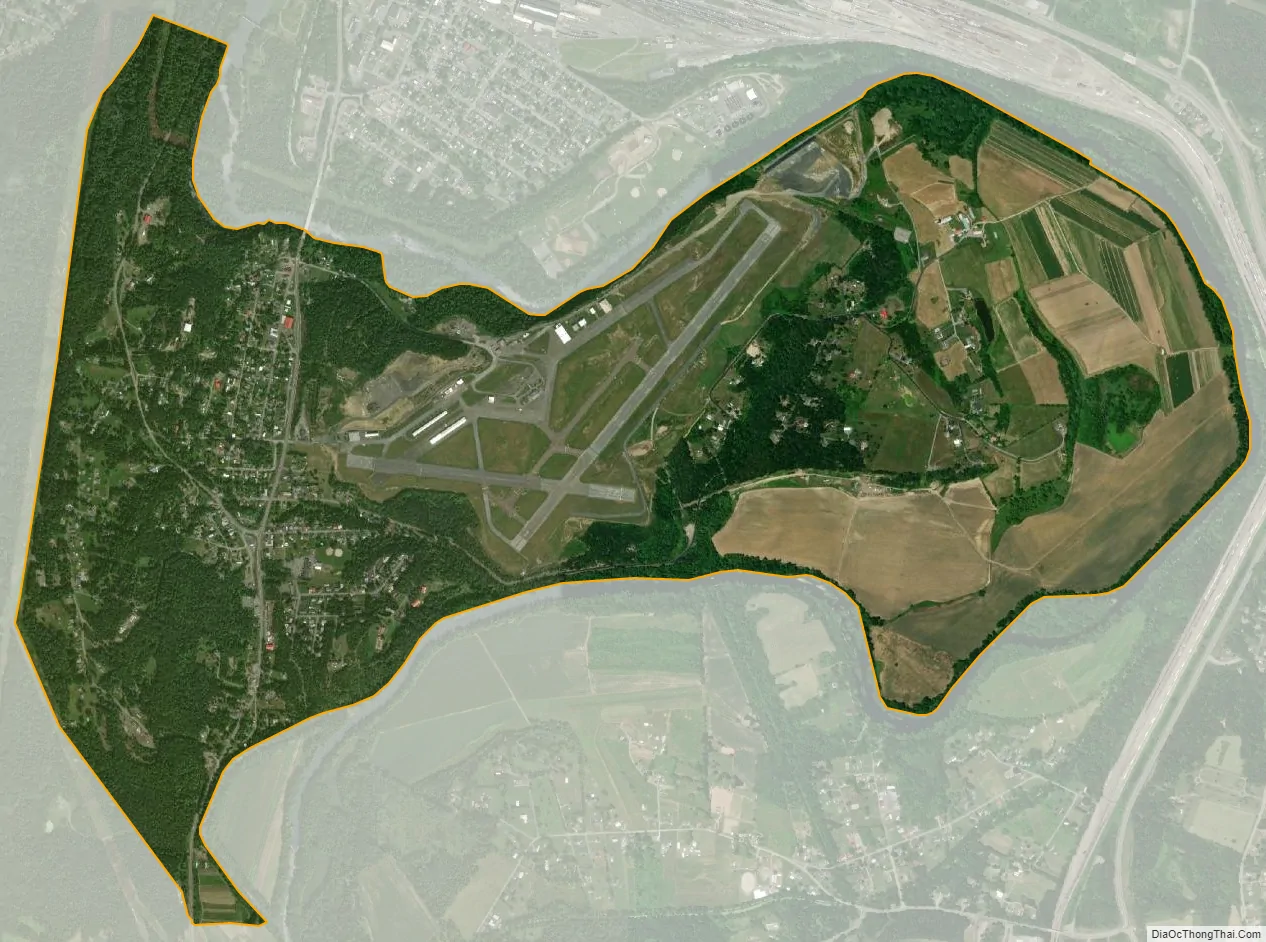
Wiley Ford city Satellite Map
Geography
Wiley Ford is located at 39°36′58″N 78°46′30″W / 39.61611°N 78.77500°W / 39.61611; -78.77500 (39.616008, -78.774898).
According to the United States Census Bureau, the CDP has a total area of 2.9 square miles (7.5 km), all land.
Climate
The climate in this area is characterized by hot, humid summers and generally mild to cool winters. According to the Köppen Climate Classification system, Wiley Ford has a humid subtropical climate, abbreviated “Cfa” on climate maps.
See also
Map of West Virginia State and its subdivision:- Barbour
- Berkeley
- Boone
- Braxton
- Brooke
- Cabell
- Calhoun
- Clay
- Doddridge
- Fayette
- Gilmer
- Grant
- Greenbrier
- Hampshire
- Hancock
- Hardy
- Harrison
- Jackson
- Jefferson
- Kanawha
- Lewis
- Lincoln
- Logan
- Marion
- Marshall
- Mason
- McDowell
- Mercer
- Mineral
- Mingo
- Monongalia
- Monroe
- Morgan
- Nicholas
- Ohio
- Pendleton
- Pleasants
- Pocahontas
- Preston
- Putnam
- Raleigh
- Randolph
- Ritchie
- Roane
- Summers
- Taylor
- Tucker
- Tyler
- Upshur
- Wayne
- Webster
- Wetzel
- Wirt
- Wood
- Wyoming
- Alabama
- Alaska
- Arizona
- Arkansas
- California
- Colorado
- Connecticut
- Delaware
- District of Columbia
- Florida
- Georgia
- Hawaii
- Idaho
- Illinois
- Indiana
- Iowa
- Kansas
- Kentucky
- Louisiana
- Maine
- Maryland
- Massachusetts
- Michigan
- Minnesota
- Mississippi
- Missouri
- Montana
- Nebraska
- Nevada
- New Hampshire
- New Jersey
- New Mexico
- New York
- North Carolina
- North Dakota
- Ohio
- Oklahoma
- Oregon
- Pennsylvania
- Rhode Island
- South Carolina
- South Dakota
- Tennessee
- Texas
- Utah
- Vermont
- Virginia
- Washington
- West Virginia
- Wisconsin
- Wyoming