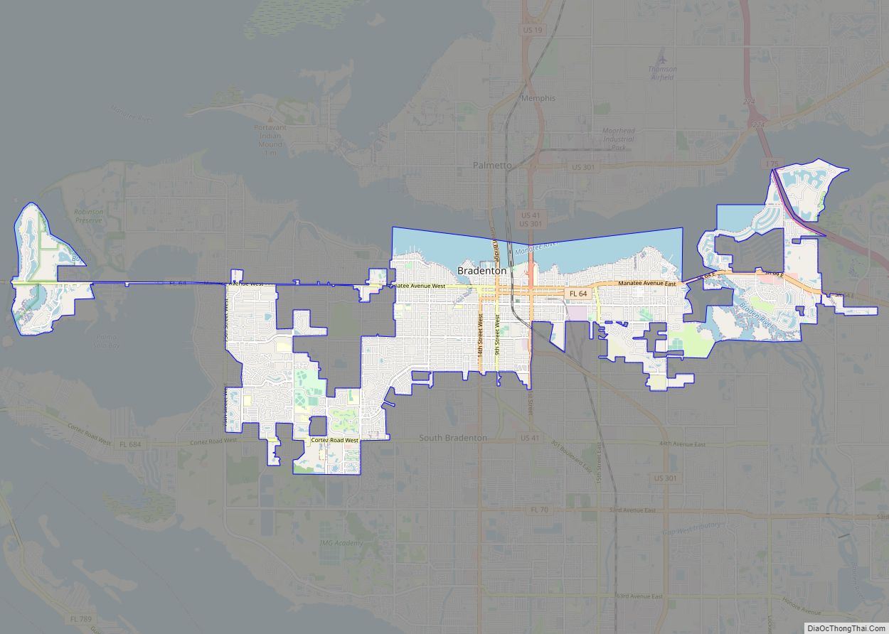
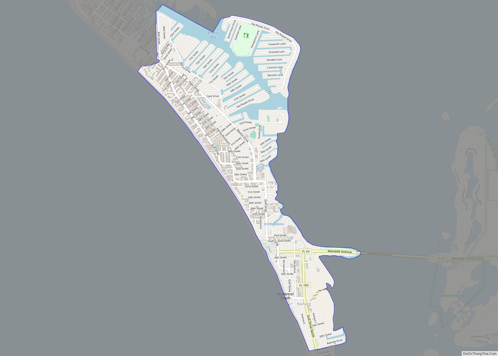
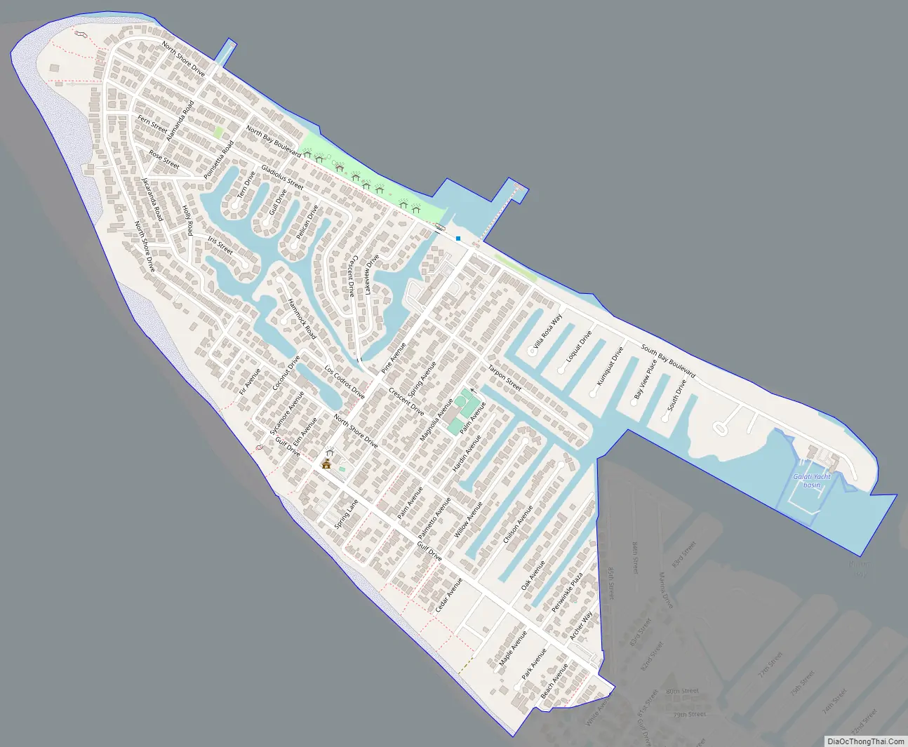
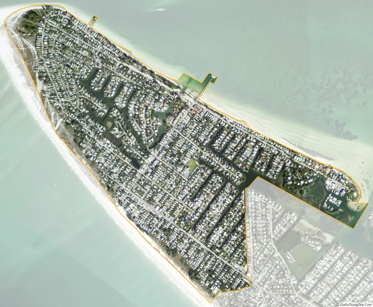
Anna Maria is a city in Manatee County, Florida, United States. The population was 968 at the 2020 census, down from 1,503 in 2010. The city occupies the northern part of Anna Maria Island and is one of three municipalities on the island. The others are Holmes Beach in the center and Bradenton Beach in the south.
Anna Maria is part of the Bradenton-Sarasota-Venice, Florida Metropolitan Statistical Area.
| Name: | Anna Maria city |
|---|---|
| LSAD Code: | 25 |
| LSAD Description: | city (suffix) |
| State: | Florida |
| County: | Manatee County |
| Elevation: | 4 ft (1 m) |
| Total Area: | 0.86 sq mi (2.23 km²) |
| Land Area: | 0.73 sq mi (1.90 km²) |
| Water Area: | 0.13 sq mi (0.32 km²) |
| Total Population: | 968 |
| Population Density: | 1,317.01/sq mi (508.26/km²) |
| ZIP code: | 34216 |
| Area code: | 941 |
| FIPS code: | 1201475 |
| GNISfeature ID: | 0277889 |
| Website: | www.cityofannamaria.com |
Online Interactive Map
Click on ![]() to view map in "full screen" mode.
to view map in "full screen" mode.
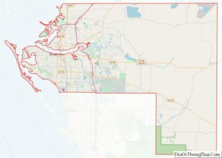
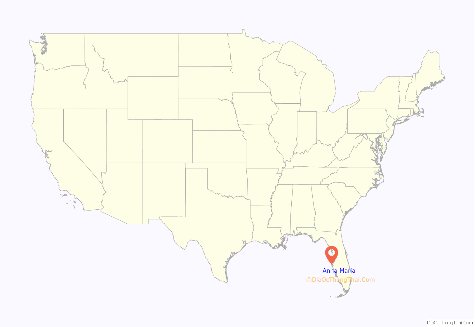
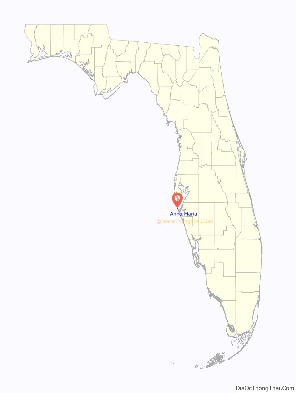
Anna Maria location map. Where is Anna Maria city?
History
In 1893, George Emerson Bean built a home near the present day Rod & Real Pier. Two years later in 1895 he filed a homesteaded claim of 160 acres (0.65 km) on the north part of Anna Maria Island. Prior to Bean’s homestead claim, Andrew Gowanlack would reside in the area where Bean would file his homestead at. However, Andrew never filed for a homestead claim but did receive three acres of land after Bean filed his homestead claim out of squatting rights. After George Bean’s death in 1898, the land went to his son, George Wilhelm Bean, who partnered with Charles Roser, a wealthy real estate developer from St. Petersburg, to form the Anna Maria Beach Company to develop the area.
In 1911, the Anna Maria City Pier would be built by the Anna Maria Beach Company to accommodate steamships carrying residents and visitors to the island. The pier would have several buildings attached to it. An extension of the pier containing a home would be built in 1913 before the area the house was on in the pier was destroyed in September 1927. Sometime during 1927, a jail would be built as a form of containment for bar patrons who were rowdy and was used until 1940 when a fire would burn down its roof and cells.
Compiled in the late 1930s and first published in 1939, the Florida Guide listed Anna Maria’s population as 77 describing it as:
Bradenton would attempt to annex the City of Anna Maria in 1963. Anna Maria would hold a special election that was described as being “non-official” on April 2, 1963, to confirm Bradenton’s decision. However, it would not be approved as 297 voted against it while 9 voted in favor of it.
During Hurricane Irma in 2017, the city pier was damaged significantly. It was demolished the following year with plans to rebuilt it. The historic city pier was rebuilt and opened in April of 2020.
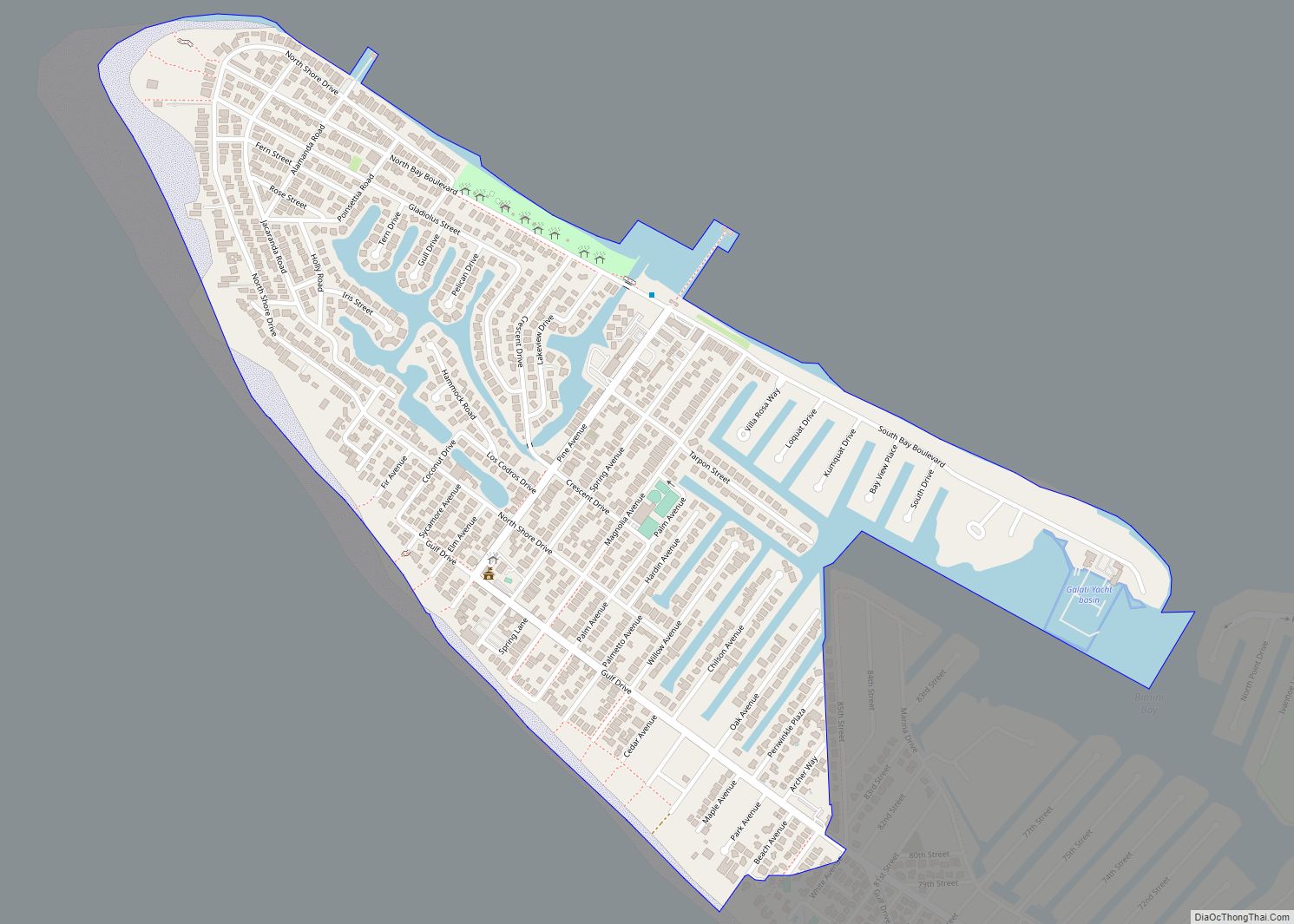
Anna Maria Road Map
Anna Maria city Satellite Map
Geography
The westernmost community in Manatee County, Anna Maria is located on Anna Maria Island at 27°31′49″N 82°44′04″W / 27.530214°N 82.734370°W / 27.530214; -82.734370. It is bordered to the southwest by the Gulf of Mexico and to the northeast by Tampa Bay, connected to the Gulf by Passage Key Inlet at the northwest end of the island. The city is bordered to the southeast by Holmes Beach. Bradenton is 11 miles (18 km) to the east via Florida State Road 64 from Holmes Beacy.
According to the United States Census Bureau, the city of Anna Maria has a total area of 0.86 square miles (2.23 km), of which 0.74 square miles (1.92 km) are land and 0.12 square miles (0.31 km), or 14.53%, are water.
See also
Map of Florida State and its subdivision:- Alachua
- Baker
- Bay
- Bradford
- Brevard
- Broward
- Calhoun
- Charlotte
- Citrus
- Clay
- Collier
- Columbia
- Desoto
- Dixie
- Duval
- Escambia
- Flagler
- Franklin
- Gadsden
- Gilchrist
- Glades
- Gulf
- Hamilton
- Hardee
- Hendry
- Hernando
- Highlands
- Hillsborough
- Holmes
- Indian River
- Jackson
- Jefferson
- Lafayette
- Lake
- Lee
- Leon
- Levy
- Liberty
- Madison
- Manatee
- Marion
- Martin
- Miami-Dade
- Monroe
- Nassau
- Okaloosa
- Okeechobee
- Orange
- Osceola
- Palm Beach
- Pasco
- Pinellas
- Polk
- Putnam
- Saint Johns
- Saint Lucie
- Santa Rosa
- Sarasota
- Seminole
- Sumter
- Suwannee
- Taylor
- Union
- Volusia
- Wakulla
- Walton
- Washington
- Alabama
- Alaska
- Arizona
- Arkansas
- California
- Colorado
- Connecticut
- Delaware
- District of Columbia
- Florida
- Georgia
- Hawaii
- Idaho
- Illinois
- Indiana
- Iowa
- Kansas
- Kentucky
- Louisiana
- Maine
- Maryland
- Massachusetts
- Michigan
- Minnesota
- Mississippi
- Missouri
- Montana
- Nebraska
- Nevada
- New Hampshire
- New Jersey
- New Mexico
- New York
- North Carolina
- North Dakota
- Ohio
- Oklahoma
- Oregon
- Pennsylvania
- Rhode Island
- South Carolina
- South Dakota
- Tennessee
- Texas
- Utah
- Vermont
- Virginia
- Washington
- West Virginia
- Wisconsin
- Wyoming