Lake Asbury is an unincorporated community and census-designated place (CDP) in Clay County, Florida, United States. The population was 8,700 at the 2010 census, which calls it Asbury Lake.
| Name: | Asbury Lake CDP |
|---|---|
| LSAD Code: | 57 |
| LSAD Description: | CDP (suffix) |
| State: | Florida |
| County: | Clay County |
| Elevation: | 33 ft (10 m) |
| Total Area: | 17.23 sq mi (44.63 km²) |
| Land Area: | 16.96 sq mi (43.93 km²) |
| Water Area: | 0.27 sq mi (0.70 km²) |
| Total Population: | 11,036 |
| Population Density: | 650.63/sq mi (251.21/km²) |
| FIPS code: | 1202187 |
| GNISfeature ID: | 1867111 |
Online Interactive Map
Click on ![]() to view map in "full screen" mode.
to view map in "full screen" mode.
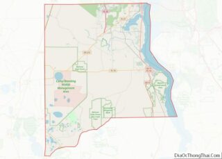
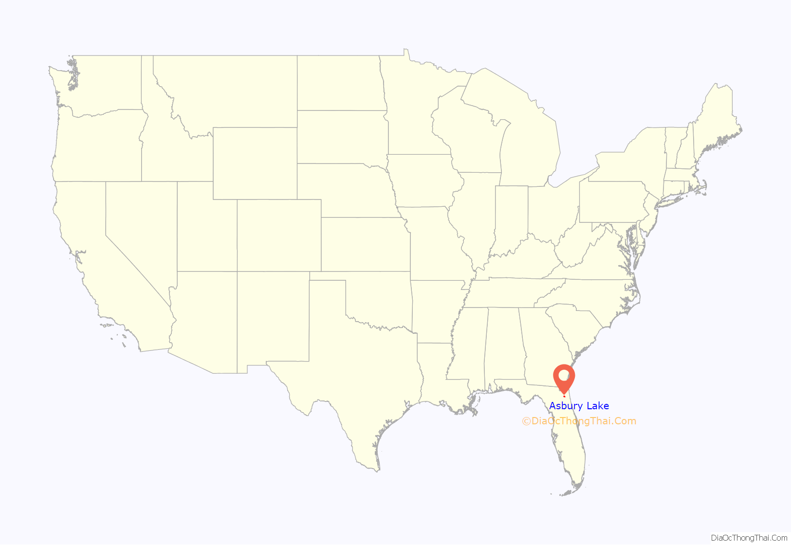
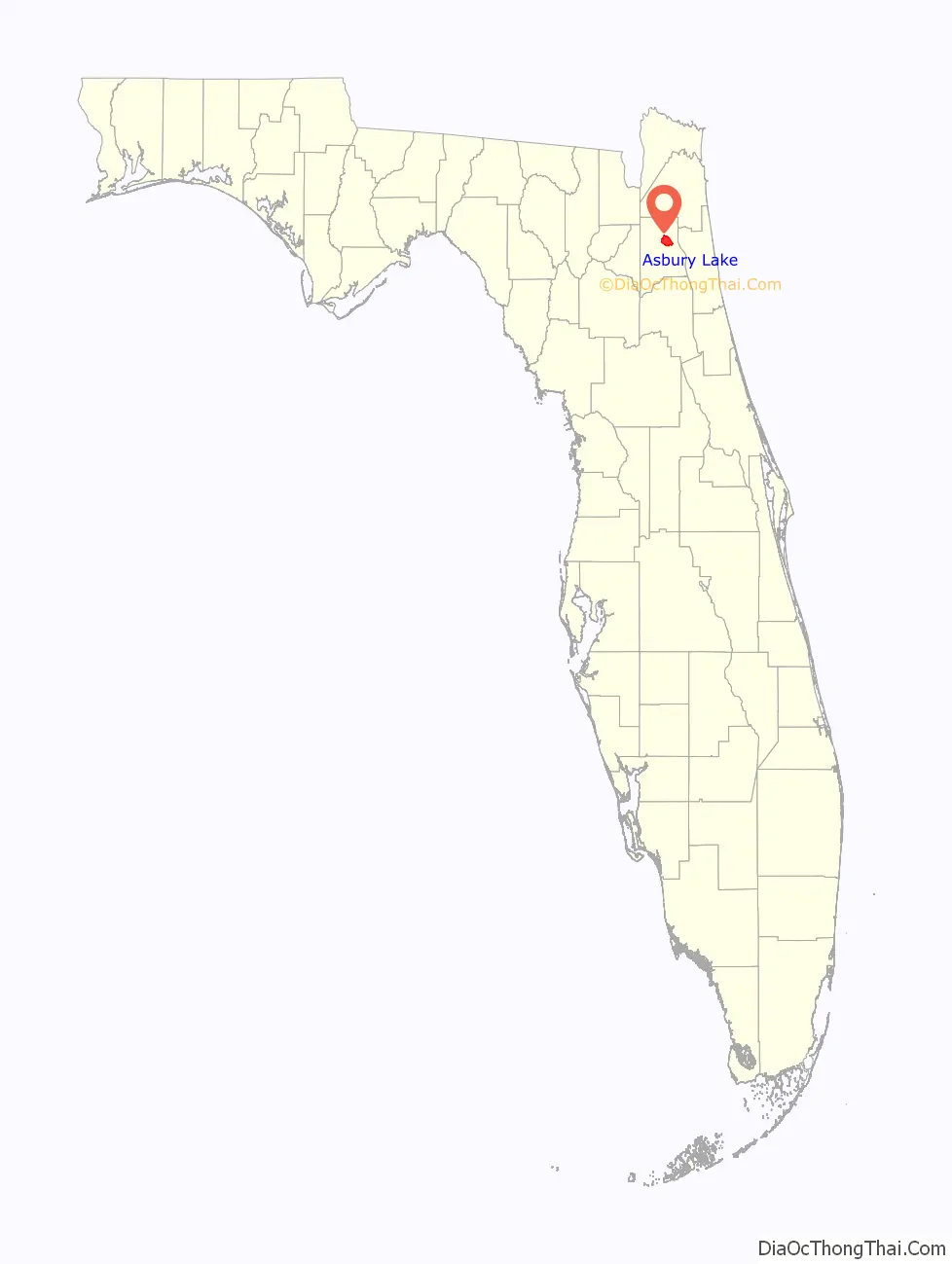
Asbury Lake location map. Where is Asbury Lake CDP?
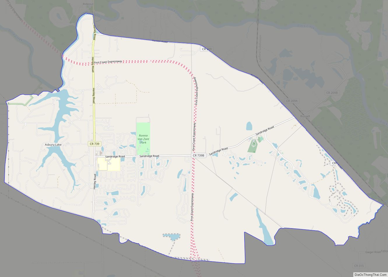
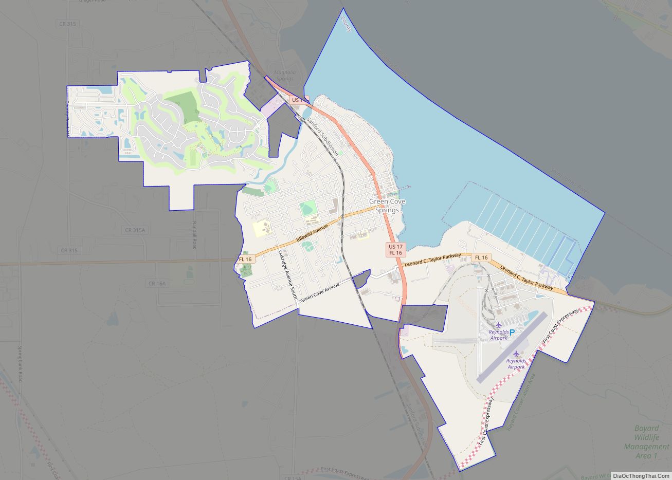
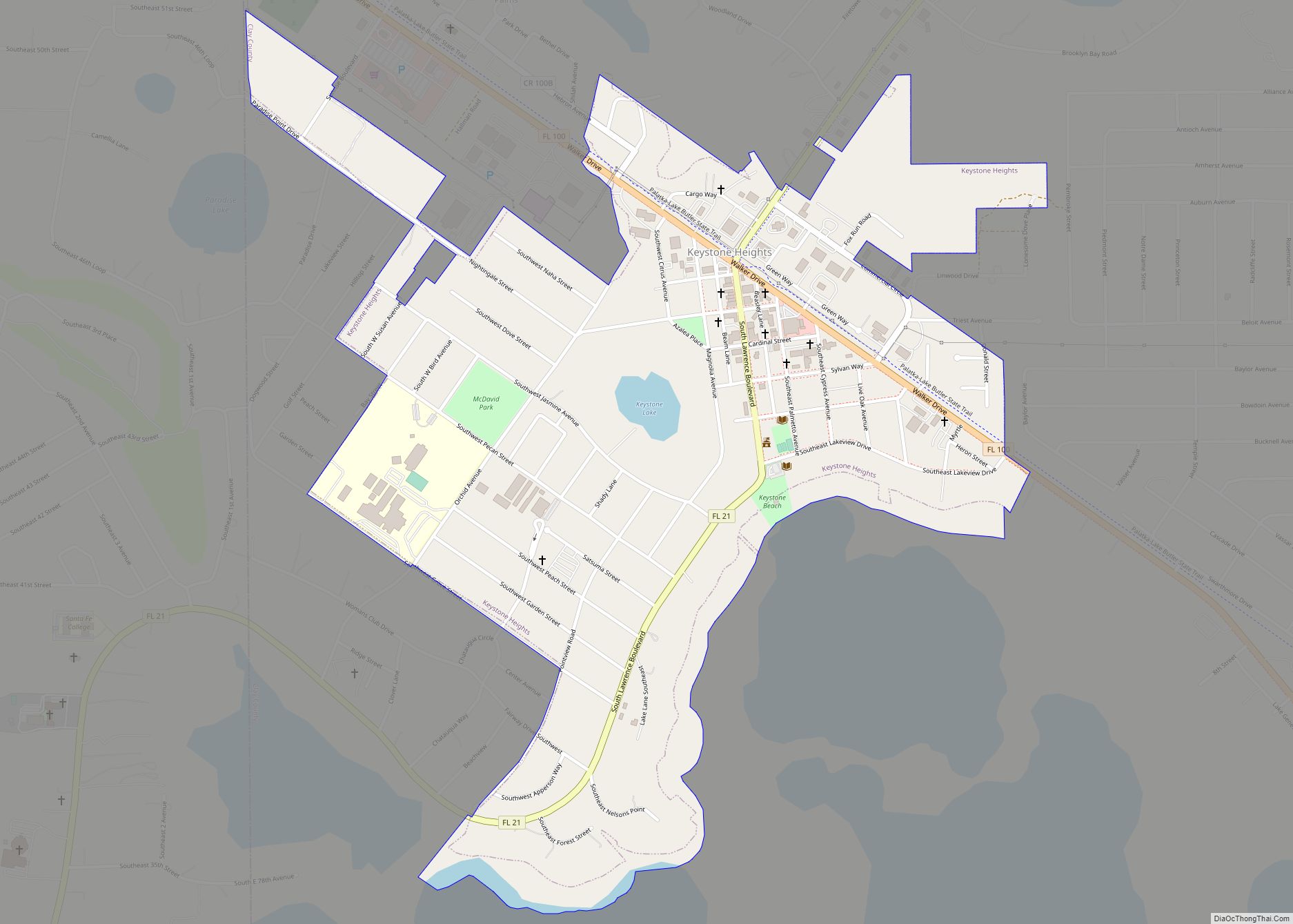
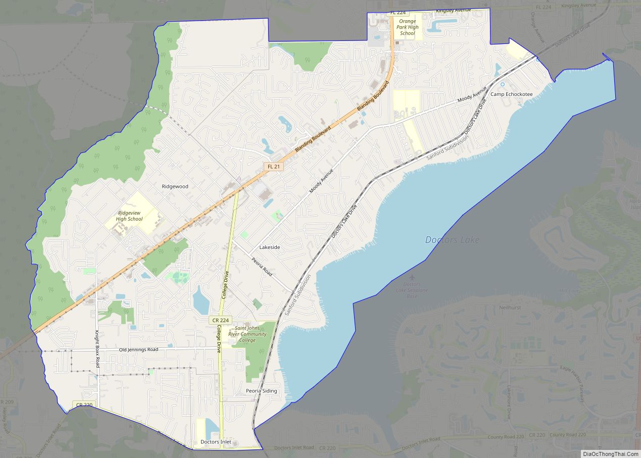
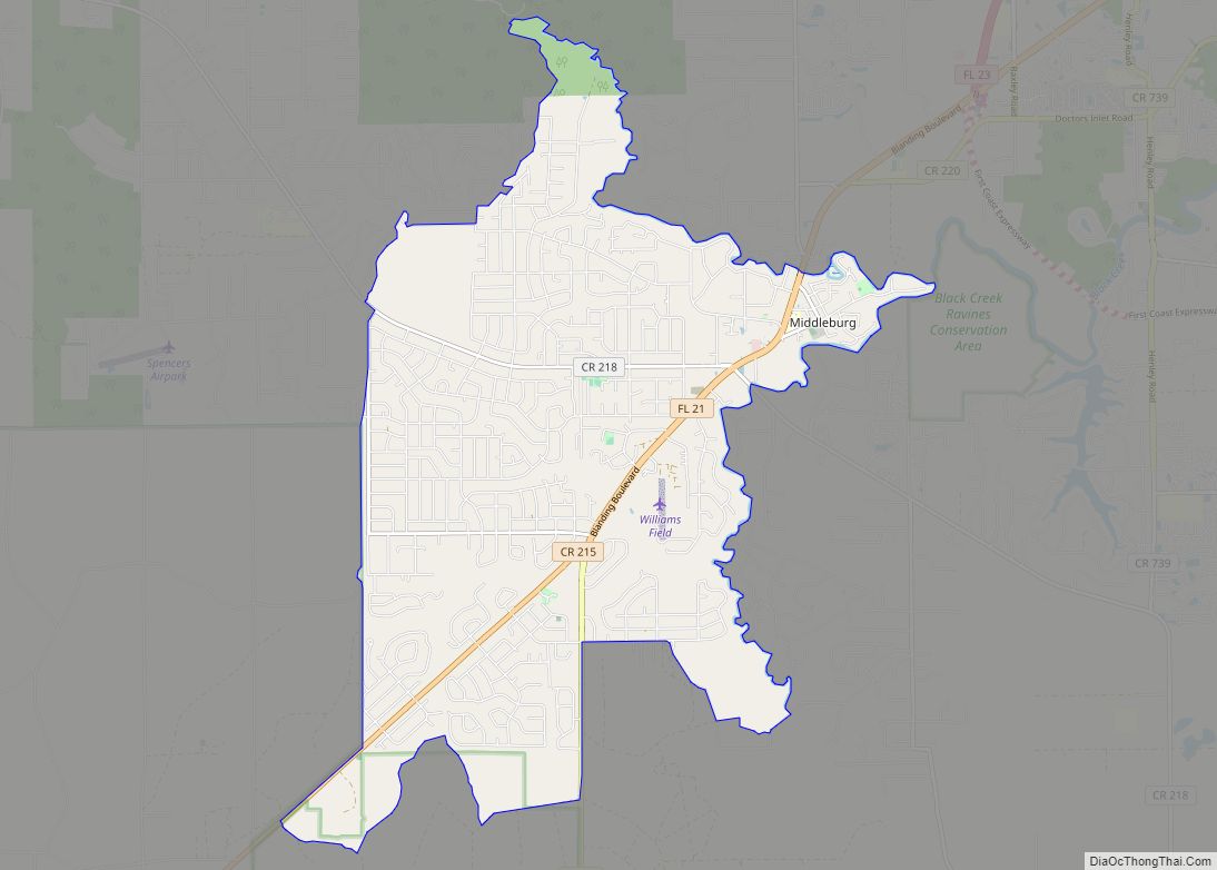
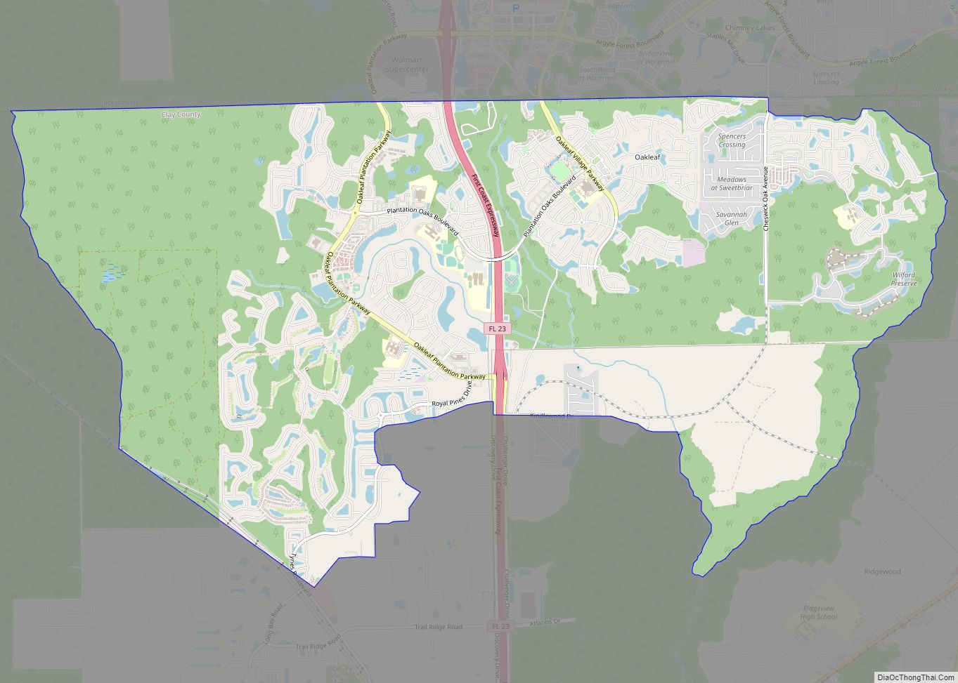
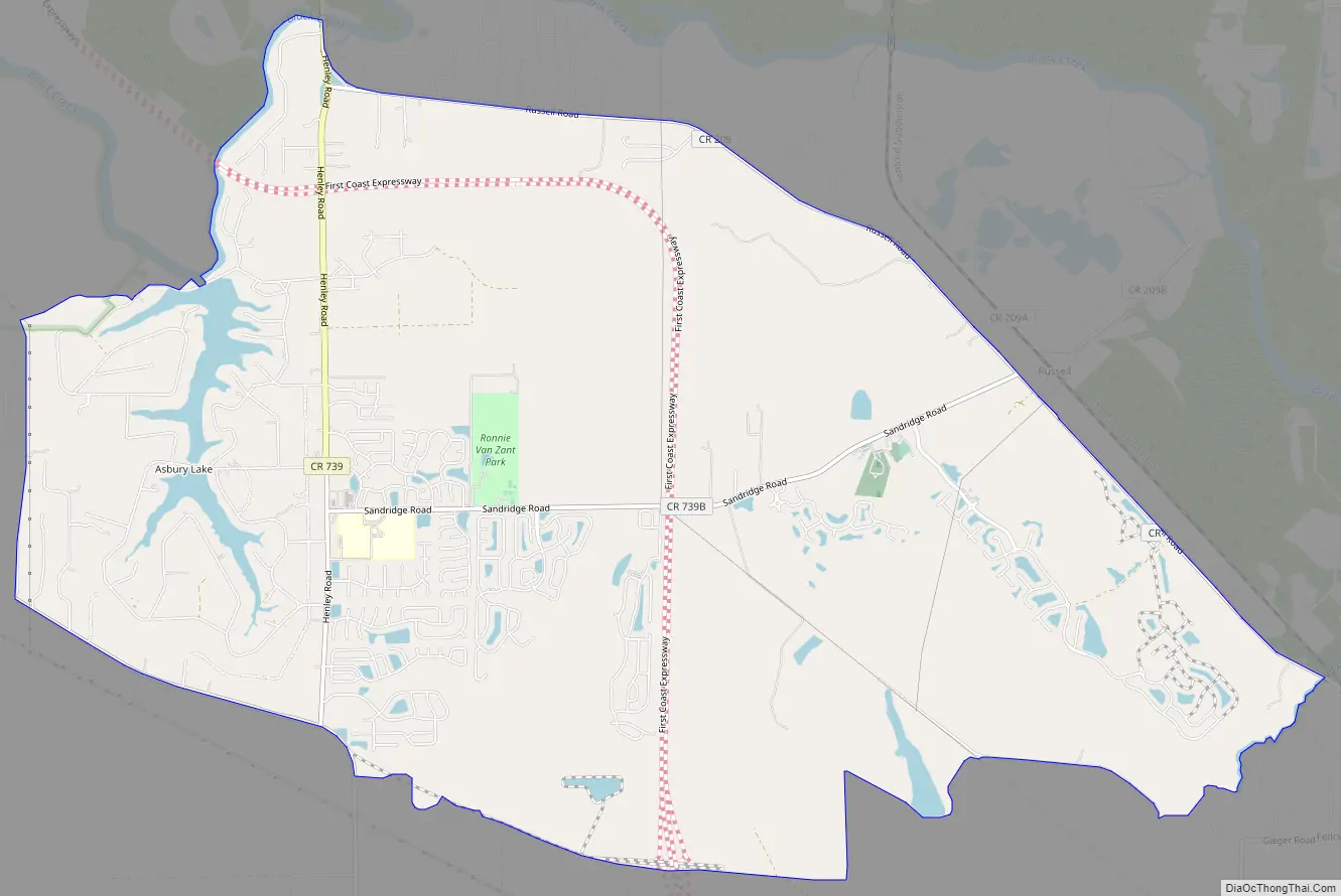
Asbury Lake Road Map
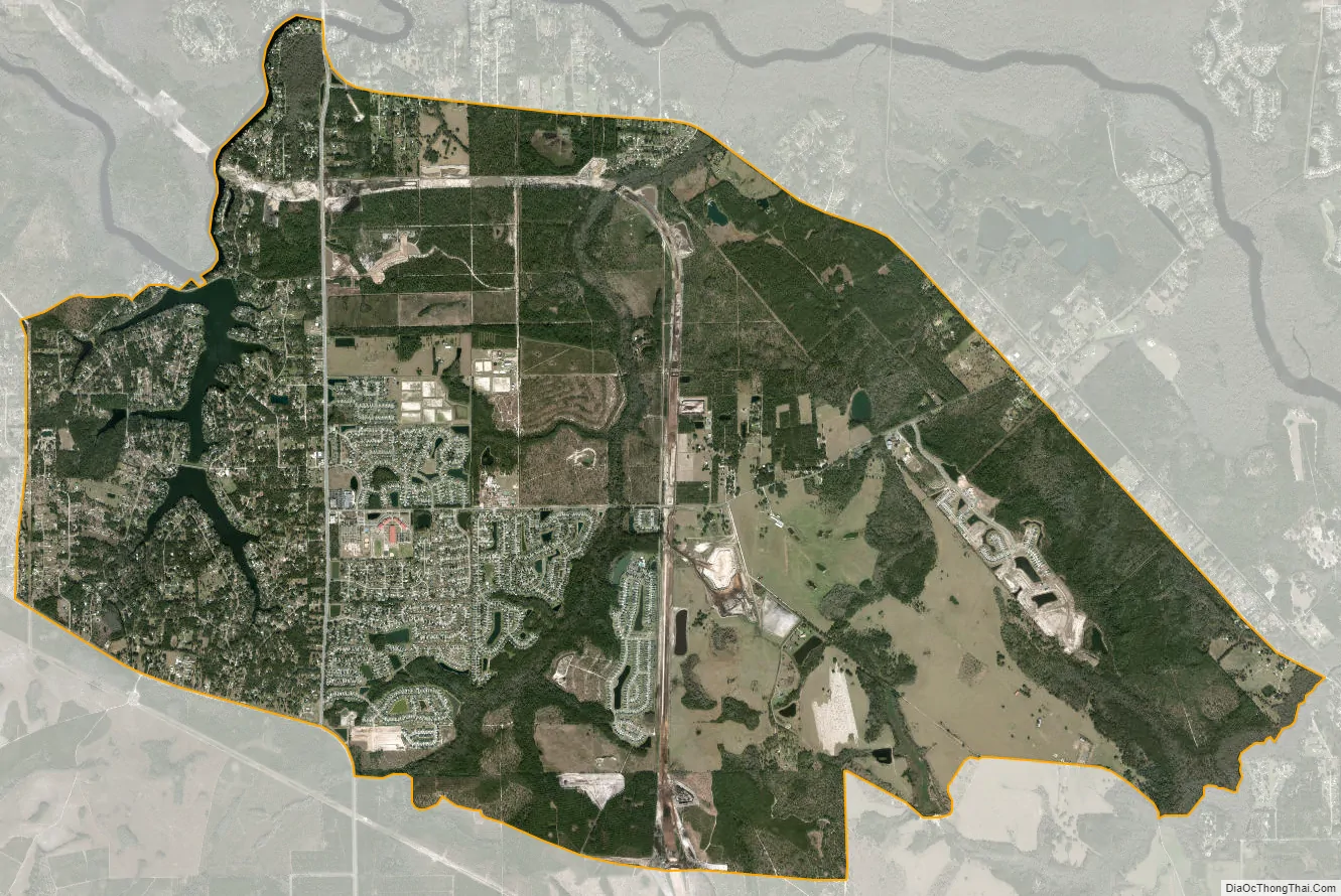
Asbury Lake city Satellite Map
Geography
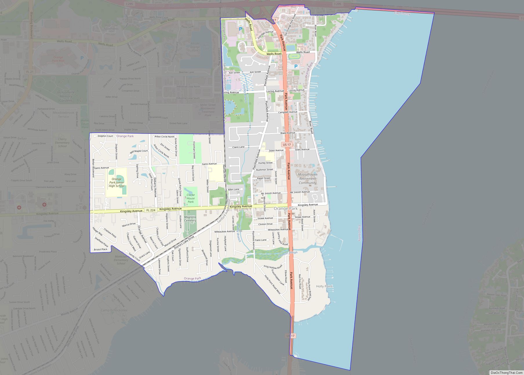
Lake Asbury is located north of the center of Clay County at 30°03′10″N 81°48′59″W / 30.052914°N 81.816296°W / 30.052914; -81.816296. The community surrounds a small reservoir of the same name, though it has also recently expanded eastward. It is bordered on the north by Black Creek, a tributary of the St. Johns River. The community is 13 miles (21 km) southwest of Orange Park and 30 miles (48 km) southwest of downtown Jacksonville.
According to the United States Census Bureau, the CDP has a total area of 17.3 square miles (44.8 km), of which 17.0 square miles (44.1 km) is land and 0.27 square miles (0.7 km), or 1.56%, is water.
See also
Map of Florida State and its subdivision:- Alachua
- Baker
- Bay
- Bradford
- Brevard
- Broward
- Calhoun
- Charlotte
- Citrus
- Clay
- Collier
- Columbia
- Desoto
- Dixie
- Duval
- Escambia
- Flagler
- Franklin
- Gadsden
- Gilchrist
- Glades
- Gulf
- Hamilton
- Hardee
- Hendry
- Hernando
- Highlands
- Hillsborough
- Holmes
- Indian River
- Jackson
- Jefferson
- Lafayette
- Lake
- Lee
- Leon
- Levy
- Liberty
- Madison
- Manatee
- Marion
- Martin
- Miami-Dade
- Monroe
- Nassau
- Okaloosa
- Okeechobee
- Orange
- Osceola
- Palm Beach
- Pasco
- Pinellas
- Polk
- Putnam
- Saint Johns
- Saint Lucie
- Santa Rosa
- Sarasota
- Seminole
- Sumter
- Suwannee
- Taylor
- Union
- Volusia
- Wakulla
- Walton
- Washington
- Alabama
- Alaska
- Arizona
- Arkansas
- California
- Colorado
- Connecticut
- Delaware
- District of Columbia
- Florida
- Georgia
- Hawaii
- Idaho
- Illinois
- Indiana
- Iowa
- Kansas
- Kentucky
- Louisiana
- Maine
- Maryland
- Massachusetts
- Michigan
- Minnesota
- Mississippi
- Missouri
- Montana
- Nebraska
- Nevada
- New Hampshire
- New Jersey
- New Mexico
- New York
- North Carolina
- North Dakota
- Ohio
- Oklahoma
- Oregon
- Pennsylvania
- Rhode Island
- South Carolina
- South Dakota
- Tennessee
- Texas
- Utah
- Vermont
- Virginia
- Washington
- West Virginia
- Wisconsin
- Wyoming