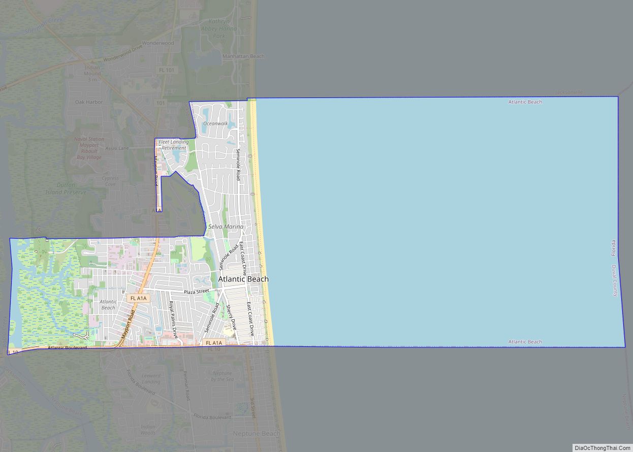
Atlantic Beach is a city in Duval County, Florida, United States and the second largest of the Jacksonville Beaches communities. When the majority of communities in Duval County consolidated with Jacksonville in 1968, Atlantic Beach, along with Jacksonville Beach, Neptune Beach, and Baldwin, remained quasi-independent. Like the other towns, it maintains its own municipal government, but its residents vote in the Jacksonville mayoral election and have representation on the Jacksonville city council. The population was 12,655 at the 2010 census.
| Name: | Atlantic Beach city |
|---|---|
| LSAD Code: | 25 |
| LSAD Description: | city (suffix) |
| State: | Florida |
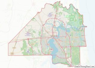
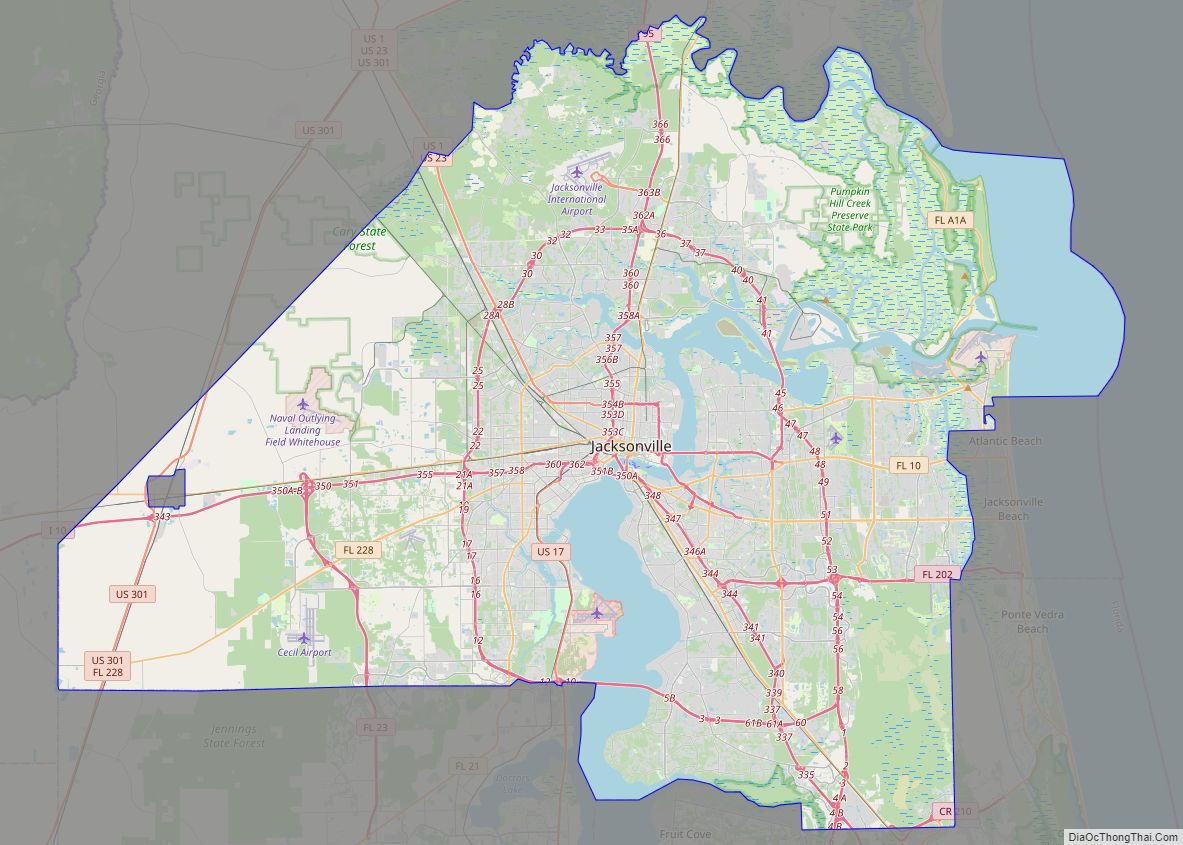
| County: | Duval County |
| Elevation: | 10 ft (3 m) |
| Total Area: | 13.17 sq mi (34.10 km²) |
| Land Area: | 3.68 sq mi (9.53 km²) |
| Water Area: | 9.49 sq mi (24.57 km²) |
| Total Population: | 13,513 |
| Population Density: | 3,671.01/sq mi (1,417.46/km²) |
| ZIP code: | 32233 |
| Area code: | 904 |
| FIPS code: | 1202400 |
| GNISfeature ID: | 0277982 |
Online Interactive Map
Click on ![]() to view map in "full screen" mode.
to view map in "full screen" mode.
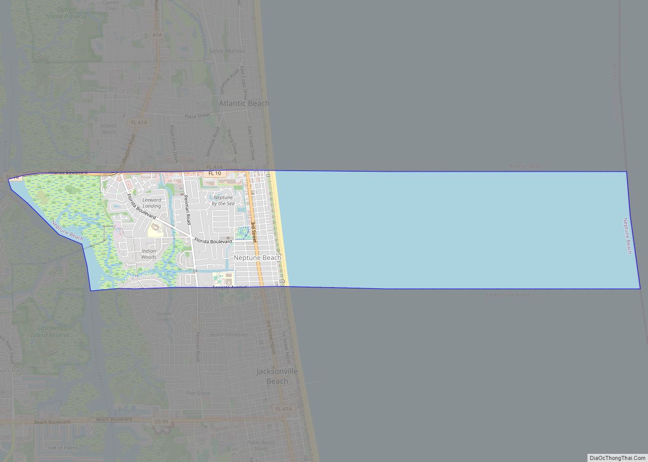
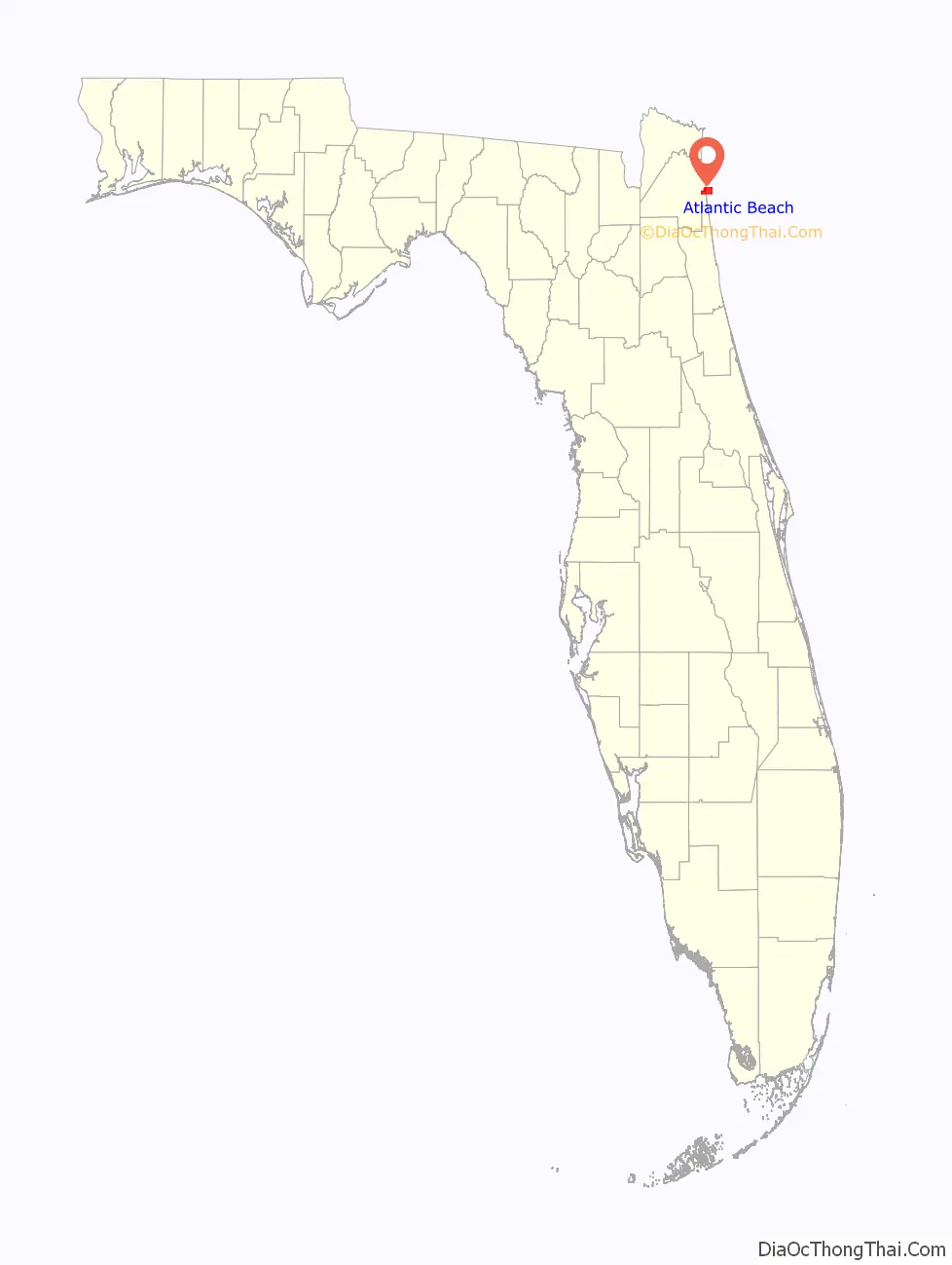
Atlantic Beach location map. Where is Atlantic Beach city?

History
In 1900 Henry Flagler built the Mayport branch of the railroad and erected a station north of where the Adele Grage Cultural Center is currently located. Soon afterward Henry Flagler along with Isaac George built a large hotel called the Continental Hotel on the railroad line between Pablo Beach (Jacksonville Beach) and Mayport. The hotel was a summer resort with 250 guest rooms. There was also a dance pavilion, tennis courts, and a fishing pier. In 1913 the railroad sold most of the land to the Atlantic Beach Corporation which then began paving streets, installing lights, and water and sewer lines. In that same year the Continental Hotel changed its name to the Atlantic Beach Hotel. However, during World War I people were afraid to come to the coast and the Atlantic Beach Corporation went bankrupt. To make matters worse the Atlantic Beach Hotel burned down on September 20, 1919. After the war land began to sell again and the settlement grew. The Town of Atlantic Beach was incorporated in 1926 and the first charter was drafted by Isaac George and adopted in 1929. The first town hall burned down in 1932, so a new one was built later that year. The newly established Mayport Naval Station and the construction of the Mathews Bridge led to the further development of the town. The boundaries of Atlantic Beach were extended in 1987 with the annexation of Seminole Beach, and again in 1996 by extending the westerly boundary to the Intracoastal Waterway.
Atlantic Beach Road Map

Atlantic Beach city Satellite Map

Geography
According to the United States Census Bureau, the city has a total area of 13.0 square miles (33.6 km), of which 3.5 square miles (9.0 km) is land and 9.5 square miles (24.6 km) (73.07%) is water.
See also
Map of Florida State and its subdivision:- Alachua
- Baker
- Bay
- Bradford
- Brevard
- Broward
- Calhoun
- Charlotte
- Citrus
- Clay
- Collier
- Columbia
- Desoto
- Dixie
- Duval
- Escambia
- Flagler
- Franklin
- Gadsden
- Gilchrist
- Glades
- Gulf
- Hamilton
- Hardee
- Hendry
- Hernando
- Highlands
- Hillsborough
- Holmes
- Indian River
- Jackson
- Jefferson
- Lafayette
- Lake
- Lee
- Leon
- Levy
- Liberty
- Madison
- Manatee
- Marion
- Martin
- Miami-Dade
- Monroe
- Nassau
- Okaloosa
- Okeechobee
- Orange
- Osceola
- Palm Beach
- Pasco
- Pinellas
- Polk
- Putnam
- Saint Johns
- Saint Lucie
- Santa Rosa
- Sarasota
- Seminole
- Sumter
- Suwannee
- Taylor
- Union
- Volusia
- Wakulla
- Walton
- Washington
- Alabama
- Alaska
- Arizona
- Arkansas
- California
- Colorado
- Connecticut
- Delaware
- District of Columbia
- Florida
- Georgia
- Hawaii
- Idaho
- Illinois
- Indiana
- Iowa
- Kansas
- Kentucky
- Louisiana
- Maine
- Maryland
- Massachusetts
- Michigan
- Minnesota
- Mississippi
- Missouri
- Montana
- Nebraska
- Nevada
- New Hampshire
- New Jersey
- New Mexico
- New York
- North Carolina
- North Dakota
- Ohio
- Oklahoma
- Oregon
- Pennsylvania
- Rhode Island
- South Carolina
- South Dakota
- Tennessee
- Texas
- Utah
- Vermont
- Virginia
- Washington
- West Virginia
- Wisconsin
- Wyoming