Balm is an unincorporated census-designated place in Hillsborough County, Florida, United States. The population was 1,457 at the 2010 census.
| Name: | Balm CDP |
|---|---|
| LSAD Code: | 57 |
| LSAD Description: | CDP (suffix) |
| State: | Florida |
| County: | Hillsborough County |
| Elevation: | 131 ft (40 m) |
| Total Area: | 10.16 sq mi (26.31 km²) |
| Land Area: | 10.05 sq mi (26.04 km²) |
| Water Area: | 0.10 sq mi (0.27 km²) |
| Total Population: | 6,541 |
| Population Density: | 650.52/sq mi (251.17/km²) |
| ZIP code: | 33503 |
| Area code: | 813 |
| FIPS code: | 1203375 |
| GNISfeature ID: | 294664 |
Online Interactive Map
Click on ![]() to view map in "full screen" mode.
to view map in "full screen" mode.
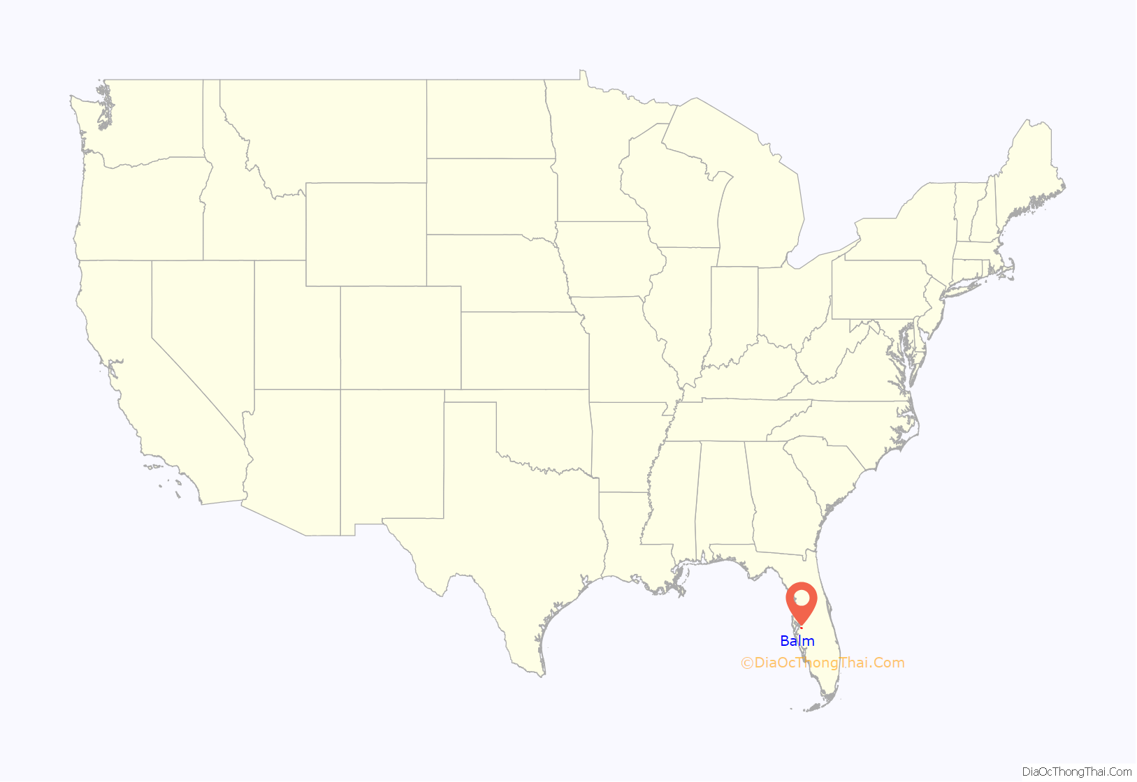
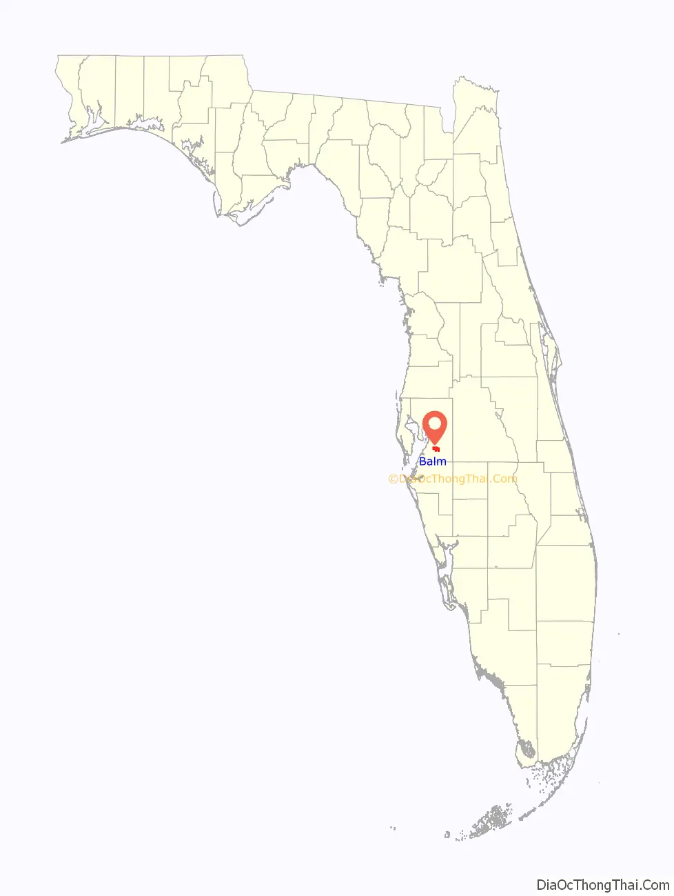
Balm location map. Where is Balm CDP?
History
A post office was established here in 1902 and called “Doric”; it was renamed the next month to “Balm”. The community was so named on account of their “balmy” air. Prior to 1902, the Seaboard Air Line Railway established Balm as a flag stop. The railroad built a one-room station and water tank. This made Balm a focal point, and a small community including a blacksmith, sawmills, a teacher, and a general store sprang up by 1911. In 1937, electricity arrived, soon followed by a community telephone, set up in a barn for all to use. By 1945 the area had a population of over a thousand.
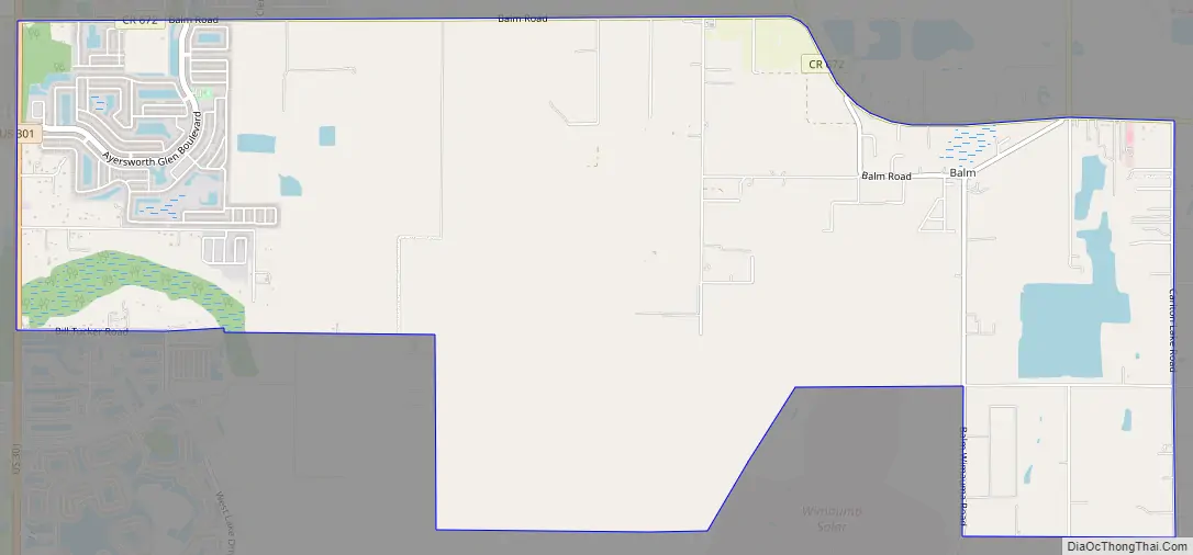
Balm Road Map
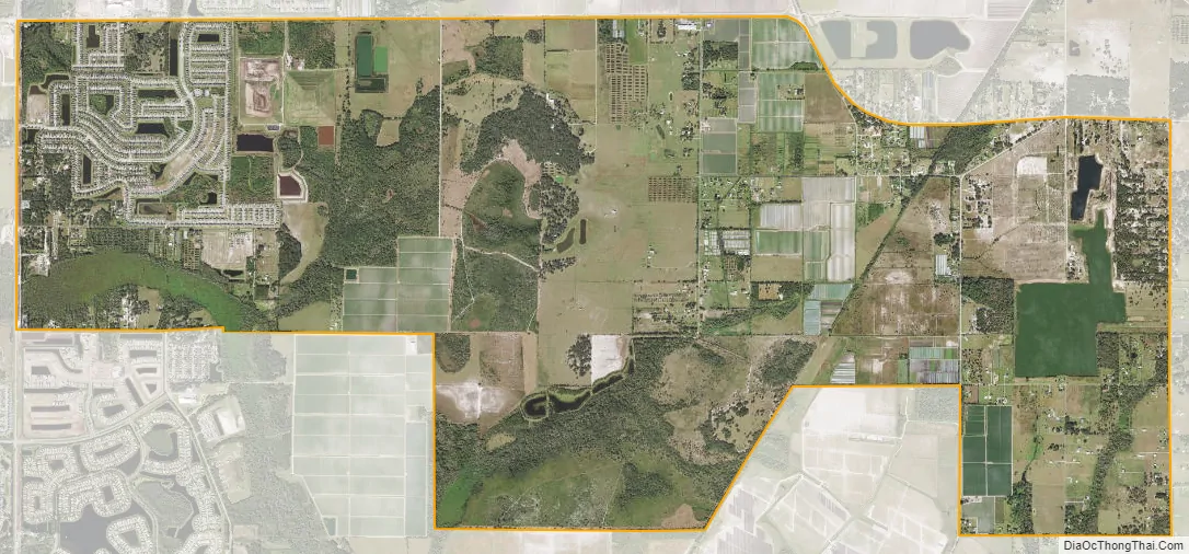
Balm city Satellite Map
Geography
Balm is located in southern Hillsborough County, bordered by Riverview to the north, Apollo Beach to the west, Sun City Center to the southwest, and Wimauma to the south. U.S. Route 301 forms the western border of the Balm CDP, and leads north 12 miles (19 km) to the eastern outskirts of Tampa and southwest 28 miles (45 km) to Bradenton.
According to the U.S. Census Bureau, the Balm CDP has a total area of 10.2 square miles (26.3 km), of which 10.0 square miles (26.0 km) are land and 0.1 square miles (0.3 km), or 1.03%, are water.
See also
Map of Florida State and its subdivision:- Alachua
- Baker
- Bay
- Bradford
- Brevard
- Broward
- Calhoun
- Charlotte
- Citrus
- Clay
- Collier
- Columbia
- Desoto
- Dixie
- Duval
- Escambia
- Flagler
- Franklin
- Gadsden
- Gilchrist
- Glades
- Gulf
- Hamilton
- Hardee
- Hendry
- Hernando
- Highlands
- Hillsborough
- Holmes
- Indian River
- Jackson
- Jefferson
- Lafayette
- Lake
- Lee
- Leon
- Levy
- Liberty
- Madison
- Manatee
- Marion
- Martin
- Miami-Dade
- Monroe
- Nassau
- Okaloosa
- Okeechobee
- Orange
- Osceola
- Palm Beach
- Pasco
- Pinellas
- Polk
- Putnam
- Saint Johns
- Saint Lucie
- Santa Rosa
- Sarasota
- Seminole
- Sumter
- Suwannee
- Taylor
- Union
- Volusia
- Wakulla
- Walton
- Washington
- Alabama
- Alaska
- Arizona
- Arkansas
- California
- Colorado
- Connecticut
- Delaware
- District of Columbia
- Florida
- Georgia
- Hawaii
- Idaho
- Illinois
- Indiana
- Iowa
- Kansas
- Kentucky
- Louisiana
- Maine
- Maryland
- Massachusetts
- Michigan
- Minnesota
- Mississippi
- Missouri
- Montana
- Nebraska
- Nevada
- New Hampshire
- New Jersey
- New Mexico
- New York
- North Carolina
- North Dakota
- Ohio
- Oklahoma
- Oregon
- Pennsylvania
- Rhode Island
- South Carolina
- South Dakota
- Tennessee
- Texas
- Utah
- Vermont
- Virginia
- Washington
- West Virginia
- Wisconsin
- Wyoming


