Bayshore Gardens is a census-designated place (CDP) and planned community in Manatee County, Florida, United States. The population was 19,904 at the 2020 census, up from 16,323 in 2010. It is part of the Bradenton-Sarasota-Venice, Florida Metropolitan Statistical Area.
| Name: | Bayshore Gardens CDP |
|---|---|
| LSAD Code: | 57 |
| LSAD Description: | CDP (suffix) |
| State: | Florida |
| County: | Manatee County |
| Elevation: | 13 ft (4 m) |
| Total Area: | 3.57 sq mi (9.24 km²) |
| Land Area: | 3.51 sq mi (9.09 km²) |
| Water Area: | 0.06 sq mi (0.15 km²) |
| Total Population: | 19,904 |
| Population Density: | 5,670.66/sq mi (2,189.38/km²) |
| ZIP code: | 34207 (Bradenton) |
| Area code: | 941 |
| FIPS code: | 1204350 |
| GNISfeature ID: | 0278252 |
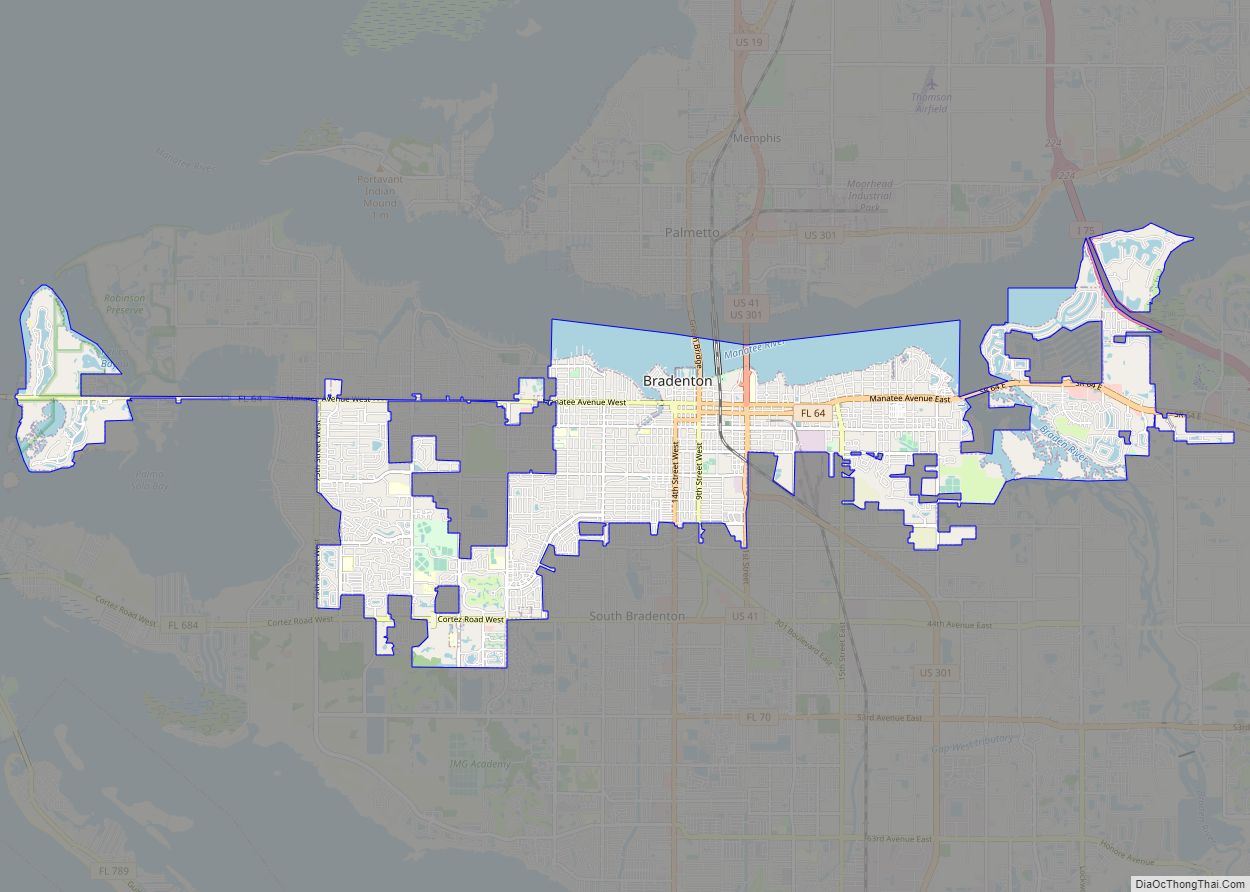
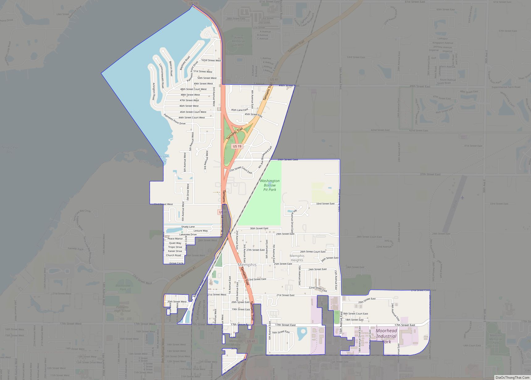
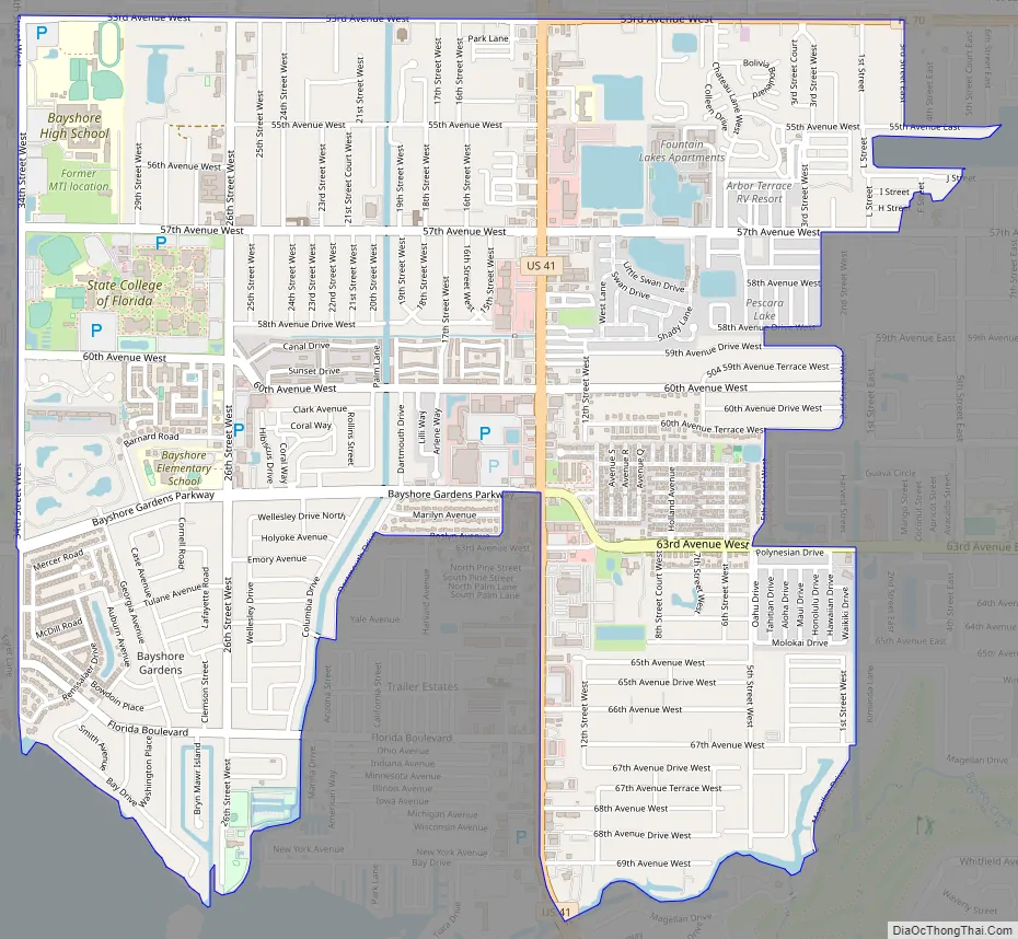
Online Interactive Map
Click on ![]() to view map in "full screen" mode.
to view map in "full screen" mode.
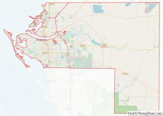
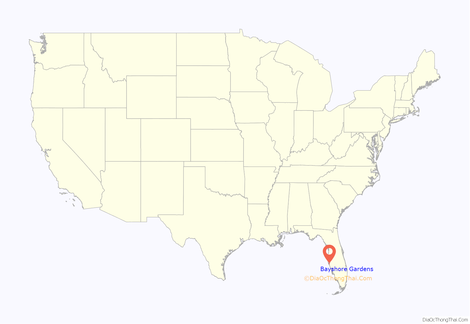
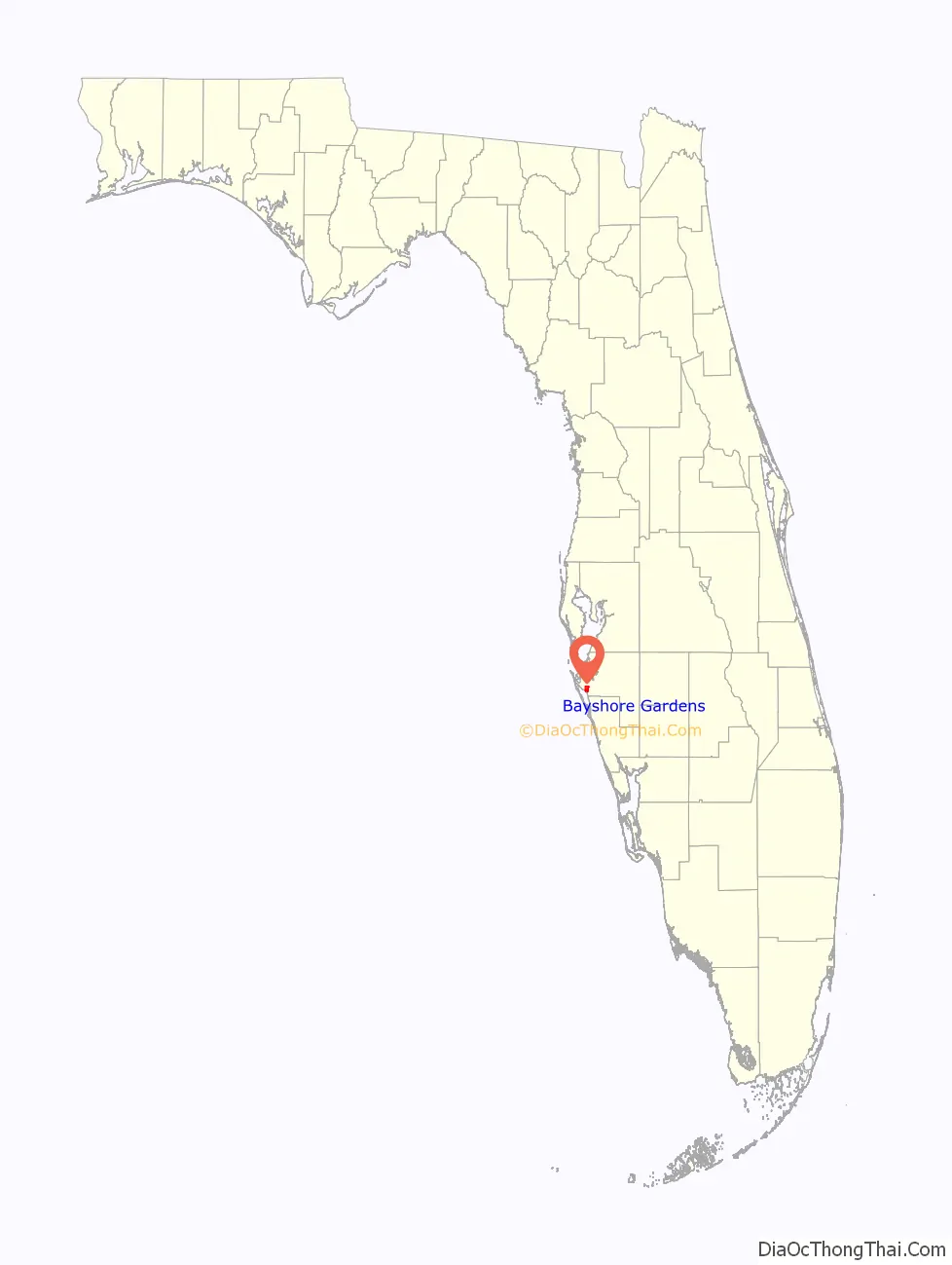
Bayshore Gardens location map. Where is Bayshore Gardens CDP?
History
In 1955, a New York syndicate led by developer Sydney R. Newman purchased the area now known as Bayshore Gardens on the west side of U.S. 41 along the eastern shore of Sarasota Bay, just north of the Sarasota/Manatee county line, and platted an area between what was dubbed Bayshore Gardens Parkway running from U.S. 41 to 26th Street West and Sarasota Bay that would become Bayshore Gardens. The property was purchased for about 2 million dollars, making it the most expensive land purchase in the area since the 1920s. The 3,200-acre (1,300 ha) area, once fields for growing tomatoes, would include recreation areas and a marina, schools, churches, shopping centers and medical facilities as well as homes in the popular style of that time, now called mid-century modern.
By its grand opening in 1956, four model homes were built and seven available designs had been created for future residents to pick from, including the Seagrape, the Gladiola, and the most popular, the Bird of Paradise. Prices ranged from $8,000 to $15,000 for a home with a lot, and lower rates for veterans were advertised. The first home in Bayshore Gardens was sold in July 1956 to Jennie and Samuel Gibson in the Hibiscus style.
By April 1958, the neighborhood had 400 homes, all of which were designed by Bradenton architect Sidney Wilkinson and built by Richard Morton’s Bayshore Gardens Inc. The neighborhood was opened up that year to other developers and home builders, including Richmond Homes and Arrow Home Builders. Designs added by Richmond Homes included the Cayman, Expo, Lenfield, Something Special, Tarlton, and Windward. Arrow Home Builders were known for adding larger custom homes on the Bayshore Gardens waterfront
In November 1959, Bayshore Gardens Shopping Center held a grand opening with stores that included Publix, a beauty shop, barbershop, hardware store, shoe repair, and clothing stores. The neighborhood grew rapidly, and by 1960 it was the largest voting precinct in the county. That year, the shopping center was expanded to add more stores and a movie theater.
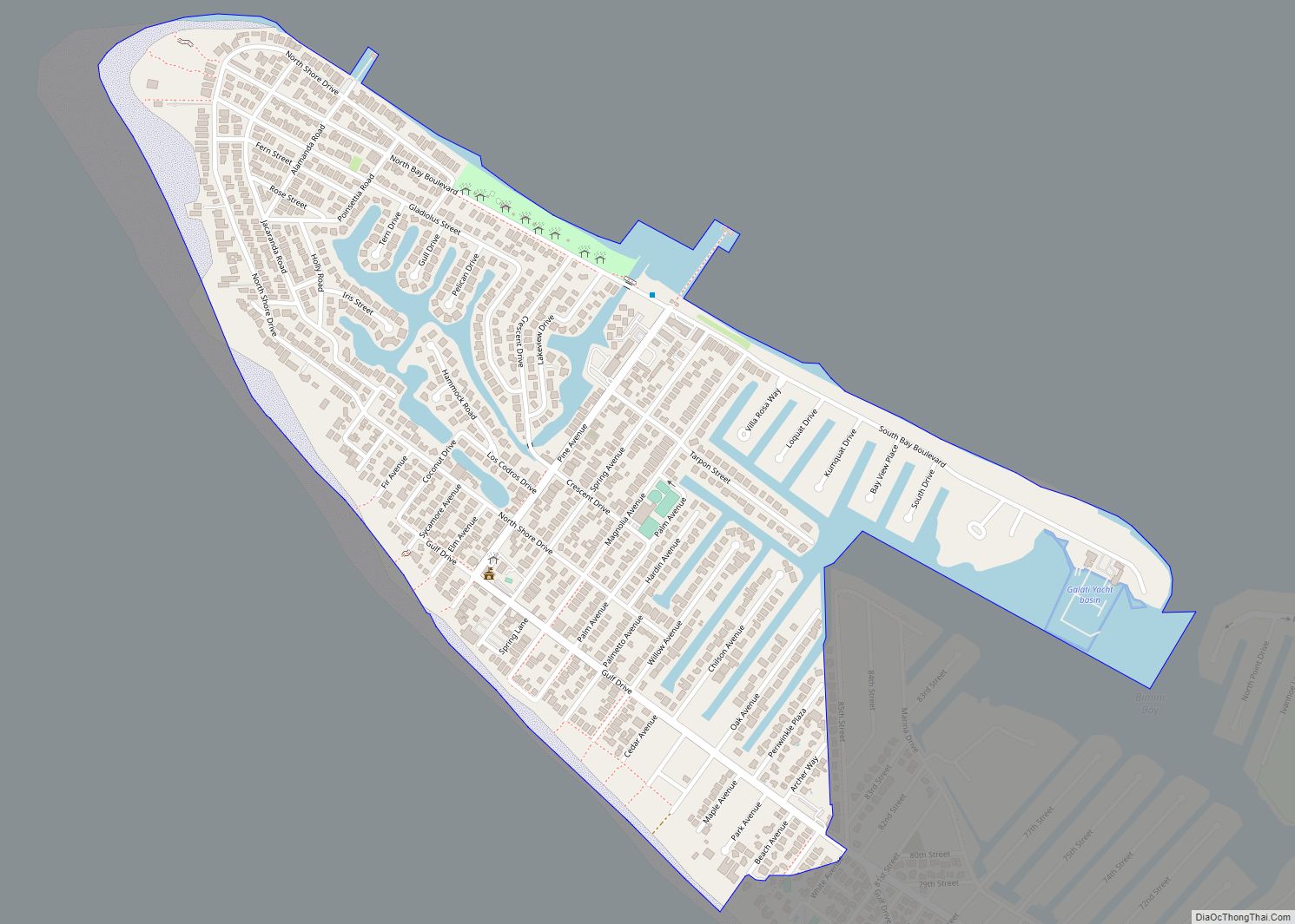
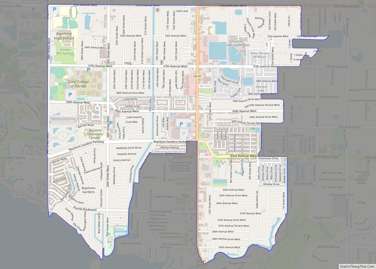
Bayshore Gardens Road Map
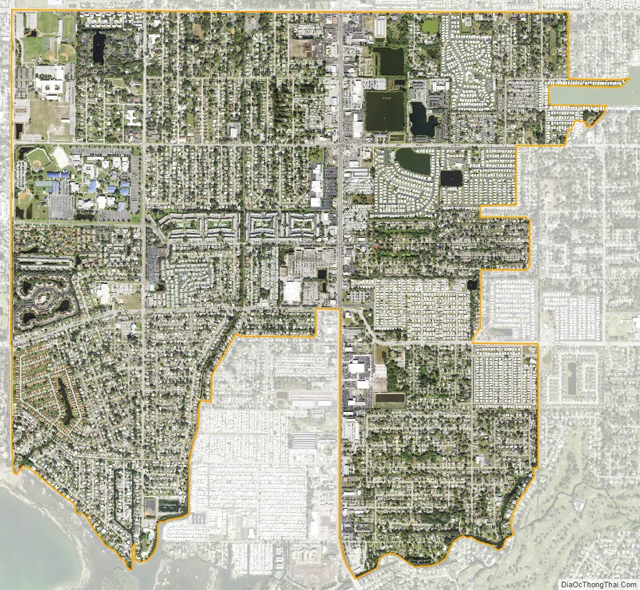
Bayshore Gardens city Satellite Map
Geography
According to the United States Census Bureau, the CDP has a total area of 3.6 square miles (9.3 km), of which 0.06 square miles (0.16 km), or 1.65%, are water. The community is bordered to the southwest by Sarasota Bay, to the southeast by Bowlees Creek and the community of Whitfield, and to the north by South Bradenton.
See also
Map of Florida State and its subdivision:- Alachua
- Baker
- Bay
- Bradford
- Brevard
- Broward
- Calhoun
- Charlotte
- Citrus
- Clay
- Collier
- Columbia
- Desoto
- Dixie
- Duval
- Escambia
- Flagler
- Franklin
- Gadsden
- Gilchrist
- Glades
- Gulf
- Hamilton
- Hardee
- Hendry
- Hernando
- Highlands
- Hillsborough
- Holmes
- Indian River
- Jackson
- Jefferson
- Lafayette
- Lake
- Lee
- Leon
- Levy
- Liberty
- Madison
- Manatee
- Marion
- Martin
- Miami-Dade
- Monroe
- Nassau
- Okaloosa
- Okeechobee
- Orange
- Osceola
- Palm Beach
- Pasco
- Pinellas
- Polk
- Putnam
- Saint Johns
- Saint Lucie
- Santa Rosa
- Sarasota
- Seminole
- Sumter
- Suwannee
- Taylor
- Union
- Volusia
- Wakulla
- Walton
- Washington
- Alabama
- Alaska
- Arizona
- Arkansas
- California
- Colorado
- Connecticut
- Delaware
- District of Columbia
- Florida
- Georgia
- Hawaii
- Idaho
- Illinois
- Indiana
- Iowa
- Kansas
- Kentucky
- Louisiana
- Maine
- Maryland
- Massachusetts
- Michigan
- Minnesota
- Mississippi
- Missouri
- Montana
- Nebraska
- Nevada
- New Hampshire
- New Jersey
- New Mexico
- New York
- North Carolina
- North Dakota
- Ohio
- Oklahoma
- Oregon
- Pennsylvania
- Rhode Island
- South Carolina
- South Dakota
- Tennessee
- Texas
- Utah
- Vermont
- Virginia
- Washington
- West Virginia
- Wisconsin
- Wyoming