Bell is a town in Gilchrist County, Florida, United States. The population was 456 at the 2010 census, up from 349 in 2000. It is situated in the northern part of the county. The middle/high school is home to approximately 750 students.
| Name: | Bell town |
|---|---|
| LSAD Code: | 43 |
| LSAD Description: | town (suffix) |
| State: | Florida |
| County: | Gilchrist County |
| Incorporated: | c. 1900 |
| Elevation: | 69 ft (21 m) |
| Total Area: | 1.64 sq mi (4.24 km²) |
| Land Area: | 1.64 sq mi (4.24 km²) |
| Water Area: | 0.00 sq mi (0.00 km²) |
| Total Population: | 518 |
| Population Density: | 316.24/sq mi (122.11/km²) |
| ZIP code: | 32619 |
| Area code: | 352 |
| FIPS code: | 1204975 |
| GNISfeature ID: | 0278410 |
| Website: | townofbellflorida.com |
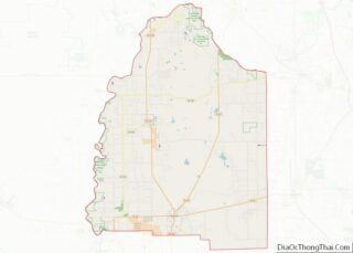
Online Interactive Map
Click on ![]() to view map in "full screen" mode.
to view map in "full screen" mode.
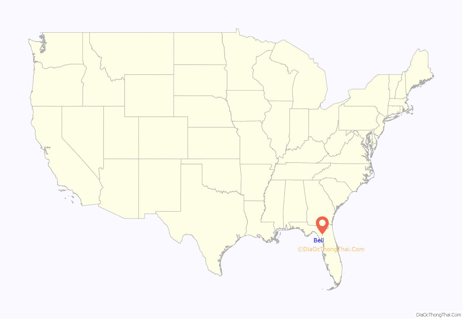
Bell location map. Where is Bell town?
History
The town was founded in the 1890s, named after a beauty contest winner, Bell Fletcher. In the early 1900s, a railway was built, passing through the town on its route between Starke and Wannee. A train depot was built circa 1905, and the restored depot building is now the Town Hall.
On September 18, 2014, a 51-year-old ex-convict, Don Charles Spirit, shot and murdered his daughter Sarah and her six children. He then committed suicide after police officers responded to the scene of the crime.
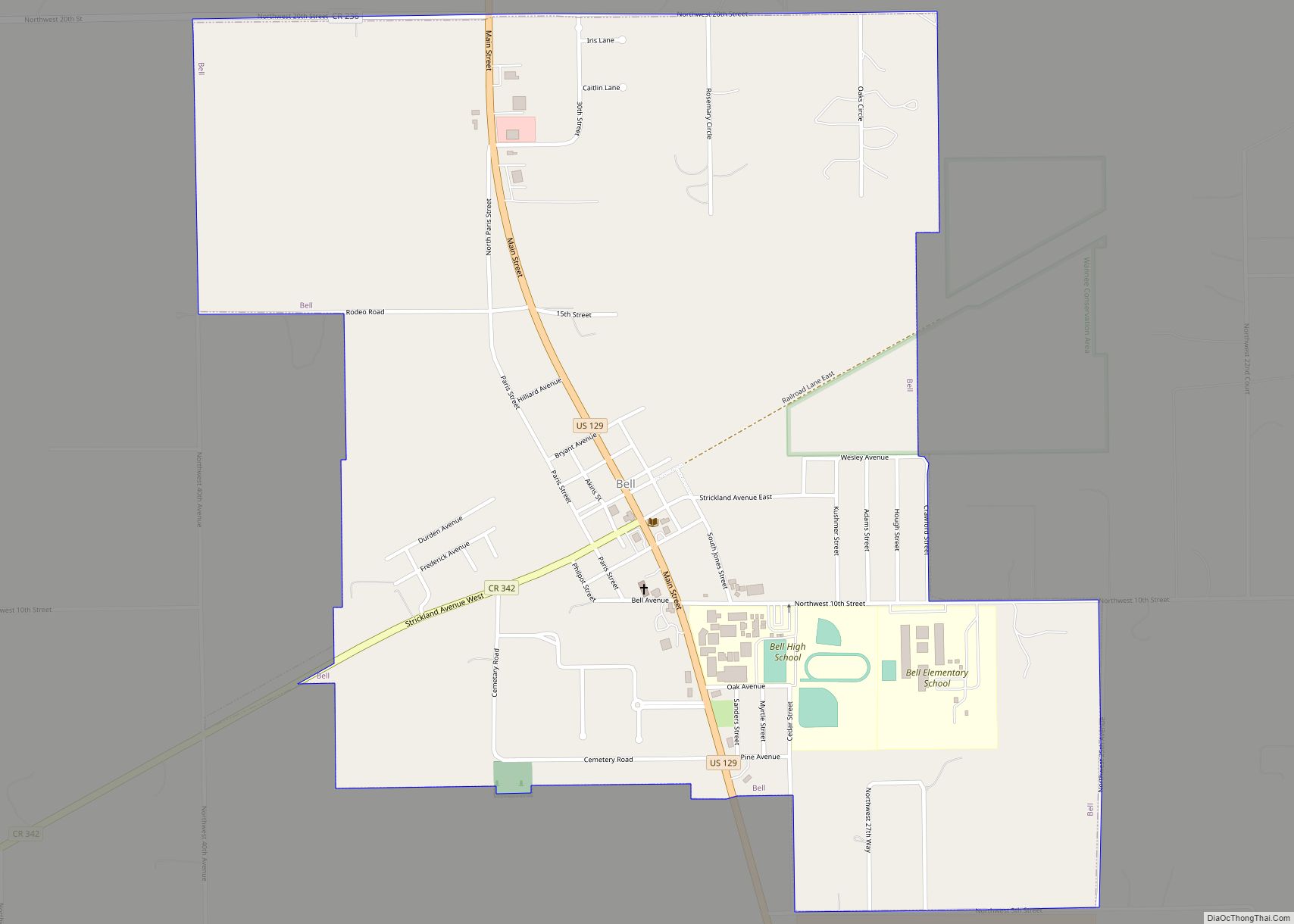
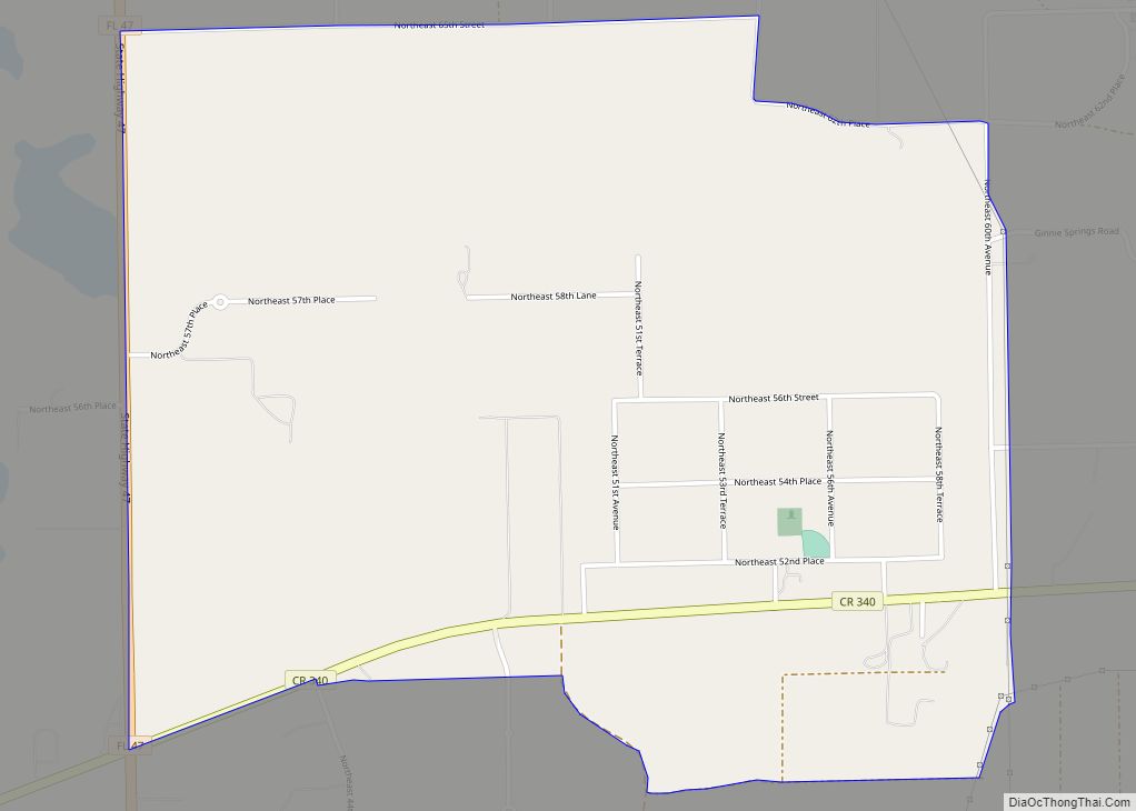
Bell Road Map
Bell city Satellite Map
Geography
Bell is located at 29°45′16″N 82°51′42″W / 29.75444°N 82.86167°W / 29.75444; -82.86167 (29.754443, –82.861712). U.S. Route 129 is the town’s Main Street; it leads north 18 miles (29 km) to Branford and south 10 miles (16 km) to Trenton, the Gilchrist County seat.
According to the United States Census Bureau, the town has a total area of 1.6 square miles (4.1 km), all land.
Climate
See also
Map of Florida State and its subdivision:- Alachua
- Baker
- Bay
- Bradford
- Brevard
- Broward
- Calhoun
- Charlotte
- Citrus
- Clay
- Collier
- Columbia
- Desoto
- Dixie
- Duval
- Escambia
- Flagler
- Franklin
- Gadsden
- Gilchrist
- Glades
- Gulf
- Hamilton
- Hardee
- Hendry
- Hernando
- Highlands
- Hillsborough
- Holmes
- Indian River
- Jackson
- Jefferson
- Lafayette
- Lake
- Lee
- Leon
- Levy
- Liberty
- Madison
- Manatee
- Marion
- Martin
- Miami-Dade
- Monroe
- Nassau
- Okaloosa
- Okeechobee
- Orange
- Osceola
- Palm Beach
- Pasco
- Pinellas
- Polk
- Putnam
- Saint Johns
- Saint Lucie
- Santa Rosa
- Sarasota
- Seminole
- Sumter
- Suwannee
- Taylor
- Union
- Volusia
- Wakulla
- Walton
- Washington
- Alabama
- Alaska
- Arizona
- Arkansas
- California
- Colorado
- Connecticut
- Delaware
- District of Columbia
- Florida
- Georgia
- Hawaii
- Idaho
- Illinois
- Indiana
- Iowa
- Kansas
- Kentucky
- Louisiana
- Maine
- Maryland
- Massachusetts
- Michigan
- Minnesota
- Mississippi
- Missouri
- Montana
- Nebraska
- Nevada
- New Hampshire
- New Jersey
- New Mexico
- New York
- North Carolina
- North Dakota
- Ohio
- Oklahoma
- Oregon
- Pennsylvania
- Rhode Island
- South Carolina
- South Dakota
- Tennessee
- Texas
- Utah
- Vermont
- Virginia
- Washington
- West Virginia
- Wisconsin
- Wyoming
