Starke is a city in and the county seat of Bradford County, Florida, United States. The population was 5,796 at the 2020 census. The origin of the city’s name is disputed. Starke may have been named in honor of local landowner George W. Cole’s fiancée’s family or in honor of Madison Starke Perry, fourth governor of Florida.
| Name: | Starke city |
|---|---|
| LSAD Code: | 25 |
| LSAD Description: | city (suffix) |
| State: | Florida |
| County: | Bradford County |
| Elevation: | 167 ft (51 m) |
| Total Area: | 7.18 sq mi (18.59 km²) |
| Land Area: | 7.18 sq mi (18.59 km²) |
| Water Area: | 0.00 sq mi (0.00 km²) |
| Total Population: | 5,796 |
| Population Density: | 807.47/sq mi (311.74/km²) |
| ZIP code: | 32091 |
| Area code: | 904 |
| FIPS code: | 1268525 |
| GNISfeature ID: | 0291634 |
| Website: | www.cityofstarke.org |
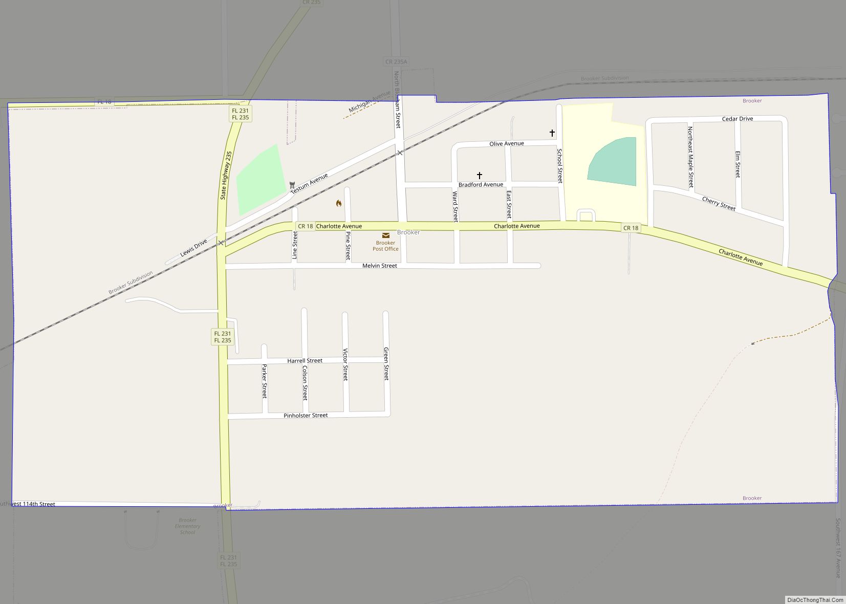
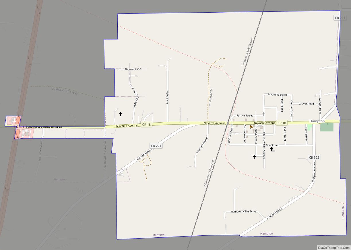
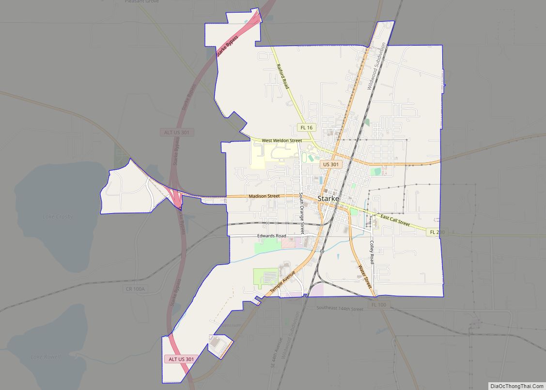
Online Interactive Map
Click on ![]() to view map in "full screen" mode.
to view map in "full screen" mode.
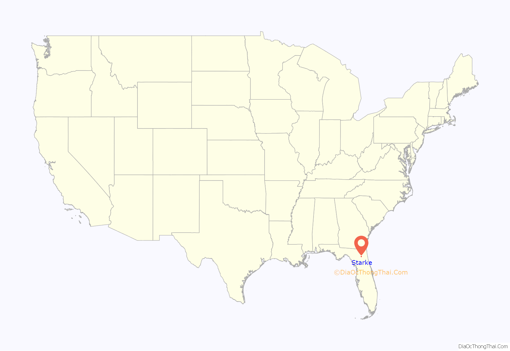
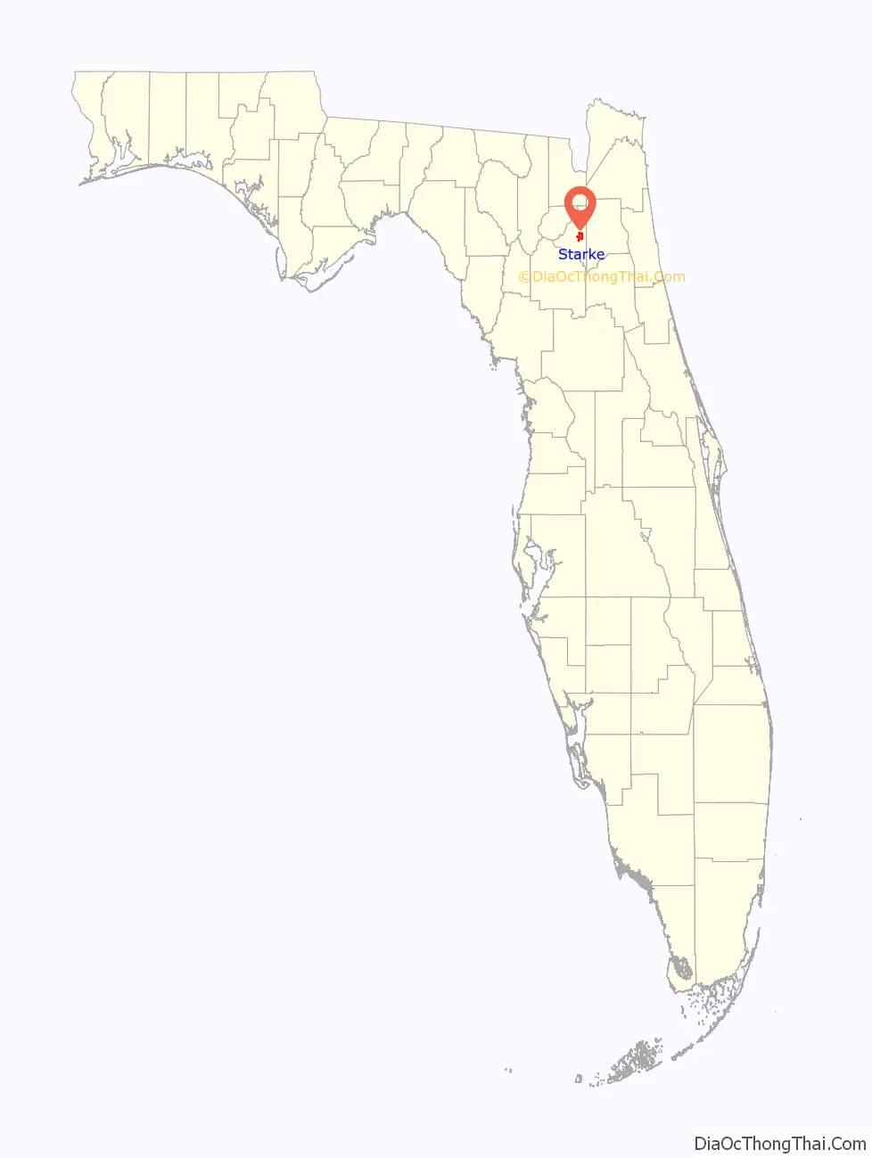
Starke location map. Where is Starke city?
History
Founding and 19th century
Prior to 1857, the area that is today Starke was sparsely settled. The announcement of the Fernandina to Cedar Key railroad, which would connect the Atlantic Ocean with the Gulf of Mexico, brought the first known settlement to the community.
In November 1857, the first post office in the area was established by George W. Cole. In 1859, Cole obtained 40 acres of land around the post office, which were described in his documents as the “Original Town of Starke.”
In 1858, the railroad reached Starke, bringing new residents to the community. The early 1870s brought on incorporation to the city, and in 1875, Bradford County residents narrowly voted to move the county seat from Lake Butler to Starke. Three additional votes would be taken in later years on the location of the county seat, before the Florida Legislature resolved the issue in 1921 with the creation of Union County.
Starke’s weekly newspaper, The Bradford County Telegraph, began publication in 1879 as The Florida Weekly Telegraph (it continues to be the oldest weekly newspaper in Florida today). The city experienced tremendous growth in the 1880s and 1890s from Florida’s citrus industry. Northerners moved to the area in droves to take a stake in the industry, but the state’s Great Freeze that came in the winter of 1894-1895 devastated the area’s orange groves, moving the citrus industry further south.
20th and 21st centuries
Starke oversaw a period of rapid expansion brought on by the new U.S. Highway 301 in the early 1900s and the construction of Camp Blanding during World War II.
For travelers coming from the northeastern United States, Highway 301 was the quickest route between Jacksonville and Tampa (a title it still holds to this day). Starke’s status as one of the largest cities on the route, as well its location on State Road 100, brought numerous hotels to the area. The construction of nearby Camp Blanding as a military training facility during World War II added to the local building boom, and by 1950, the city’s population had doubled.
Post-World War II, the boom continued and the area continued to see an influx of residents working in the service industry and in its strawberry fields. Bradford County’s famous Strawberry Festival was born during this time, and it continues to attract thousands of visitors today.
In the late 1980s, the city received national media attention during the proceedings of the Ted Bundy case and his eventual execution at Florida State Prison in nearby Raiford, Florida. It also received attention when Lawton Chiles was Florida governor as a notorious speed trap town, even having warning billboards placed on Interstate 10’s exit onto south US 301. Other speed traps on this stretch of US 301 between I-10 and I-75 were Waldo, Lawtey, and Hampton.
During this time, controversy would also arise over the cross located on the city’s water tower, as national atheist groups condemned the community. In the early 2000s, a court motion was filed by American Atheists against the city to remove the cross, bringing Starke back into the national spotlight. The battle in court would prove contentious, with most city residents staunchly opposed to its removal. In 2007, a district judge ruled against the city, and the cross would later be moved to a location on private property.
In later years, American Atheists attempted to have a Ten Commandments monument removed from the courtyard of the Bradford County Courthouse. A compromise was eventually reached however in this case.
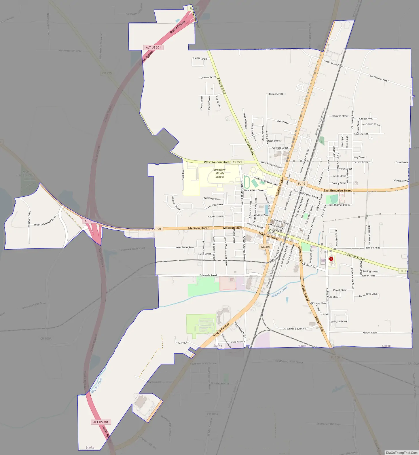
Starke Road Map
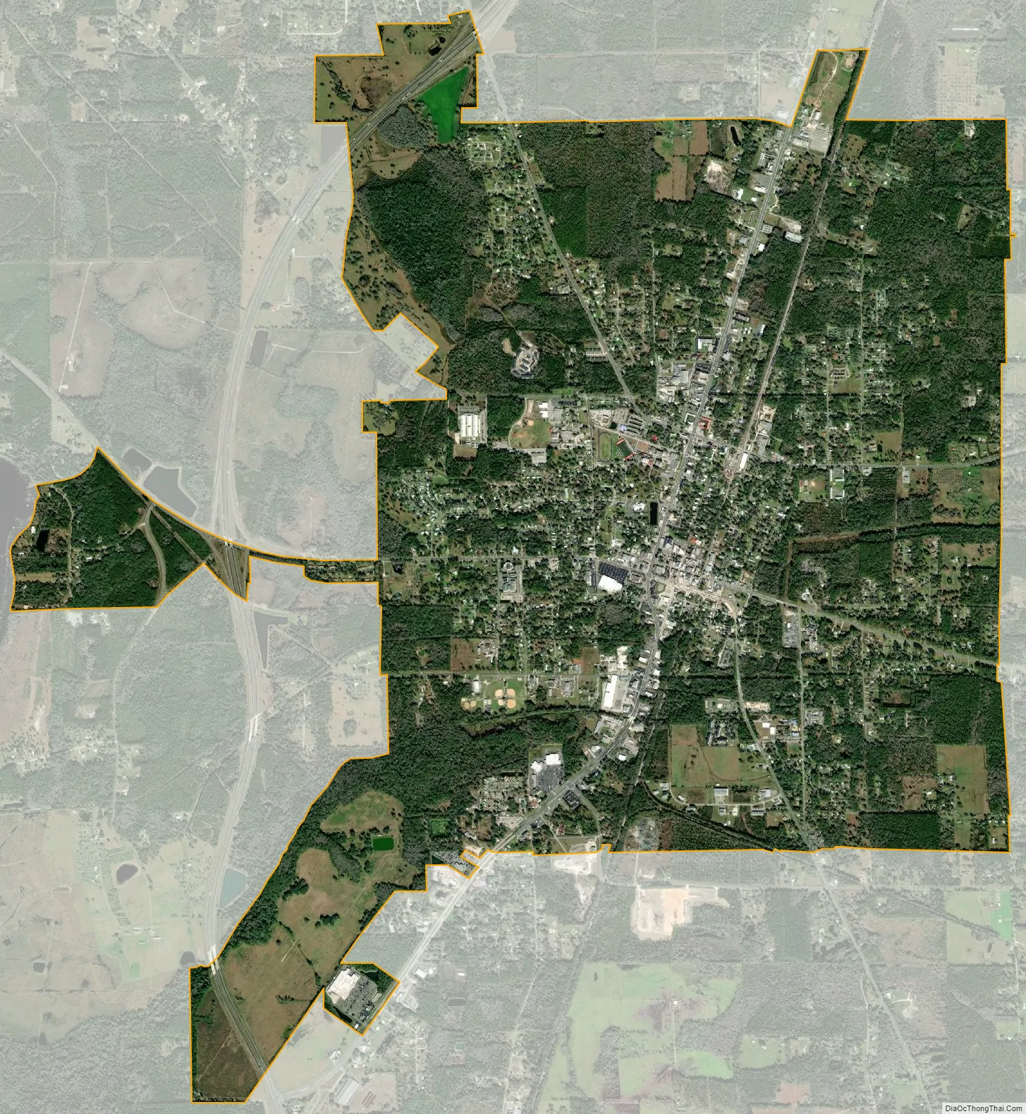
Starke city Satellite Map
Geography
Starke is located in east-central Bradford County. U.S. Route 301 passes through the center of the city, leading north 26 miles (42 km) to Baldwin and Interstate 10 (with Jacksonville through it) and southwest (via State Road 24) 25 miles (40 km) to Gainesville.
According to the United States Census Bureau, the city has a total area of 7.2 square miles (18.7 km), all land.
Starke is located approximately 8 miles (13 km) west of Florida’s National Guard base, Camp Blanding, and is approximately 10 miles (16 km) southeast of Florida State Prison, Union Correctional Institution, and New River East Correctional Institution.
Climate
See also
Map of Florida State and its subdivision:- Alachua
- Baker
- Bay
- Bradford
- Brevard
- Broward
- Calhoun
- Charlotte
- Citrus
- Clay
- Collier
- Columbia
- Desoto
- Dixie
- Duval
- Escambia
- Flagler
- Franklin
- Gadsden
- Gilchrist
- Glades
- Gulf
- Hamilton
- Hardee
- Hendry
- Hernando
- Highlands
- Hillsborough
- Holmes
- Indian River
- Jackson
- Jefferson
- Lafayette
- Lake
- Lee
- Leon
- Levy
- Liberty
- Madison
- Manatee
- Marion
- Martin
- Miami-Dade
- Monroe
- Nassau
- Okaloosa
- Okeechobee
- Orange
- Osceola
- Palm Beach
- Pasco
- Pinellas
- Polk
- Putnam
- Saint Johns
- Saint Lucie
- Santa Rosa
- Sarasota
- Seminole
- Sumter
- Suwannee
- Taylor
- Union
- Volusia
- Wakulla
- Walton
- Washington
- Alabama
- Alaska
- Arizona
- Arkansas
- California
- Colorado
- Connecticut
- Delaware
- District of Columbia
- Florida
- Georgia
- Hawaii
- Idaho
- Illinois
- Indiana
- Iowa
- Kansas
- Kentucky
- Louisiana
- Maine
- Maryland
- Massachusetts
- Michigan
- Minnesota
- Mississippi
- Missouri
- Montana
- Nebraska
- Nevada
- New Hampshire
- New Jersey
- New Mexico
- New York
- North Carolina
- North Dakota
- Ohio
- Oklahoma
- Oregon
- Pennsylvania
- Rhode Island
- South Carolina
- South Dakota
- Tennessee
- Texas
- Utah
- Vermont
- Virginia
- Washington
- West Virginia
- Wisconsin
- Wyoming