Belleair is a town in Pinellas County, Florida, United States. As of the 2010 census, it had a population of 3,869.
| Name: | Belleair town |
|---|---|
| LSAD Code: | 43 |
| LSAD Description: | town (suffix) |
| State: | Florida |
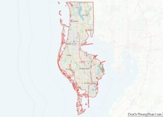
| County: | Pinellas County |
| Elevation: | 46 ft (14 m) |
| Total Area: | 2.54 sq mi (6.58 km²) |
| Land Area: | 1.73 sq mi (4.48 km²) |
| Water Area: | 0.81 sq mi (2.10 km²) |
| Total Population: | 4,273 |
| Population Density: | 2,468.52/sq mi (952.94/km²) |
| ZIP code: | 33756 |
| Area code: | 727 |
| FIPS code: | 1205075 |
| GNISfeature ID: | 0278451 |
| Website: | www.townofbelleair.com |
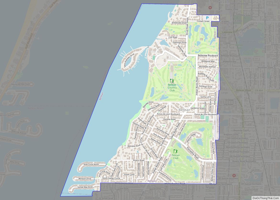
Online Interactive Map
Click on ![]() to view map in "full screen" mode.
to view map in "full screen" mode.
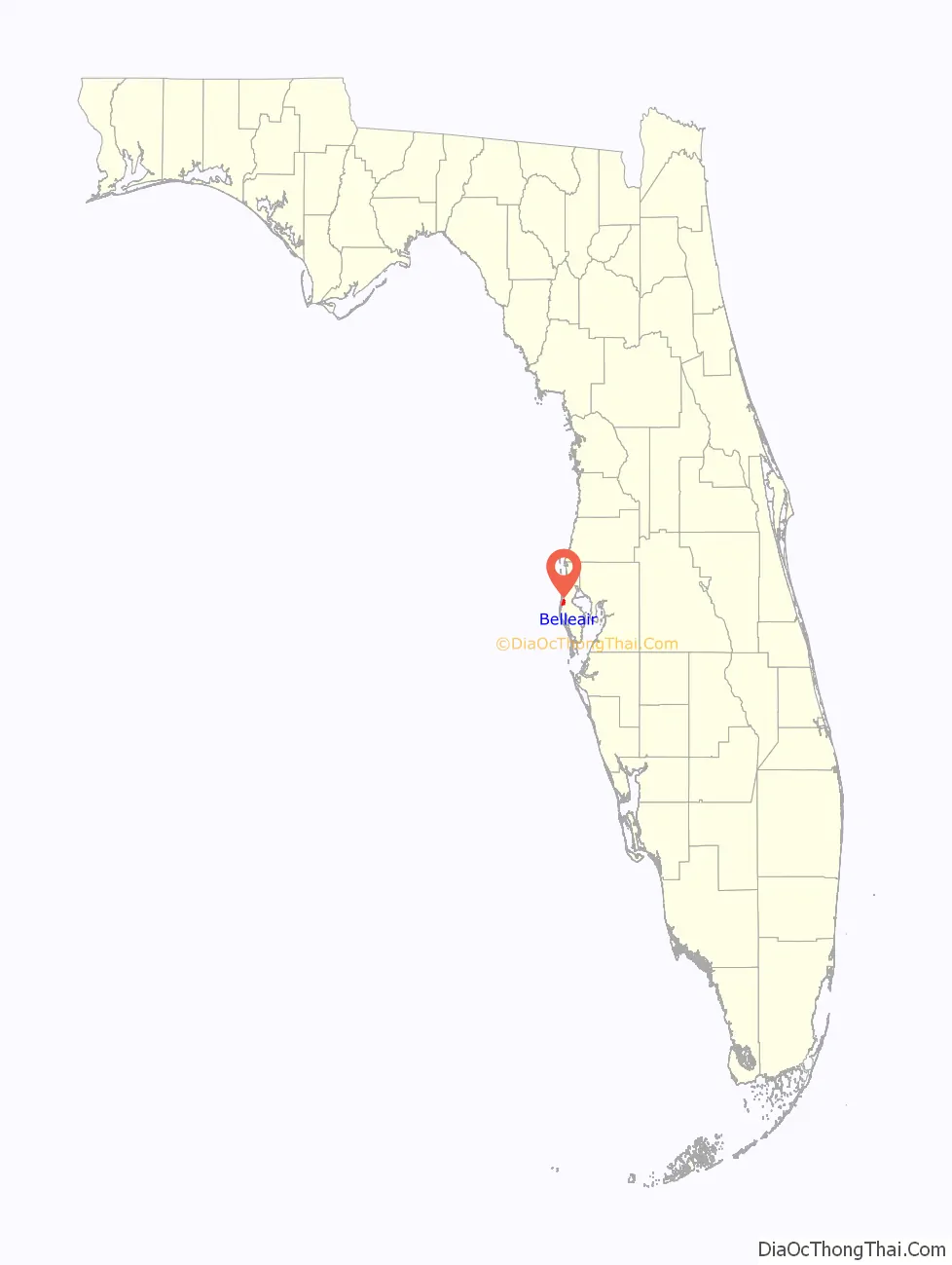
Belleair location map. Where is Belleair town?

History
Belleair traces its origins to 1896 as a planned resort town with the construction of the Belleview Hotel by railroad tycoon Henry B. Plant. Originally known as Belleair Heights, the village consisted of a few dozen homes, livestock stables, and a famed 200-seat coliseum where bicycle races and political rallies were held. Over 300 acres of land were cleared and streets platted. However, real estate development in the community did not meet expectations, and the population remained small. The former village of Belleair Heights fizzled out in the mid-20th century as urban sprawl blurred the lines between communities; the area stopped being referred to as Belleair Heights during the 1930s. Following the acquisition of the hotel by the John McEntee Bowman’s Biltmore corporation in 1919, management began purchasing large tracts of land south of the resort. The Florida Land Boom was in full swing in 1924 when the company’s Vice President and hotel manager Earl E. Carley announced a new real estate venture of Belleair Estates.
Belleair Estates was designed by famed landscape architect John Nolen and was intended as Florida’s most exclusive winter residential colony. The town initially incorporated in late 1924, though was re-incorporated in 1925 under the current name of Belleair. Development continued until the real estate bubble burst in 1926 which subsequently aided in the national Great Depression three years later. Following World War II, Belleair began to develop in earnest, with over two-thirds of the town’s residences built after 1950.
The Eagles Nest Japanese Gardens, a popular tourist attraction in the town, opened in 1938 and closed in 1952.
Belleair Road Map

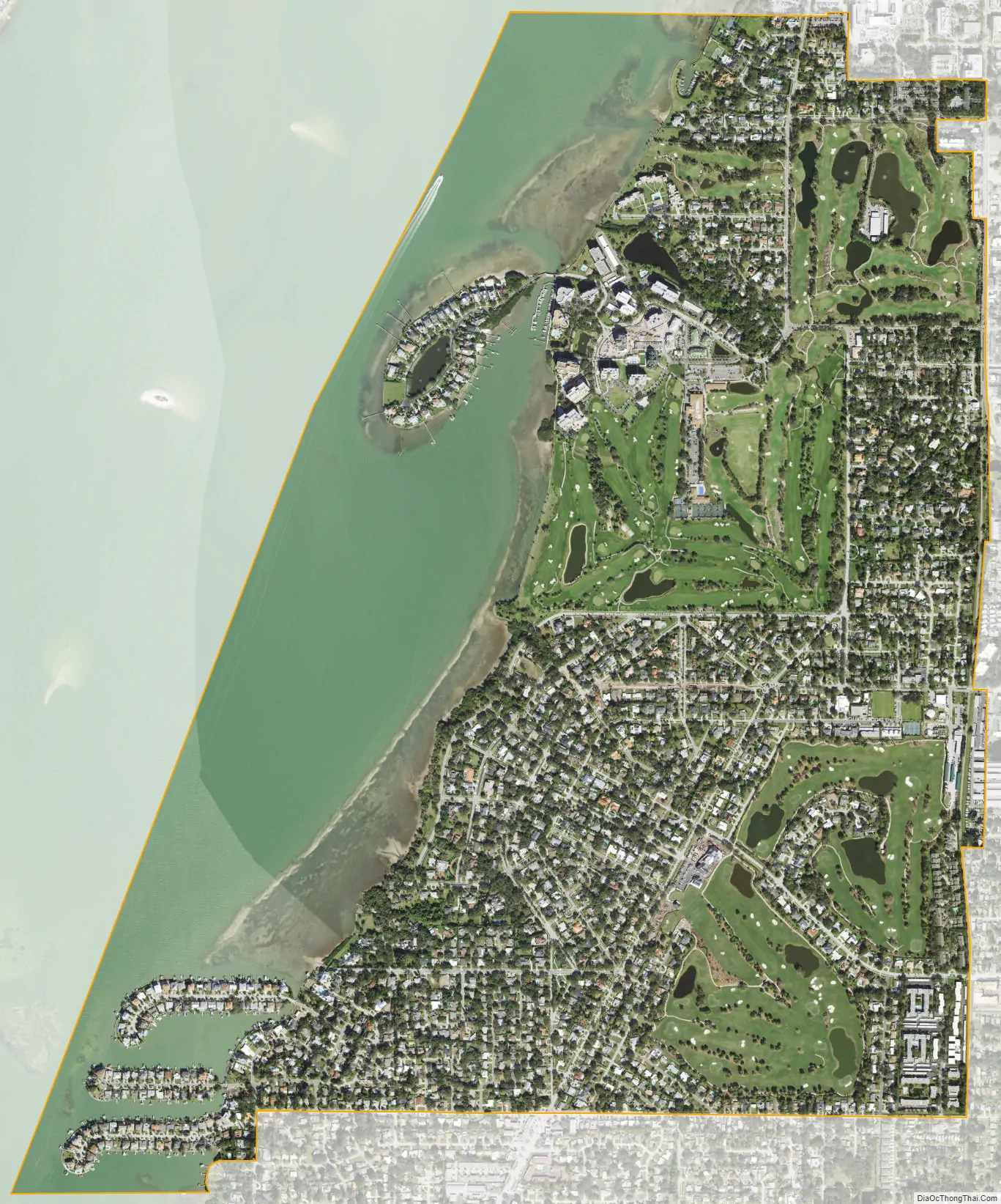
Belleair city Satellite Map
Geography
According to the United States Census Bureau, the town has a total area of 2.8 square miles (7.3 km), of which 1.8 square miles (4.7 km) is land and 1.0 square mile (2.6 km) (36.30%) is water.
See also
Map of Florida State and its subdivision:- Alachua
- Baker
- Bay
- Bradford
- Brevard
- Broward
- Calhoun
- Charlotte
- Citrus
- Clay
- Collier
- Columbia
- Desoto
- Dixie
- Duval
- Escambia
- Flagler
- Franklin
- Gadsden
- Gilchrist
- Glades
- Gulf
- Hamilton
- Hardee
- Hendry
- Hernando
- Highlands
- Hillsborough
- Holmes
- Indian River
- Jackson
- Jefferson
- Lafayette
- Lake
- Lee
- Leon
- Levy
- Liberty
- Madison
- Manatee
- Marion
- Martin
- Miami-Dade
- Monroe
- Nassau
- Okaloosa
- Okeechobee
- Orange
- Osceola
- Palm Beach
- Pasco
- Pinellas
- Polk
- Putnam
- Saint Johns
- Saint Lucie
- Santa Rosa
- Sarasota
- Seminole
- Sumter
- Suwannee
- Taylor
- Union
- Volusia
- Wakulla
- Walton
- Washington
- Alabama
- Alaska
- Arizona
- Arkansas
- California
- Colorado
- Connecticut
- Delaware
- District of Columbia
- Florida
- Georgia
- Hawaii
- Idaho
- Illinois
- Indiana
- Iowa
- Kansas
- Kentucky
- Louisiana
- Maine
- Maryland
- Massachusetts
- Michigan
- Minnesota
- Mississippi
- Missouri
- Montana
- Nebraska
- Nevada
- New Hampshire
- New Jersey
- New Mexico
- New York
- North Carolina
- North Dakota
- Ohio
- Oklahoma
- Oregon
- Pennsylvania
- Rhode Island
- South Carolina
- South Dakota
- Tennessee
- Texas
- Utah
- Vermont
- Virginia
- Washington
- West Virginia
- Wisconsin
- Wyoming