Bithlo is a census-designated place and an unincorporated community in Orange County, Florida, United States. The population was 8,268 at the 2010 census, up from 4,626 at the 2000 census. It is part of the Orlando–Kissimmee Metropolitan Statistical Area.
The Bithlo Post Office opened in 1922. For 20 years in the early 20th century, Bithlo was an incorporated town, but in 1929 ceased to function as a town due to economic hardship. By 1941, the town council meetings had ended and in 1944 the Okeechobee Railroad Branch was abandoned. After the end of World War II, the town became known as a waste dump and pollution site. It was in 1970 when the residents of Bithlo petitioned the state legislature to revoke the town’s charter. The city was finally unincorporated in 1977, an act which was not finalized until 1982 due to outstanding bonds and legal problems.
Bithlo is the location of several of the broadcasting towers for the digital television stations in the Orlando-Daytona Beach-Melbourne market. It is also home to Bithlo Park and the East Orange Babe Ruth youth baseball and softball program, one of the premier youth baseball and softball programs in Central Florida.
| Name: | Bithlo CDP |
|---|---|
| LSAD Code: | 57 |
| LSAD Description: | CDP (suffix) |
| State: | Florida |
| County: | Orange County |
| Elevation: | 62 ft (19 m) |
| Total Area: | 11.08 sq mi (28.70 km²) |
| Land Area: | 10.89 sq mi (28.21 km²) |
| Water Area: | 0.19 sq mi (0.49 km²) |
| Total Population: | 9,848 |
| Population Density: | 903.98/sq mi (349.04/km²) |
| FIPS code: | 1206625 |
| GNISfeature ID: | 0278870 |
Online Interactive Map
Click on ![]() to view map in "full screen" mode.
to view map in "full screen" mode.
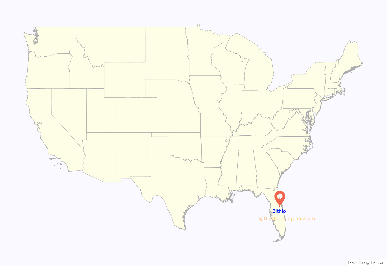
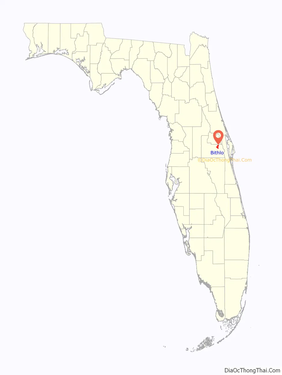
Bithlo location map. Where is Bithlo CDP?
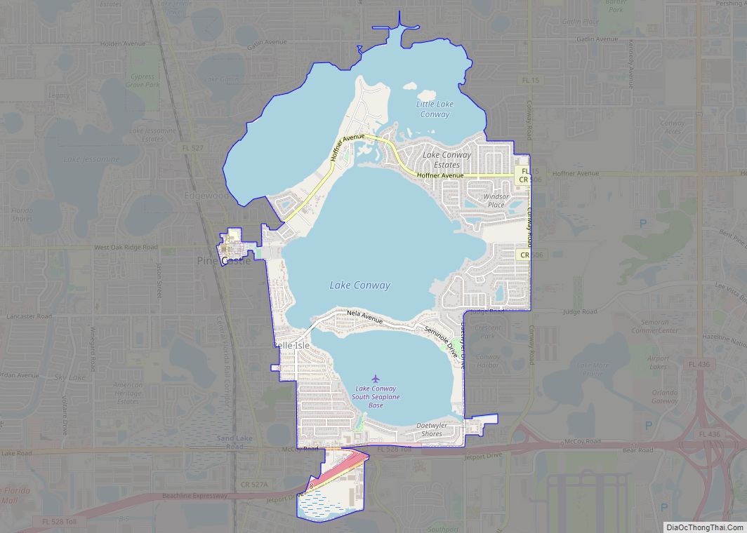
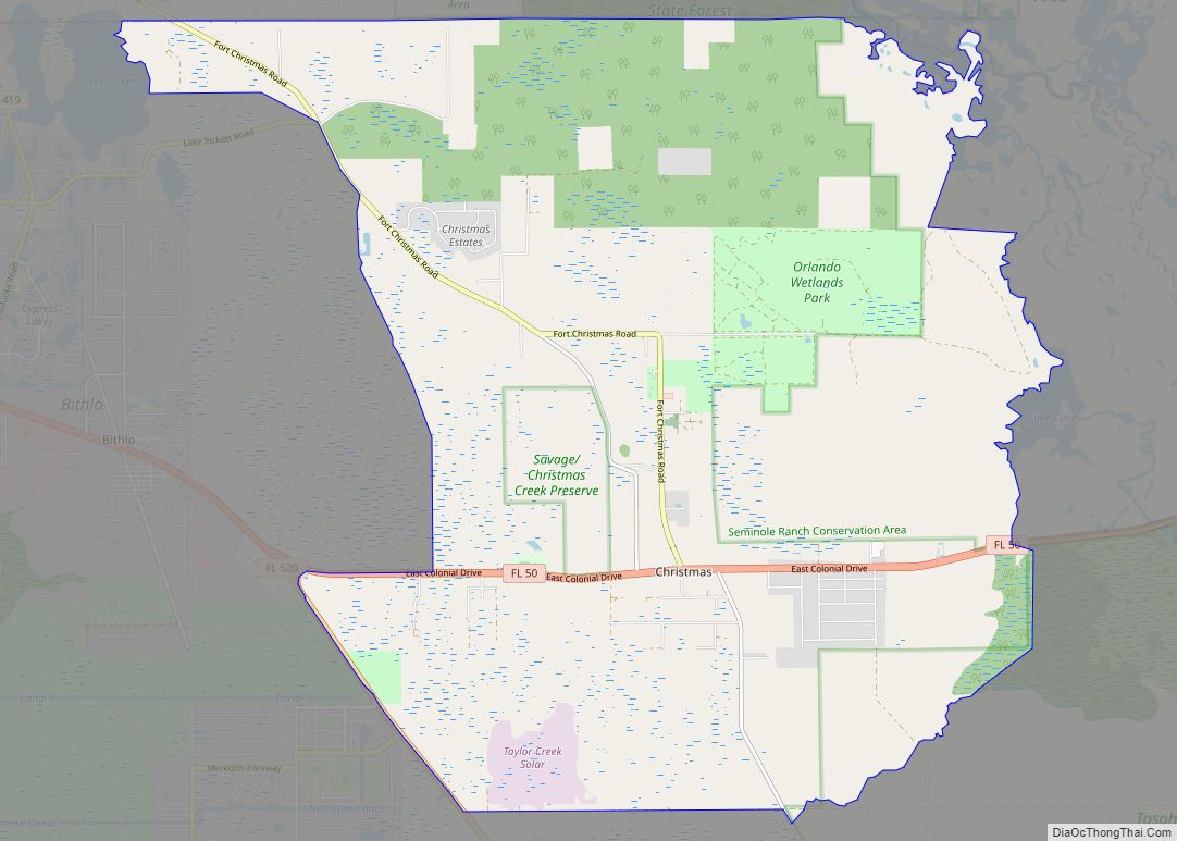
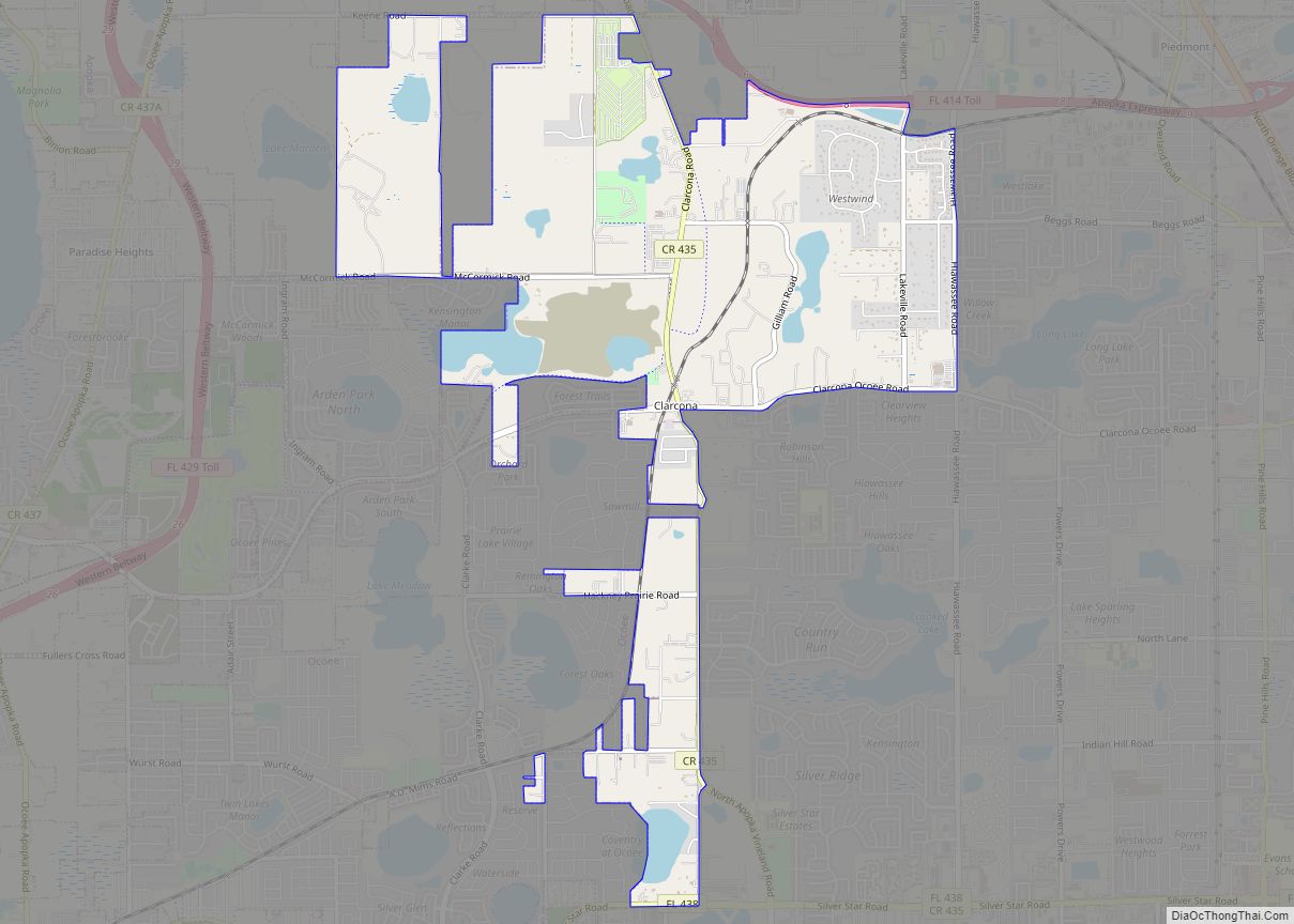
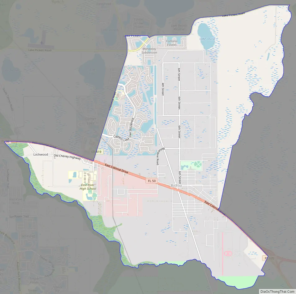
Bithlo Road Map
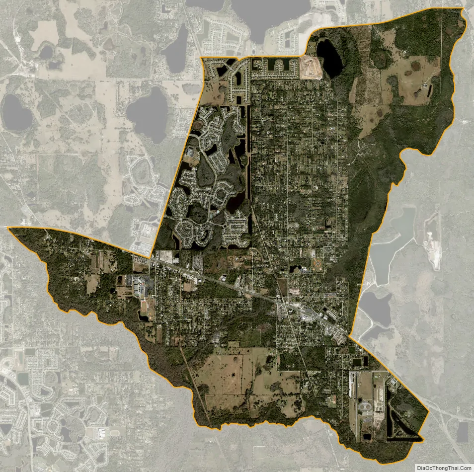
Bithlo city Satellite Map
Geography
Bithlo is located at 28°33′N 81°6′W / 28.550°N 81.100°W / 28.550; -81.100 (28.5525, -81.1058).
According to the United States Census Bureau, the CDP has a total area of 28.2 km (10.9 mi). 27.6 km (10.7 mi) of it is land and 0.5 km (0.2 mi) of it (1.84%) is water.
See also
Map of Florida State and its subdivision:- Alachua
- Baker
- Bay
- Bradford
- Brevard
- Broward
- Calhoun
- Charlotte
- Citrus
- Clay
- Collier
- Columbia
- Desoto
- Dixie
- Duval
- Escambia
- Flagler
- Franklin
- Gadsden
- Gilchrist
- Glades
- Gulf
- Hamilton
- Hardee
- Hendry
- Hernando
- Highlands
- Hillsborough
- Holmes
- Indian River
- Jackson
- Jefferson
- Lafayette
- Lake
- Lee
- Leon
- Levy
- Liberty
- Madison
- Manatee
- Marion
- Martin
- Miami-Dade
- Monroe
- Nassau
- Okaloosa
- Okeechobee
- Orange
- Osceola
- Palm Beach
- Pasco
- Pinellas
- Polk
- Putnam
- Saint Johns
- Saint Lucie
- Santa Rosa
- Sarasota
- Seminole
- Sumter
- Suwannee
- Taylor
- Union
- Volusia
- Wakulla
- Walton
- Washington
- Alabama
- Alaska
- Arizona
- Arkansas
- California
- Colorado
- Connecticut
- Delaware
- District of Columbia
- Florida
- Georgia
- Hawaii
- Idaho
- Illinois
- Indiana
- Iowa
- Kansas
- Kentucky
- Louisiana
- Maine
- Maryland
- Massachusetts
- Michigan
- Minnesota
- Mississippi
- Missouri
- Montana
- Nebraska
- Nevada
- New Hampshire
- New Jersey
- New Mexico
- New York
- North Carolina
- North Dakota
- Ohio
- Oklahoma
- Oregon
- Pennsylvania
- Rhode Island
- South Carolina
- South Dakota
- Tennessee
- Texas
- Utah
- Vermont
- Virginia
- Washington
- West Virginia
- Wisconsin
- Wyoming