Bloomingdale is an unincorporated census-designated place in Hillsborough County, Florida, United States. The population was 22,711 at the 2010 census. The ZIP Codes serving the community are 33511 (which is addressed to Brandon) and 33596 (which is addressed to Valrico).
| Name: | Bloomingdale CDP |
|---|---|
| LSAD Code: | 57 |
| LSAD Description: | CDP (suffix) |
| State: | Florida |
| County: | Hillsborough County |
| Elevation: | 52 ft (16 m) |
| Total Area: | 8.38 sq mi (21.71 km²) |
| Land Area: | 8.13 sq mi (21.07 km²) |
| Water Area: | 0.25 sq mi (0.64 km²) |
| Total Population: | 22,947 |
| Population Density: | 2,821.12/sq mi (1,089.23/km²) |
| Area code: | 813 |
| FIPS code: | 1206875 |
| GNISfeature ID: | 0278999 |
Online Interactive Map
Click on ![]() to view map in "full screen" mode.
to view map in "full screen" mode.
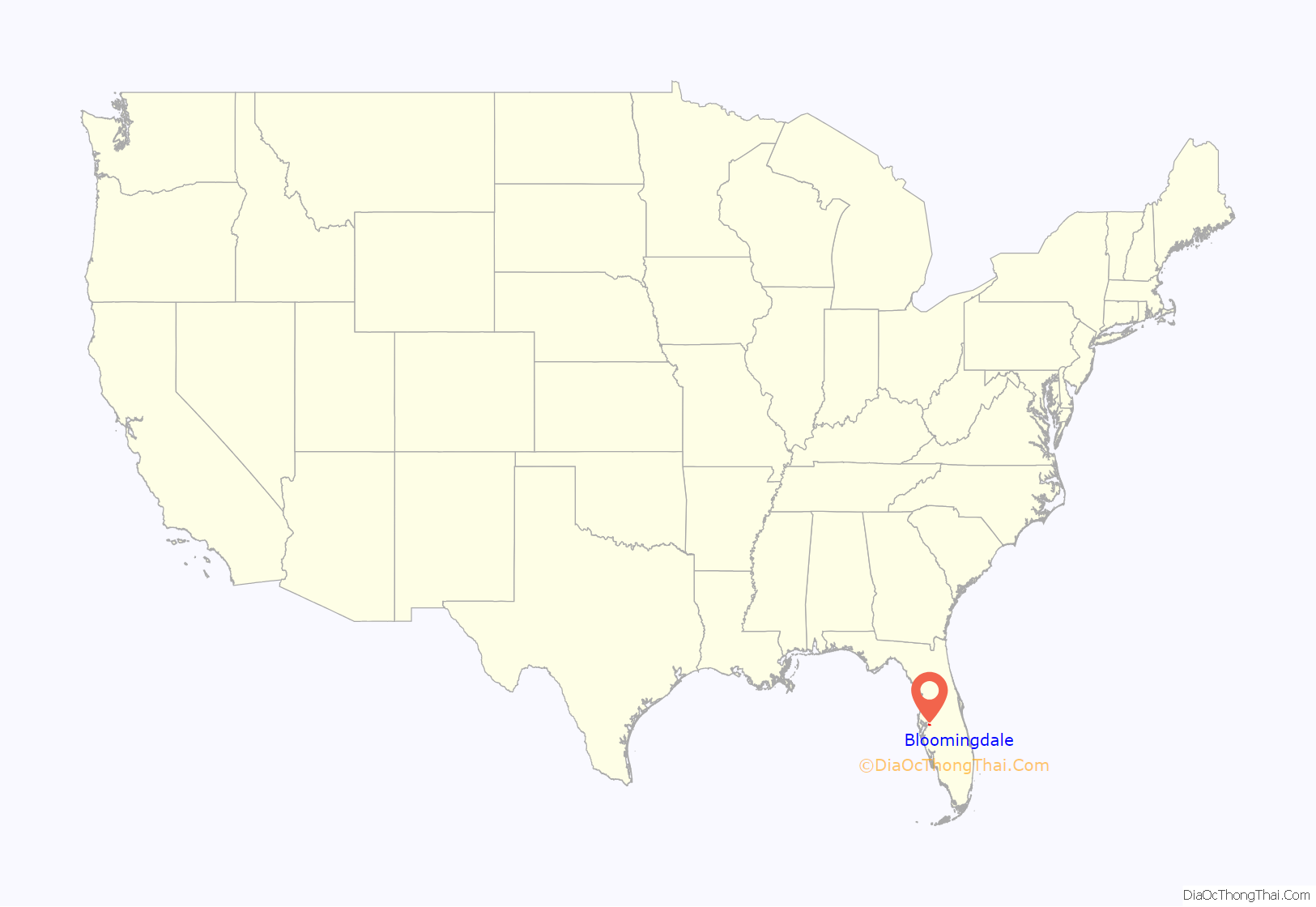
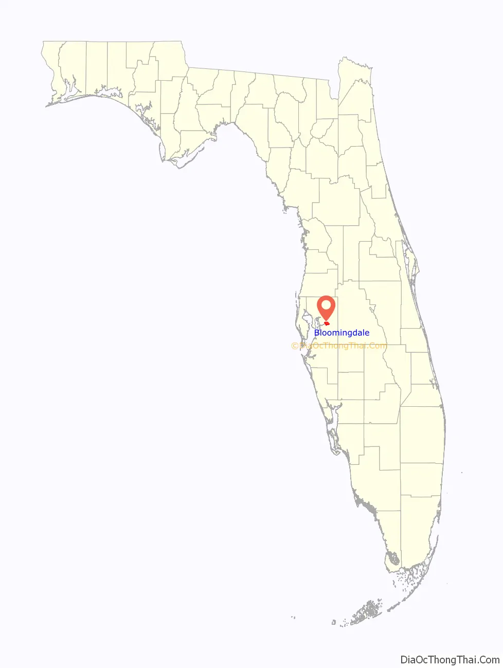
Bloomingdale location map. Where is Bloomingdale CDP?
History
Bloomingdale was settled some time before 1850 by John Vickers, John Carney, and others. Carney was killed on April 17, 1856, by Seminoles during the Third Seminole War. Bloomingdale School was founded in 1884, which in 1897 became a teacher’s institute, training an average of 54 teachers at a time from as far north as Gainesville and as far south as Miami-Dade County. In 1890 the railway was routed through Brandon, and Bloomingdale began to decline as businessmen like D.J. Galvin, who owned a feed store on the property that is now Mulrennan Middle School, moved to Brandon for access to all the benefits provided by the railroad. In 1910, the post office closed. In 1920, the school closed and the students were sent to Brandon instead. The community declined, or at best remained stable until the 1960s, when it became a bedroom community for Tampa.
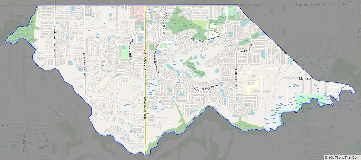
Bloomingdale Road Map
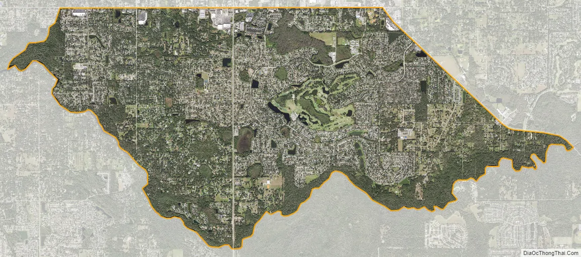
Bloomingdale city Satellite Map
Geography
Bloomingdale is located in east-central Hillsborough County at 27°52′55″N 82°15′36″W / 27.88194°N 82.26000°W / 27.88194; -82.26000 (27.881904, -82.259919). It is bordered to the north by Brandon, to the northeast by Valrico, to the southeast by FishHawk, and to the southwest by Riverview. Bloomingdale is 16 miles (26 km) southeast of downtown Tampa.
According to the United States Census Bureau, the Bloomingdale CDP has a total area of 8.4 square miles (21.7 km), of which 8.1 square miles (21.1 km) are land and 0.2 square miles (0.6 km), or 2.97%, are water. The Alafia River forms the southern border of the CDP. Bell Shoals are some rapids on the river in Bloomingdale.
See also
Map of Florida State and its subdivision:- Alachua
- Baker
- Bay
- Bradford
- Brevard
- Broward
- Calhoun
- Charlotte
- Citrus
- Clay
- Collier
- Columbia
- Desoto
- Dixie
- Duval
- Escambia
- Flagler
- Franklin
- Gadsden
- Gilchrist
- Glades
- Gulf
- Hamilton
- Hardee
- Hendry
- Hernando
- Highlands
- Hillsborough
- Holmes
- Indian River
- Jackson
- Jefferson
- Lafayette
- Lake
- Lee
- Leon
- Levy
- Liberty
- Madison
- Manatee
- Marion
- Martin
- Miami-Dade
- Monroe
- Nassau
- Okaloosa
- Okeechobee
- Orange
- Osceola
- Palm Beach
- Pasco
- Pinellas
- Polk
- Putnam
- Saint Johns
- Saint Lucie
- Santa Rosa
- Sarasota
- Seminole
- Sumter
- Suwannee
- Taylor
- Union
- Volusia
- Wakulla
- Walton
- Washington
- Alabama
- Alaska
- Arizona
- Arkansas
- California
- Colorado
- Connecticut
- Delaware
- District of Columbia
- Florida
- Georgia
- Hawaii
- Idaho
- Illinois
- Indiana
- Iowa
- Kansas
- Kentucky
- Louisiana
- Maine
- Maryland
- Massachusetts
- Michigan
- Minnesota
- Mississippi
- Missouri
- Montana
- Nebraska
- Nevada
- New Hampshire
- New Jersey
- New Mexico
- New York
- North Carolina
- North Dakota
- Ohio
- Oklahoma
- Oregon
- Pennsylvania
- Rhode Island
- South Carolina
- South Dakota
- Tennessee
- Texas
- Utah
- Vermont
- Virginia
- Washington
- West Virginia
- Wisconsin
- Wyoming


