Bokeelia is an unincorporated community and census-designated place (CDP) located on Pine Island in Lee County, Florida, United States. As of the 2020 census, the CDP had a population of 1,855, up from 1,780 at the 2010 census. It is part of the Cape Coral-Fort Myers, Florida Metropolitan Statistical Area. Bokeelia is still home to one of Lee County’s first pioneer families, the Padillas, who came by way of Cayo Costa.
| Name: | Bokeelia CDP |
|---|---|
| LSAD Code: | 57 |
| LSAD Description: | CDP (suffix) |
| State: | Florida |
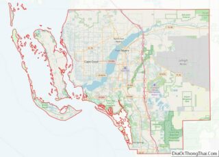
| County: | Lee County |
| Elevation: | 2 ft (0.6 m) |
| Total Area: | 11.17 sq mi (28.92 km²) |
| Land Area: | 8.95 sq mi (23.18 km²) |
| Water Area: | 2.22 sq mi (5.75 km²) |
| Total Population: | 1,855 |
| Population Density: | 207.26/sq mi (80.03/km²) |
| ZIP code: | 33922 |
| Area code: | 239 |
| FIPS code: | 1207375 |
| GNISfeature ID: | 0279189 |
Online Interactive Map
Click on ![]() to view map in "full screen" mode.
to view map in "full screen" mode.
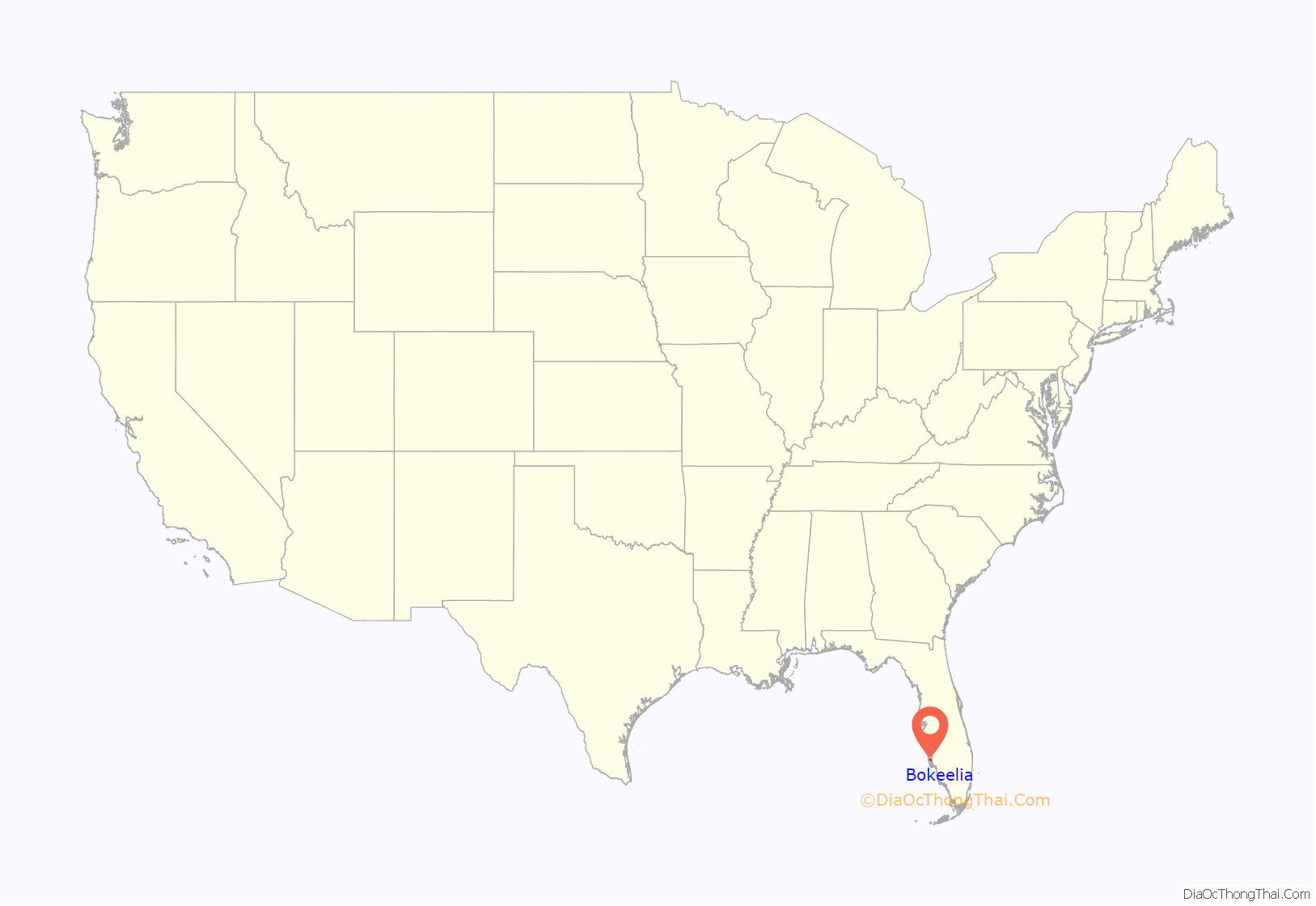
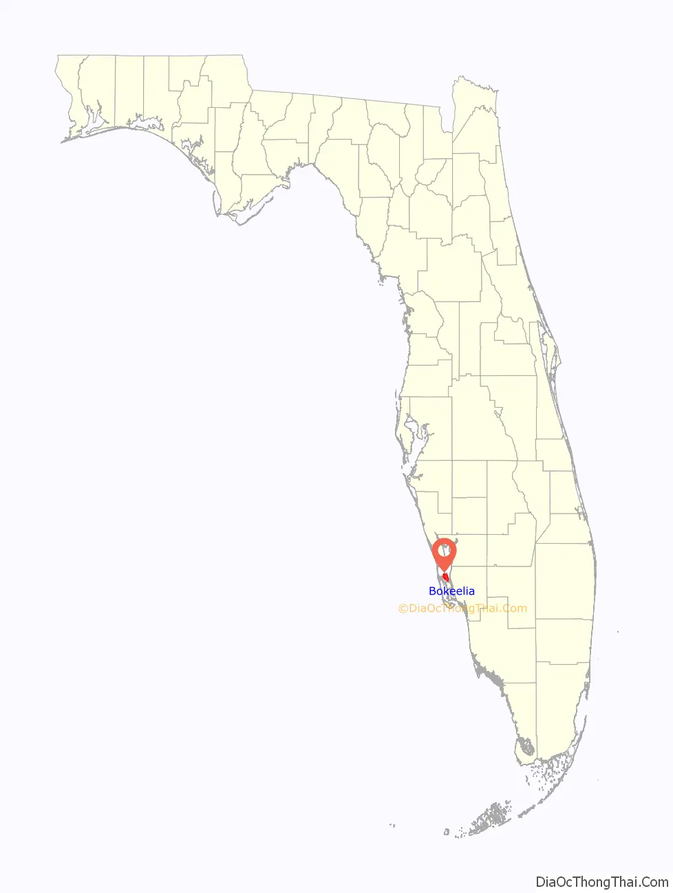
Bokeelia location map. Where is Bokeelia CDP?
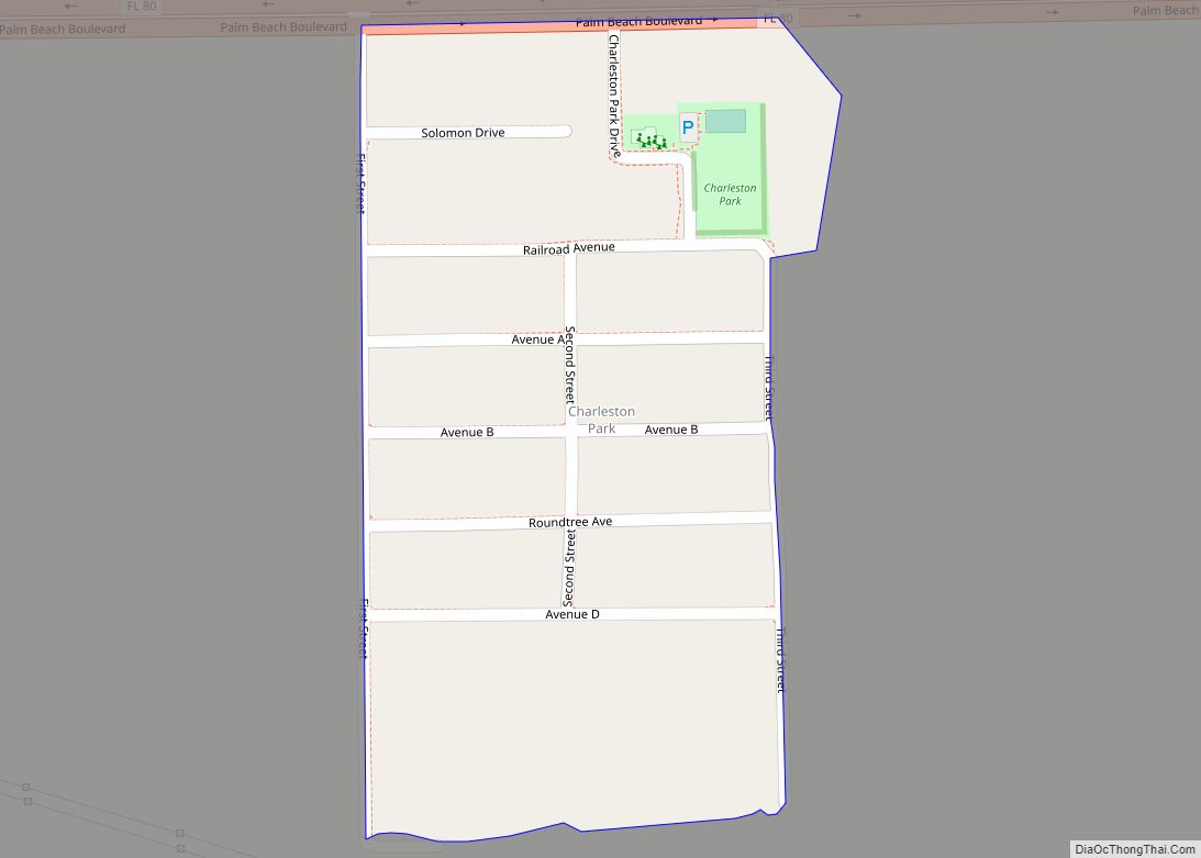
Bokeelia Road Map
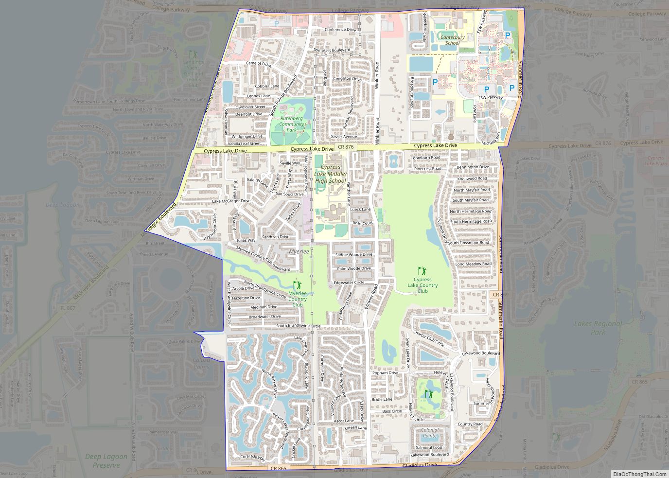
Bokeelia city Satellite Map
Geography
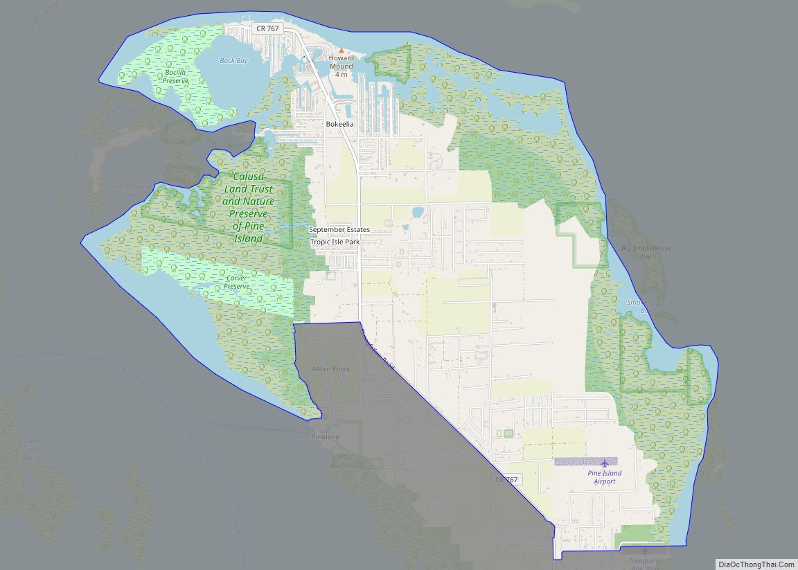
Bokeelia is located in western Lee County at 26°41′17″N 82°8′43″W / 26.68806°N 82.14528°W / 26.68806; -82.14528 (26.687960, -82.145249). It sits at the northern end of Pine Island and is bordered by water on three sides: Pine Island Sound to the west, Charlotte Harbor to the north, and Matlacha Pass to the east. Bokeelia is bordered to the south by the unincorporated communities of Pineland and Pine Island Center.
The original settlement of Bokeelia is on Bokeelia Island, connected to Pine Island by a short bridge on Stringfellow Road (County Road 767), the main road through the community, and which ends at the town’s short Main Street along Charlotte Harbor. To the south Stringfellow Road leads 7 miles (11 km) to Pine Island Center, from where County Road 78 leads west to Cape Coral on the mainland.
According to the United States Census Bureau, the Bokeelia CDP has a total area of 11.2 square miles (28.9 km), of which 9.0 square miles (23.2 km) are land and 2.2 square miles (5.7 km), or 19.87%, are water.
Little Bokeelia Island, formerly owned by Charles Burgess, is a private island off Bokeelia.
See also
Map of Florida State and its subdivision:- Alachua
- Baker
- Bay
- Bradford
- Brevard
- Broward
- Calhoun
- Charlotte
- Citrus
- Clay
- Collier
- Columbia
- Desoto
- Dixie
- Duval
- Escambia
- Flagler
- Franklin
- Gadsden
- Gilchrist
- Glades
- Gulf
- Hamilton
- Hardee
- Hendry
- Hernando
- Highlands
- Hillsborough
- Holmes
- Indian River
- Jackson
- Jefferson
- Lafayette
- Lake
- Lee
- Leon
- Levy
- Liberty
- Madison
- Manatee
- Marion
- Martin
- Miami-Dade
- Monroe
- Nassau
- Okaloosa
- Okeechobee
- Orange
- Osceola
- Palm Beach
- Pasco
- Pinellas
- Polk
- Putnam
- Saint Johns
- Saint Lucie
- Santa Rosa
- Sarasota
- Seminole
- Sumter
- Suwannee
- Taylor
- Union
- Volusia
- Wakulla
- Walton
- Washington
- Alabama
- Alaska
- Arizona
- Arkansas
- California
- Colorado
- Connecticut
- Delaware
- District of Columbia
- Florida
- Georgia
- Hawaii
- Idaho
- Illinois
- Indiana
- Iowa
- Kansas
- Kentucky
- Louisiana
- Maine
- Maryland
- Massachusetts
- Michigan
- Minnesota
- Mississippi
- Missouri
- Montana
- Nebraska
- Nevada
- New Hampshire
- New Jersey
- New Mexico
- New York
- North Carolina
- North Dakota
- Ohio
- Oklahoma
- Oregon
- Pennsylvania
- Rhode Island
- South Carolina
- South Dakota
- Tennessee
- Texas
- Utah
- Vermont
- Virginia
- Washington
- West Virginia
- Wisconsin
- Wyoming