Bradenton Beach is a city on Anna Maria Island in Manatee County, Florida, United States. The population was 908 at the 2020 census, down from 1,171 in 2010. It is part of the Bradenton-Sarasota-Venice, Florida Metropolitan Statistical Area. The city occupies the southern part of Anna Maria Island and is one of three municipalities on the island. The others are Holmes Beach in the center and Anna Maria in the north.
| Name: | Bradenton Beach city |
|---|---|
| LSAD Code: | 25 |
| LSAD Description: | city (suffix) |
| State: | Florida |
| County: | Manatee County |
| Elevation: | 5 ft (2 m) |
| Total Area: | 1.19 sq mi (3.08 km²) |
| Land Area: | 0.52 sq mi (1.34 km²) |
| Water Area: | 0.67 sq mi (1.74 km²) |
| Total Population: | 908 |
| Population Density: | 1,756.29/sq mi (678.15/km²) |
| ZIP code: | 34217-34218 |
| Area code: | 941 |
| FIPS code: | 1207975 |
| GNISfeature ID: | 0279312 |
| Website: | www.cityofbradentonbeach.com |
Online Interactive Map
Click on ![]() to view map in "full screen" mode.
to view map in "full screen" mode.
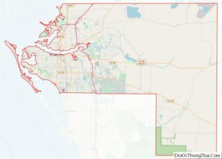
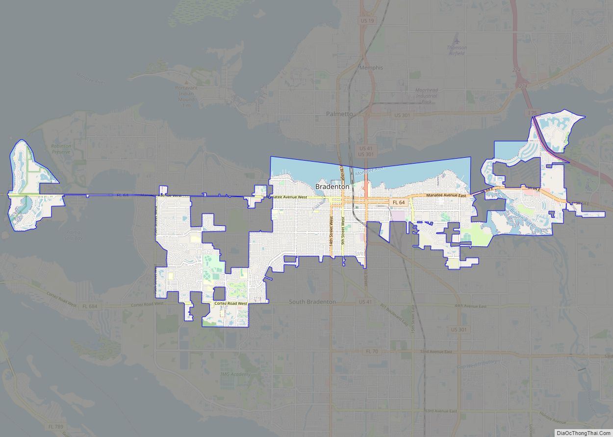
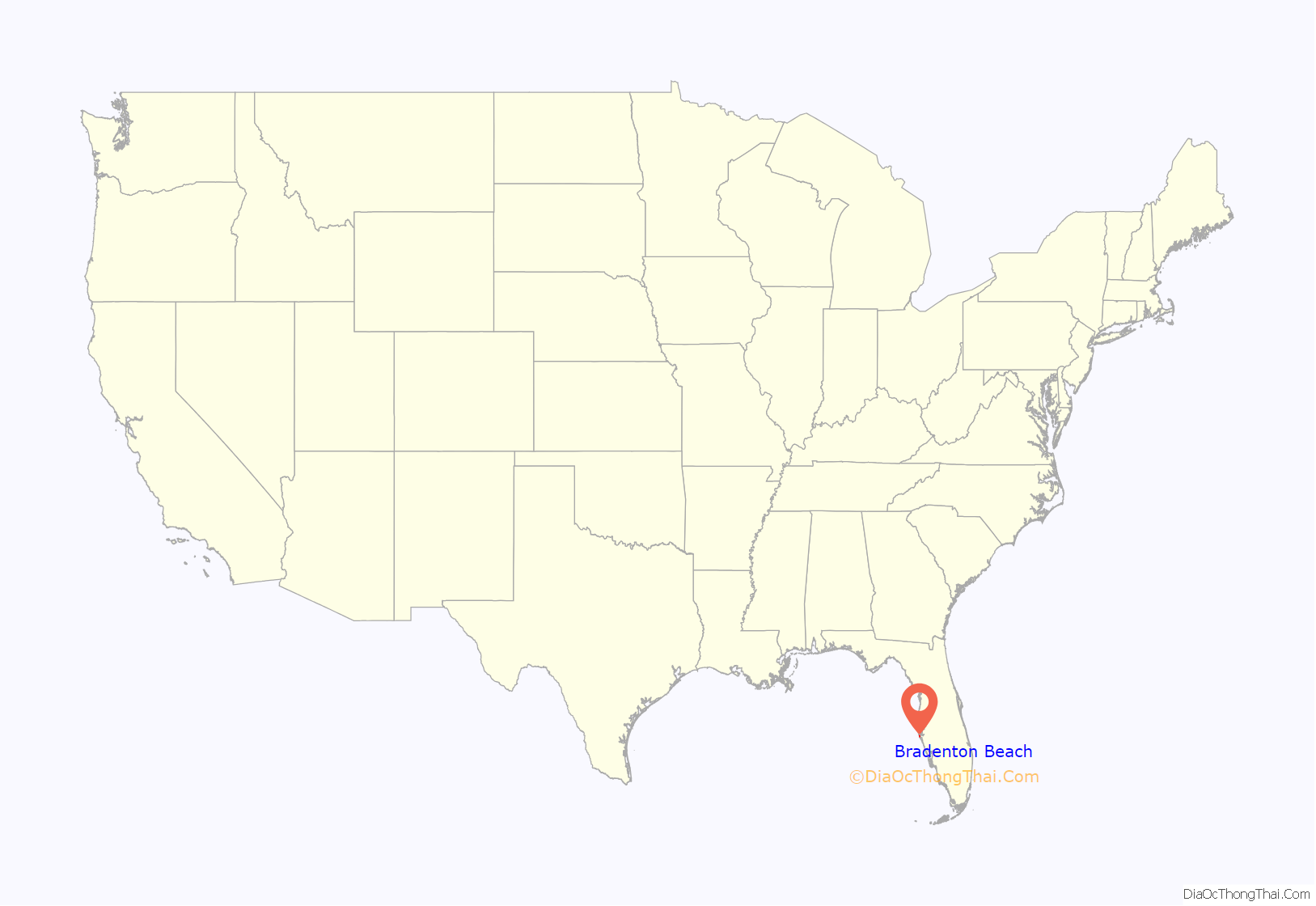
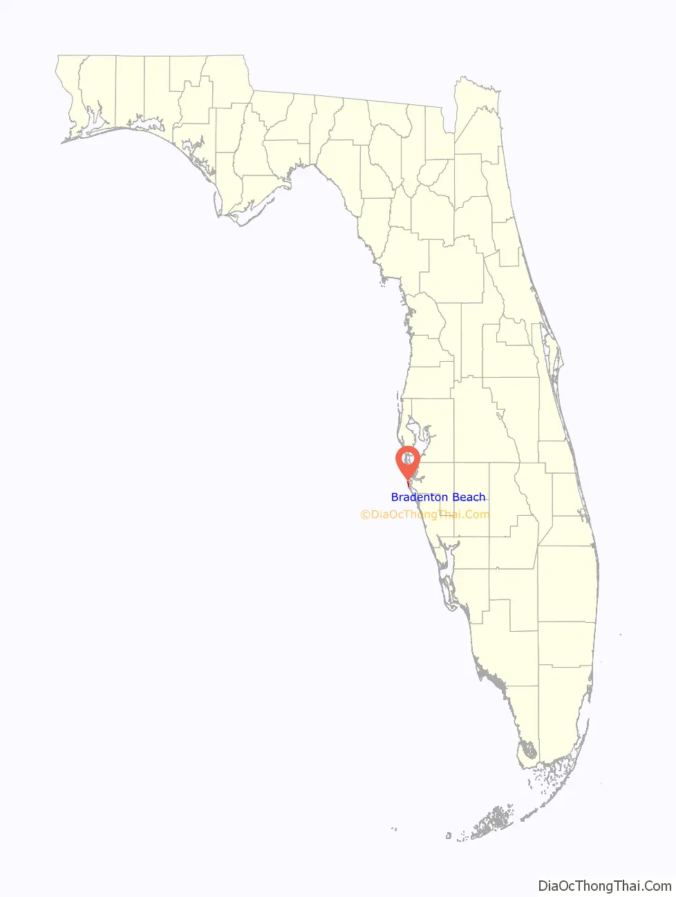
Bradenton Beach location map. Where is Bradenton Beach city?
History
Pre-1950
Bradenton Beach was originally referred to as “Cortez Beach” since it was close to the community of Cortez. Construction on a wooden bridge to the mainland began in the summer of 1921. The 1921 Tampa Bay hurricane that October destroyed 80% of the bridge that was built up to that point. Despite a majority of the bridge being destroyed, it was completed sometime in June 1922, eight months later.
A two-story pavilion at the end of Bridge Street was built that same year. It had 100 lockers along with a dance hall and dining room located in the center of the building. On the second floor, the owners of the pavilion had their apartments. It would burn down after a fire and was later rebuilt. The pavilion was destroyed by fire for a second time in 1929 and was never rebuilt. The name “Bradenton Beach” began being used during the mid 1920s as the Florida land boom was occurring. Real estate developers saw this as a way to convince possible buyers that it was closer to Bradenton. Sometime in early 1926, a county bond was approved to build a wooden bridge linking Bradenton Beach to Longboat Key; the bridge was finished in August. However, the bridge was only open until October, when a hurricane damaged it. On March 6, 1932, the bridge was swept away during a high tide. It would not be replaced until 1957.
The Regina, a tanker barge with over 350,000 gallons of molasses onboard and eight crew, sank 200 yards offshore on a sandbar on March 8, 1940. Regina was under tow by a tugboat, Minima and the line that was towing it had broke near Egmont Key. Both vessels had decided to try and go into Tampa Bay seeking shelter because of the weather conditions. One of the crew members, its cook and a German Shepherd onboard the ship would die during an attempt to leave the ship. All seven other crew members were rescued.
A post office called Bradenton Beach has been in operation since 1941.
Post-1950
Bradenton Beach was incorporated on December 21, 1951, after an 84–56 vote to become a city. Bernard Wagaman served as Bradenton Beach’s first mayor; he owned a cottage rental apartment complex there named Wagaman’s Modern Apartments.
The main wooden bridge to the island from Cortez was replaced by a concrete one in 1957 as local residents wanted a stronger bridge. A parade led by an elephant was hosted by the city to display its strength and to convince the local residents as well. To offset the cost of the bridge, the local government made it a toll bridge until 1964 when it was reimbursed. Cars were charged 30¢ entering the island, and no toll was charged on those leaving the island.
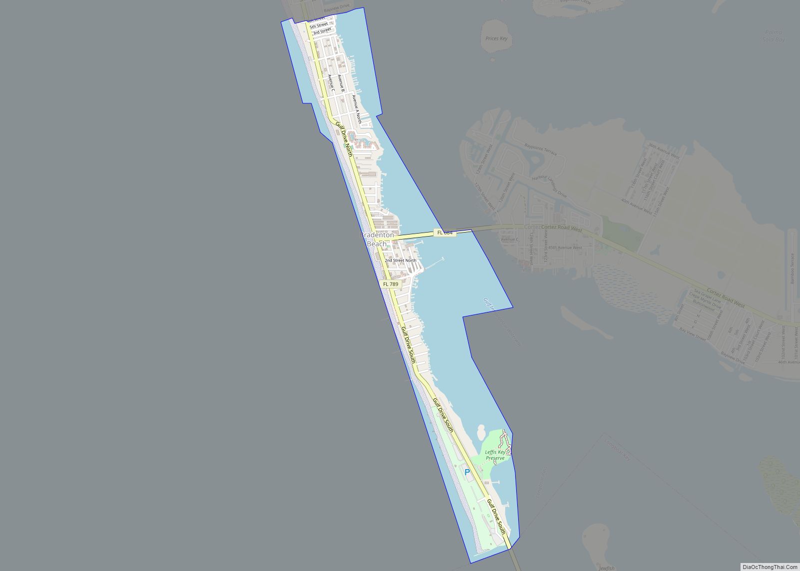
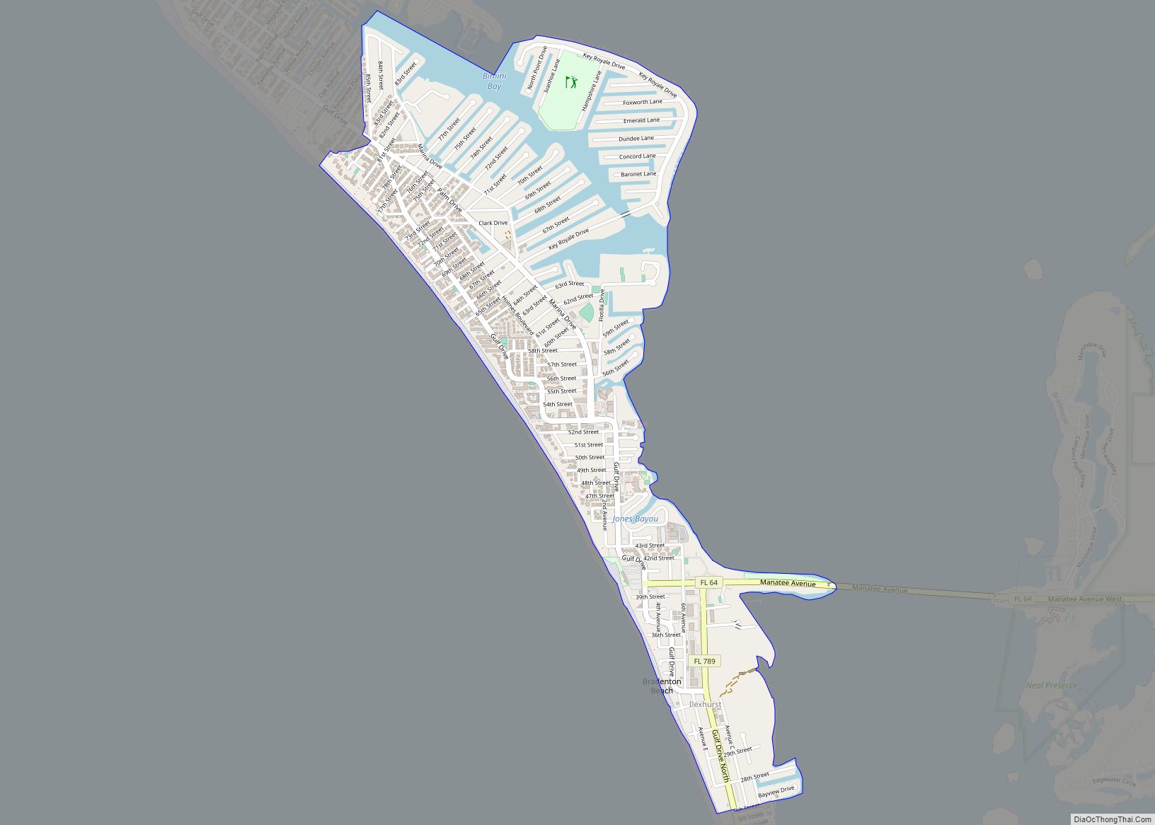
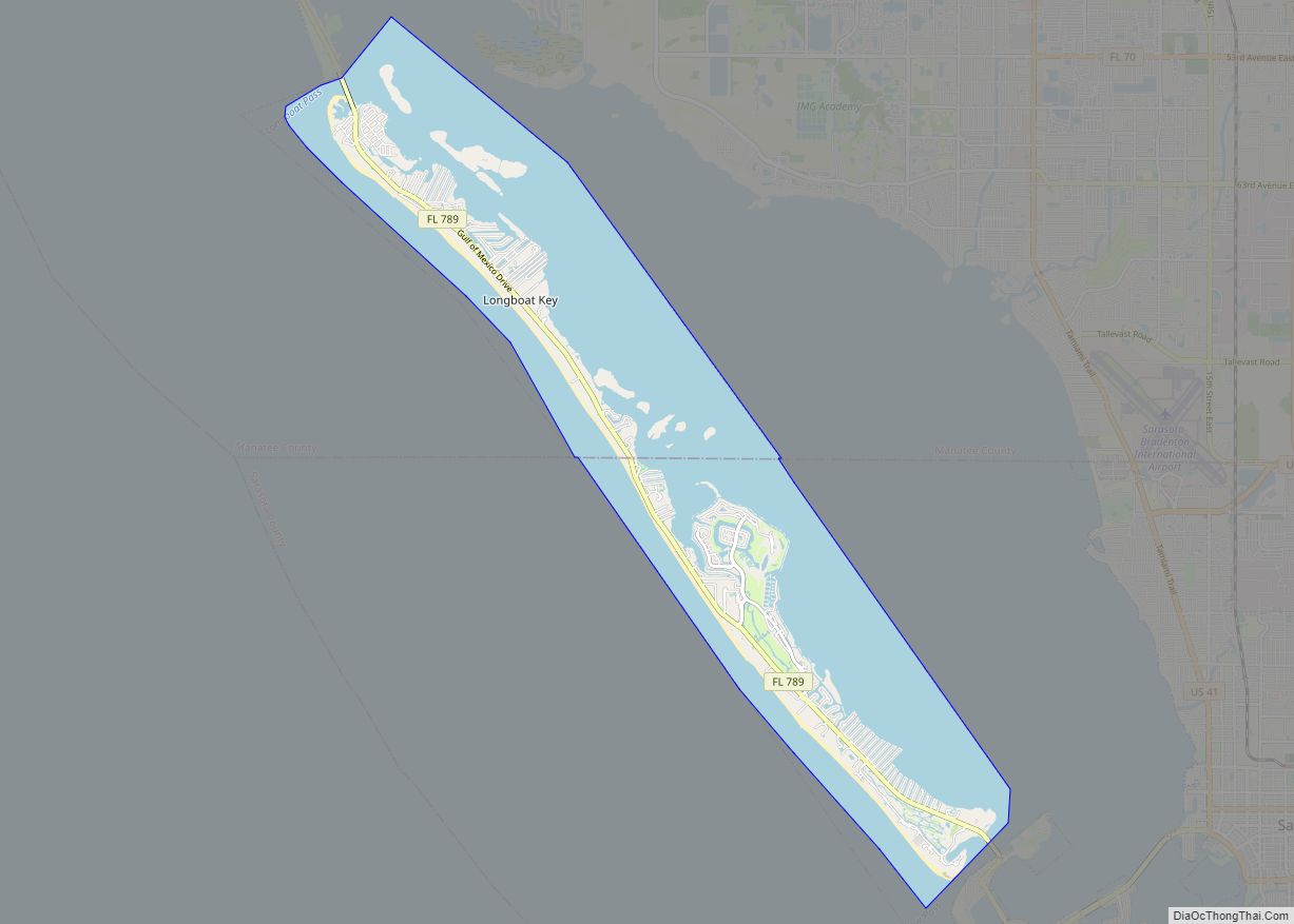
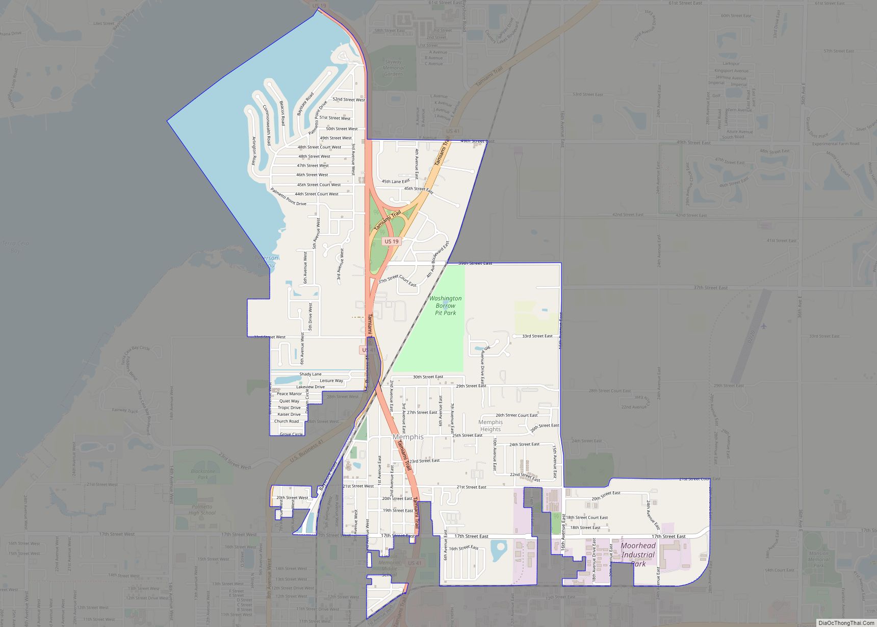
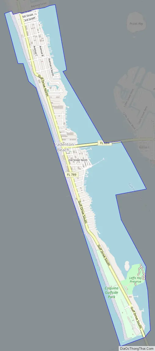
Bradenton Beach Road Map
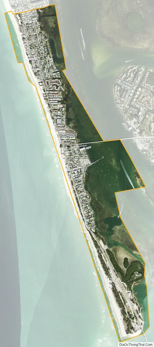
Bradenton Beach city Satellite Map
Geography
Bradenton Beach occupies the southern part of Anna Maria Island, between the Gulf of Mexico to the west and Anna Maria Sound to the east. The city is bordered to the north by Holmes Beach and to the south, across Longboat Pass, by Longboat Key. To the east, across Anna Maria Sound, is the unincorporated community of Cortez, connected to Bradenton Beach by the Cortez Bridge. The city of Bradenton is 10 miles (16 km) to the east.
According to the United States Census Bureau, Bradenton Beach has a total area of 1.19 square miles (3.08 km), of which 0.52 square miles (1.35 km) are land and 0.67 square miles (1.74 km), or 56.55%, are water.
See also
Map of Florida State and its subdivision:- Alachua
- Baker
- Bay
- Bradford
- Brevard
- Broward
- Calhoun
- Charlotte
- Citrus
- Clay
- Collier
- Columbia
- Desoto
- Dixie
- Duval
- Escambia
- Flagler
- Franklin
- Gadsden
- Gilchrist
- Glades
- Gulf
- Hamilton
- Hardee
- Hendry
- Hernando
- Highlands
- Hillsborough
- Holmes
- Indian River
- Jackson
- Jefferson
- Lafayette
- Lake
- Lee
- Leon
- Levy
- Liberty
- Madison
- Manatee
- Marion
- Martin
- Miami-Dade
- Monroe
- Nassau
- Okaloosa
- Okeechobee
- Orange
- Osceola
- Palm Beach
- Pasco
- Pinellas
- Polk
- Putnam
- Saint Johns
- Saint Lucie
- Santa Rosa
- Sarasota
- Seminole
- Sumter
- Suwannee
- Taylor
- Union
- Volusia
- Wakulla
- Walton
- Washington
- Alabama
- Alaska
- Arizona
- Arkansas
- California
- Colorado
- Connecticut
- Delaware
- District of Columbia
- Florida
- Georgia
- Hawaii
- Idaho
- Illinois
- Indiana
- Iowa
- Kansas
- Kentucky
- Louisiana
- Maine
- Maryland
- Massachusetts
- Michigan
- Minnesota
- Mississippi
- Missouri
- Montana
- Nebraska
- Nevada
- New Hampshire
- New Jersey
- New Mexico
- New York
- North Carolina
- North Dakota
- Ohio
- Oklahoma
- Oregon
- Pennsylvania
- Rhode Island
- South Carolina
- South Dakota
- Tennessee
- Texas
- Utah
- Vermont
- Virginia
- Washington
- West Virginia
- Wisconsin
- Wyoming