Christmas is an unincorporated area and census-designated place in Orange County, Florida, United States. It is part of the Orlando–Kissimmee Metropolitan Statistical Area.
The population was 1,146 at the 2010 census. Christmas is home to the world’s largest alligator-shaped building, measuring at just over 200 feet (61 m); to Fort Christmas Historical Park, a recreation of the Second Seminole War Fort Christmas; and to Fort Christmas Folk School, a nonprofit school dedicated to teaching folk arts. Every year, Christmas sends a large amount of mail from its post office from people who mail letters from the town so they can have the “Christmas” postmark on their holiday mailings.
Christmas is the birthplace of the American sculptor James Hughlette “Tex” Wheeler, who is best known for his bronze sculpture of the famed racehorse Seabiscuit which holds a place of honor at Santa Anita Park racetrack in California and his “tribute to the American folk humorist, Will Rogers at Claremore, Oklahoma”. Wheeler is buried in the Fort Christmas Cemetery.
Christmas is home to many Orlando digital TV stations’ transmission towers.
| Name: | Christmas CDP |
|---|---|
| LSAD Code: | 57 |
| LSAD Description: | CDP (suffix) |
| State: | Florida |
| County: | Orange County |
| Elevation: | 43 ft (13 m) |
| Total Area: | 45.22 sq mi (117.13 km²) |
| Land Area: | 45.21 sq mi (117.10 km²) |
| Water Area: | 0.01 sq mi (0.03 km²) |
| Total Population: | 2,439 |
| Population Density: | 53.94/sq mi (20.83/km²) |
| ZIP code: | 32709 |
| Area code: | 407, 689, 321 |
| FIPS code: | 1212250 |
| GNISfeature ID: | 0280429 |
Online Interactive Map
Click on ![]() to view map in "full screen" mode.
to view map in "full screen" mode.
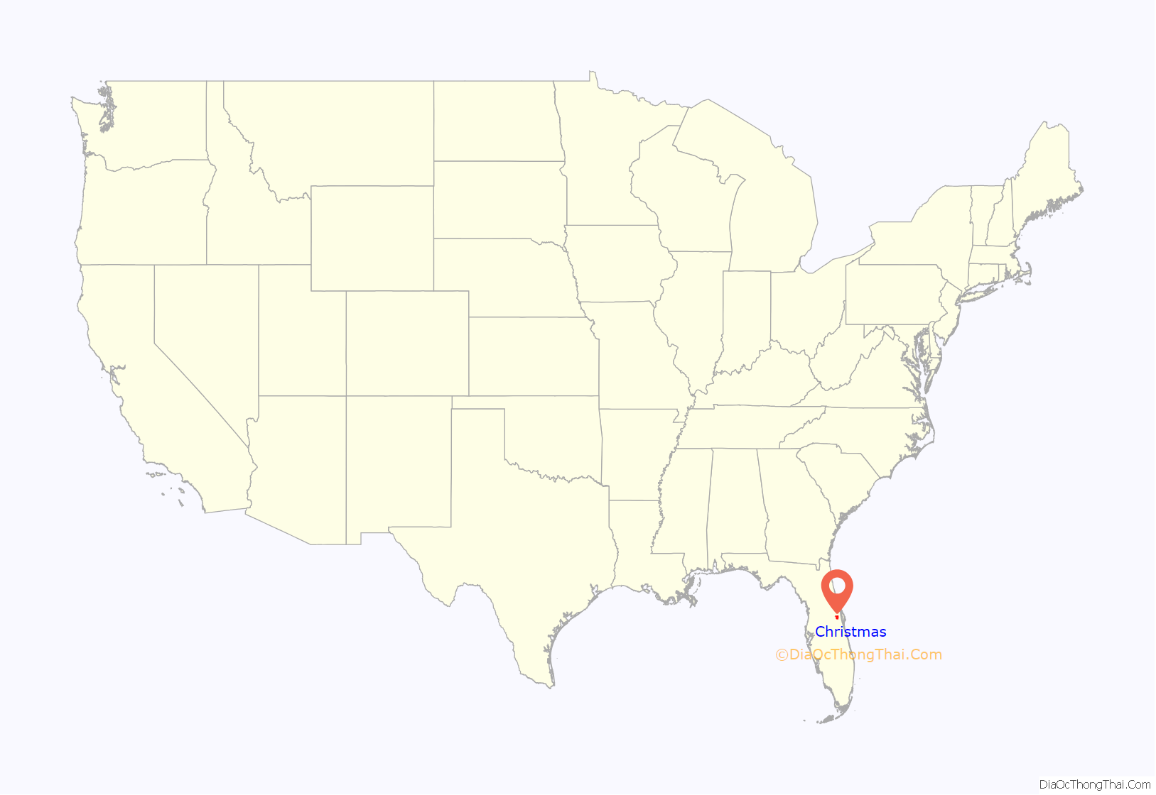
Christmas location map. Where is Christmas CDP?
History
On December 25, 1837, a force of 2,000 U.S. Army soldiers and Alabama Volunteers arrived in the area to construct a fort, which they named Fort Christmas. The fort was one of over 200 forts built during the Second Seminole War. In 1892, a Post Office opened at Christmas.
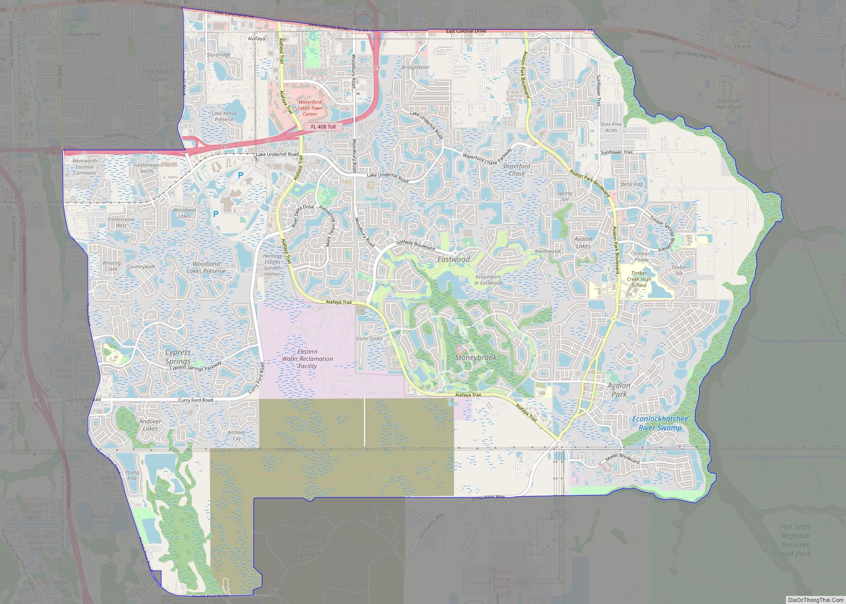
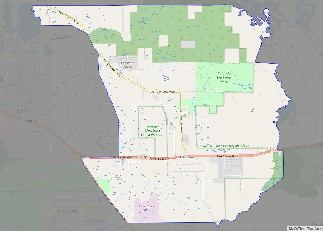
Christmas Road Map
Christmas city Satellite Map
Geography
Christmas is located at 28°32′N 81°0′W / 28.533°N 81.000°W / 28.533; -81.000 (28.5324, -80.9940). According to the United States Census Bureau, the Christmas CDP (Census Designated Place) has a total area of 3.4 square miles (8.9 km), all land.
See also
Map of Florida State and its subdivision:- Alachua
- Baker
- Bay
- Bradford
- Brevard
- Broward
- Calhoun
- Charlotte
- Citrus
- Clay
- Collier
- Columbia
- Desoto
- Dixie
- Duval
- Escambia
- Flagler
- Franklin
- Gadsden
- Gilchrist
- Glades
- Gulf
- Hamilton
- Hardee
- Hendry
- Hernando
- Highlands
- Hillsborough
- Holmes
- Indian River
- Jackson
- Jefferson
- Lafayette
- Lake
- Lee
- Leon
- Levy
- Liberty
- Madison
- Manatee
- Marion
- Martin
- Miami-Dade
- Monroe
- Nassau
- Okaloosa
- Okeechobee
- Orange
- Osceola
- Palm Beach
- Pasco
- Pinellas
- Polk
- Putnam
- Saint Johns
- Saint Lucie
- Santa Rosa
- Sarasota
- Seminole
- Sumter
- Suwannee
- Taylor
- Union
- Volusia
- Wakulla
- Walton
- Washington
- Alabama
- Alaska
- Arizona
- Arkansas
- California
- Colorado
- Connecticut
- Delaware
- District of Columbia
- Florida
- Georgia
- Hawaii
- Idaho
- Illinois
- Indiana
- Iowa
- Kansas
- Kentucky
- Louisiana
- Maine
- Maryland
- Massachusetts
- Michigan
- Minnesota
- Mississippi
- Missouri
- Montana
- Nebraska
- Nevada
- New Hampshire
- New Jersey
- New Mexico
- New York
- North Carolina
- North Dakota
- Ohio
- Oklahoma
- Oregon
- Pennsylvania
- Rhode Island
- South Carolina
- South Dakota
- Tennessee
- Texas
- Utah
- Vermont
- Virginia
- Washington
- West Virginia
- Wisconsin
- Wyoming
