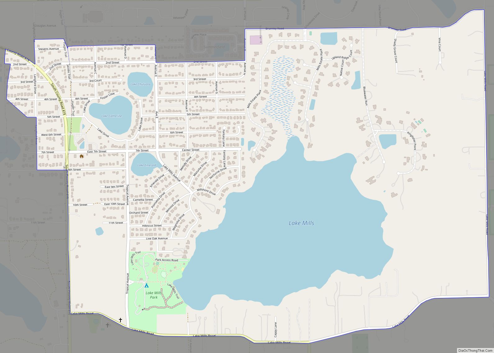
Chuluota (/tʃuːliˈoʊtə/ choo-lee-OH-tə) is a census-designated place and an unincorporated area in Seminole County, Florida, United States. The population was 2,524 at the 2020 Census. It is part of the Orlando–Kissimmee Metropolitan Statistical Area.
| Name: | Chuluota CDP |
|---|---|
| LSAD Code: | 57 |
| LSAD Description: | CDP (suffix) |
| State: | Florida |
| County: | Seminole County |
| Elevation: | 39 ft (12 m) |
| Total Area: | 2.46 sq mi (6.36 km²) |
| Land Area: | 2.04 sq mi (5.29 km²) |
| Water Area: | 0.41 sq mi (1.08 km²) |
| Total Population: | 2,524 |
| Population Density: | 1,236.04/sq mi (477.26/km²) |
| ZIP code: | 32766 |
| Area code: | 407, 689, 321 |
| FIPS code: | 1212275 |
| GNISfeature ID: | 2402773 |
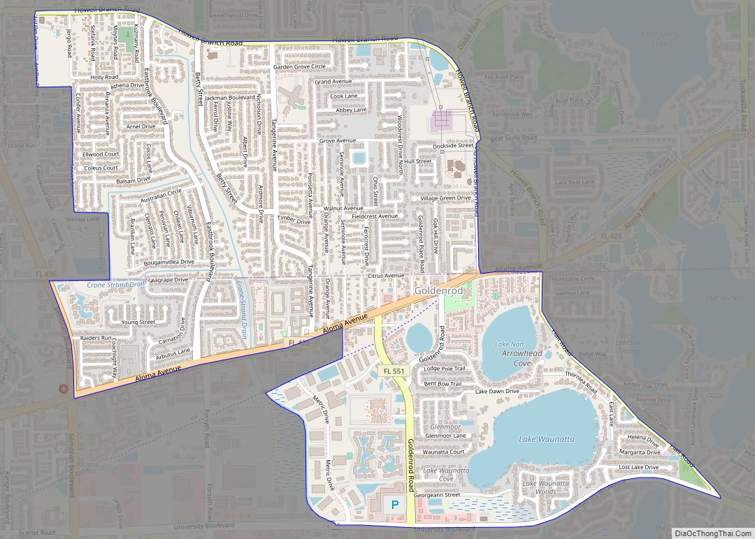
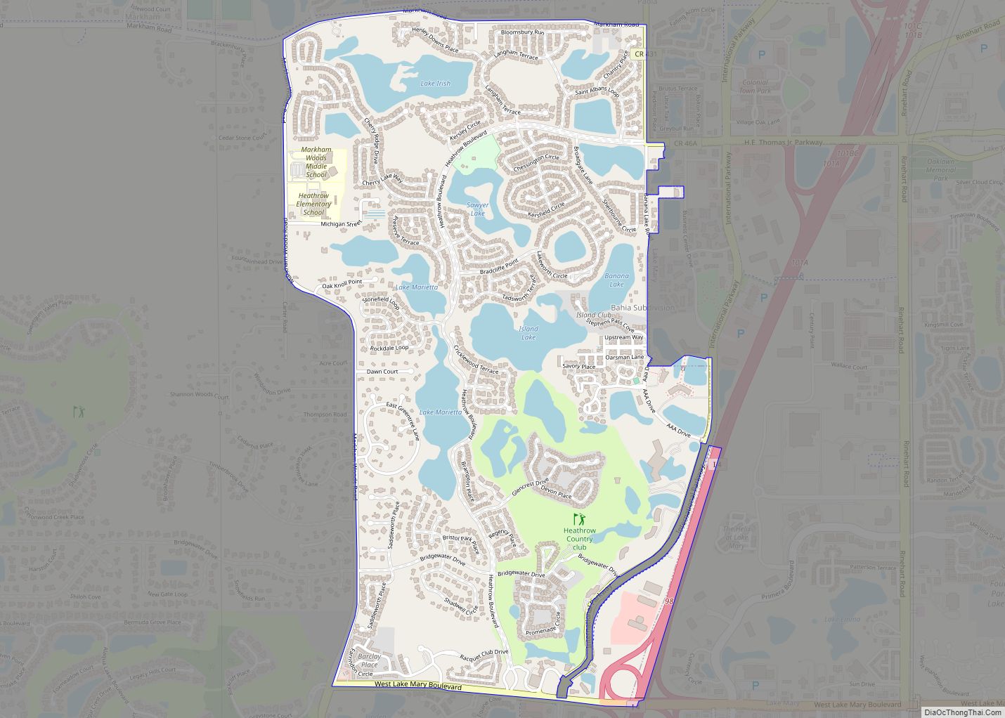
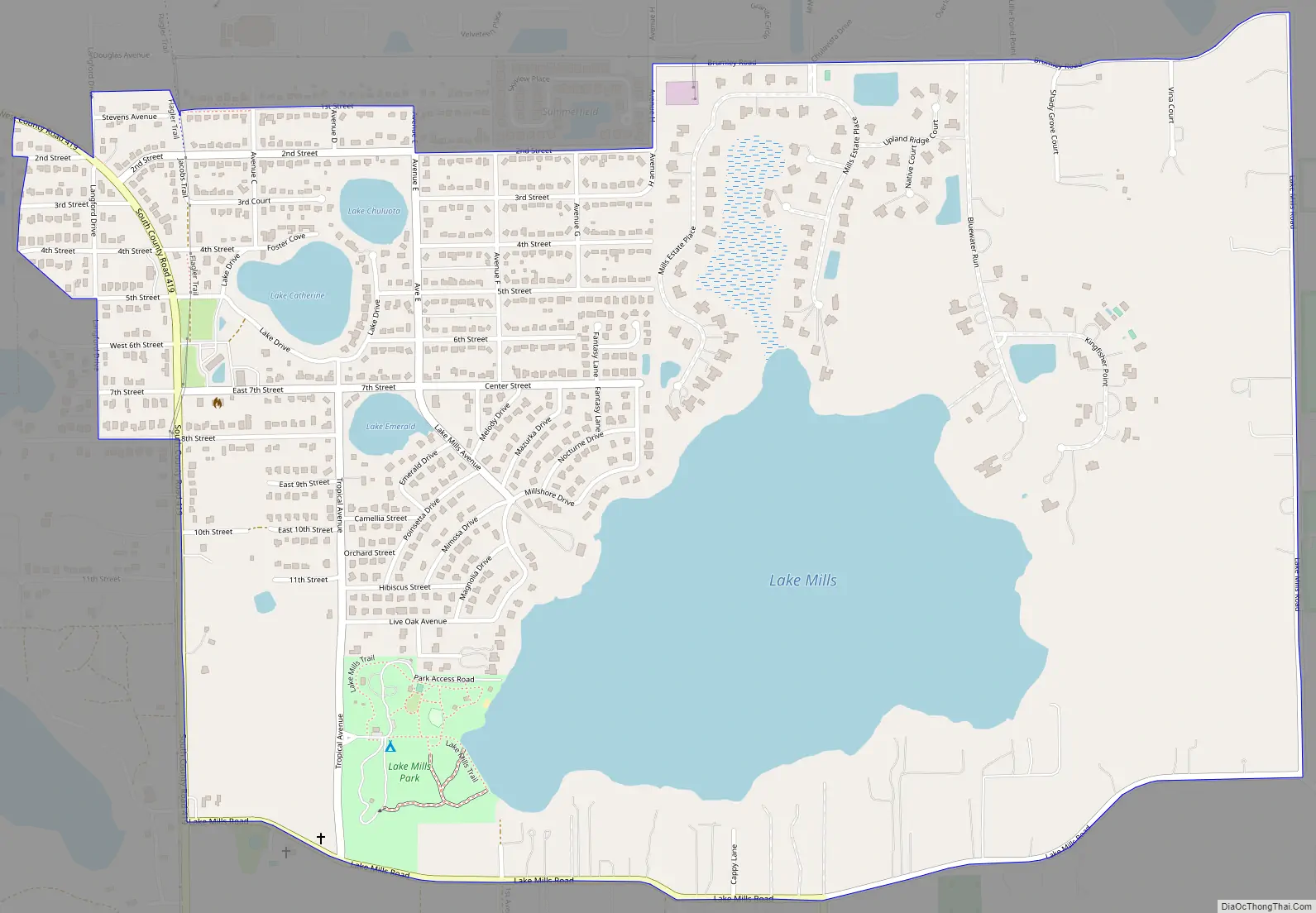
Online Interactive Map
Click on ![]() to view map in "full screen" mode.
to view map in "full screen" mode.
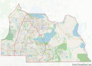
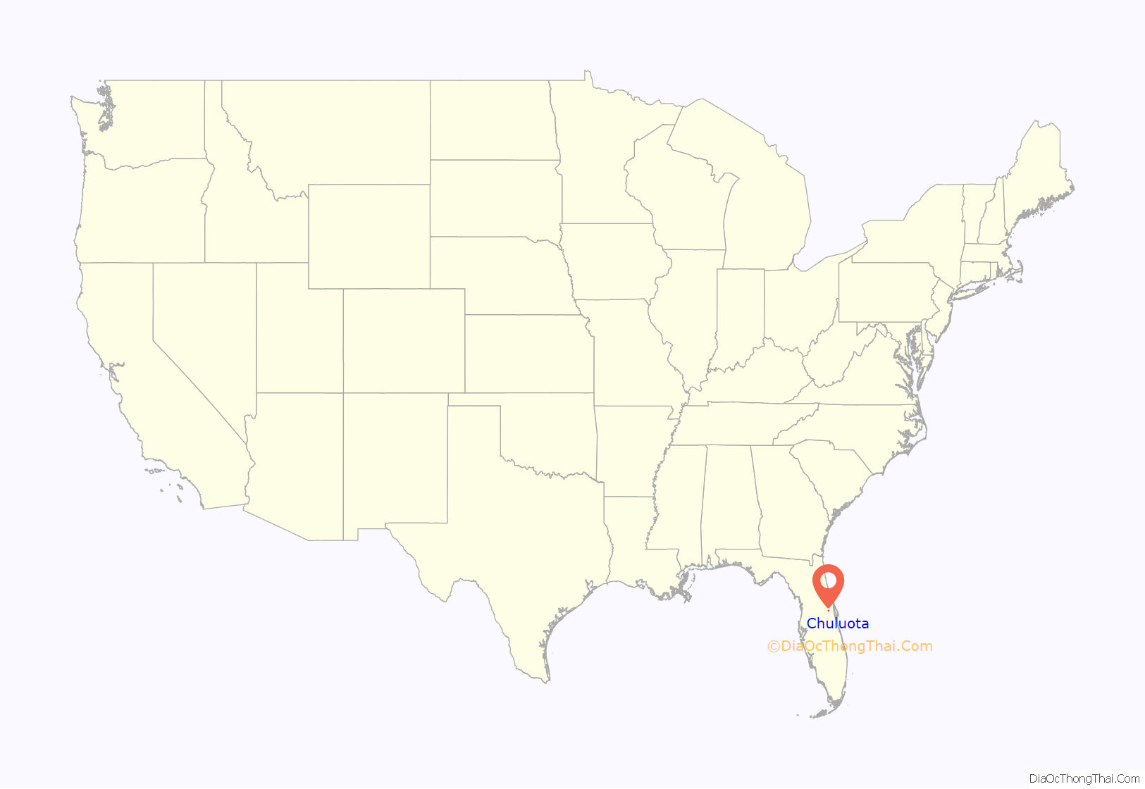
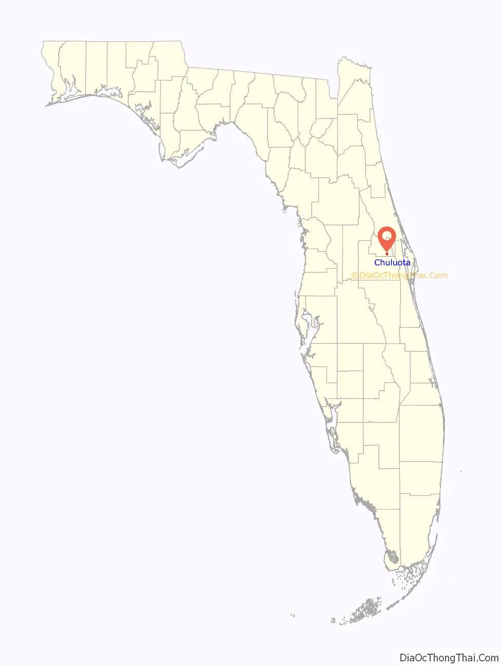
Chuluota location map. Where is Chuluota CDP?
History
Chuluota is pronounced “Choo-lee-oh-tah”, meaning “Isle of Pines”, “Pine Island”, or “Land of Lakes and Pines” or “beautiful place”, depending upon whom you ask. The pronunciation is a derivative of the Creek Indian word “Chuluoto”.
Chuluota was first settled soon after the Civil War. Some of the area’s first white residents were from North Carolina who came here by ox cart seeking refuge from the war, and undoubtedly encountered Seminole Indians when they arrived. They found an area teeming with fish, deer, and wild hogs. Orange groves, cattle ranches, a sawmill and turpentine production from the forests of pines were developed by settlers. A railroad provided transportation for passengers and goods.
Robert A. Mills, one of the early developers of the community, is credited with choosing the lyrical Indian name of Chuluota, which was possibly the name of the original Seminole village. Circa 1892, the name was continued by Henry Flagler, who created the Chuluota Land Company to sell land acquired by his Florida East Coast Railroad. Chuluota was originally laid out by Flagler and his Chuluota Land Company to compete with Orlando as the center of trade in the area. Following Flagler’s death, the land plats were mainly unused until the 1950s, when a post-war housing boom began to take place. The houses were generally small, and were used by working class Americans seeking affordable living.
The Chuluota School was established in 1898 as a wooden one-room schoolhouse. In 1925, a more modern elementary school was built and was closed in June 1948. This became the volunteer fire station; since 1996, it has served as the home of Veterans of Foreign Wars Post 10139 and is generally considered the community center.
Chuluota’s survival was challenged by several events. First, the Great Freeze of 1894-1895 virtually decimated the thriving citrus industry. Next, development was stalled by the bust of the Florida land boom in the 1920s and Flagler’s death, and was finally devastated by the Great Depression of the 1930s. Bit by bit, the population of the hamlet dwindled. By the 1960s, new developers made plans to revitalize the community.
It is estimated that one thousand new homes have been built in the area since 2003.
Chuluota Road Map
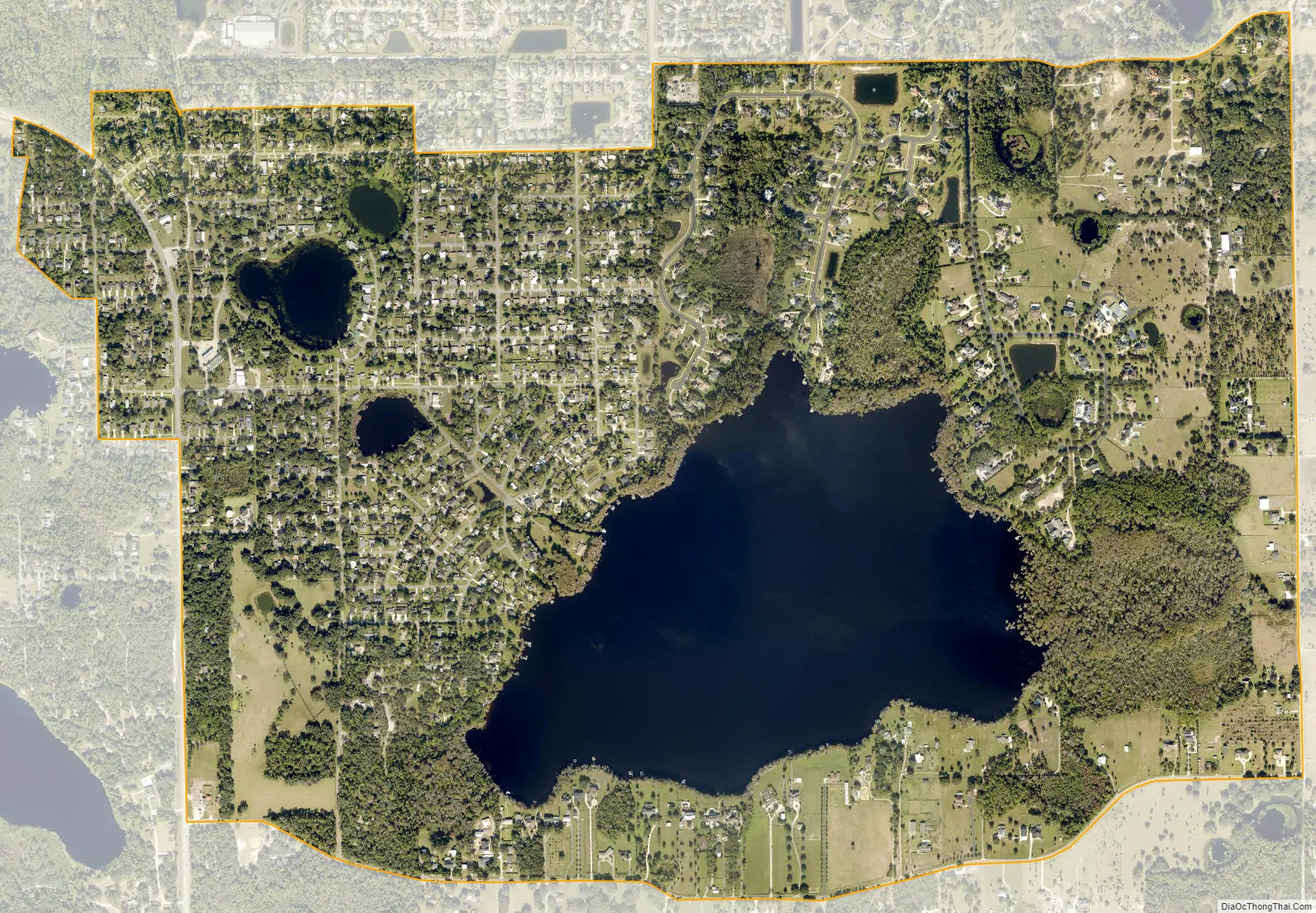
Chuluota city Satellite Map
Geography
According to the United States Census Bureau, the CDP has a total area of 5.7 km (2.2 mi), of which 4.7 km (1.8 mi) is land and 1.0 km (0.4 mi) (17.73%) is water.
See also
Map of Florida State and its subdivision:- Alachua
- Baker
- Bay
- Bradford
- Brevard
- Broward
- Calhoun
- Charlotte
- Citrus
- Clay
- Collier
- Columbia
- Desoto
- Dixie
- Duval
- Escambia
- Flagler
- Franklin
- Gadsden
- Gilchrist
- Glades
- Gulf
- Hamilton
- Hardee
- Hendry
- Hernando
- Highlands
- Hillsborough
- Holmes
- Indian River
- Jackson
- Jefferson
- Lafayette
- Lake
- Lee
- Leon
- Levy
- Liberty
- Madison
- Manatee
- Marion
- Martin
- Miami-Dade
- Monroe
- Nassau
- Okaloosa
- Okeechobee
- Orange
- Osceola
- Palm Beach
- Pasco
- Pinellas
- Polk
- Putnam
- Saint Johns
- Saint Lucie
- Santa Rosa
- Sarasota
- Seminole
- Sumter
- Suwannee
- Taylor
- Union
- Volusia
- Wakulla
- Walton
- Washington
- Alabama
- Alaska
- Arizona
- Arkansas
- California
- Colorado
- Connecticut
- Delaware
- District of Columbia
- Florida
- Georgia
- Hawaii
- Idaho
- Illinois
- Indiana
- Iowa
- Kansas
- Kentucky
- Louisiana
- Maine
- Maryland
- Massachusetts
- Michigan
- Minnesota
- Mississippi
- Missouri
- Montana
- Nebraska
- Nevada
- New Hampshire
- New Jersey
- New Mexico
- New York
- North Carolina
- North Dakota
- Ohio
- Oklahoma
- Oregon
- Pennsylvania
- Rhode Island
- South Carolina
- South Dakota
- Tennessee
- Texas
- Utah
- Vermont
- Virginia
- Washington
- West Virginia
- Wisconsin
- Wyoming