Cudjoe Key is a census-designated place and unincorporated community in Monroe County, Florida, United States, on an island of the same name in the lower Florida Keys. As of the 2020 census, the CDP had a population of 2,019, up from 1,763 in 2010.
| Name: | Cudjoe Key CDP |
|---|---|
| LSAD Code: | 57 |
| LSAD Description: | CDP (suffix) |
| State: | Florida |
| County: | Monroe County |
| Elevation: | 5 ft (2 m) |
| Total Area: | 10.45 sq mi (27.07 km²) |
| Land Area: | 5.17 sq mi (13.40 km²) |
| Water Area: | 5.28 sq mi (13.67 km²) |
| Total Population: | 2,019 |
| Population Density: | 390.22/sq mi (150.66/km²) |
| ZIP code: | 33042 |
| Area code: | 305 |
| FIPS code: | 1215862 |
| GNISfeature ID: | 1867131 |
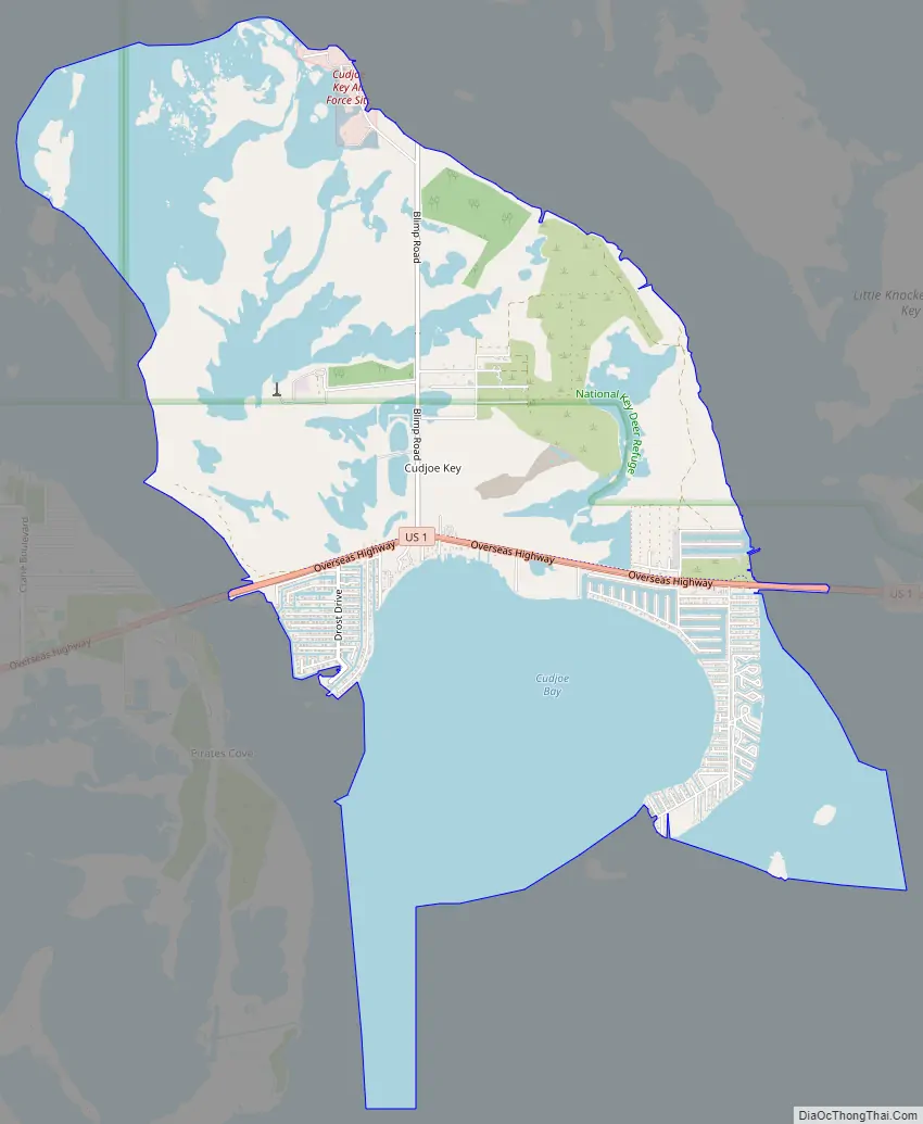
Online Interactive Map
Click on ![]() to view map in "full screen" mode.
to view map in "full screen" mode.
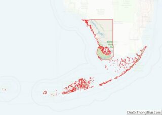
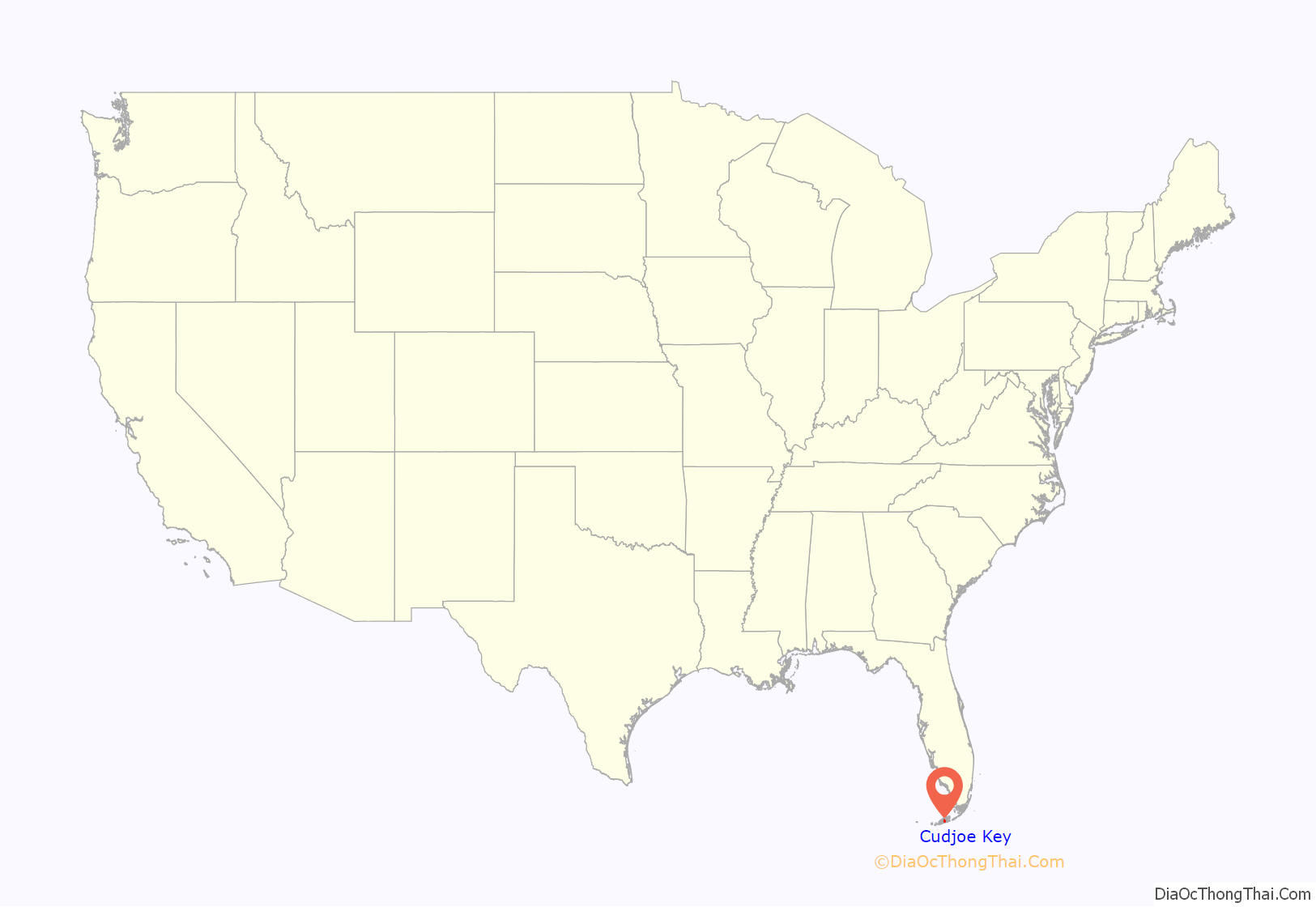
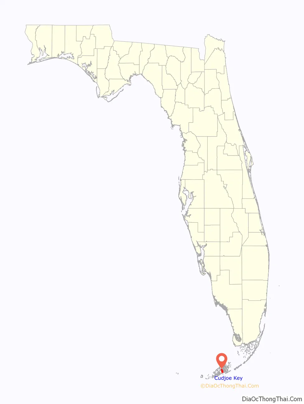
Cudjoe Key location map. Where is Cudjoe Key CDP?
History
Toponymy
The island was called “Littleton Island” in 1772. The name changed to Cudjoe’s by 1849, later shortened to Cudjoe. It may have been named for the Joewood or Cudjoe wood tree (Jacquinia keyensis) which grows on the island. John Viele notes that “Cudjoe” is an Akan name, and may have been the name of an escaped slave who lived on the island early in the 19th century.
20th century
The United States Army activated Cudjoe Key Air Force Station in 1959 to track missiles traveling through the Eglin Gulf Test Range. The Air Force took over operations the following year, and it subsequently became a detached installation of Homestead Joint Air Reserve Base.
21st century
The air force station flies a white radar aerostat, known locally as “Fat Albert”, which is used for drug interdiction missions by the Drug Enforcement Administration. On April 20, 2007, a Cessna 182 crashed after its left wing struck the tether anchoring “Fat Albert”. The aerostat is marked on air navigation charts inside a restricted area that contains the warning, “Caution: Unmarked balloon on cable to 14,000 [feet].”
On September 10, 2017, Cudjoe Key suffered a direct hit from Hurricane Irma which made landfall as a Category 4 hurricane.
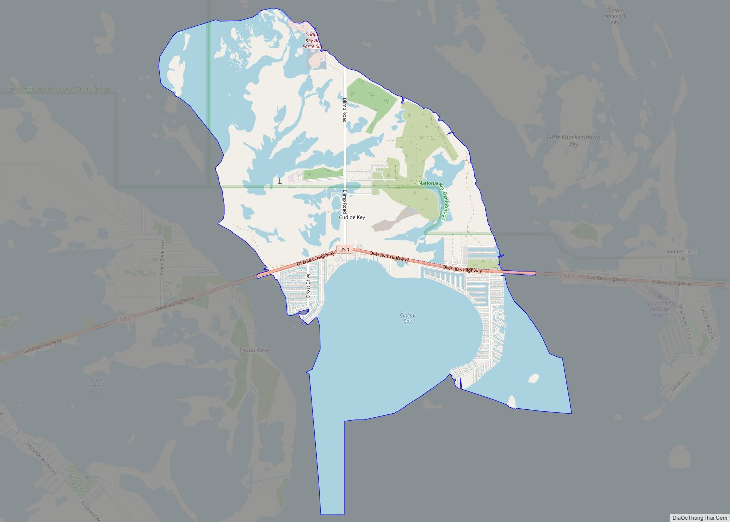
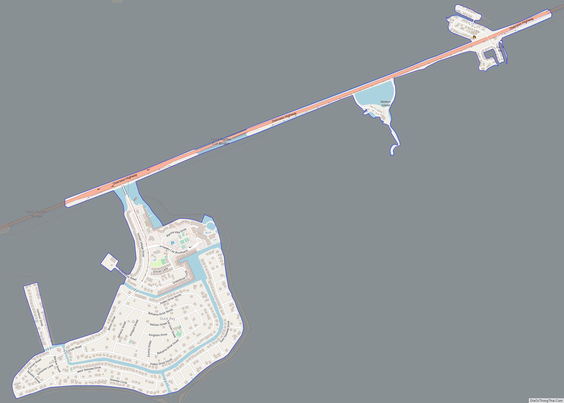
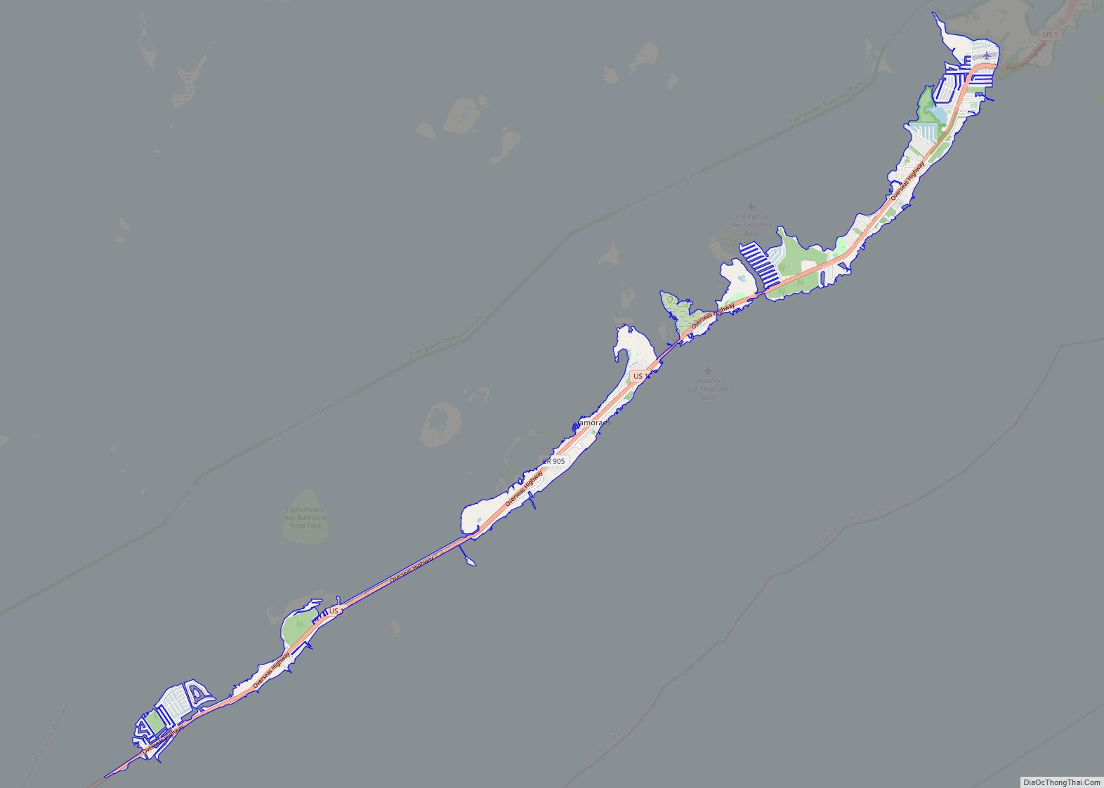
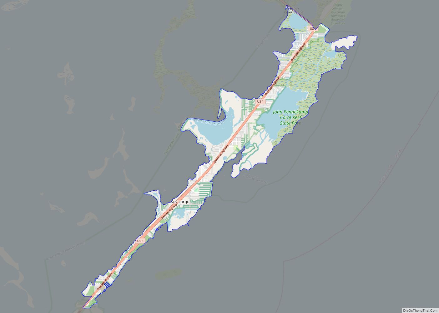
Cudjoe Key Road Map
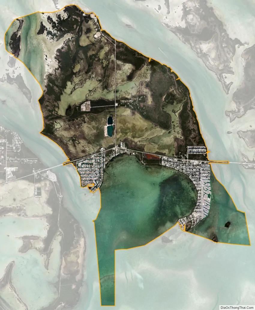
Cudjoe Key city Satellite Map
Geography
Cudjoe Key is located in the Florida Keys at 24°39′51″N 81°28′56″W / 24.66417°N 81.48222°W / 24.66417; -81.48222 (24.664298, -81.482339). U.S. 1 (or the Overseas Highway) crosses the key at about mile markers 20.5 – 23, between Summerland and Sugarloaf Keys. The highway leads west-southwest 20 miles (32 km) to Key West, east 30 miles (48 km) to Marathon, and a total of 136 miles (219 km) northeast to Miami.
According to the United States Census Bureau, the CDP has a total area of 10.5 square miles (27 km), of which 5.2 square miles (13 km) are land and 5.3 square miles (14 km), or 50.5%, are water. The water area includes Cudjoe Bay to the south of the island, a portion of Kemp Channel to the east, and tidal water to the northwest between Cudjoe Key and small islands known as the Rattlesnake Lumps.
See also
Map of Florida State and its subdivision:- Alachua
- Baker
- Bay
- Bradford
- Brevard
- Broward
- Calhoun
- Charlotte
- Citrus
- Clay
- Collier
- Columbia
- Desoto
- Dixie
- Duval
- Escambia
- Flagler
- Franklin
- Gadsden
- Gilchrist
- Glades
- Gulf
- Hamilton
- Hardee
- Hendry
- Hernando
- Highlands
- Hillsborough
- Holmes
- Indian River
- Jackson
- Jefferson
- Lafayette
- Lake
- Lee
- Leon
- Levy
- Liberty
- Madison
- Manatee
- Marion
- Martin
- Miami-Dade
- Monroe
- Nassau
- Okaloosa
- Okeechobee
- Orange
- Osceola
- Palm Beach
- Pasco
- Pinellas
- Polk
- Putnam
- Saint Johns
- Saint Lucie
- Santa Rosa
- Sarasota
- Seminole
- Sumter
- Suwannee
- Taylor
- Union
- Volusia
- Wakulla
- Walton
- Washington
- Alabama
- Alaska
- Arizona
- Arkansas
- California
- Colorado
- Connecticut
- Delaware
- District of Columbia
- Florida
- Georgia
- Hawaii
- Idaho
- Illinois
- Indiana
- Iowa
- Kansas
- Kentucky
- Louisiana
- Maine
- Maryland
- Massachusetts
- Michigan
- Minnesota
- Mississippi
- Missouri
- Montana
- Nebraska
- Nevada
- New Hampshire
- New Jersey
- New Mexico
- New York
- North Carolina
- North Dakota
- Ohio
- Oklahoma
- Oregon
- Pennsylvania
- Rhode Island
- South Carolina
- South Dakota
- Tennessee
- Texas
- Utah
- Vermont
- Virginia
- Washington
- West Virginia
- Wisconsin
- Wyoming