Eatonville is a town in Orange County, Florida, United States, six miles north of Orlando. It is part of Greater Orlando. Incorporated on August 15, 1887, it was one of the first self-governing all-black municipalities in the United States. The Eatonville Historic District and Moseley House Museum are in Eatonville. Author Zora Neale Hurston grew up in Eatonville and the area features in many of her stories.
The Robert Hungerford Normal and Industrial School was founded in 1897 to provide education for blacks in grades 6-12 and taught children for over 100 years.
In 1990 the town founded the Zora Neale Hurston Museum of Fine Arts. Every winter the town stages the Zora Neale Hurston Festival of the Arts and Humanities. A library named for her opened in January 2004.
The population was 2,159 at the 2010 census. The vast majority are African American. Eatonville has no gas station, supermarket or drug store; only a Family Dollar. With a median household income of $27,000, the town is struggling to survive.
Artist Jules Andre Smith has done a series of paintings depicting life in Eatonville during the 1930s and 1940s. Twelve of these works are at the Maitland Art Center in the adjacent town of Maitland.
Eatonville is home to WESH and WKCF, two television stations serving the Orlando television market.
| Name: | Eatonville town |
|---|---|
| LSAD Code: | 43 |
| LSAD Description: | town (suffix) |
| State: | Florida |
| County: | Orange County |
| Elevation: | 95 ft (29 m) |
| Total Area: | 1.16 sq mi (3.00 km²) |
| Land Area: | 0.98 sq mi (2.55 km²) |
| Water Area: | 0.17 sq mi (0.45 km²) |
| Total Population: | 2,349 |
| Population Density: | 2,384.77/sq mi (920.65/km²) |
| ZIP code: | 32751 |
| Area code: | 407, 689 |
| FIPS code: | 1219650 |
| GNISfeature ID: | 0282054 |
| Website: | www.townofeatonville.org |
Online Interactive Map
Click on ![]() to view map in "full screen" mode.
to view map in "full screen" mode.
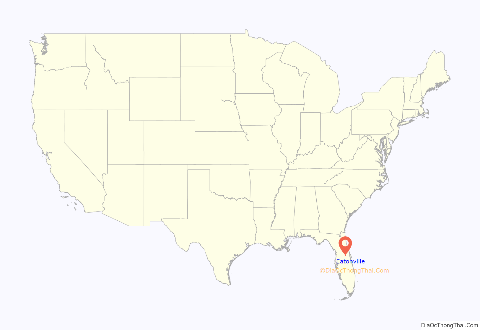
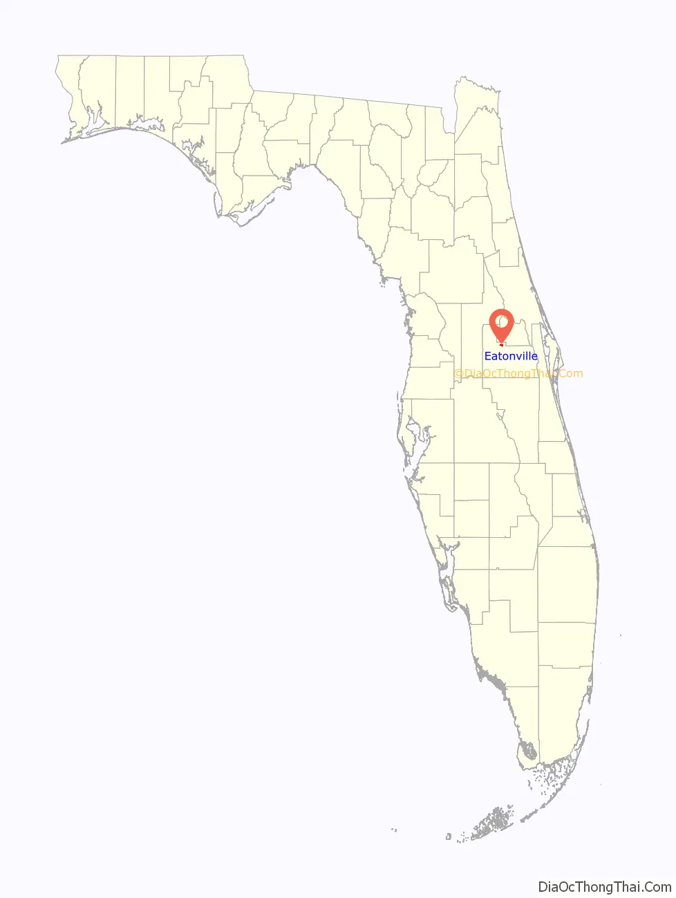
Eatonville location map. Where is Eatonville town?
History
Ten years after the Emancipation Proclamation, former slaves migrated to rural central Florida, finding work in the citrus groves. J.E. Clark and several friends attempted to purchase a block of land to establish a “colony for colored people, but so great was the prejudice then existing against the Negro that no one would sell them land for such a purpose” according to Clark. Lewis Lawrence, originally from Utica, New York, agreed to help them in 1881. Lawrence convinced Captain Josiah Eaton, a neighbor and friend, to sell him 22 acres, which Lawrence subdivided. Upon each lot he had a small house constructed and instructed an agent to sell them. An article in the Tallahassee Weekly Floridian newspaper titled, “A Negro Colony in Florida” stated,
In 1884 the Orange County Reporter wrote about the “colored village at Maitland, sometimes known as Lawrence, the name of its worthy founder”. Mr Lawrence requested that the settlement use the name Eatonville. The following year Maitland incorporated using votes from blacks and at least one black man was elected as a town officer. A year after incorporation, there were “discussions of separation as a peaceful, progressive-minded, mutually beneficial solution to the so-called ‘race problem’.” While sources seem to disagree on the exact date and year of the town’s incorporation, the town’s official site provides a detailed account of the process and the dates.
Jim Crow laws enforced segregation, violence and racial discrimination in the Southern United States in the late 19th century. The Eatonville Speaker newspaper printed an invitation in 1889:
“Colored People of the United States! Solve the Great Race Problem by Securing a Home in Eatonville, Florida, a Negro City Governed by Negroes.” The article describes Eatonville as a “thriving community of 200-300 people — all colored, and NOT A WHITE FAMILY in the whole city.” The newspaper also recounts a near-lynching in Sanford, nineteen miles away.
A Post Office opened at Eatonville in 1889, and closed in 1918.
Hurston’s novel Their Eyes Were Watching God is set in the town and nearby communities, many of which have disappeared with the expansion of Greater Orlando.
Before the days of racial integration, Club Eaton was a popular stop on the Chitlin’ Circuit, hosting performers ranging from B.B. King to Aretha Franklin, the young local Ray Charles, Sam Cooke, The Platters, Duke Ellington, Ella Fitzgerald, Billie Holiday and James Brown.
Mayors
- Columbus H. Boger Sr. ~ 1887 – 1888
- Joseph E. Clark ~ 1889 – 1890
- John Hurston ~ 1897 – 1899
- Joseph E. Clark ~ 1900 – 1912
- John Hurston ~ 1912 – 1916
- Matthew B. Brazell ~ 1916 – 1920
- Samuel M. Moseley ~ 1920 – 1922
- Hyrum N. Lester ~ 1922 – 1924
- Augustus Johnson ~ 1930? – ?
- Columbus H. Crooms ~ 1938 – 1963
- Nathaniel Vereen Sr. ~ 1963 – 1980
- Abraham Gordon ~ 1980 – 1986
- Nathaniel Vereen Sr. ~ 1987 – 1989
- Ada Sims ~ 1990 – 1992
- Harry Bing ~ 1992 – 1994
- Anthony Grant ~ 1994 – 2009
- Bruce Mount ~ 2009 – 2015
- Anthony Grant ~ 2015 – removal for voter fraud
- Eddie Cole ~ 2016 – 2022
- Angie Gardner ~ 2022 – present
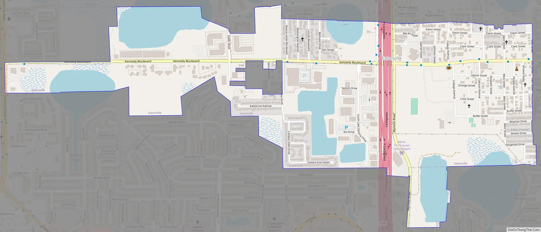
Eatonville Road Map
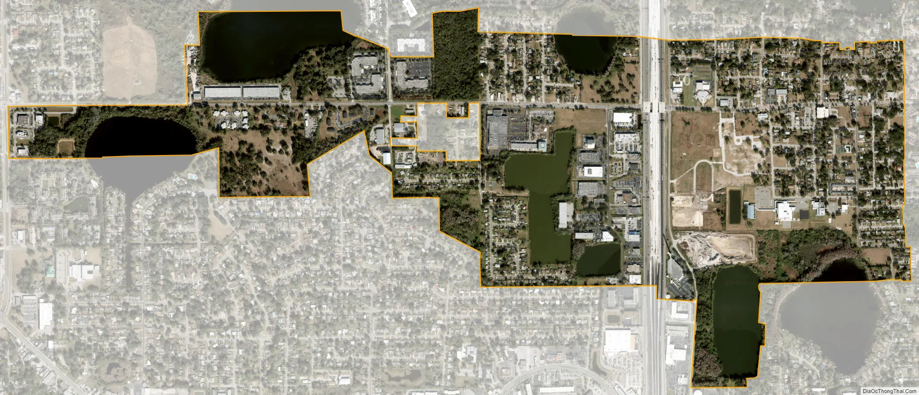
Eatonville city Satellite Map
Geography
Eatonville is located at 28°37′7″N 81°23′0″W / 28.61861°N 81.38333°W / 28.61861; -81.38333 (28.618727, –81.383440).
According to the United States Census Bureau, the town has a total area of 1.1 square miles (2.8 km), of which 1.0 square mile (2.6 km) is land and 0.1 square miles (0.26 km) (9.17%) is water.
See also
Map of Florida State and its subdivision:- Alachua
- Baker
- Bay
- Bradford
- Brevard
- Broward
- Calhoun
- Charlotte
- Citrus
- Clay
- Collier
- Columbia
- Desoto
- Dixie
- Duval
- Escambia
- Flagler
- Franklin
- Gadsden
- Gilchrist
- Glades
- Gulf
- Hamilton
- Hardee
- Hendry
- Hernando
- Highlands
- Hillsborough
- Holmes
- Indian River
- Jackson
- Jefferson
- Lafayette
- Lake
- Lee
- Leon
- Levy
- Liberty
- Madison
- Manatee
- Marion
- Martin
- Miami-Dade
- Monroe
- Nassau
- Okaloosa
- Okeechobee
- Orange
- Osceola
- Palm Beach
- Pasco
- Pinellas
- Polk
- Putnam
- Saint Johns
- Saint Lucie
- Santa Rosa
- Sarasota
- Seminole
- Sumter
- Suwannee
- Taylor
- Union
- Volusia
- Wakulla
- Walton
- Washington
- Alabama
- Alaska
- Arizona
- Arkansas
- California
- Colorado
- Connecticut
- Delaware
- District of Columbia
- Florida
- Georgia
- Hawaii
- Idaho
- Illinois
- Indiana
- Iowa
- Kansas
- Kentucky
- Louisiana
- Maine
- Maryland
- Massachusetts
- Michigan
- Minnesota
- Mississippi
- Missouri
- Montana
- Nebraska
- Nevada
- New Hampshire
- New Jersey
- New Mexico
- New York
- North Carolina
- North Dakota
- Ohio
- Oklahoma
- Oregon
- Pennsylvania
- Rhode Island
- South Carolina
- South Dakota
- Tennessee
- Texas
- Utah
- Vermont
- Virginia
- Washington
- West Virginia
- Wisconsin
- Wyoming