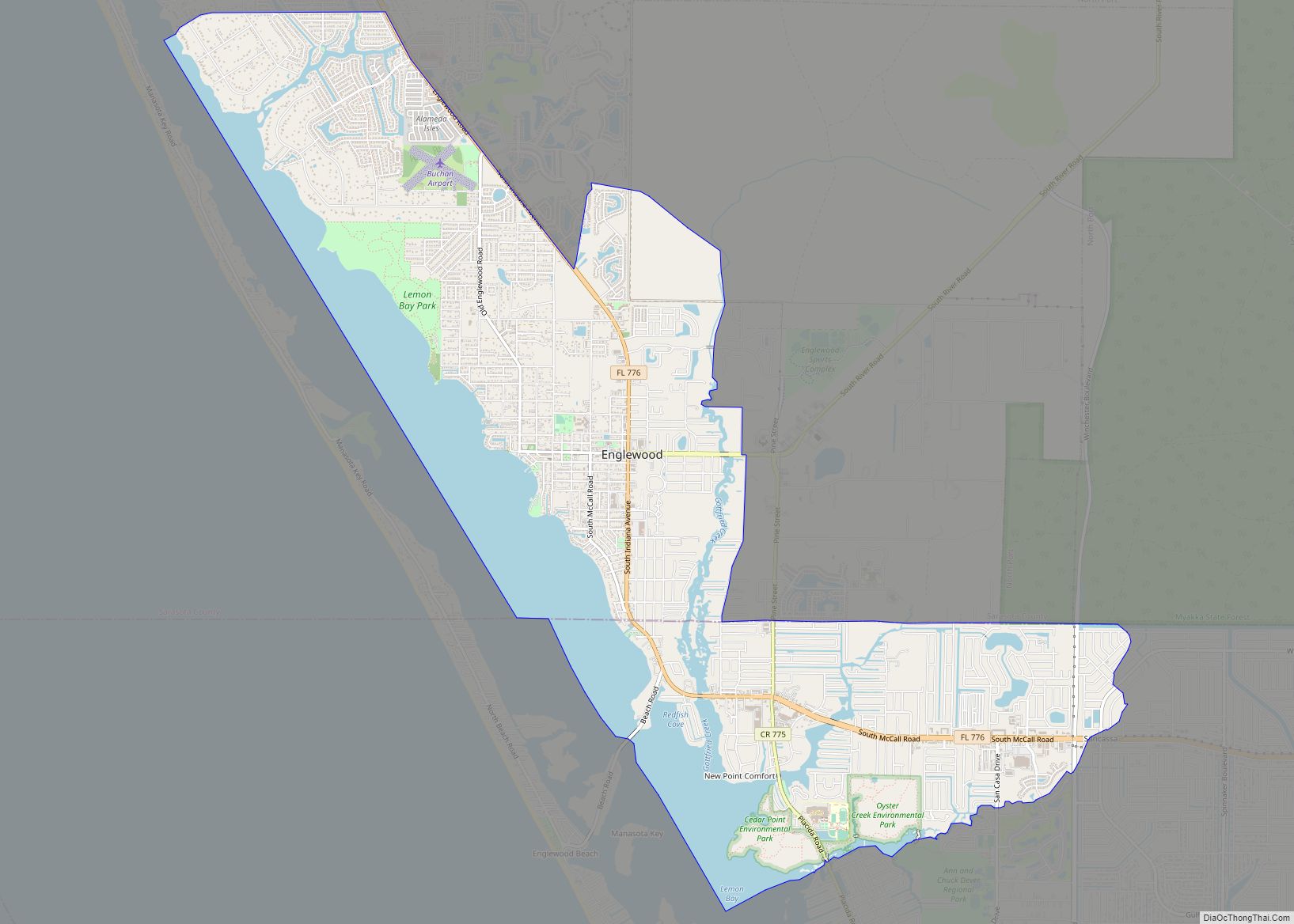
Englewood is a census-designated place (CDP) in Charlotte and Sarasota counties in the U.S. state of Florida. As of the 2020 census, it had a population of 20,800. It is part of the Sarasota-Bradenton-Punta Gorda Combined Statistical Area.
| Name: | Englewood CDP |
|---|---|
| LSAD Code: | 57 |
| LSAD Description: | CDP (suffix) |
| State: | Florida |
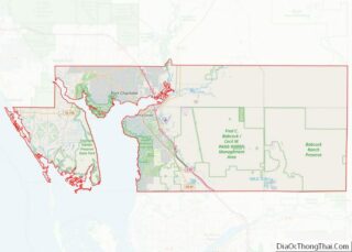
| County: | Charlotte County, Sarasota County |
| Elevation: | 10 ft (3 m) |
| Total Area: | 22.32 sq mi (57.82 km²) |
| Land Area: | 18.82 sq mi (48.75 km²) |
| Water Area: | 3.50 sq mi (9.07 km²) |
| Total Population: | 20,800 |
| Population Density: | 1,105.03/sq mi (426.65/km²) |
| Area code: | 941 |
| FIPS code: | 1220825 |
| GNISfeature ID: | 0282217 |
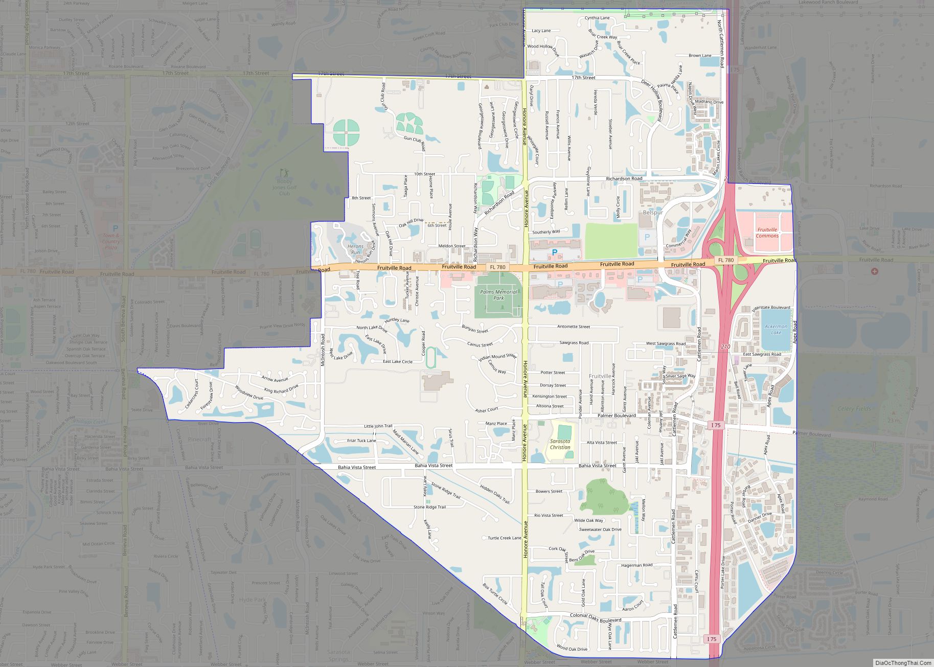
Online Interactive Map
Click on ![]() to view map in "full screen" mode.
to view map in "full screen" mode.
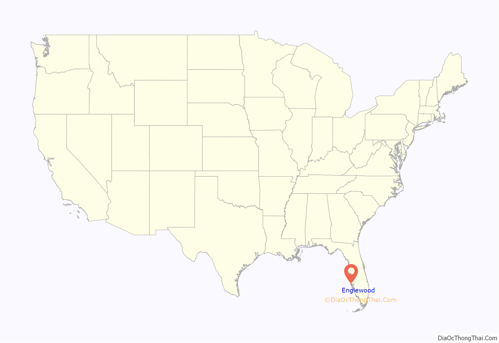
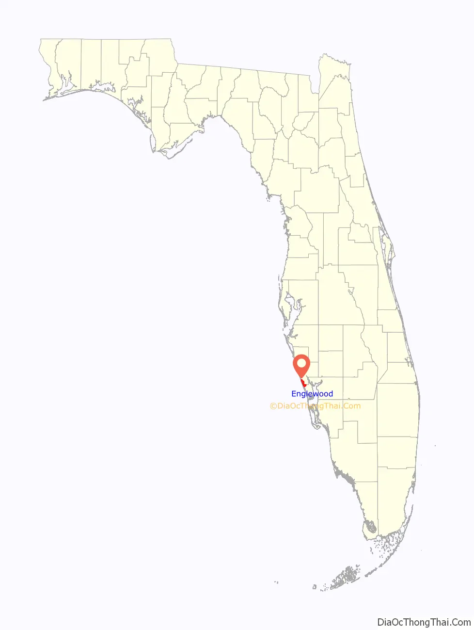
Englewood location map. Where is Englewood CDP?
History
Archeological digs in what is now Englewood discovered ceramics belonging to both the Weeden Island culture and Safety Harbor culture.
One of the earliest white settlers in the area was a man named William Goff, who arrived by schooner from Tampa in 1878. He settled a piece of land just a few miles south of where Englewood would be platted. On July 3, 1895, a post office was established in the area as well. The Great Freeze of 1894 and 1895, along with a bad freeze in 1896, led to the decimation of many local orange plants. For this reason, by 1897, a Manatee County General Directory listed fish as the chief product for Englewood.
The original plat of Englewood was recorded and filed on August 17, 1896. The home lots were 1-acre (0.40 ha), and the grove lots—likely intended for citrus—were 10 acres (4.0 ha). The area was developed by three brothers, and the name Englewood came from their hometown, Englewood, Chicago. Some streets, such as Dearborn, Harvard, and Yale, are named after those in Chicago.
In 1898, the Englewood Inn was opened, a relatively large hotel with 16 rooms. The hotel serviced visitors from up north until it burned down in 1909.
In 1921, both Sarasota and Charlotte County were created. Englewood, which was initially more on the modern Sarasota side of the county line, would eventually expand to its current size that now resides in both counties.
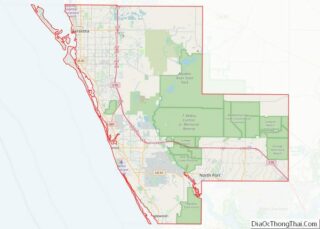
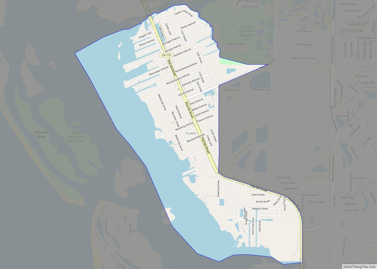
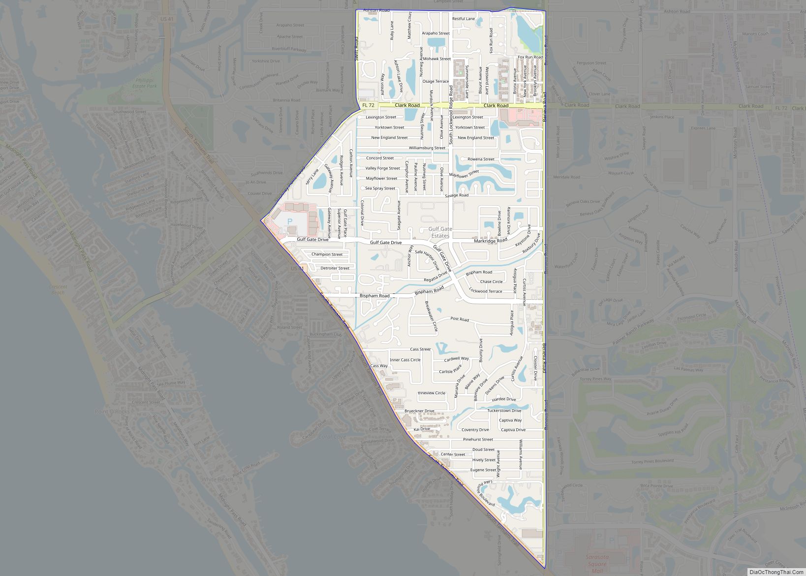
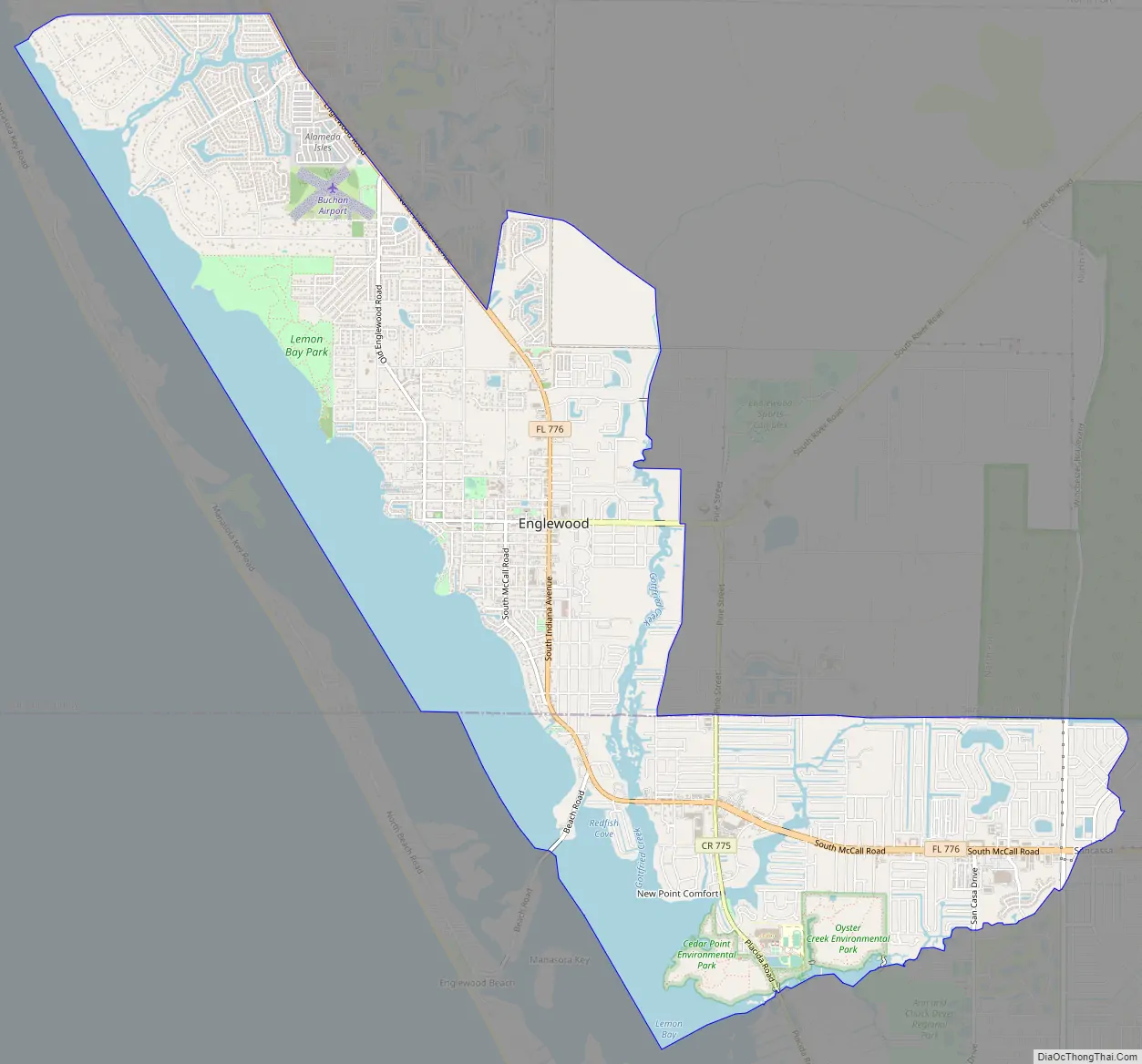
Englewood Road Map
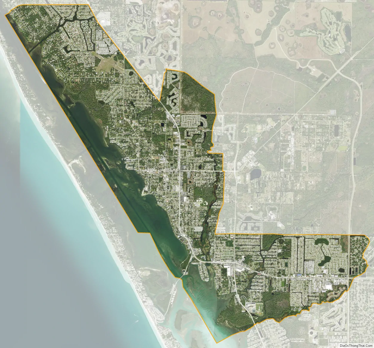
Englewood city Satellite Map
Geography
According to the United States Census Bureau, the CDP has a total area of 13.1 square miles (33.8 km), of which 9.8 square miles (25.4 km) is land and 3.3 square miles (8.5 km), or 24.99%, is water.
See also
Map of Florida State and its subdivision:- Alachua
- Baker
- Bay
- Bradford
- Brevard
- Broward
- Calhoun
- Charlotte
- Citrus
- Clay
- Collier
- Columbia
- Desoto
- Dixie
- Duval
- Escambia
- Flagler
- Franklin
- Gadsden
- Gilchrist
- Glades
- Gulf
- Hamilton
- Hardee
- Hendry
- Hernando
- Highlands
- Hillsborough
- Holmes
- Indian River
- Jackson
- Jefferson
- Lafayette
- Lake
- Lee
- Leon
- Levy
- Liberty
- Madison
- Manatee
- Marion
- Martin
- Miami-Dade
- Monroe
- Nassau
- Okaloosa
- Okeechobee
- Orange
- Osceola
- Palm Beach
- Pasco
- Pinellas
- Polk
- Putnam
- Saint Johns
- Saint Lucie
- Santa Rosa
- Sarasota
- Seminole
- Sumter
- Suwannee
- Taylor
- Union
- Volusia
- Wakulla
- Walton
- Washington
- Alabama
- Alaska
- Arizona
- Arkansas
- California
- Colorado
- Connecticut
- Delaware
- District of Columbia
- Florida
- Georgia
- Hawaii
- Idaho
- Illinois
- Indiana
- Iowa
- Kansas
- Kentucky
- Louisiana
- Maine
- Maryland
- Massachusetts
- Michigan
- Minnesota
- Mississippi
- Missouri
- Montana
- Nebraska
- Nevada
- New Hampshire
- New Jersey
- New Mexico
- New York
- North Carolina
- North Dakota
- Ohio
- Oklahoma
- Oregon
- Pennsylvania
- Rhode Island
- South Carolina
- South Dakota
- Tennessee
- Texas
- Utah
- Vermont
- Virginia
- Washington
- West Virginia
- Wisconsin
- Wyoming