Fort White is a town in Columbia County, Florida, United States, named after a military fort built in the 1830s. It is the closest town to Ichetucknee Springs State Park. Fort White High School and the Fort White Public School Historic District are located within the town’s borders. The original school building was constructed in 1915.
As of the 2020 census, the population of Fort White was 618.
| Name: | Fort White town |
|---|---|
| LSAD Code: | 43 |
| LSAD Description: | town (suffix) |
| State: | Florida |
| County: | Columbia County |
| Elevation: | 69 ft (21 m) |
| Total Area: | 2.41 sq mi (6.25 km²) |
| Land Area: | 2.41 sq mi (6.25 km²) |
| Water Area: | 0.00 sq mi (0.00 km²) |
| Total Population: | 618 |
| Population Density: | 256.01/sq mi (98.86/km²) |
| ZIP code: | 32038 |
| Area code: | 386 |
| FIPS code: | 1224500 |
| GNISfeature ID: | 0282713 |
| Website: | fortwhitefl.com |
Online Interactive Map
Click on ![]() to view map in "full screen" mode.
to view map in "full screen" mode.
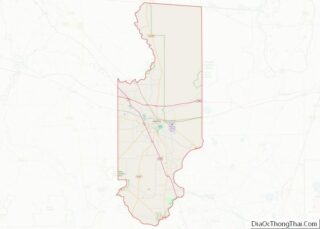
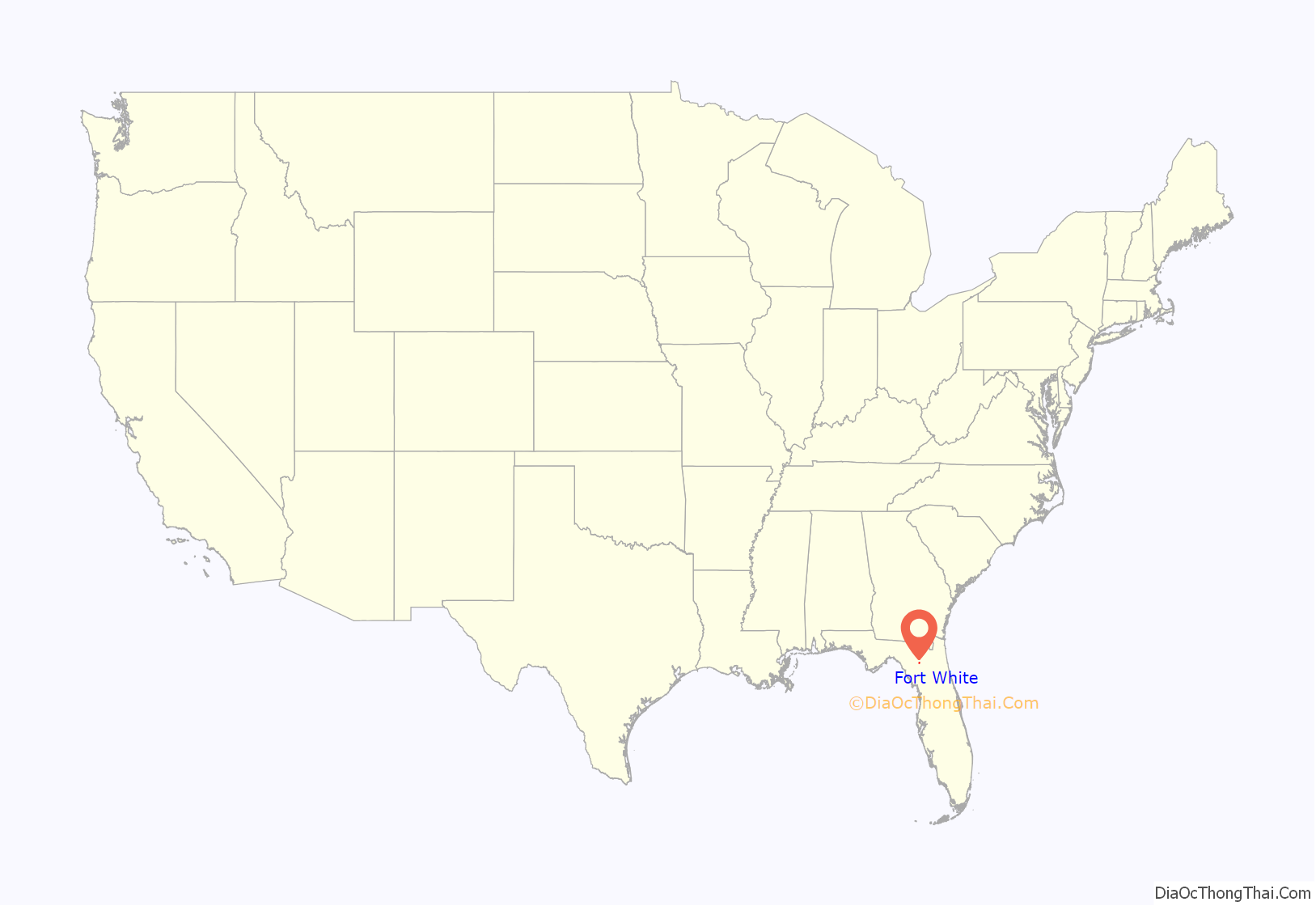
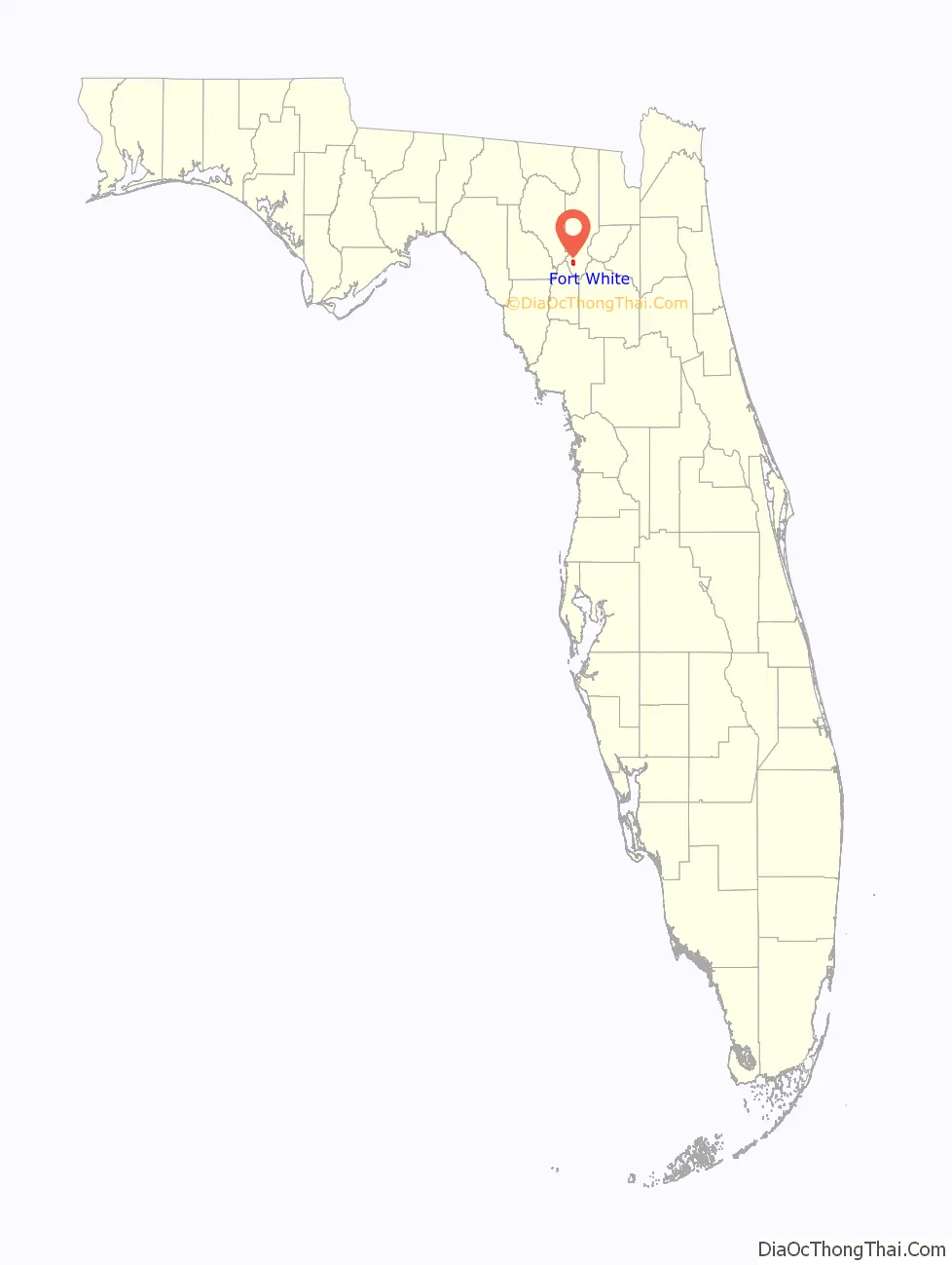
Fort White location map. Where is Fort White town?
History
Fort White was originally constructed as a military fort during the Second Seminole War in 1836 to protect the Cow Creek settlement. Supplies were brought in by steamboat on the Santa Fe River and distributed to other area forts. Due to sickness, flooding along the river and rumors of the railroad coming to the area, the settlement was moved 4 miles (6 km) east to its present location.
The town was incorporated in 1884 still named after the military fort Fort White and grew steadily following the arrival of the railroad in 1888. Phosphate mining, turpentine and agriculture (cotton and oranges) were the foundation of the economy, and the population grew to nearly 2,000. The boom turned to bust as severe freezes in the winters of 1896 and 1897 destroyed the local citrus industry. By 1910, the largest phosphate deposits were depleted and mining ceased. The boll weevil ended cotton farming before World War I, and the population shrank to a few hundred people, primarily farmers, ranchers and foresters. The town’s population in 1979 was 365.
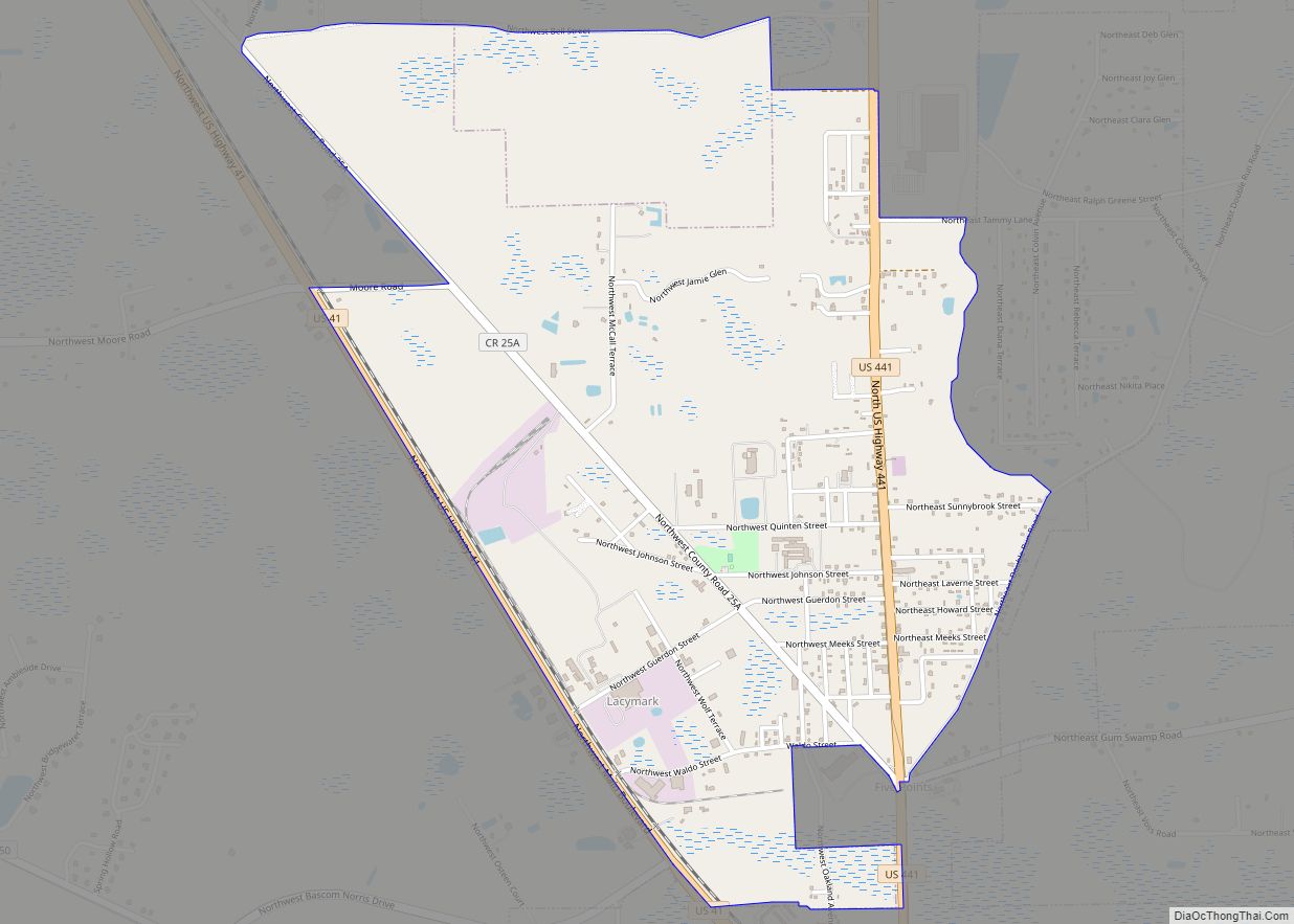
Fort White Road Map
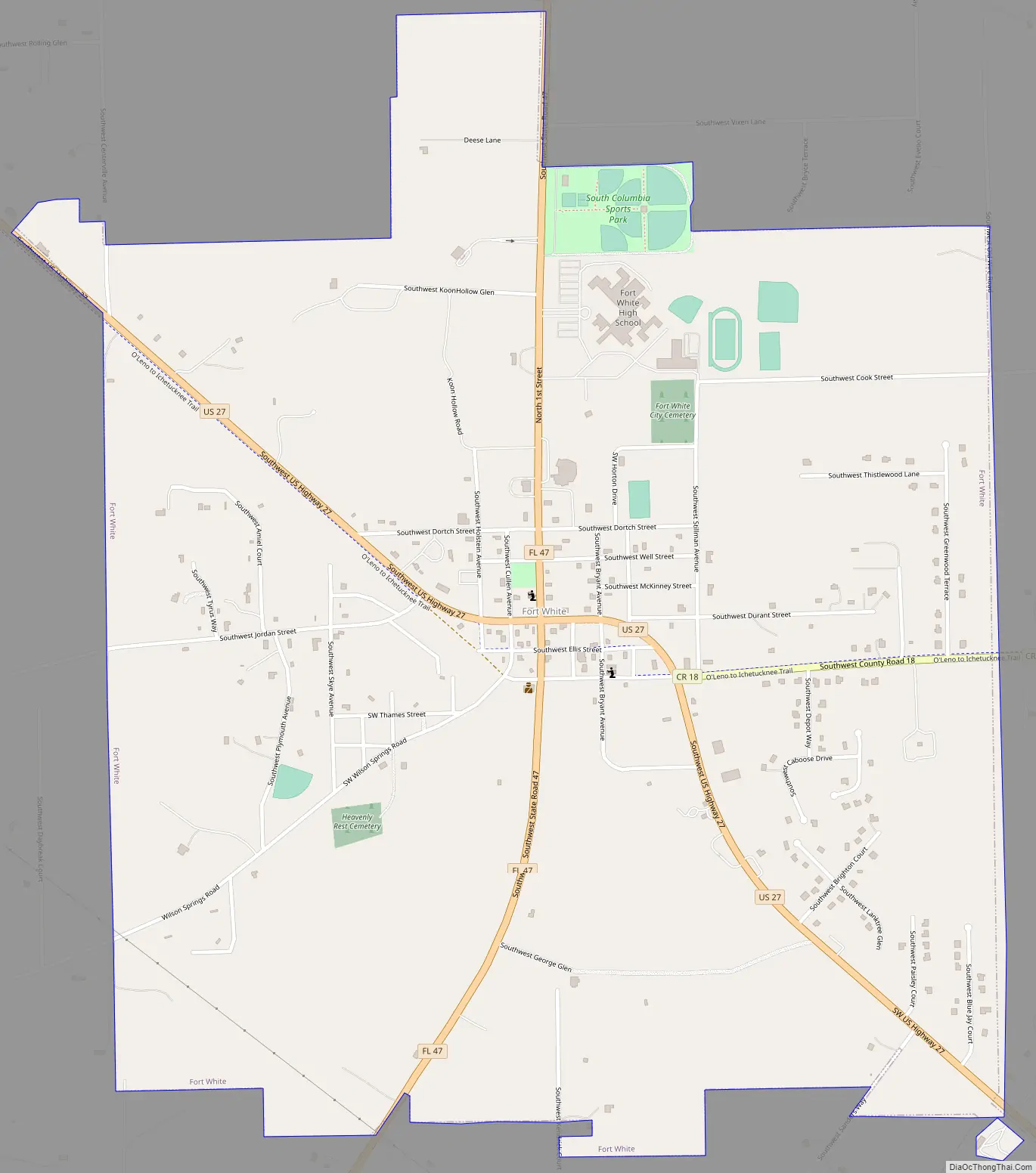
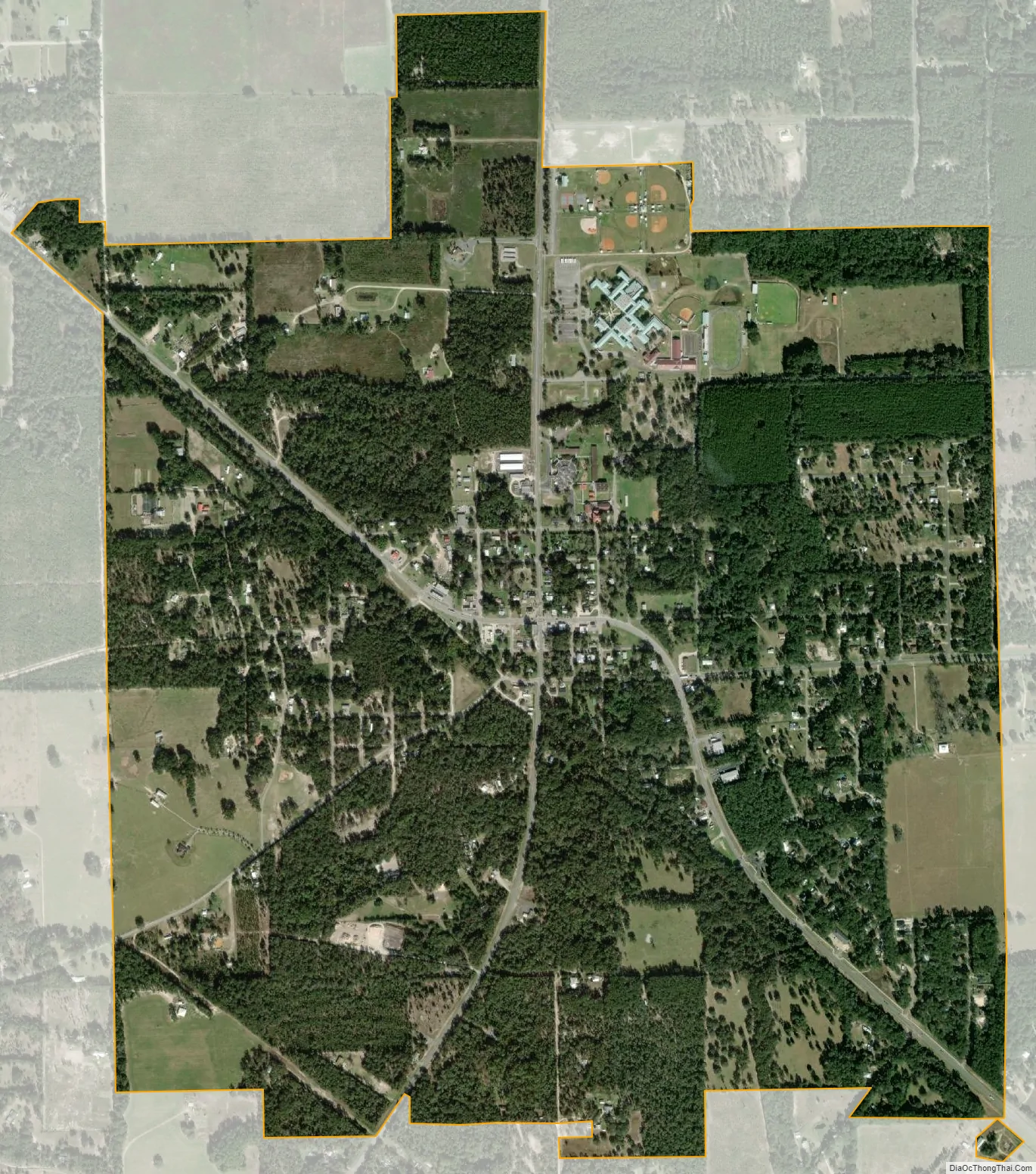
Fort White city Satellite Map
Geography
Fort White is located in southern Columbia County at 29°55′23″N 82°42′51″W / 29.92306°N 82.71417°W / 29.92306; -82.71417 (29.923001, –82.714299), at the intersection of U.S. Route 27 and Florida State Road 47. SR 47 leads north 20 miles (32 km) to Lake City, the Columbia County seat, and south 23 miles (37 km) to Trenton. US 27 leads southeast 16 miles (26 km) to Alachua and Interstate 75, and west 13 miles (21 km) to Branford.
According to the United States Census Bureau, Fort White has a total area of 2.4 square miles (6.2 km), all land. Most of the land surrounding the town is family farms and/or forests.
See also
Map of Florida State and its subdivision:- Alachua
- Baker
- Bay
- Bradford
- Brevard
- Broward
- Calhoun
- Charlotte
- Citrus
- Clay
- Collier
- Columbia
- Desoto
- Dixie
- Duval
- Escambia
- Flagler
- Franklin
- Gadsden
- Gilchrist
- Glades
- Gulf
- Hamilton
- Hardee
- Hendry
- Hernando
- Highlands
- Hillsborough
- Holmes
- Indian River
- Jackson
- Jefferson
- Lafayette
- Lake
- Lee
- Leon
- Levy
- Liberty
- Madison
- Manatee
- Marion
- Martin
- Miami-Dade
- Monroe
- Nassau
- Okaloosa
- Okeechobee
- Orange
- Osceola
- Palm Beach
- Pasco
- Pinellas
- Polk
- Putnam
- Saint Johns
- Saint Lucie
- Santa Rosa
- Sarasota
- Seminole
- Sumter
- Suwannee
- Taylor
- Union
- Volusia
- Wakulla
- Walton
- Washington
- Alabama
- Alaska
- Arizona
- Arkansas
- California
- Colorado
- Connecticut
- Delaware
- District of Columbia
- Florida
- Georgia
- Hawaii
- Idaho
- Illinois
- Indiana
- Iowa
- Kansas
- Kentucky
- Louisiana
- Maine
- Maryland
- Massachusetts
- Michigan
- Minnesota
- Mississippi
- Missouri
- Montana
- Nebraska
- Nevada
- New Hampshire
- New Jersey
- New Mexico
- New York
- North Carolina
- North Dakota
- Ohio
- Oklahoma
- Oregon
- Pennsylvania
- Rhode Island
- South Carolina
- South Dakota
- Tennessee
- Texas
- Utah
- Vermont
- Virginia
- Washington
- West Virginia
- Wisconsin
- Wyoming