Freeport is a city in Walton County, Florida, United States. As of the 2010 census, the population recorded by the U.S. Census Bureau was 1,787. The 2018 population estimate was 2,472.
| Name: | Freeport city |
|---|---|
| LSAD Code: | 25 |
| LSAD Description: | city (suffix) |
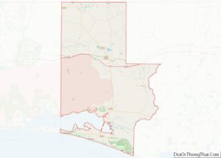
| State: | Florida |
| County: | Walton County |
| Elevation: | 33 ft (10 m) |
| Total Area: | 19.00 sq mi (49.21 km²) |
| Land Area: | 18.94 sq mi (49.06 km²) |
| Water Area: | 0.06 sq mi (0.15 km²) |
| Total Population: | 5,861 |
| Population Density: | 309.39/sq mi (119.46/km²) |
| ZIP code: | 32439 |
| Area code: | 850, 448 |
| FIPS code: | 1224825 |
| GNISfeature ID: | 0282806 |
| Website: | www.freeportflorida.gov |
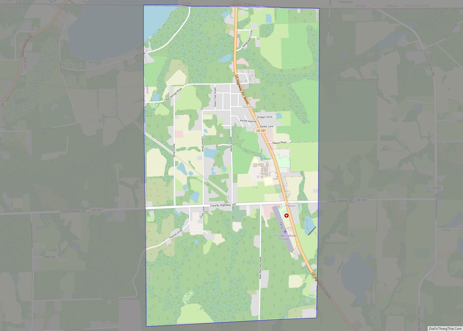
Online Interactive Map
Click on ![]() to view map in "full screen" mode.
to view map in "full screen" mode.
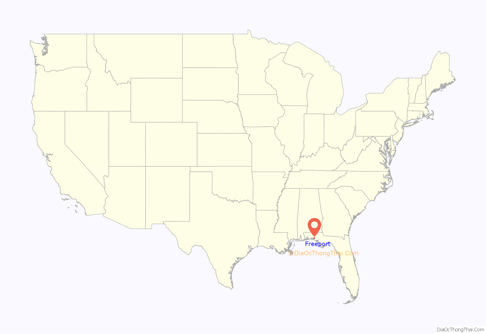
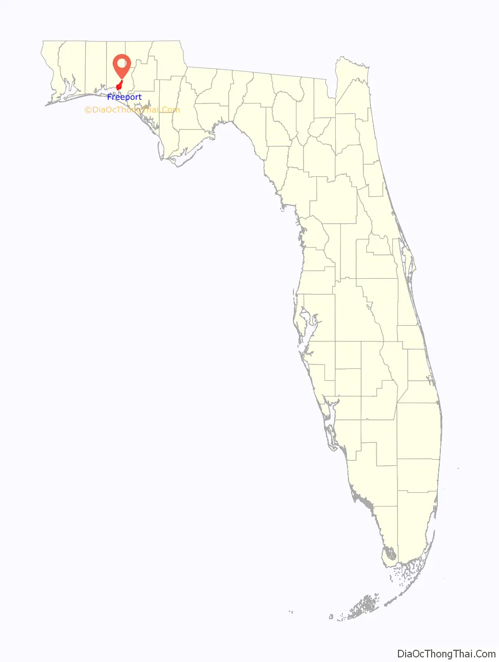
Freeport location map. Where is Freeport city?
History
Freeport is said to have been established c. 1830. The settlement was originally known as Genoa, later Four Mile Landing, and finally Freeport. It was supposedly named Freeport because there was no charge to use the dock (‘free port’) at the junction of Four Mile Creek and Lafayette Creek.
Historically, the economy of Freeport was largely dependent on the local timber industry through sawmills and logging, as well as the processing of turpentine.
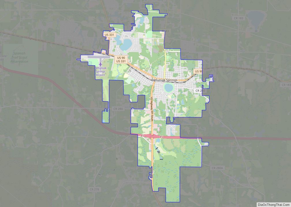
After the introduction of the railroad in Defuniak Springs, Freeport lost its position as the economic powerhouse in Walton County. Today it has a sizeable population of people who serve at Eglin AFB.
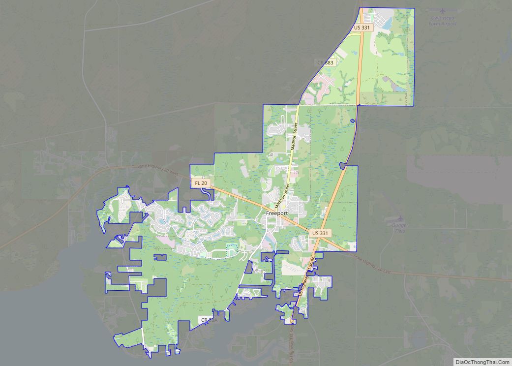
Freeport Road Map
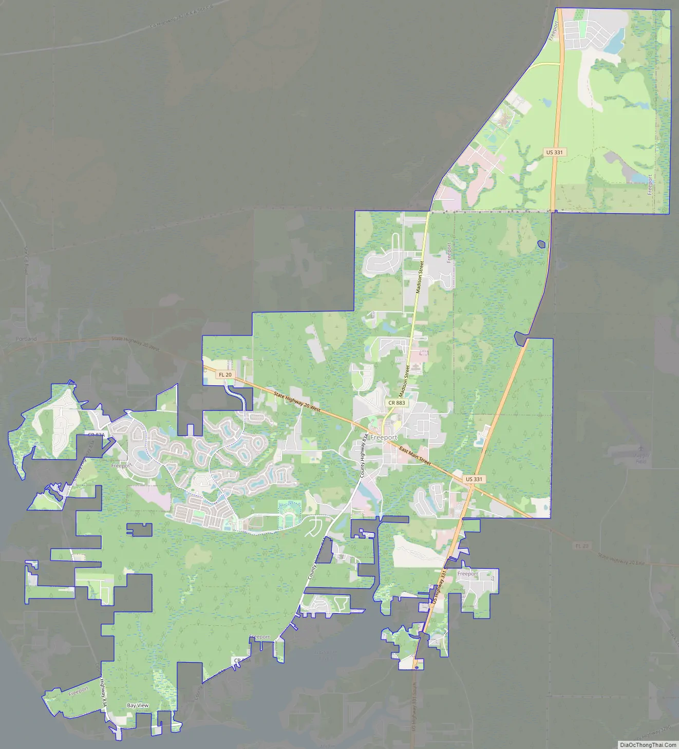
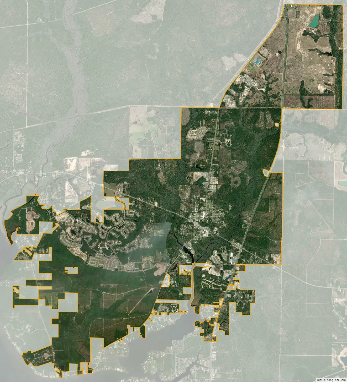
Freeport city Satellite Map
Geography
Freeport is located at 30°30′09″N 86°07′49″W / 30.502430°N 86.130255°W / 30.502430; -86.130255. The city is located along U.S. Route 331 and Florida State Road 20. U.S. 331 runs from north to south to the east of the city, leading north 17 mi (27 km) to DeFuniak Springs, the Walton County seat, and south 11 mi (18 km) to U.S. Route 98 near Santa Rosa Beach. FL-20 runs from west to east through the main part of the city, leading east 17 mi (27 km) to Ebro and west 24 mi (39 km) to Niceville.
According to the United States Census Bureau, the city has a total area of 28.0 km (10.8 sq mi), of which 10.8 square miles (28 km) is land and 0.04 square miles (0.10 km) (0.28%) is water.
Freeport is situated at the junction of Four Mile Creek and Lafayette Creek, which empty out into LaGrange Bayou, which is connected to the Choctawhatchee Bay.
See also
Map of Florida State and its subdivision:- Alachua
- Baker
- Bay
- Bradford
- Brevard
- Broward
- Calhoun
- Charlotte
- Citrus
- Clay
- Collier
- Columbia
- Desoto
- Dixie
- Duval
- Escambia
- Flagler
- Franklin
- Gadsden
- Gilchrist
- Glades
- Gulf
- Hamilton
- Hardee
- Hendry
- Hernando
- Highlands
- Hillsborough
- Holmes
- Indian River
- Jackson
- Jefferson
- Lafayette
- Lake
- Lee
- Leon
- Levy
- Liberty
- Madison
- Manatee
- Marion
- Martin
- Miami-Dade
- Monroe
- Nassau
- Okaloosa
- Okeechobee
- Orange
- Osceola
- Palm Beach
- Pasco
- Pinellas
- Polk
- Putnam
- Saint Johns
- Saint Lucie
- Santa Rosa
- Sarasota
- Seminole
- Sumter
- Suwannee
- Taylor
- Union
- Volusia
- Wakulla
- Walton
- Washington
- Alabama
- Alaska
- Arizona
- Arkansas
- California
- Colorado
- Connecticut
- Delaware
- District of Columbia
- Florida
- Georgia
- Hawaii
- Idaho
- Illinois
- Indiana
- Iowa
- Kansas
- Kentucky
- Louisiana
- Maine
- Maryland
- Massachusetts
- Michigan
- Minnesota
- Mississippi
- Missouri
- Montana
- Nebraska
- Nevada
- New Hampshire
- New Jersey
- New Mexico
- New York
- North Carolina
- North Dakota
- Ohio
- Oklahoma
- Oregon
- Pennsylvania
- Rhode Island
- South Carolina
- South Dakota
- Tennessee
- Texas
- Utah
- Vermont
- Virginia
- Washington
- West Virginia
- Wisconsin
- Wyoming