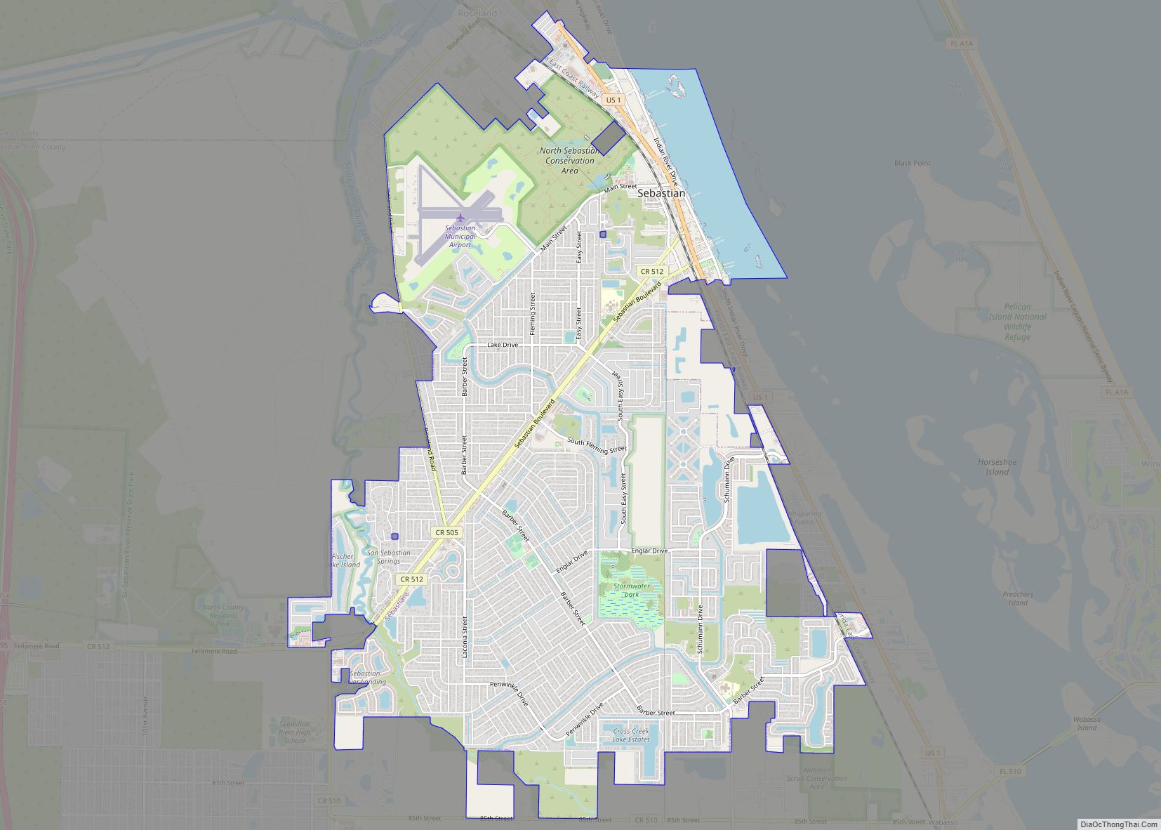
Gifford (/ˈɡɪfərd/) is an unincorporated community and census-designated place (CDP) in Indian River County, Florida, United States. It is part of the Sebastian–Vero Beach Metropolitan Statistical Area. The population was 5,511 at the 2020 census. Gifford has a rich African American history. Gifford is one of the poorest communities in Florida.
| Name: | Gifford CDP |
|---|---|
| LSAD Code: | 57 |
| LSAD Description: | CDP (suffix) |
| State: | Florida |
| County: | Indian River County |
| Elevation: | 13 ft (4 m) |
| Total Area: | 2.72 sq mi (7.04 km²) |
| Land Area: | 2.72 sq mi (7.04 km²) |
| Water Area: | 0.00 sq mi (0.00 km²) |
| Total Population: | 5,511 |
| Population Density: | 2,000/sq mi (780/km²) |
| ZIP code: | 32967 |
| Area code: | 772 |
| FIPS code: | 1225925 |
| GNISfeature ID: | 0283063 |
| Website: | www.ircgov.com |
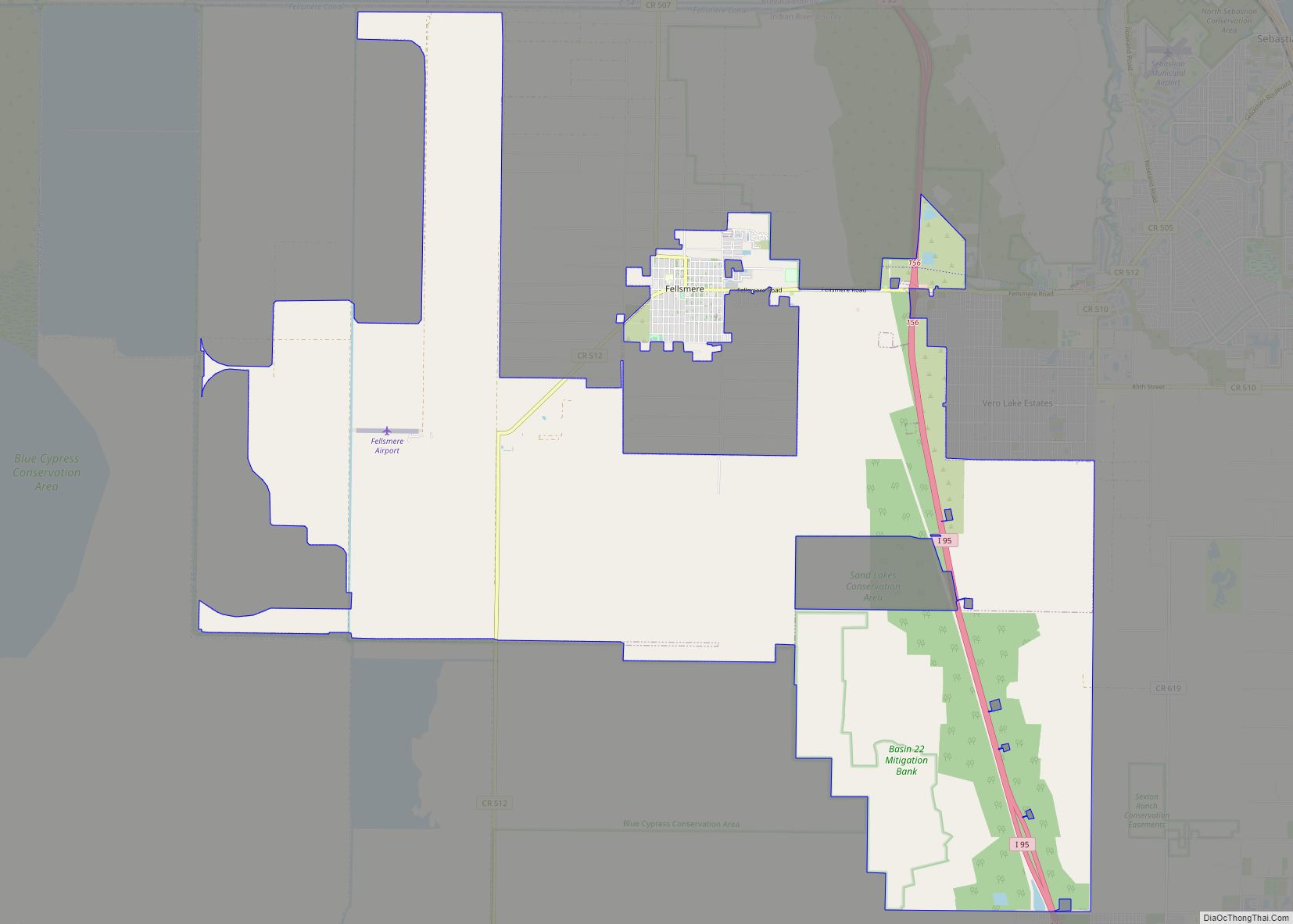
Online Interactive Map
Click on ![]() to view map in "full screen" mode.
to view map in "full screen" mode.
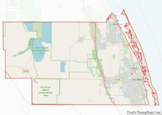
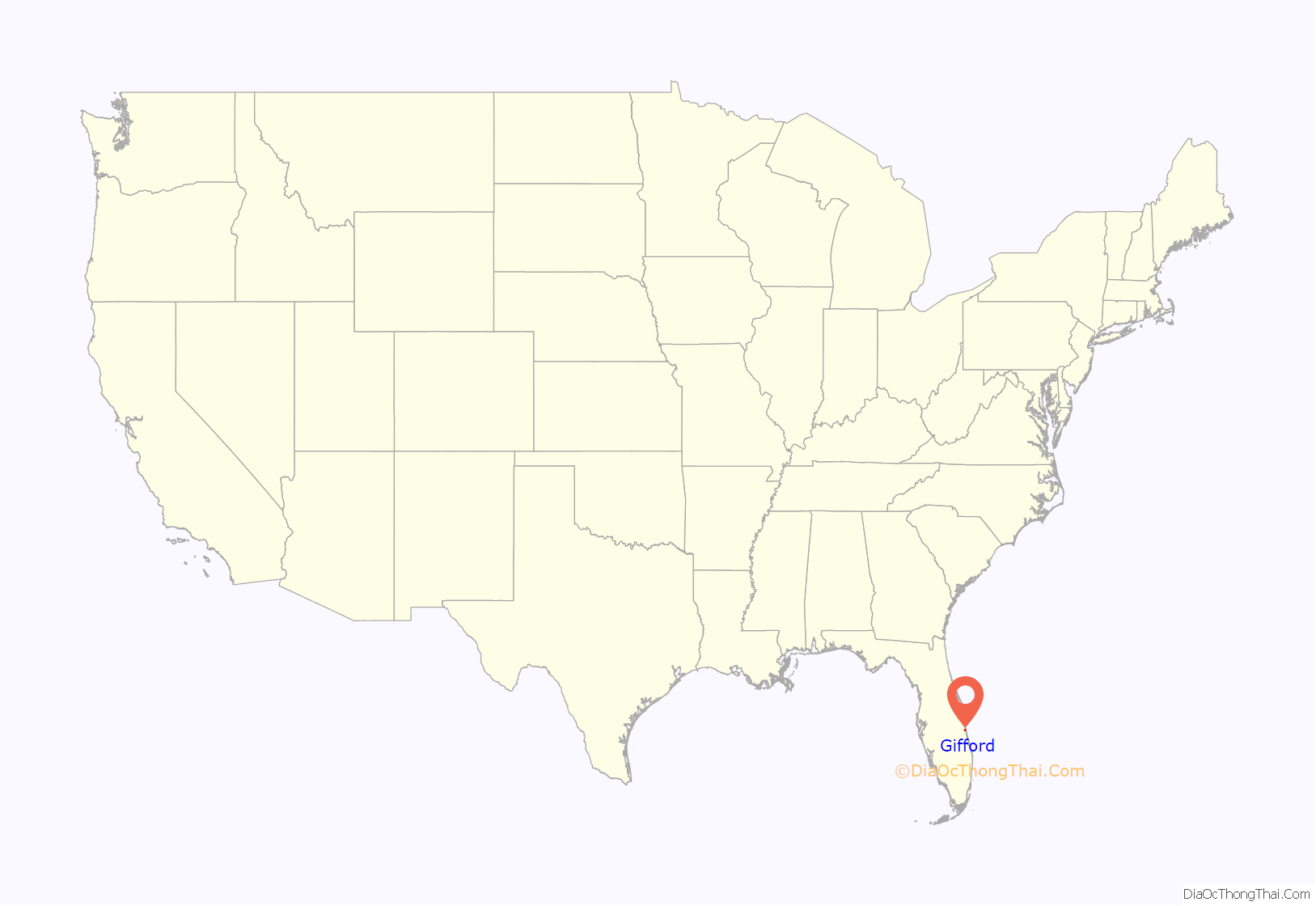
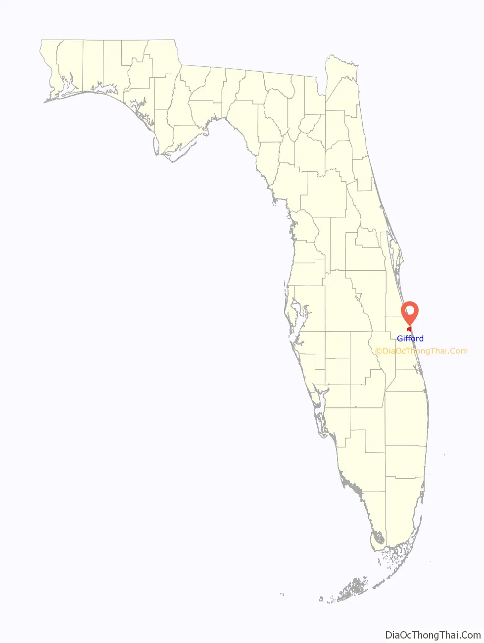
Gifford location map. Where is Gifford CDP?
History
The settlement of Gifford was organized in the mid-1880s, according to the Indian River County Historical Society. The area was named as the Woodley precinct in the 1900 census, and as a settlement village for black families, the community grew. By 1893, the early settlers of Gifford had been joined by black laborers who had come to work on Henry Flagler’s new railroad project, the Florida East Coast Railway. The residents named the small agricultural community Brownsville after farmer William Brown who settled there in 1880s, but another town in North Florida carried the same name. Instead, the community was named after Charlie Gifford, the railroad’s stationmaster and Henry T. Gifford’s son.
The town’s first school was built in 1898, but only served white children. In 1901 William Edward Geoffrey, a black man from Darlington, South Carolina who had come to work on the railroad, set up school for black children. The school served as the heart of the community and remained Gifford High School until integration, and the last graduating class was in 1969, before transitioning into the middle school.
In 2018, the Historic Macedonia Church was converted into the Gifford Historical Museum by the Gifford Community Cultural & Resource Center (GCCRC).
One of the highlights of Gifford is the Victor Hart Sr. Community Enhancement Complex located at the northern end of 43rd Avenue. The complex was renamed in 2017 to honor Mr. Hart for his work and outreach in the community.
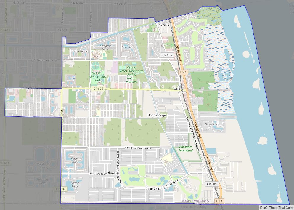
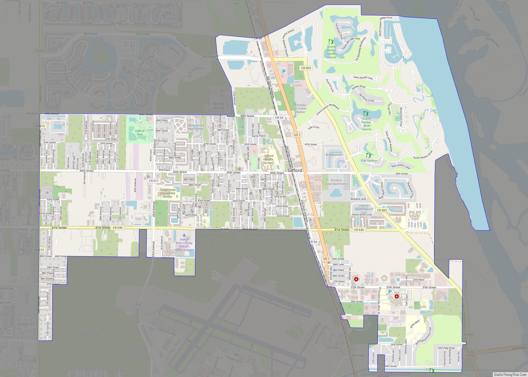
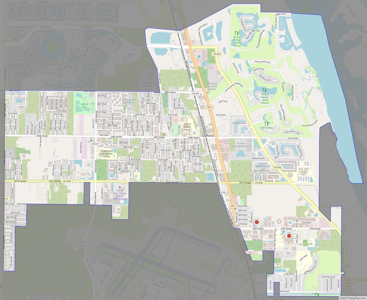
Gifford Road Map
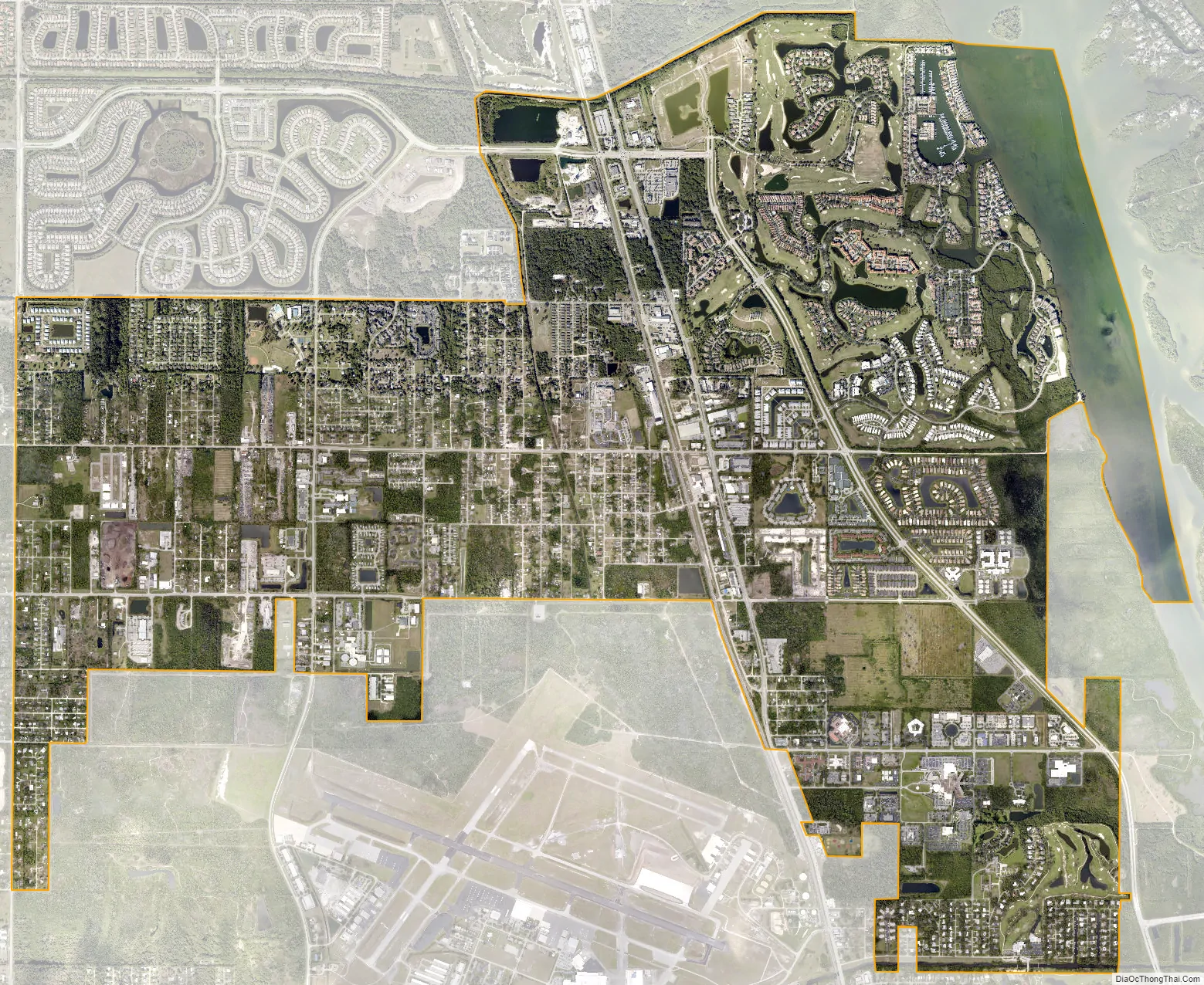
Gifford city Satellite Map
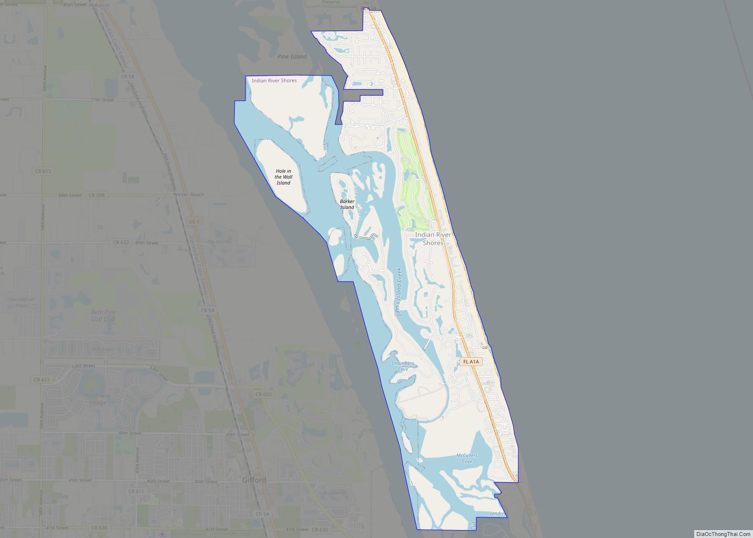
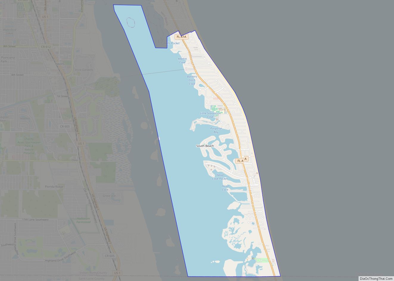
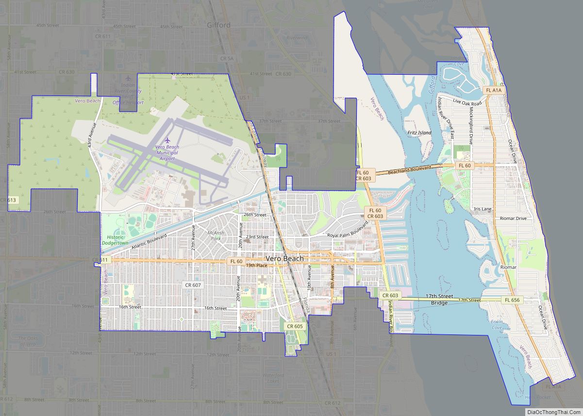
Geography
Gifford is in eastern Indian River County, on the west side of the Indian River, a tidal channel. It is bordered to the south by Vero Beach, the county seat; to the north by Winter Beach; and to the east, across the Indian River, by Indian River Shores. U.S. Route 1 passes through the center of Gifford, leading north 10 miles (16 km) to Sebastian and south through Vero Beach 17 miles (27 km) to Fort Pierce. Interstate 95 at Exit 147 is 9 miles (14 km) west of Gifford.
According to the United States Census Bureau, the Gifford CDP has a total area of 7.31 square miles (18.94 km), of which 6.81 square miles (17.65 km) are land and 0.50 square miles (1.29 km), or 6.79%, are water.
See also
Map of Florida State and its subdivision:- Alachua
- Baker
- Bay
- Bradford
- Brevard
- Broward
- Calhoun
- Charlotte
- Citrus
- Clay
- Collier
- Columbia
- Desoto
- Dixie
- Duval
- Escambia
- Flagler
- Franklin
- Gadsden
- Gilchrist
- Glades
- Gulf
- Hamilton
- Hardee
- Hendry
- Hernando
- Highlands
- Hillsborough
- Holmes
- Indian River
- Jackson
- Jefferson
- Lafayette
- Lake
- Lee
- Leon
- Levy
- Liberty
- Madison
- Manatee
- Marion
- Martin
- Miami-Dade
- Monroe
- Nassau
- Okaloosa
- Okeechobee
- Orange
- Osceola
- Palm Beach
- Pasco
- Pinellas
- Polk
- Putnam
- Saint Johns
- Saint Lucie
- Santa Rosa
- Sarasota
- Seminole
- Sumter
- Suwannee
- Taylor
- Union
- Volusia
- Wakulla
- Walton
- Washington
- Alabama
- Alaska
- Arizona
- Arkansas
- California
- Colorado
- Connecticut
- Delaware
- District of Columbia
- Florida
- Georgia
- Hawaii
- Idaho
- Illinois
- Indiana
- Iowa
- Kansas
- Kentucky
- Louisiana
- Maine
- Maryland
- Massachusetts
- Michigan
- Minnesota
- Mississippi
- Missouri
- Montana
- Nebraska
- Nevada
- New Hampshire
- New Jersey
- New Mexico
- New York
- North Carolina
- North Dakota
- Ohio
- Oklahoma
- Oregon
- Pennsylvania
- Rhode Island
- South Carolina
- South Dakota
- Tennessee
- Texas
- Utah
- Vermont
- Virginia
- Washington
- West Virginia
- Wisconsin
- Wyoming